Plan by interest
Things to do in Tasmania
Explore walks, heritage places, landscapes and local experiences across Tasmania.
Choose an activity, compare places and open a detailed guide before you plan the day. These collections bring together practical visitor information with the history and local context behind each place.
01
Walks
Heritage walks, coastal tracks, short walks and longer routes.
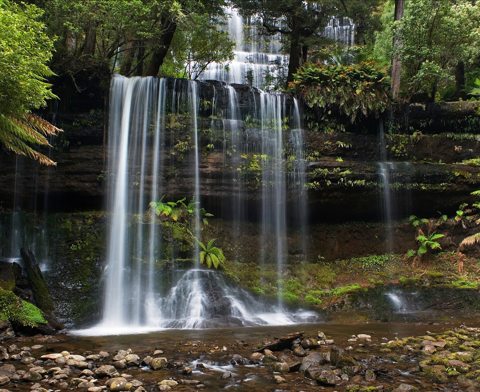
Image credit: JJ Harrison ( https://www.jjharrison.com.au/ ), CC BY-SA 3.0, Wikimedia CommonsWalkRussell Falls walk
Plan the short, accessible Russell Falls walk at Mount Field National Park, with track details, forest highlights, facilities and current-condition checks.
Read the guide →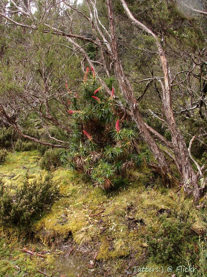 Image credit: Tatters ❀ from Brisbane, Australia, CC BY-SA 2.0, Wikimedia CommonsWalk · North West & West
The Overland Track
A practical guide to planning and walking the Overland Track in Cradle Mountain–Lake St Clair National Park. Covers route, terrain, bookings, transport, accommodation, essential kit and the checks to do before departure. Emphasis on alpine exposure, variable weather, hut limitations and the need to organise every transport link.
Read the guide → Image credit: JJ Harrison ( https://www.jjharrison.com.au/ ), CC BY-SA 3.0, via Wikimedia CommonsWalk · Central Tasmania
Walls of Jerusalem National Park
Prepare for the Walls of Jerusalem as a self-sufficient alpine journey with foot-only access and formal camping.
Read the guide →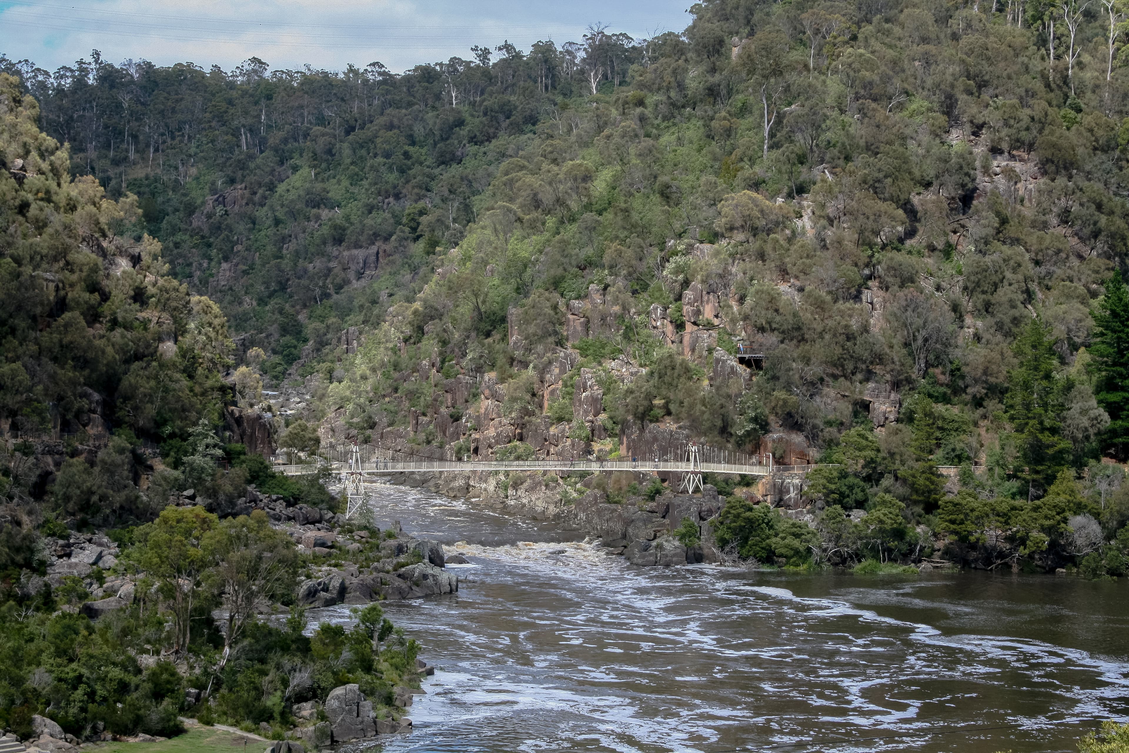 Image credit: Diego Delso, CC BY-SA 3.0, Wikimedia CommonsWalk · Launceston & North East
Cataract Gorge, Launceston
Cataract Gorge Reserve sits on the South Esk River just west of Launceston CBD. Pick a route by surface and time: the sealed riverside Cataract Walk to First Basin is short and flat, while Duck Reach and upper trails are longer and rougher. First Basin supplies basic visitor services and seasonal pool supervision.
Read the guide →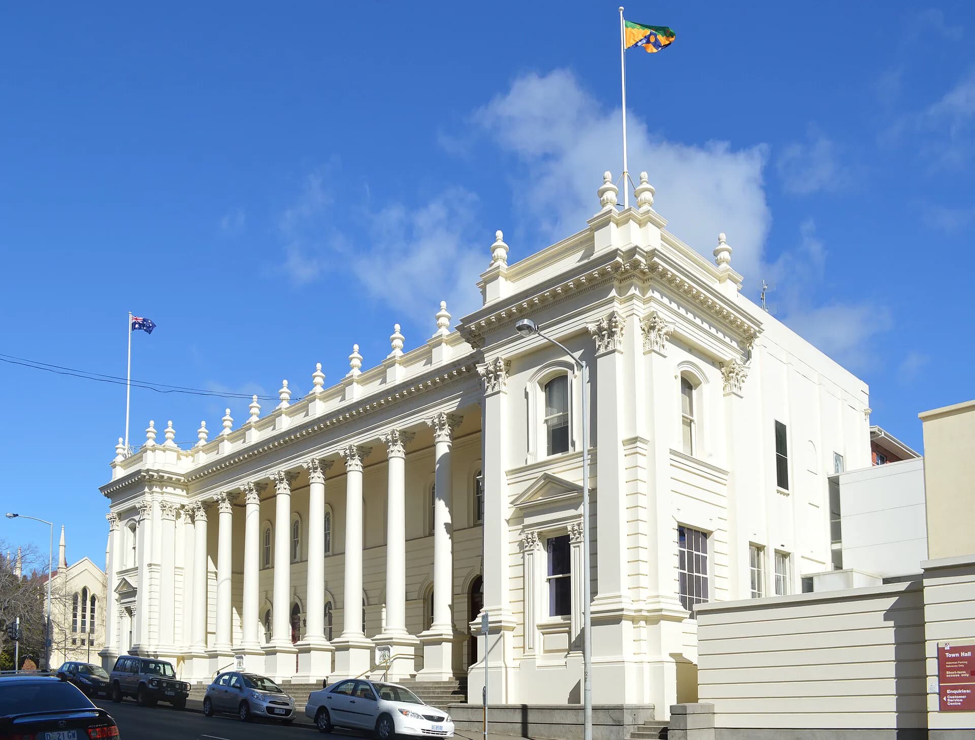 Image credit: Mattinbgn (talk · contribs) via Wikimedia Commons, CC BY 3.0.Walk · North & North East
Launceston heritage walk
A practical walking route through Launceston’s civic centre, Georgian streets, Victorian parks and industrial edge.
Read the guide →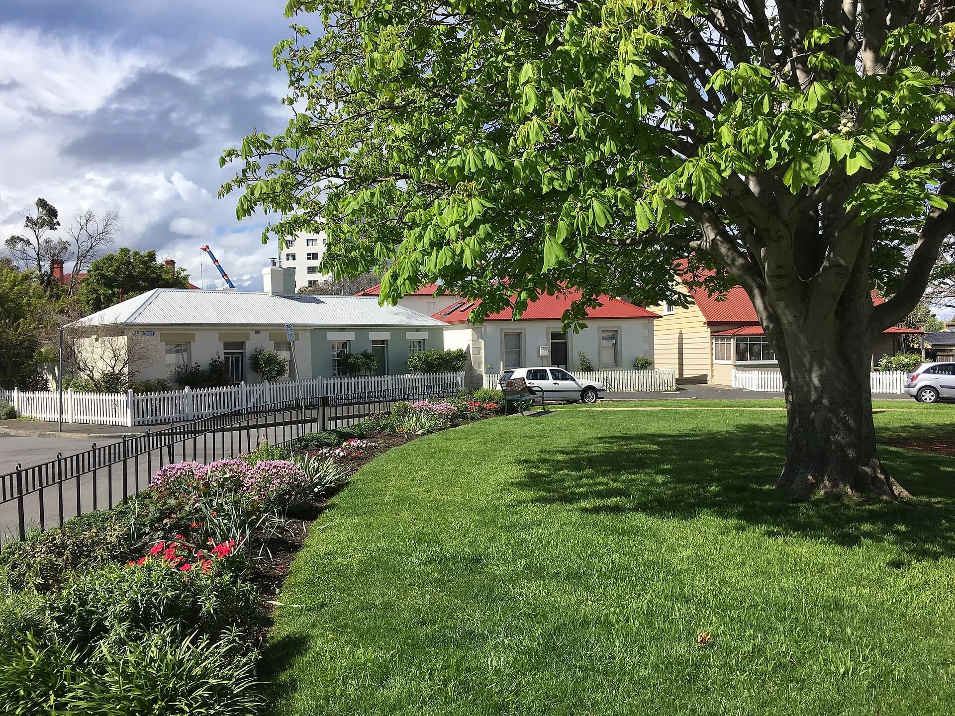 Image credit: Phil Whitehouse, CC BY 2.0, via Wikimedia CommonsWalk · Hobart & South
Battery Point heritage walk
A practical walking route through Battery Point’s cottages, maritime streets, Arthur Circus and waterfront edges, with context for reading the suburb’s architecture.
Read the guide →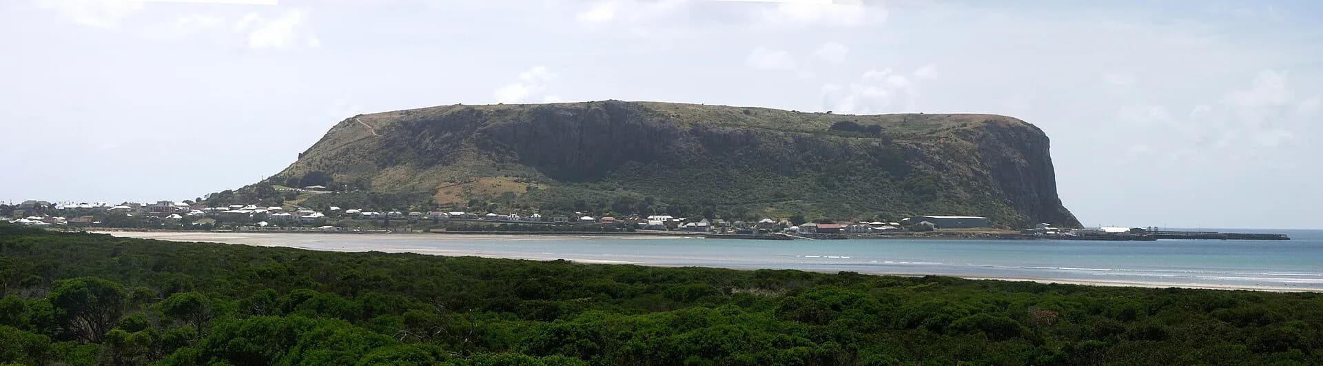 Image credit: Didier B ( Sam67fr ), CC BY-SA 2.5, via Wikimedia CommonsWalk · North West & West
Stanley heritage walk
A compact walking route through Stanley’s port, Church Street, historic buildings and views beneath munatrik / The Nut.
Read the guide → Image credit: Ralph Bottrill, CC BY 3.0, Wikimedia CommonsWalk · Launceston & North East
Blue Tier Regional Reserve
Blue Tier Regional Reserve in north‑east Tasmania offers short accessible rainforest circuits, steep summit climbs and longer one‑way heritage walks. Match track grade to fitness and experience, follow vehicle and track rules, prepare for rapid weather change and note that camping is not permitted anywhere in the reserve.
Read the guide →02
Road trips
Routes with realistic driving advice and worthwhile stops.
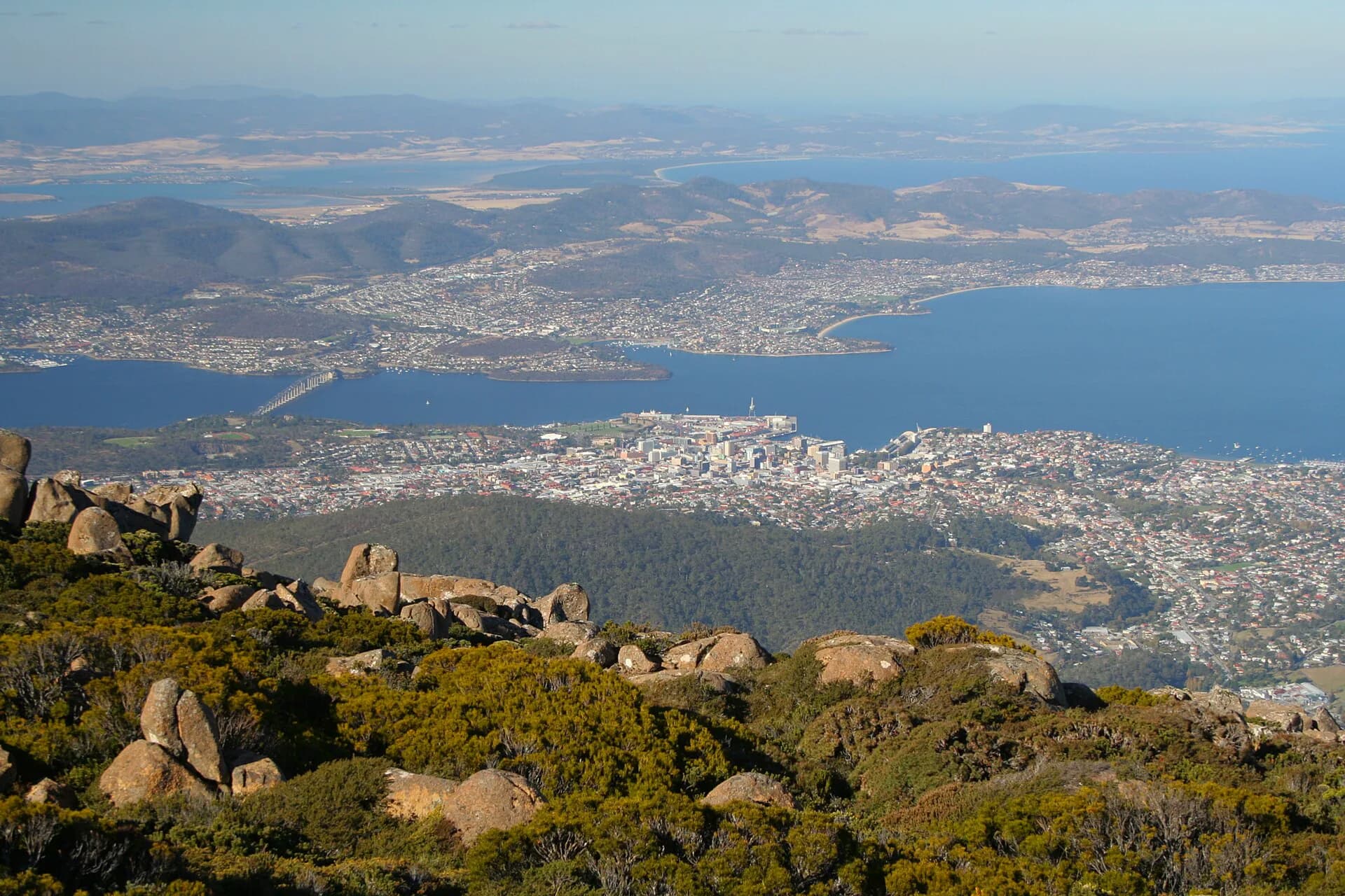 Image credit: Nick Pitsas, CSIRO, CC BY 3.0, via Wikimedia CommonsRoad trip
A Realistic Tasmania Circuit Road Trip
Plan a Tasmania circuit with realistic drive times, fewer bases and enough margin for weather, ferries, walks and road conditions.
Read the guide →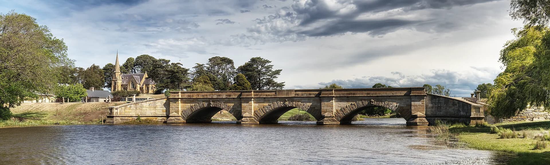 Image credit: JJ Harrison (https://www.jjharrison.com.au/) via Wikimedia Commons, CC BY-SA 3.0.Road trip · Central Tasmania
Heritage Highway, Tasmania
A road-trip guide to the Midland Highway’s sandstone towns, colonial infrastructure, convict sites and longer Aboriginal history.
Read the guide →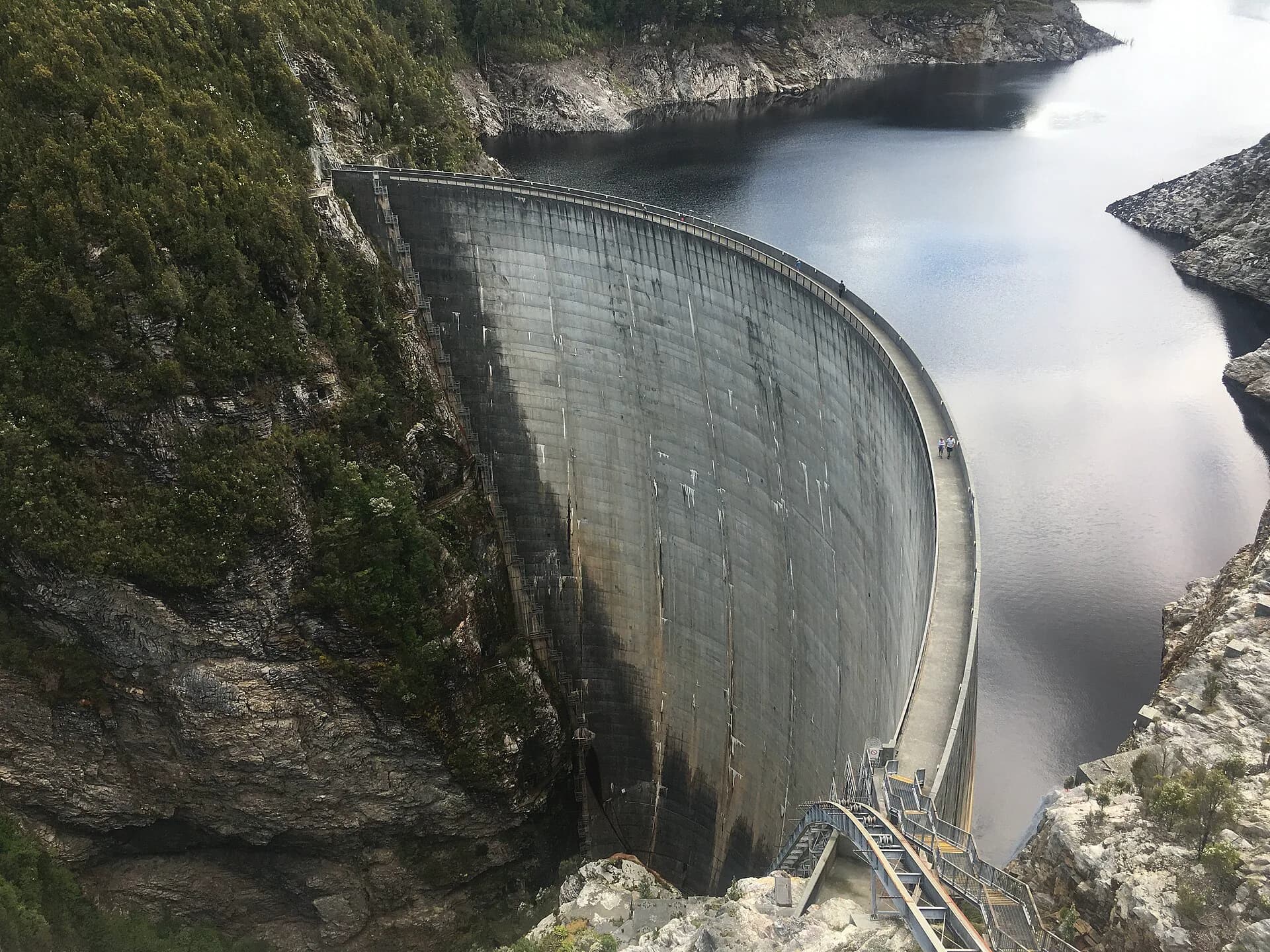 Image credit: BennyG3255, CC BY-SA 4.0, via Wikimedia CommonsRoad trip · Hobart & South
Gordon River Road to Lake Pedder and Gordon Dam
Plan Gordon River Road as a long return journey through Maydena, Lake Pedder and Strathgordon, with fuel, weather and walking limits understood.
Read the guide →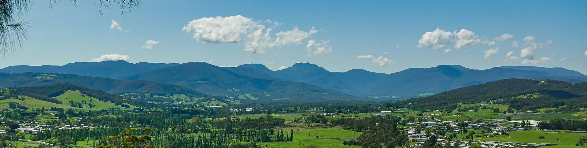 Image credit: jacobharrisau, CC BY-SA 2.0, via Wikimedia CommonsRoad trip · Hobart & South
Huon Valley Drive
Plan a Huon Valley driving loop through Huonville, Cygnet and Franklin, with options for the lower valley and Far South.
Read the guide →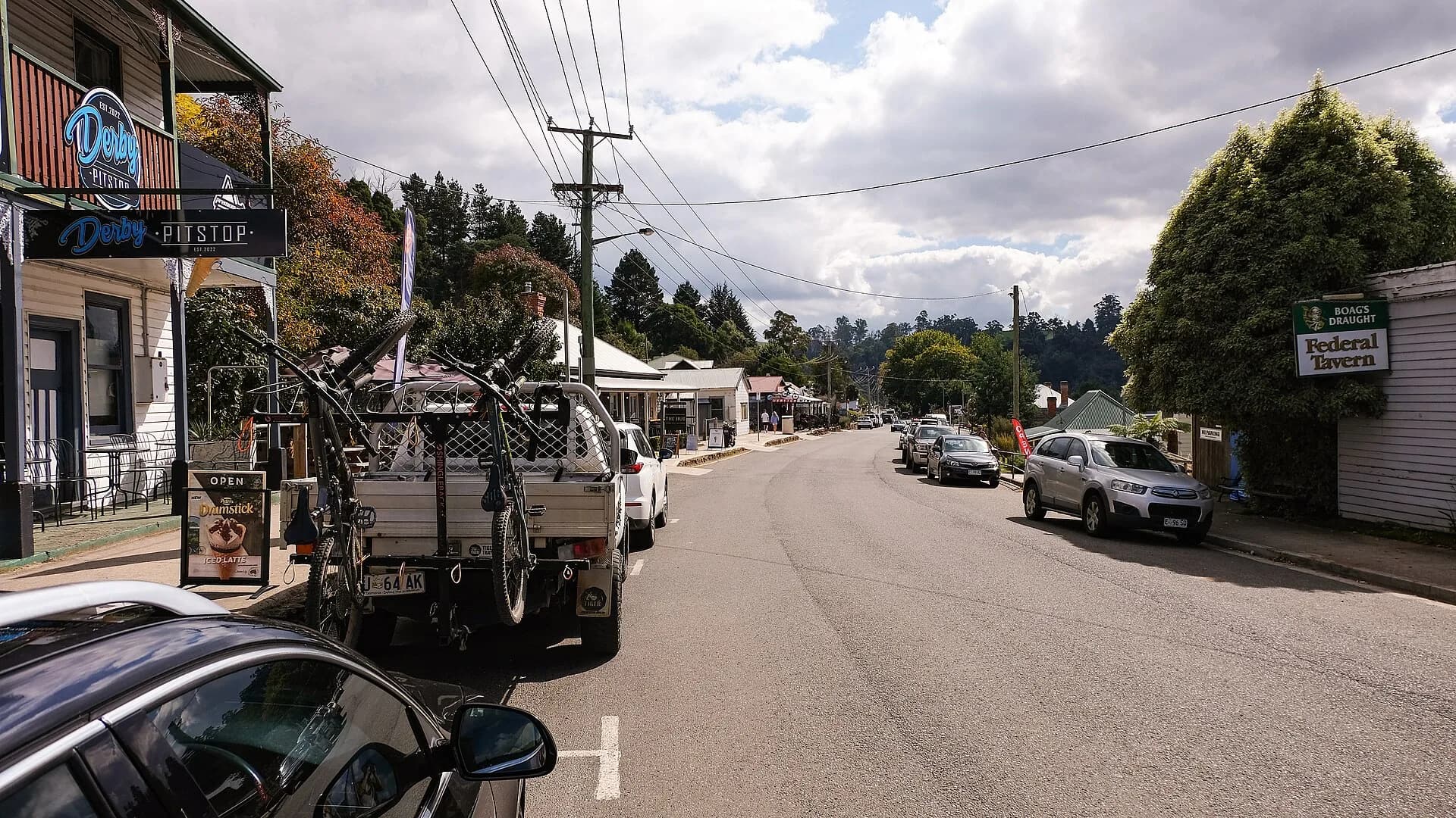 Image credit: jacobharrisau, CC BY-SA 2.0, via Wikimedia CommonsRoad trip · Launceston & North East
North Eastern Tasmania Drive
Build a flexible two or three-day drive through George Town, Scottsdale, Derby and St Helens without underestimating rural distances.
Read the guide →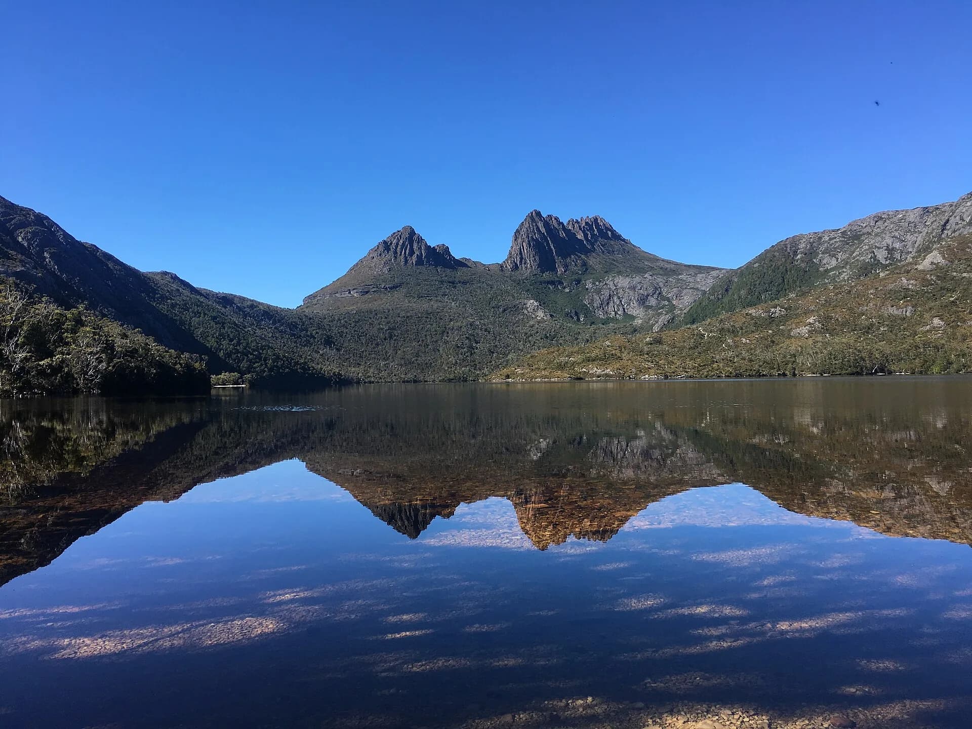 Image credit: BennyG3255, CC BY-SA 4.0, via Wikimedia CommonsRoad trip
Devonport to Cradle Mountain drive
A practical road-trip guide from Devonport through Sheffield and mountain country to the Cradle Mountain visitor centre.
Read the guide →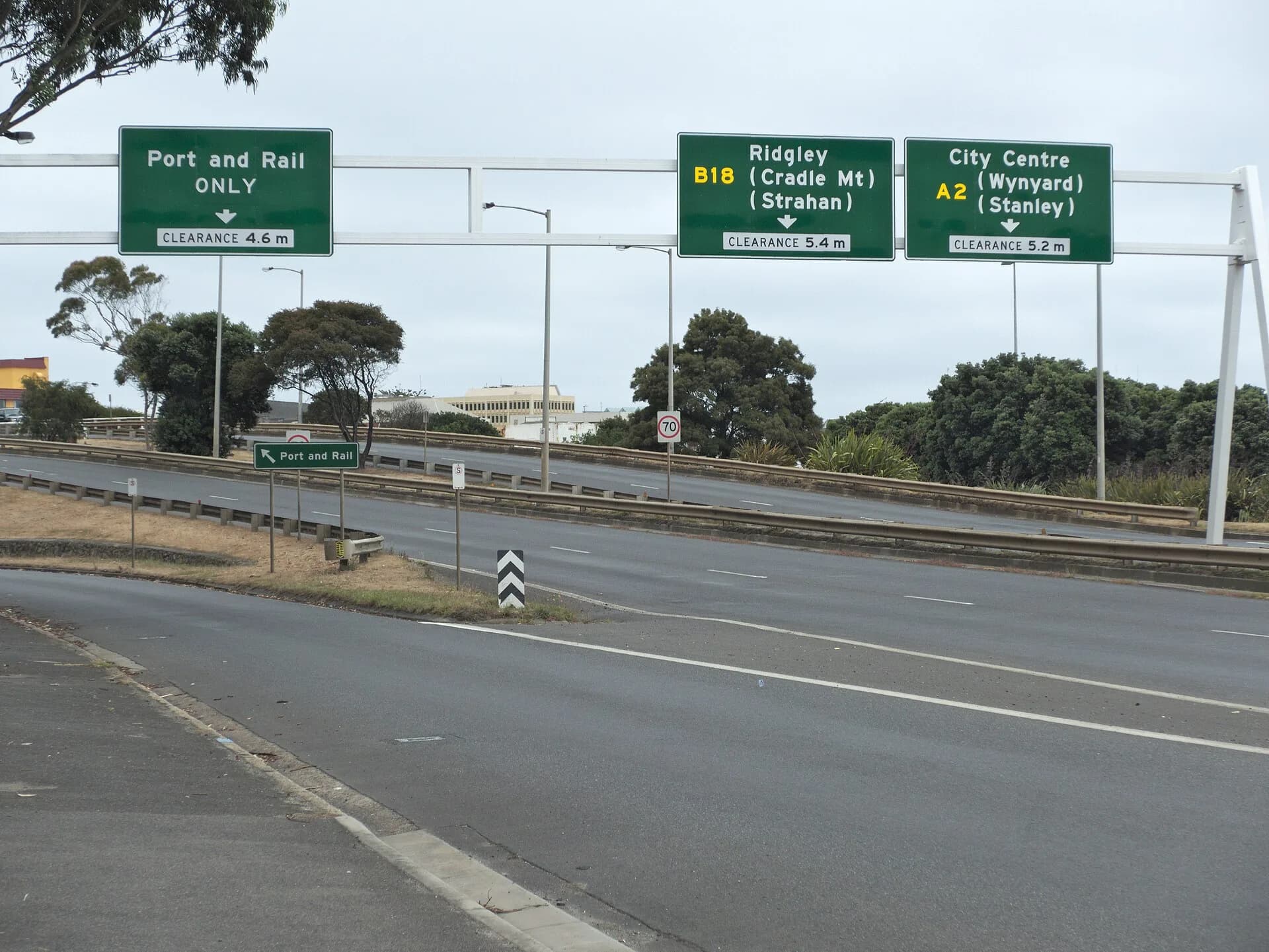 Image credit: Gary Houston, CC0, via Wikimedia CommonsRoad trip · North West & West
Bass Highway Road Trip
Plan the Bass Highway as a working intercity road with separate coastal stops rather than a continuous scenic lookout drive.
Read the guide →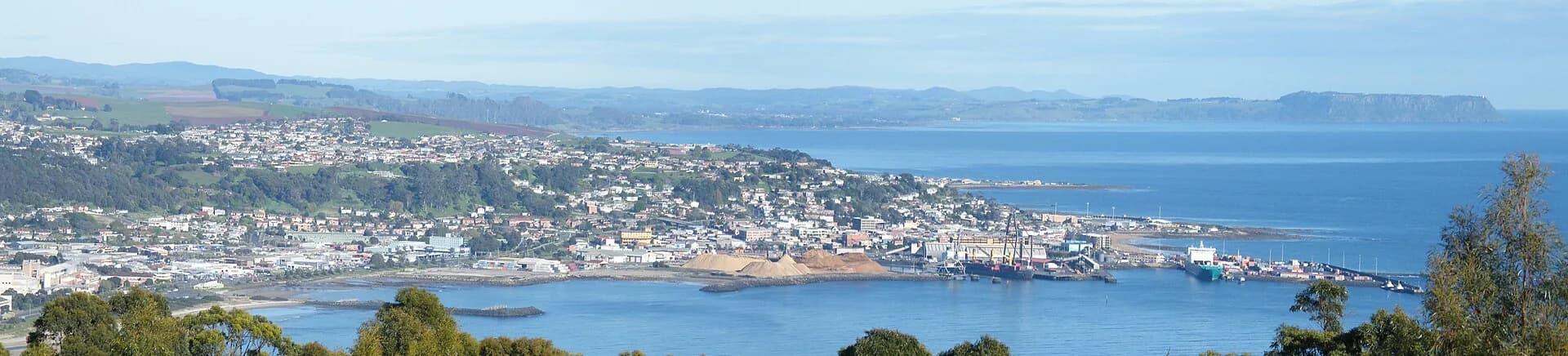 Image credit: NAPARAZZI, CC BY-SA 2.0, via Wikimedia CommonsRoad trip · North West & West
Beyond Central Burnie
Build a practical half-day or full-day circuit through Fern Glade, Guide Falls, Upper Natone and the coastal districts around Burnie.
Read the guide →03
Attractions, museums and galleries
Wildlife sanctuaries, museums, gardens, heritage railways and other places worth planning around.
Image credit: JJ Harrison ( https://www.jjharrison.com.au/ ), CC BY-SA 3.0, Wikimedia CommonsAttractionMount Field National Park
Mount Field National Park is a varied World Heritage park within easy driving distance of Hobart. It offers wheelchair-accessible short walks to Russell Falls, tall eucalypt forests, alpine tarns and seasonal skiing at Lake Dobson. Prepare for rapidly changing mountain weather, purchase a parks pass, check alerts and pack to the standards recommended by Parks and Wildlife Service Tasmania.
Read the guide →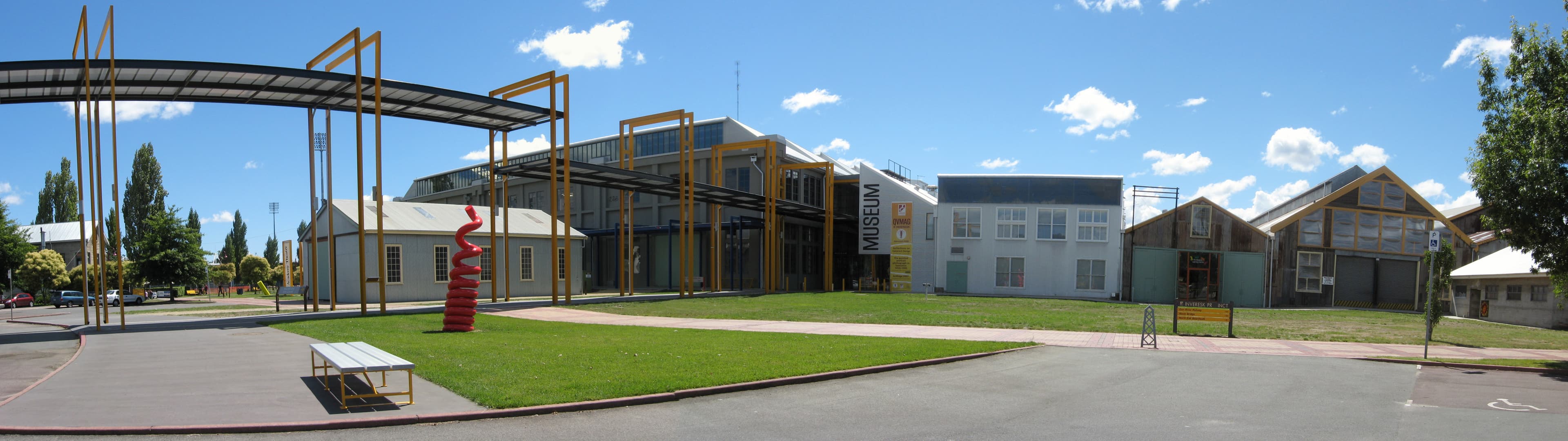 Image credit: Kspilling at English Wikipedia, CC BY-SA 3.0, Wikimedia CommonsAttraction
Queen Victoria Museum and Art Gallery
QVMAG in Launceston comprises two public sites that present art, history and natural science collections plus a planetarium. The Museum at Inveresk and the Art Gallery at Royal Park are free to enter; the planetarium runs on a ticketed schedule. Plan ahead: check opening hours and current exhibitions, book planetarium sessions if you want to attend, and review access and conditions of entry.
Read the guide → Image credit: Dhx1, CC0, Wikimedia CommonsAttraction
Royal Tasmanian Botanical Gardens
A compact guide to visiting the Royal Tasmanian Botanical Gardens in Hobart. Includes what to see, opening details, on-site facilities, suitability for different visitors and practical checks to make before you go.
Read the guide → Image credit: JJ Harrison ( https://www.jjharrison.com.au/ ), CC BY-SA 3.0, Wikimedia CommonsAttraction
Bonorong Wildlife Sanctuary
Practical visitor guide to Bonorong Wildlife Sanctuary near Hobart. Includes address and transport options, opening hours, ticketing and tours, animals on site, facilities and food, rescue contacts, accessibility notes and travel checks to plan a responsible visit.
Read the guide →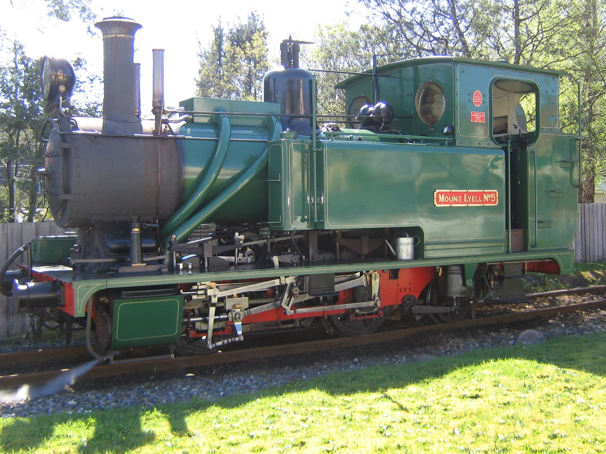 Image credit: Scott Davis, CC BY 2.5, Wikimedia CommonsAttraction
West Coast Wilderness Railway
The West Coast Wilderness Railway runs heritage steam and diesel services between Queenstown and Strahan across rainforest, river gorges and historic mining country. Journeys range from short, fully seated trips to longer expedition-style experiences with station stops and off-train activities. The original line opened in the 1890s, closed in 1963 and was restored and reopened for passengers in.
Read the guide →![Photograph of Hugh Munro Hull, before 1882 Hugh Munro Hull In: Members of the Parliaments of Tasmania No. 24 Publisher: Hobart : J. W. Beattie, [19--] Description: 1 photograph : sepia toning ; 14 x 10 cm. Format: [picture]. Photograph ADRI: AUTAS001125647164 Source: Allport Library and Museum of Fine Arts Notes: Exact measurements 140 x 98 mm Title inscribed in pencil beneath image in unknown hand. In: Members of the Parliaments of Tasmania - no. 24 / photographed by J.W. Beattie.](/_next/image?url=https%3A%2F%2Fjkwhtxmcyktrxqjgjvgf.supabase.co%2Fstorage%2Fv1%2Fobject%2Fpublic%2Fmedia%2Fnewsroom%2F2026%2F2dcc5493-56d5-4408-ac86-42a77e5b9efb-allport-library-and-museum-of-fine-arts-state-library-archives.jpg&w=3840&q=75) Image credit: Henry Hall Baily / John Watt Beattie, Public domain, Wikimedia CommonsHeritage
Image credit: Henry Hall Baily / John Watt Beattie, Public domain, Wikimedia CommonsHeritageAllport Library and Museum of Fine Arts (State Library & Archives)
Practical guide to visiting the Allport Library and Museum of Fine Arts in Hobart. Covers location, opening hours, collection highlights, access and photography rules, group visits and research arrangements, legal and governance background, and final checks to make before you travel.
Read the guide →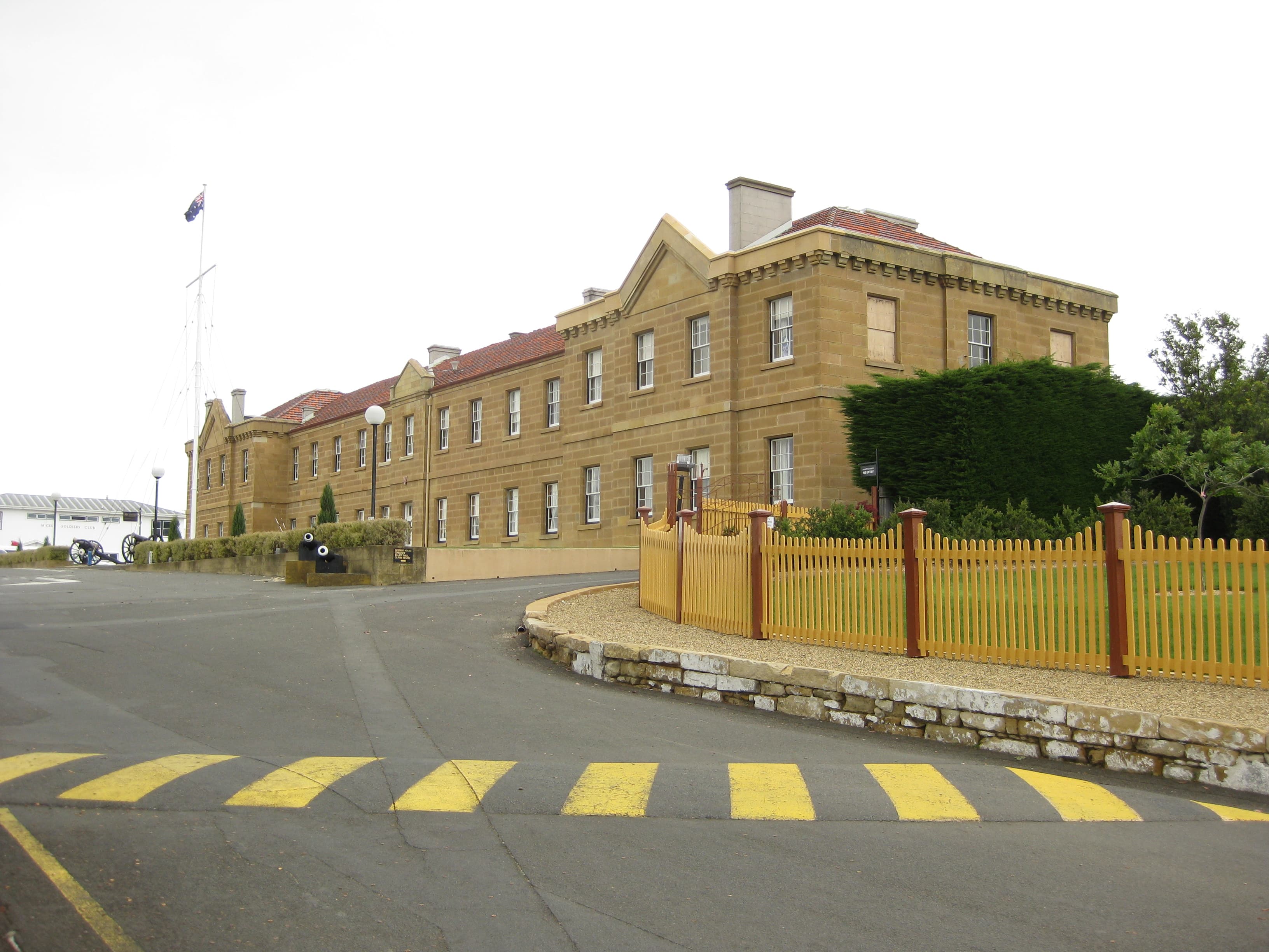 Image credit: Nick-D, CC BY-SA 3.0, Wikimedia CommonsHeritage
Anglesea Barracks (Hobart) — military precinct & museum
Practical visitor guide to Anglesea Barracks in Hobart covering what to expect on site, key buildings, museum tours, access conditions and checks to make before you travel. Includes contact details for the Army Museum of Tasmania and notes about heritage listing and event access via Open House Hobart.
Read the guide →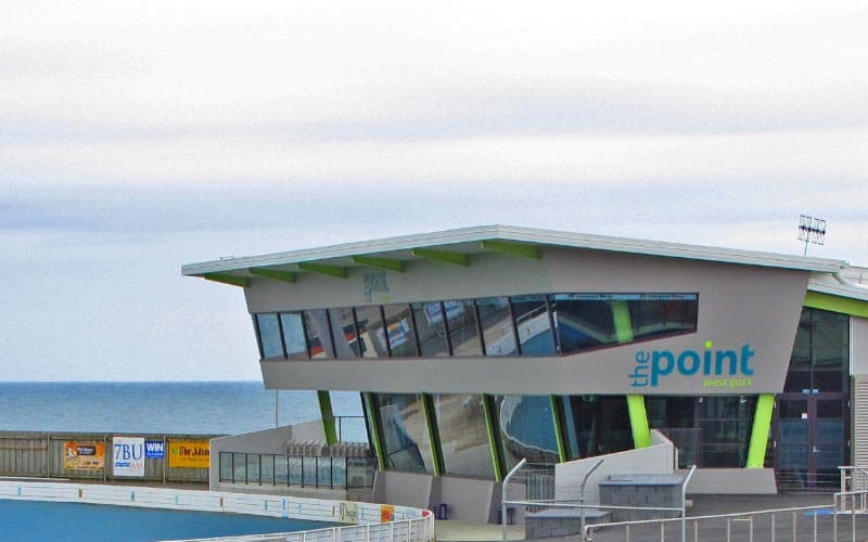 Image credit: Forfuxake ( talk ). Original uploader was Forfuxake at English Wikipedia, CC0, Wikimedia CommonsHeritage
Burnie — heritage, history and museum attractions (inferred)
Practical guide to Burnie’s heritage attractions centred on the Burnie Regional Museum’s Federation Street pioneer village and the preserved Burnie Inn in Burnie Park. Includes what to expect on site, facilities, access, opening pattern, suitability and checks to make before you travel.
Read the guide →04
Beaches and coast
Beaches, headlands, islands and coastal landscapes.
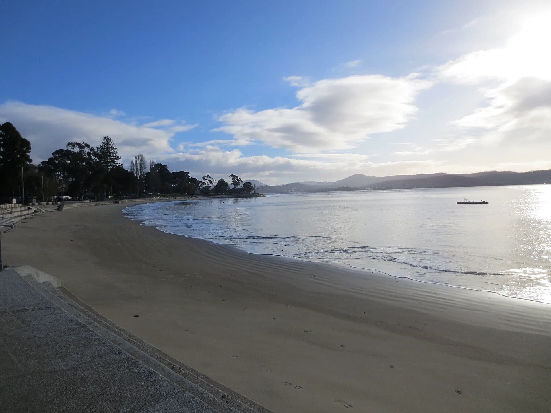 Image credit: Spaceboy56, CC BY-SA 4.0, via Wikimedia CommonsGuide
Hobart beaches
A practical guide to beaches around Hobart, from Long Beach and Hinsby Beach to eastern-shore and lower-Derwent options.
Read the guide → Image credit: Gary Houston, CC0, via Wikimedia CommonsGuide
Beaches of Tasmania’s North West Coast
Choose north-west Tasmania beaches by weather, patrol status, access and coastal character from Devonport to the far north-west.
Read the guide →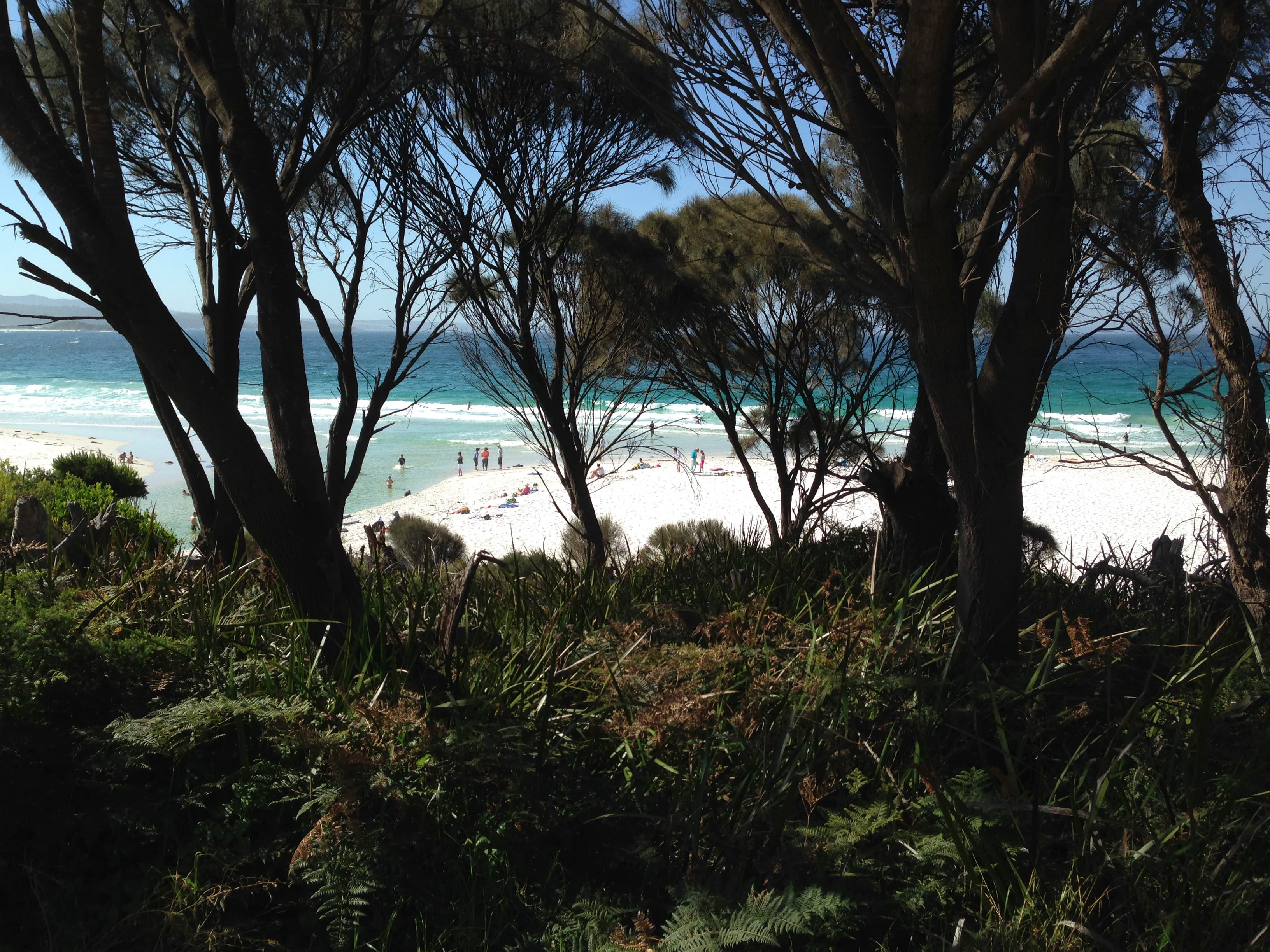 Image credit: Sue mcarthur, CC BY-SA 4.0, Wikimedia CommonsAttraction · North West & West
Central Coast Beaches
Practical guide to Central Coast beaches around Penguin, Ulverstone, Turners Beach and Leith. Explains access, facilities, how river mouths change conditions, which sections are patrolled, and the detailed local dog rules. Includes checks to make before you visit and contacts to confirm current signage and patrol status.
Read the guide →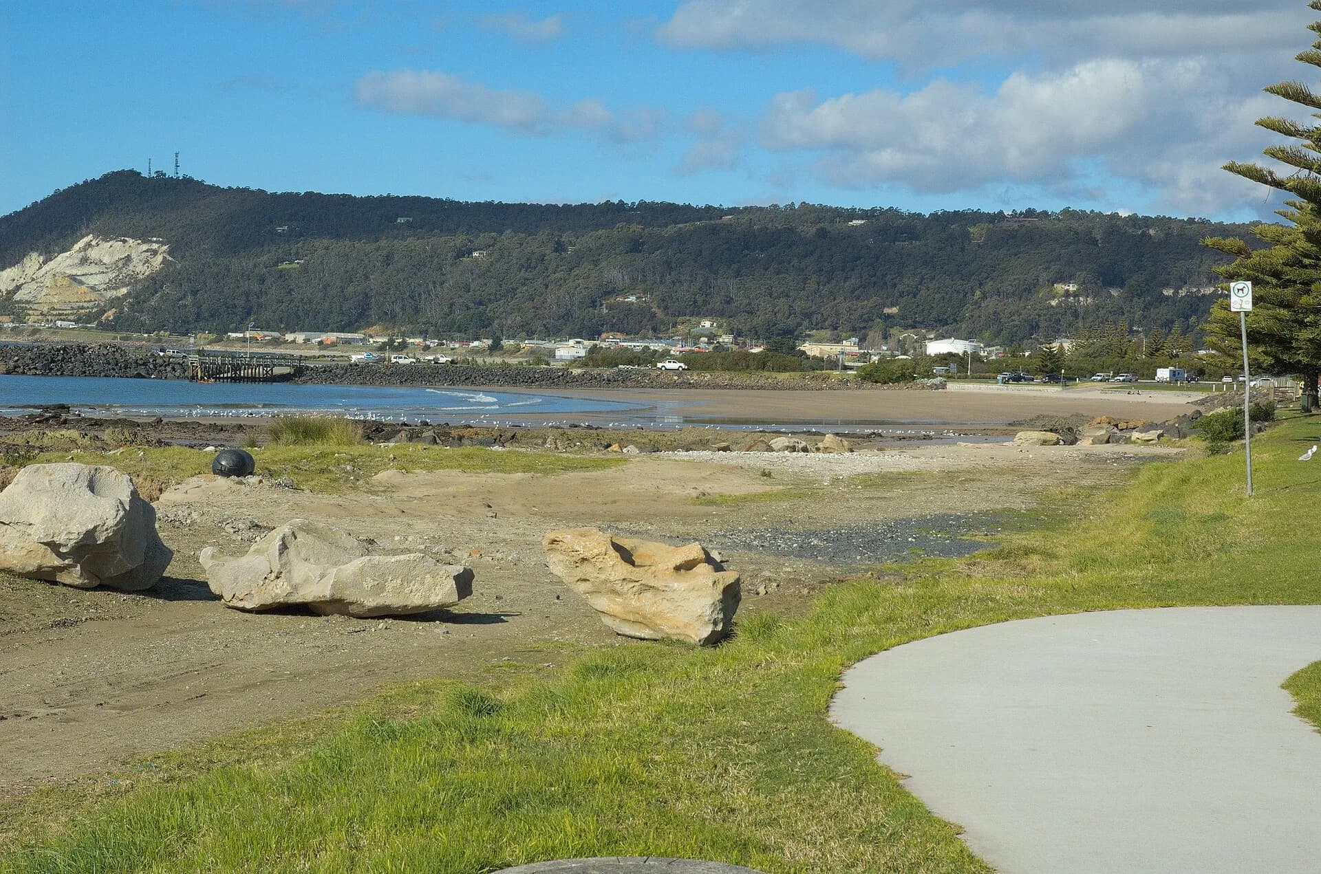 Image credit: Gary Houston, CC0, via Wikimedia CommonsAttraction · North West & West
Burnie’s Beaches and Shore
Explore Burnie’s shore as a working urban coast, with beach conditions, penguin habitat and port boundaries in mind.
Read the guide →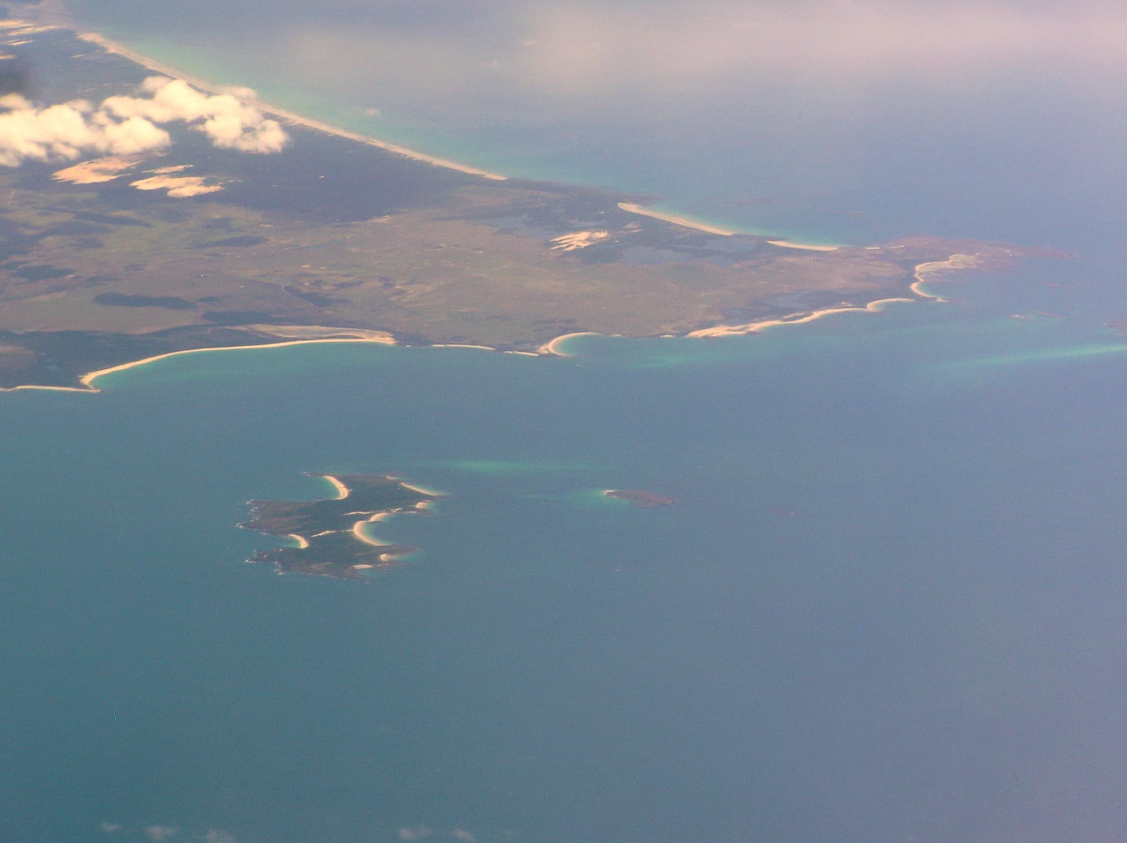 Image credit: Graeme Bartlett, CC BY-SA 3.0, Wikimedia CommonsOutdoors · Launceston & North East
Boobyalla Beach
Practical guide to Boobyalla Beach on Tasmania's north coast. Covers location, surf and bar systems, extensive dunes and reserve limits, access by 4WD, lack of patrols, suitability for visitors and essential checks to make before travelling.
Read the guide → Image credit: Daniel Case, CC BY-SA 4.0, Wikimedia CommonsPlace
Beechford (George Town / Launceston region) — locality and beach
Beechford is a small north‑facing beach locality in the George Town / Launceston region of northern Tasmania. The shoreline is characterised by shallow basalt reefs, boulder flats and a river mouth that flows across the beach. The settlement is small and backed by hummocky dunes. Local council contact details and 2021 census figures are cited; check those and local conditions before travelling.
Read the guide →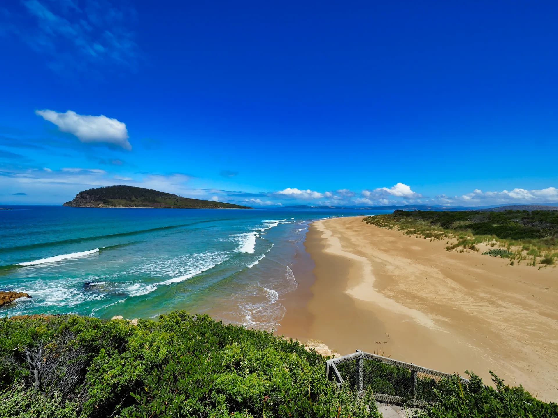 Image credit: Thomas & Olivia Williams, CC BY 2.0, via Wikimedia CommonsPlace · Hobart & South
Betsey Island
Understand Betsey Island’s reserve status, wildlife values and how to view it responsibly from the South Arm coast.
Read the guide →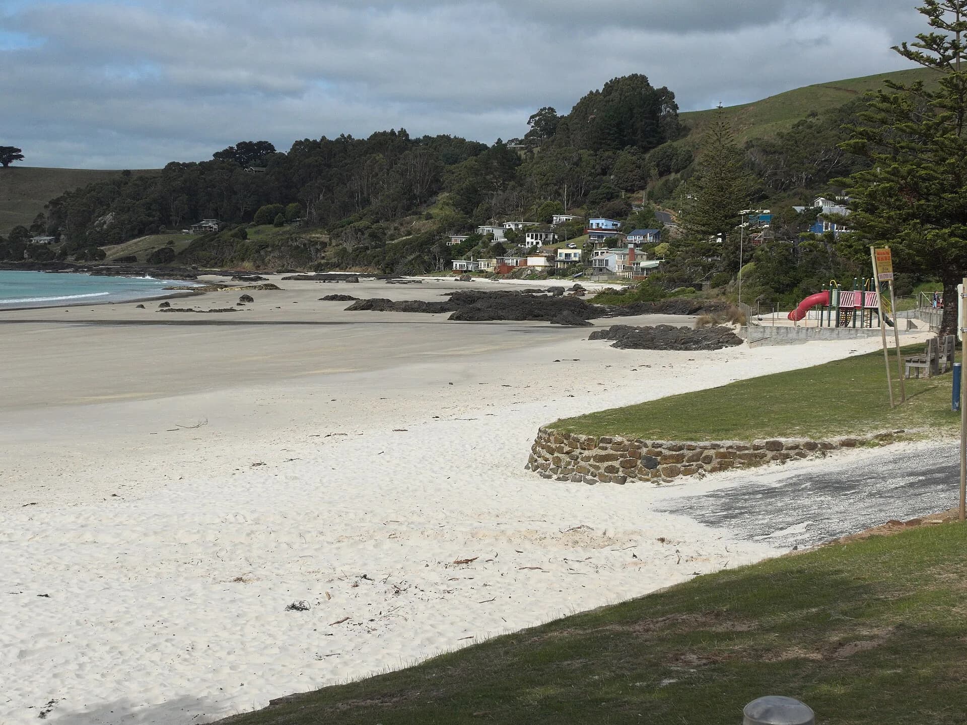 Image credit: Gary Houston, CC0, via Wikimedia CommonsPlace · North West & West
Boat Harbour Beach
Visit Boat Harbour Beach with current facility, patrol, parking, walking and day-use information.
Read the guide →05
History and heritage
Places understood through their people, buildings and industries.
 Image credit: JJ Harrison (https://www.jjharrison.com.au/) via Wikimedia Commons, CC BY-SA 3.0.History
Tasmania’s convict past
A clear introduction to transportation to Van Diemen’s Land, the systems that controlled convict lives and the places and records that survive.
Read the guide →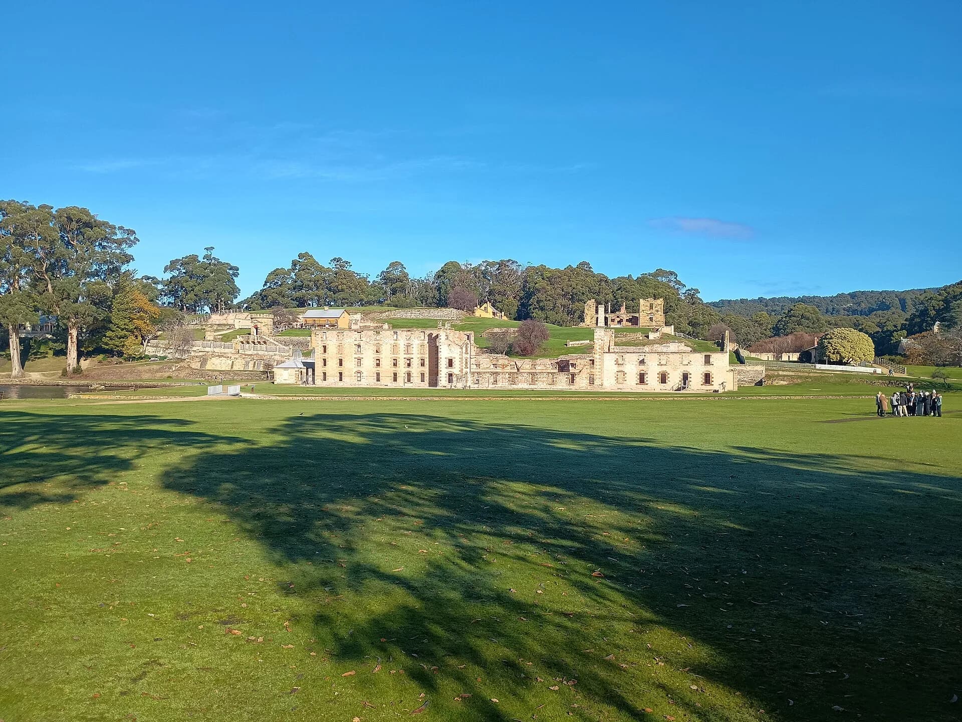 Image credit: Pacificwizard, CC0, via Wikimedia CommonsHeritage
Tasmania’s convict sites
A guide to Tasmania’s five World Heritage convict sites and other places that reveal assignment, punishment, industry and the lives of transported people.
Read the guide →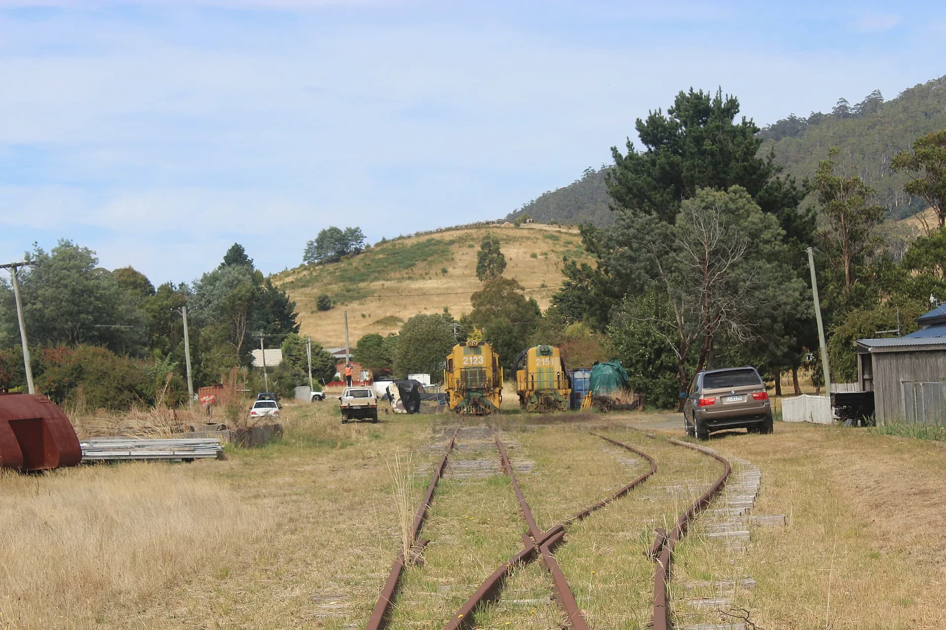 Image credit: TasmanianMapping via Wikimedia Commons, CC BY-SA 4.0.History · North & North East
North East Railway
The railway that crossed the hills from Launceston to Scottsdale and Herrick, why it was built, what survives and how part of the corridor is used today.
Read the guide →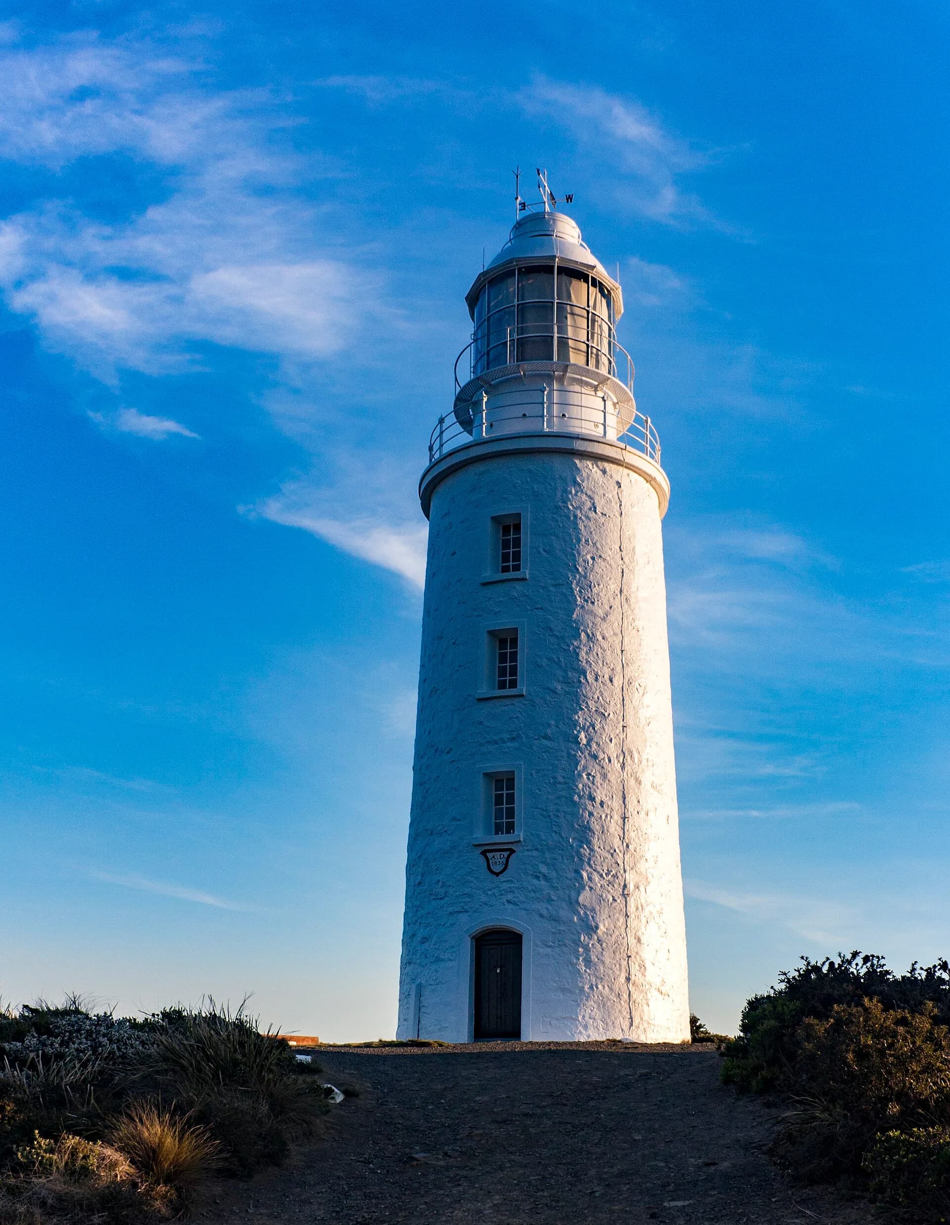 Image credit: Steven Penton from Bakers Beach, Tasmania Australia, CC BY 2.0, via Wikimedia CommonsHeritage · Tasmania
Tasmania’s Lighthouses
Explore Tasmania’s lighthouse network through accessible precincts, maritime history and the difference between a public lookout and an operating aid to navigation.
Read the guide →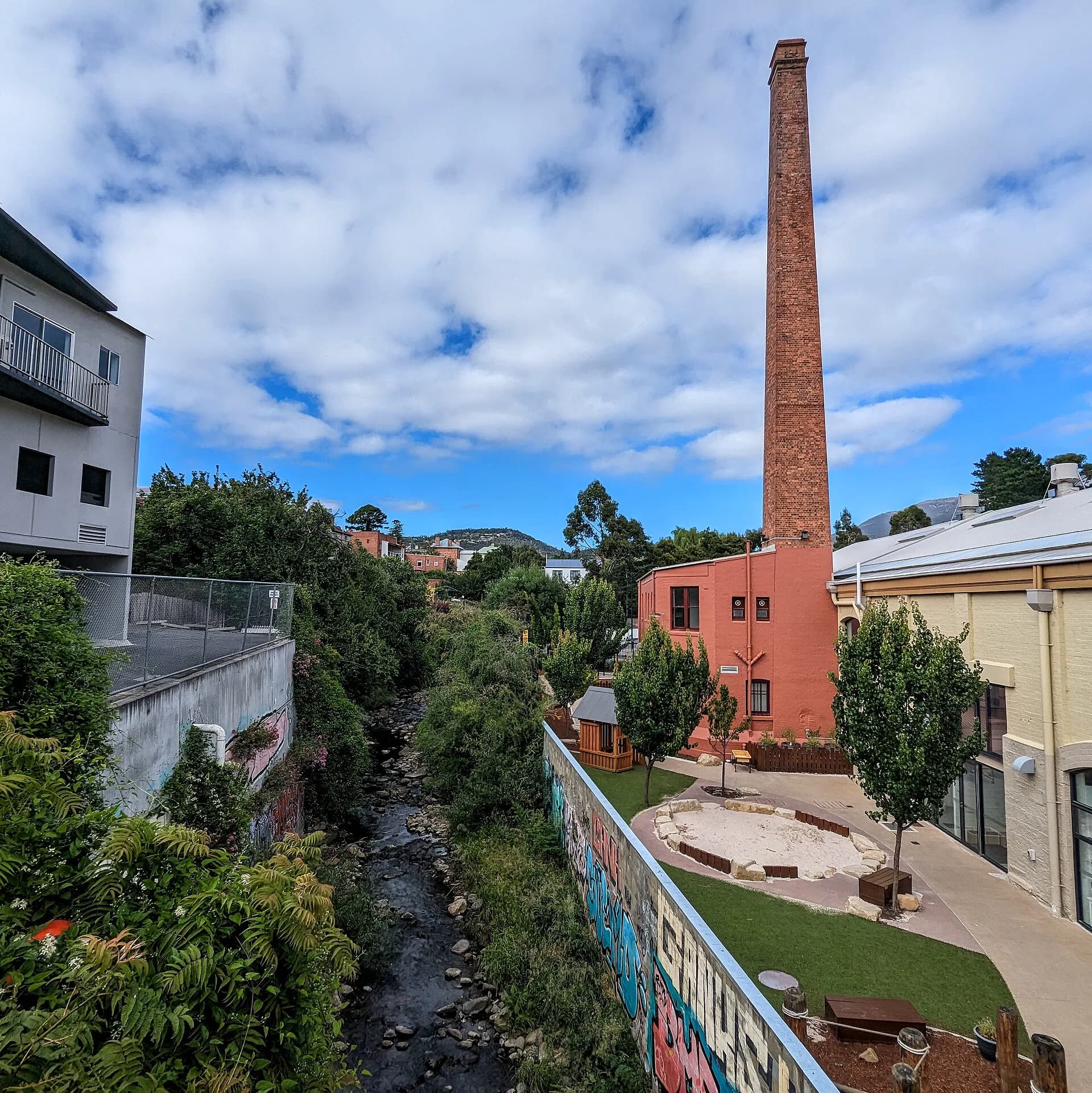 Image credit: Dicklyon via Wikimedia Commons, CC BY-SA 4.0.History · Hobart & South
Hobart’s rivulets
Follow the Hobart, New Town and Sandy Bay rivulets from kunanyi / Mount Wellington through the city, including their walking tracks, wildlife and hidden urban reaches.
Read the guide →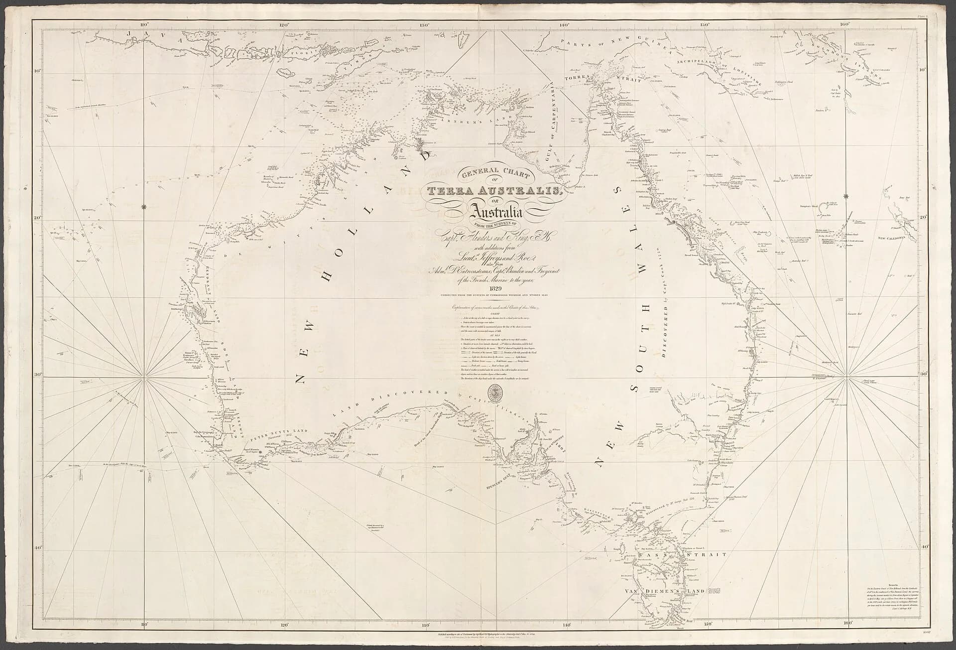 Image credit: Capt. Hurd. Hydrographer, Public domain, via Wikimedia CommonsHistory · Tasmania
A History of Tasmania
Start exploring Tasmanian history through living Aboriginal cultures, colonial invasion, work, migration, environment and political change.
Read the guide →Image credit: Mattinbgn (talk · contribs), CC BY 3.0, via Wikimedia CommonsHistory · North & North EastA history of Launceston
Launceston’s history from Aboriginal Country and the Port Dalrymple settlement to a city shaped by trade, industry, civic ambition and conservation.
Read the guide →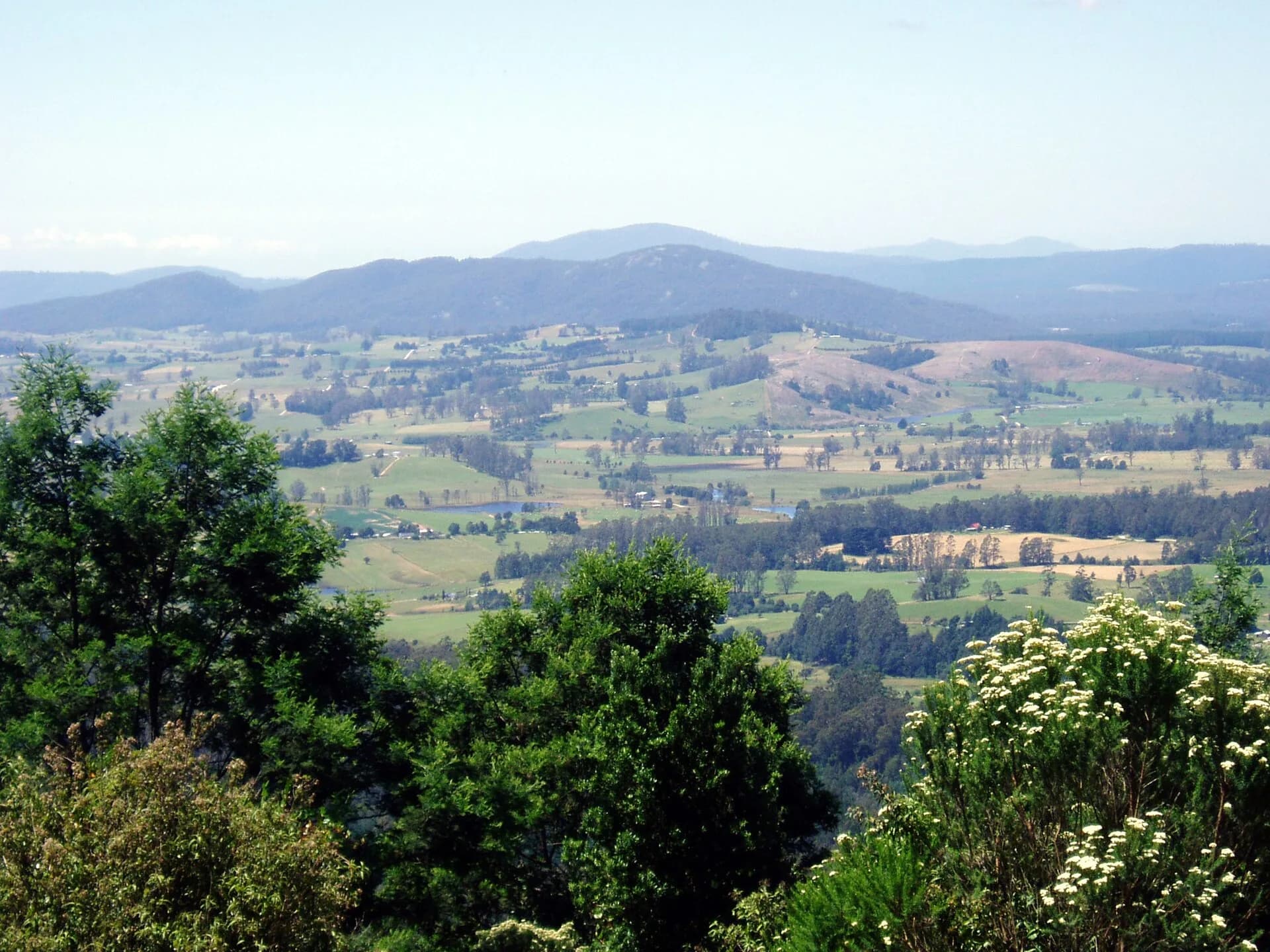 Image credit: gekko, CC BY-SA 3.0, via Wikimedia CommonsHistory
A history of north-east Tasmania
An introduction to the north-east through Aboriginal Country, pastoral settlement, tin mining, Chinese Tasmanian history, railways and changing rural industries.
Read the guide →06
Food and drink
Wine regions, markets, local producers and regional food guides.
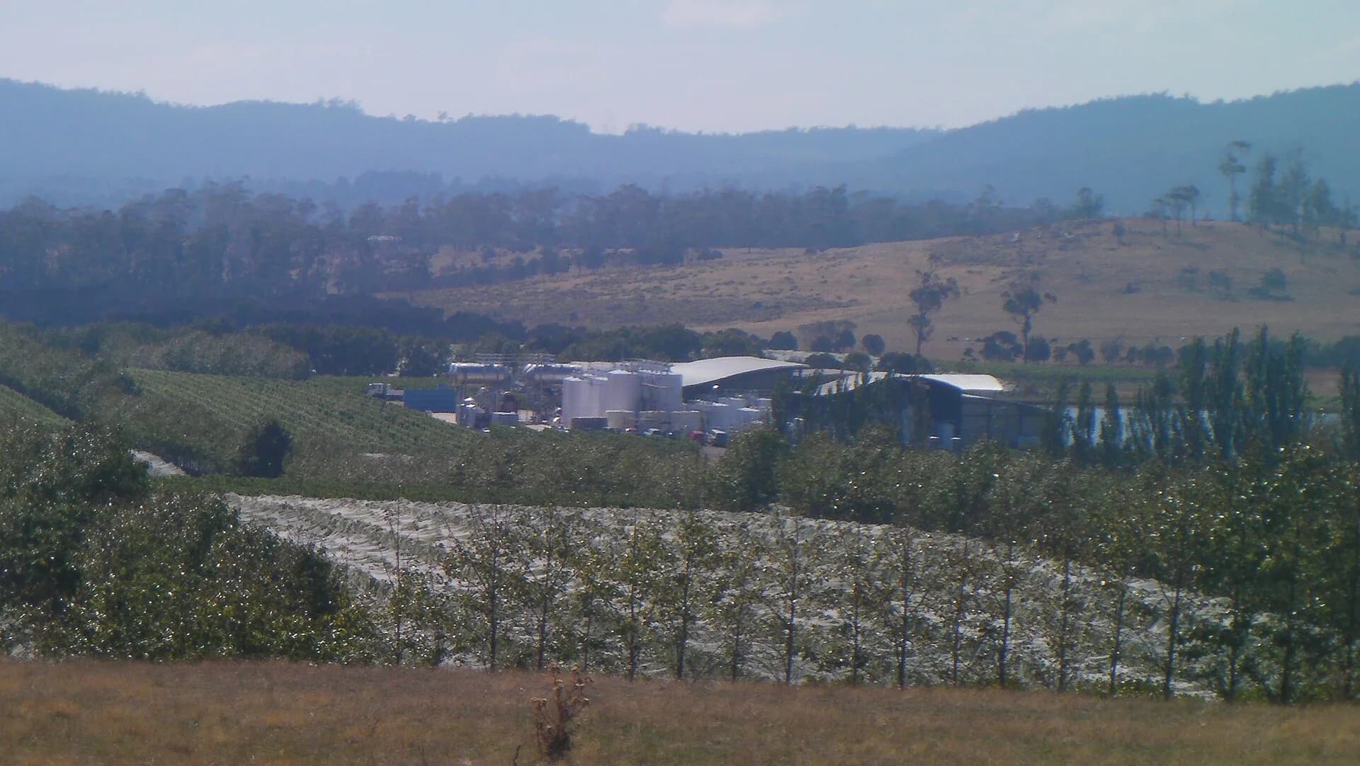 Image credit: Robert Pitkin, CC BY-SA 2.0, via Wikimedia CommonsFood and drink · Launceston & North East
Tamar Valley wine region
Plan a safe, informed Tamar Valley wine trip with context on varieties, geography, cellar-door checks and the limits of a single day.
Read the guide →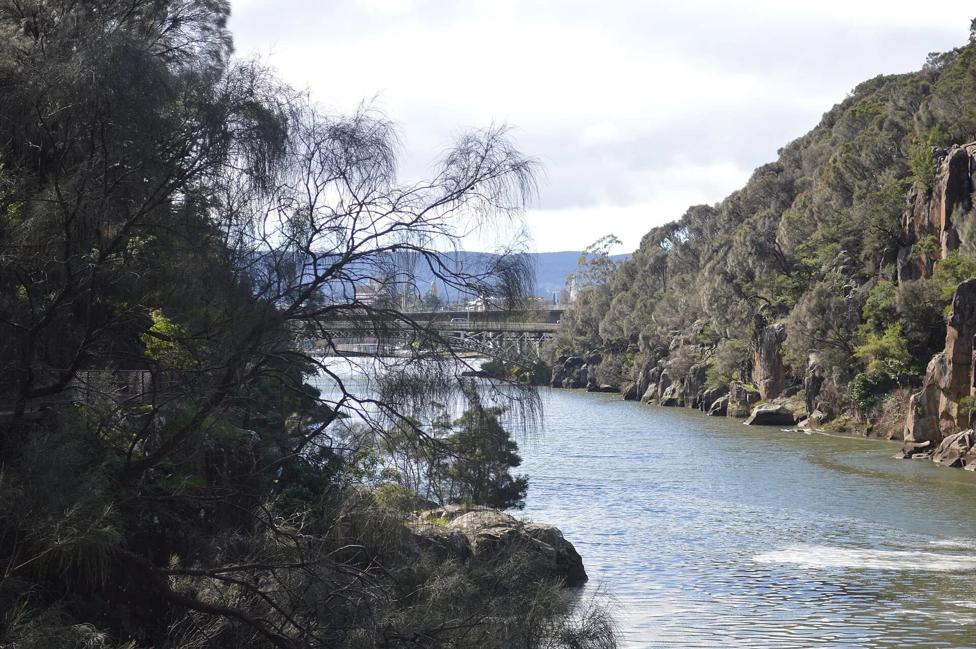 Image credit: Mattinbgn ( talk · contribs ), CC BY 3.0, via Wikimedia CommonsFood and drink · Launceston & North East
Food and Drink in Launceston
Plan where and how to eat in Launceston through markets, independent dining, Tamar Valley wine and seasonal northern Tasmanian produce.
Read the guide →Image credit: Robert Pitkin, CC BY-SA 2.0, via Wikimedia CommonsFood and drink · Launceston & North EastLaunceston Wine and Farm-Gate Guide
Plan a useful Launceston tasting day with current producer checks, realistic distances and a sober transport plan.
Read the guide →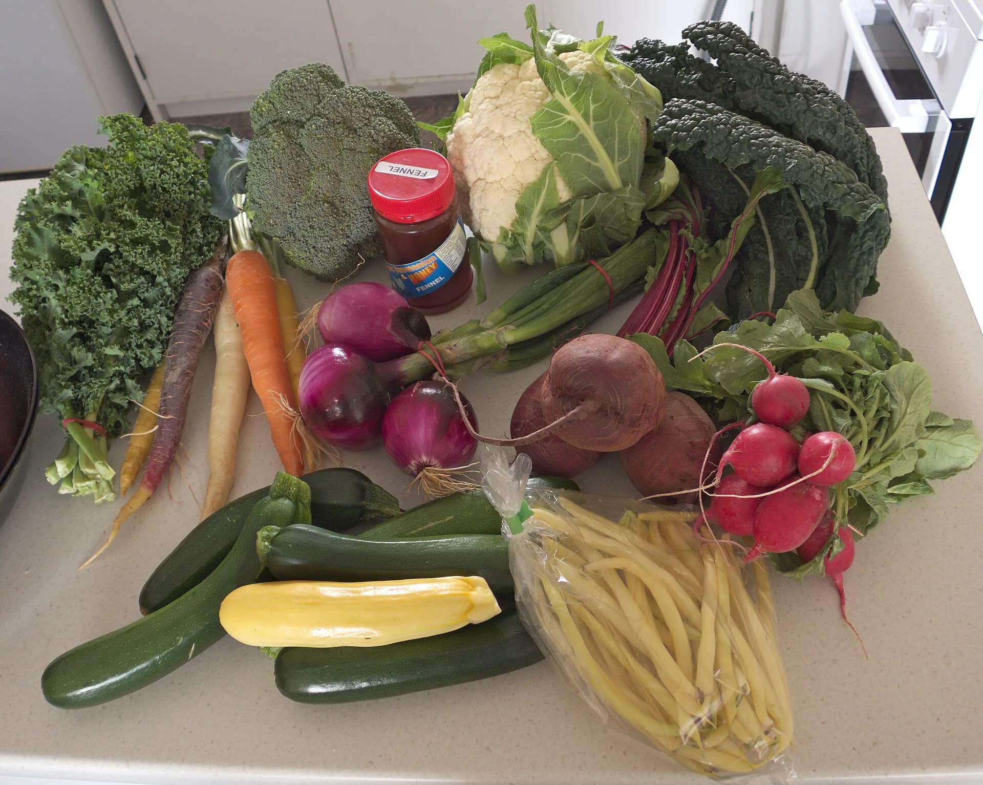 Image credit: Gary Houston, CC0, via Wikimedia CommonsFood and drink
Food and Drink in Burnie
Find food and drink in Burnie through its market, compact centre and regional producers without relying on a stale restaurant directory.
Read the guide →Image credit: gekko, CC BY-SA 3.0, via Wikimedia CommonsFood and drink · Launceston & North EastPipers River Wine Region
Plan a Pipers River cellar-door day using current producer listings, bookings and a safe driving plan rather than an outdated fixed itinerary.
Read the guide →Image credit: Gary Houston, CC0, via Wikimedia CommonsFood and drinkMarkets in North West Tasmania
Find current North West market information through council calendars and confirm dates before travelling.
Read the guide →Image credit: Gary Houston, CC0, via Wikimedia CommonsGuideTasmanian Markets
Plan visits to Tasmanian farmers, makers and community markets with current schedule and producer checks.
Read the guide →Image credit: Forfuxake ( talk ). Original uploader was Forfuxake at English Wikipedia, CC0, Wikimedia CommonsFood and drinkBurnie — fast food & quick-eat options (inferred)
A practical guide to grab-and-go food and short sit-down options in Burnie, focused on the CBD and foreshore. Covers market stalls, breweries and distilleries with hospitality, delivery apps that serve the town, foreshore conditions, accessibility features at key sites and simple checks to make a quick meal straightforward while visiting Burnie.
Read the guide →07
Wildlife
Wildlife places and practical guides for watching animals responsibly.
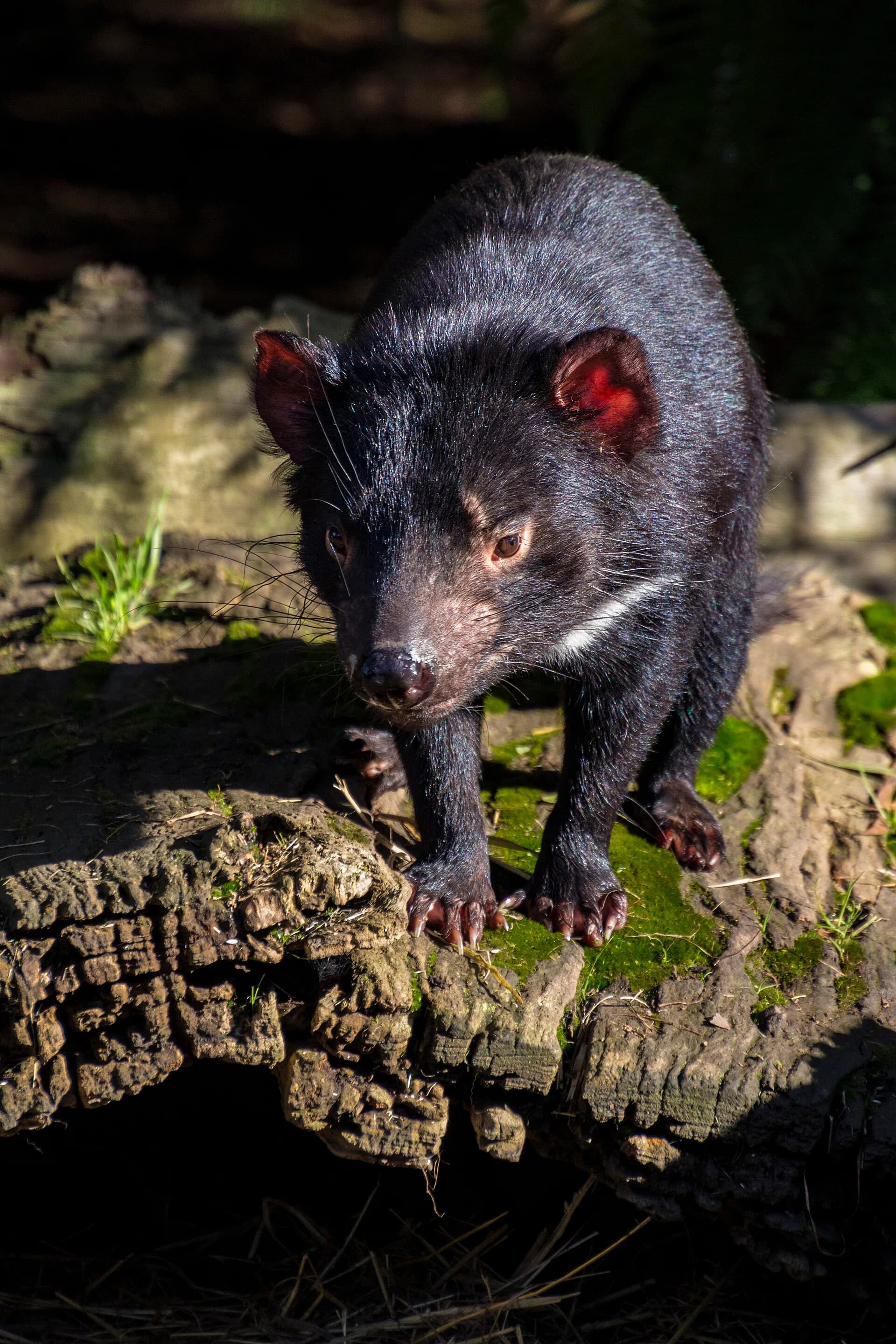 Image credit: Steven Penton from Bakers Beach, Tasmania Australia, CC BY 2.0, via Wikimedia CommonsGuide
Tasmanian Wildlife
Learn where and how to watch Tasmania’s mammals, birds and freshwater wildlife while reducing disturbance and road risk.
Read the guide →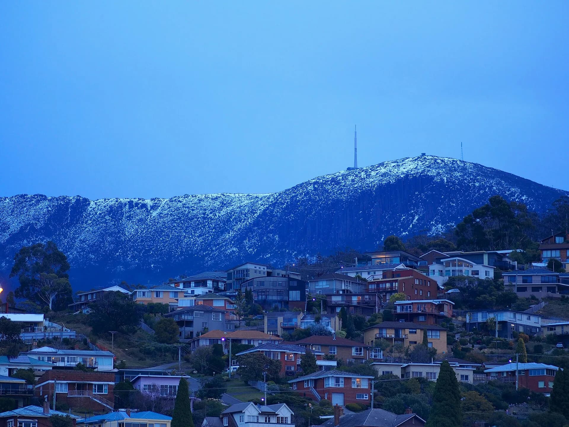 Image credit: Paris Buttfield-Addison, CC BY 2.0, via Wikimedia CommonsGuide
Wildlife Around Hobart
Watch wildlife around Hobart in bush reserves, waterways and coastal habitat without feeding, crowding or risky night driving.
Read the guide →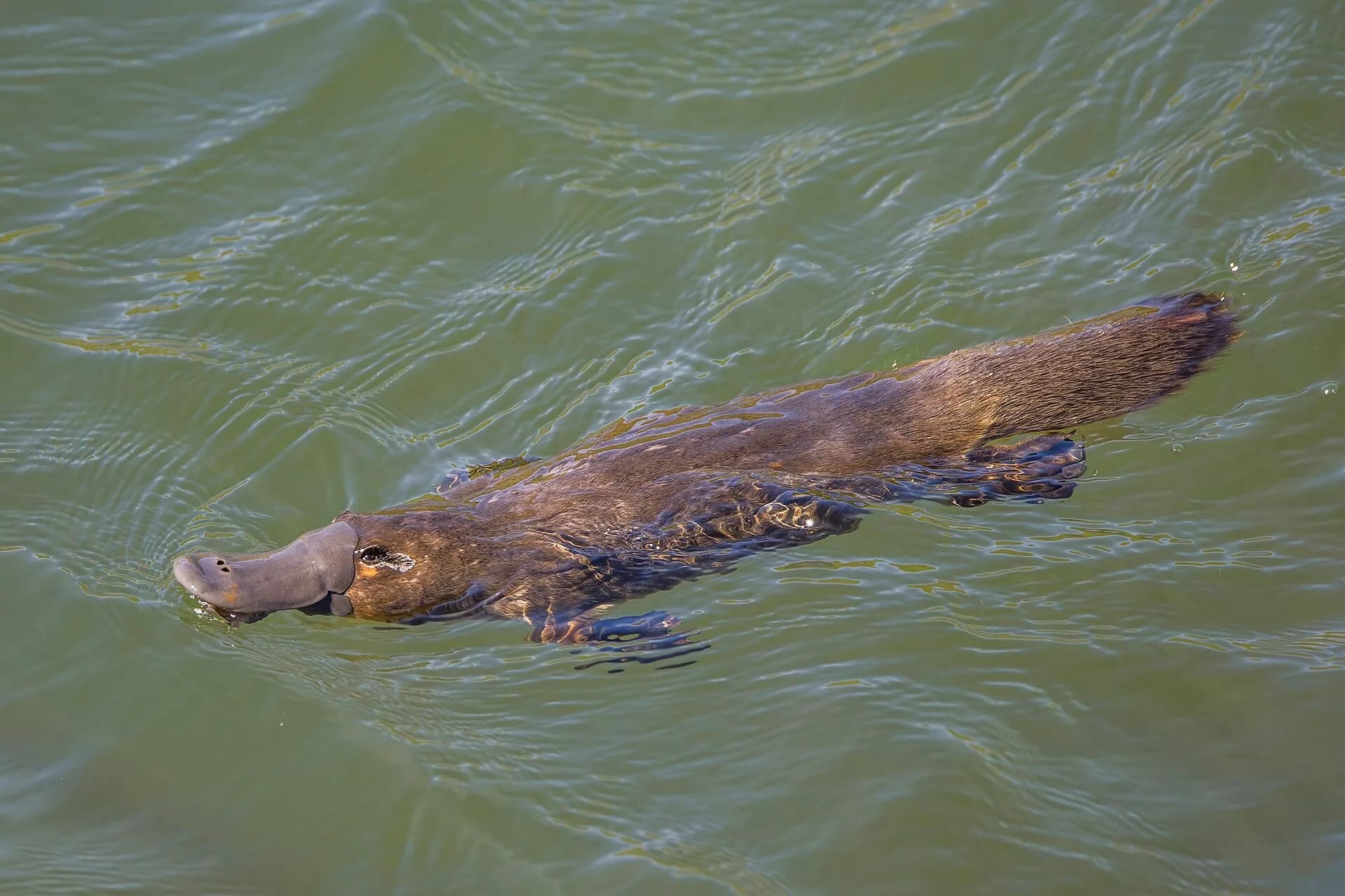 Image credit: Charles J. Sharp, CC BY-SA 4.0, via Wikimedia CommonsTravel guide · Launceston & North East
Wildlife Experiences near Launceston
Choose northern Tasmania wildlife experiences by animal welfare, conservation purpose and current access rather than guaranteed sightings.
Read the guide →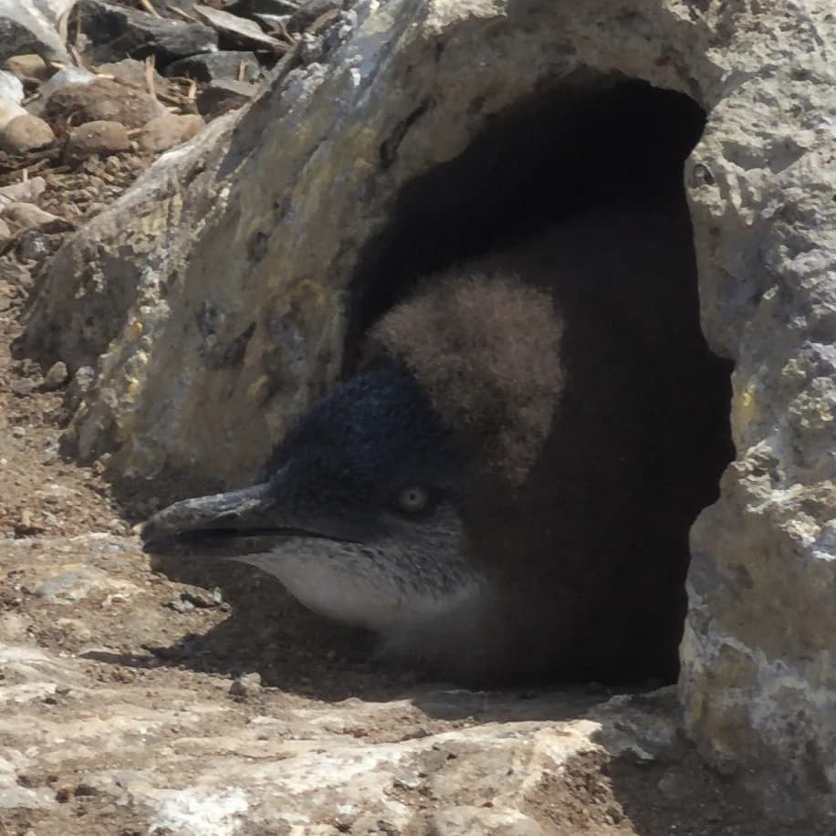 Image credit: Gary Houston, CC0, via Wikimedia CommonsTravel guide · North West & West
Little Penguins in North-West Tasmania
See little penguins through managed viewing and low-impact behaviour that protects birds, burrows and coastal residents.
Read the guide →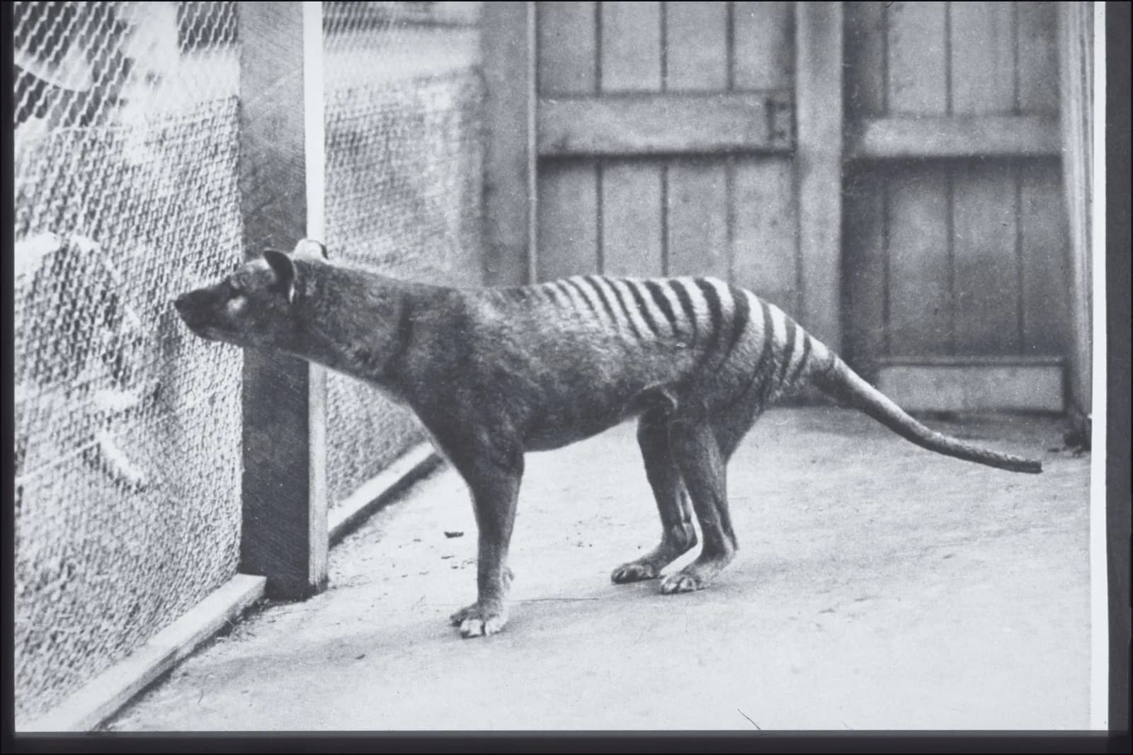 Image credit: Harry Burrell, Public domain, via Wikimedia CommonsHistory
Extinct Tasmanian species
The documented extinction of the thylacine, Tasmanian emu and smooth handfish, and what museum specimens and official listings can still tell us.
Read the guide →Image credit: JJ Harrison ( https://www.jjharrison.com.au/ ), CC BY-SA 3.0, Wikimedia CommonsAttractionBonorong Wildlife Sanctuary
Practical visitor guide to Bonorong Wildlife Sanctuary near Hobart. Includes address and transport options, opening hours, ticketing and tours, animals on site, facilities and food, rescue contacts, accessibility notes and travel checks to plan a responsible visit.
Read the guide →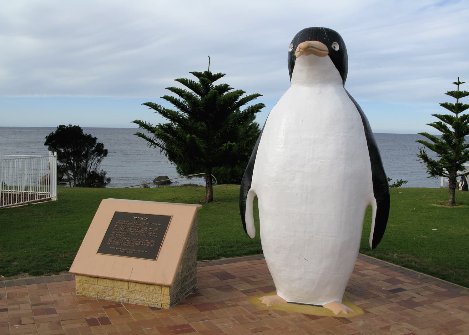 Image credit: Stuart Edwards, Public domain, Wikimedia CommonsFood and drink
Penguin (town) — cafes & places to eat
Penguin on Tasmania’s Central Coast offers a small-village café scene focused on relaxed meals, local produce and seaside atmosphere. For current opening hours, menus, events and accessibility details contact the Penguin Visitor Information Centre or use the Central Coast tourism listings. Nearby natural attractions shape when and where people eat, and council services can change around peak.
Read the guide →![Zoomable full resolution image available at davidrumsey.com . This image 14352.097 is a part of image group 14352.000 . Outer covers to Voyage de découvertes aux Terres Australes : Navigation et géographie. Contemporary boards with original pink papered edges and spine, with original paper spine label, which includes abbreviated title. Title translates to: Voyage to the Southern Territories : Navigation. Outer covers protect volume, which is bound in marbled wrappers. Volume, tucked within outer covers, is housed in a contemporary slip cover, with opening decorated in original pink papers. The rare complete official narrative and hydrography of the great French voyage of the Napoleonic period, the Baudin-Freycinet Expedition. The voyage has been characterized as the last great Enlightenment voyage, and was perhaps its purest expression, combining as it did scientific curiosity and research, territorial and geopolitical ambition, and the spirit of inquiry on the widest scale. As the first full atlas of the Australian coastline, its cartographical contribution is of extraordinary value, with a navigational section charting the coast. It is among the finest items of Australiana ever published, recounting an outstanding exploration. The six volumes were published separately over a period of ten years, commencing in 1816. In this complete form, the journals are exceedingly rare. The expedition was ordered by the French government in order to complete the cartographic survey of the Australian coast, covering the area not examined by Cook. Commanded by Nicolas Baudin, the crew was composed of twenty-two scientists, ranging from hydrographers, geographers and astronomers to zoologists, botanists and 'artiste-peintres’. The expedition left France in 1800 and sailed via Mauritius to the Western Australian coast in the region of Cape Leeuwin, arriving in May 1801. Peron sailed as naturalist on the expedition and Freycinet as cartographer. The vessels, Geographe and Naturaliste, sailed north from Cape Leeuwin, charting the mouth of the Swan River, the site of present day Perth. After three months in Timor, the two ships set out for Tasmania, continuing to make surveys and a close study of the indigenous Tasmanian people and their material culture. The expedition continued on to New South Wales, creating a fine panorama of the town of Sydney, as well as views and a town plan. They then undertook a complete survey of the southern coast and an examination of the northern coast before returning to Mauritius where, near the end of 1803, Baudin died. The voyage brought back to France a wealth of geographical information. The cartography of the voyage was of crucial interest. The French exploration coincided with the the English circumnavigation of Mathew Flinders. The two expeditions famously met up at the consequently named Encounter Bay in South Australia. With Flinders' subsequent imprisonment by the French, his captors were first into print with their mapping of Australia, the great Hydrographical Atlas appearing in 1812, two years before the publication of Flinders' narrative and charts, and thus the first full Australian atlas, a remarkable achievement for visitors rather than settlers. (See Flinders atlas in the collection under Pub List No. 10745.000.) The expedition narration was begun by Peron, and completed by Freycinet after Peron's death. A tacit agreement between Peron and Freycinet, both of whom disliked Baudin, kept the commander's name mostly absent from the present official account of the expedition. The narrative includes the first publication of a complete and fully detailed map of the Australian coastline. It is a cartographic milestone, artfully done, exemplifying the French artistry of the time. The southern coast is almost entirely named "Terre Napolean," indicating France's colonial ambitions. Highlights of the numerous plates and maps (many hand-colored) include an engraved portrait of Peron, done within days of his death; coastlines of Tasmania, South Australia, Western Australia and Queensland, as well as two folding panoramic views of Sydney and Timor. Also included are nautical charts, coastal profiles, views and plans of Sydney, as well as detailed charts of harbors and islands around Australia, Tasmania and Timor. Complete set comprised of two volumes of historical text, two volumes of plates, including portraits and views, one volume of navigation text describing the voyage, and one atlas (see further details below). Together, the six volumes contain 87 plates, comprised of 61 maps, 39 views, 13 portraits and 13 illustrations. Maps shows cities, routes, ports, topography, vegetation, drainage, coastline, shoals, anchorage and islands. Maps include latitudinal and longitudinal lines, as well as legends, bar scales, compass roses and explanatory notes. Engravings, some hand-colored. In addition to the maps, views offer further detail of specific locations, such as the tombs on Maria Island, in the Tasman Sea. Details include flora and fauna, as well as indigenous people, along with their shelters. Ethnographic portraits beautifully capture indigenous individuals of Tasmanian and New South Wales, replete with their names, dress and ornamentation. Illustrations provide close studies of indigenous accoutrements, including baskets, vases, jewelry, weapons and fishing gear. Additional illustrations show animals of the continent, such as kangaroos, platypus and wombats. Most volumes in the original pink papered boards, with gilded titles, and with some pages still uncut. Collations: Vol 1 of Historique : Paris, de l'Imprimerie Imperiale, 1807. 4to, pp [4], (i)-xv, (blank) (3), 4-496, 2pp errata. -- Vol 2 of Historique : Paris, a l'Imprimerie Royale, 1816. 4to, pp [4], frontispiece portrait, v-xxxi; (blank); (1)-471pp. -- Atlas par Mm. Lesueur et Petit : Paris. Small folio, pp [6] text; original tissue guards; with 40 leaves of plates (2 folding). -- Atlas Deuxième Partie, Rédigée par Mr. L. Freycinet : Paris, 1811. Small folio, pp [6] text; with 14 leaves of plates, (2 folding). -- Navigation et Géographie Rédigée par M. Louis Freycinet : Paris, De l'Imprimerie Royale, 1815. 4to, pp [4]; v-vxi; (1)-576, 2pp errata, the last pages of text unopened, uncut. -- Partie Navigation et Géographie Rédigée par Louis Freycinet : Atlas. Paris, 1812. Imperial folio, pp [4]; with 32 leaves of plates (25 double-page). Original red diced calf, gilt decorated spine, original red papered boards with gilt border decoration. References: Ferguson 449, 563 & 603; Wantrup 78a, 79a , 80a & 81; Hill p. 1329 (Narrative volumes only); Davidson, Book Collector's Notes, pp. 108-110; Sharp, Discovery of Australia, pp.232-39; Dunmore, French Explorers in the Pacific II, pp.9-40; Plomley, The Baudin Expedition and the Tasmanian Aborigines 1802. (Full text images of all pages can be seen at the Biodiversity Heritage Library; link in Pub Reference.) For complete scans of all text pages see https://www.biodiversitylibrary.org References: Ferguson 449, 563 & 603; Wantrup 78a, 79a , 80a & 81; Hill p. 1329 (Narrative volumes only); Davidson, Book Collector's Notes, pp. 108-110; Sharp, Discovery of Australia, pp.232-39; Dunmore, French Explorers in the Pacific II, pp.9-40; Plomley, The Baudin Expedition and the Tasmanian Aborigines 1802. (Full text images of all pages can be seen at the Biodiversity Heritage Library; link in Pub Reference.) Subjects:](/_next/image?url=https%3A%2F%2Fjkwhtxmcyktrxqjgjvgf.supabase.co%2Fstorage%2Fv1%2Fobject%2Fpublic%2Fmedia%2Fnewsroom%2F2026%2F05506c8a-ac04-4c50-8894-d4aa8eea9e5c-platypus-house.jpg&w=3840&q=75) Image credit: Péron, François, 1775-1810 J. J. Marcel, Public domain, Wikimedia CommonsAttraction
Image credit: Péron, François, 1775-1810 J. J. Marcel, Public domain, Wikimedia CommonsAttractionPlatypus House
Platypus House in the Tamar Valley is a covered discovery centre where visitors can view live Tasmanian platypuses and echidnas in daylight. The operator emphasises that bookings are essential, offers guided tours and a takeaway café overlooking the Tamar River, and provides maps and local directions for access. Check current tour times, availability and any accessibility needs with the venue.
Read the guide →08
National parks and reserves
Protected landscapes, access information and ways to explore them.
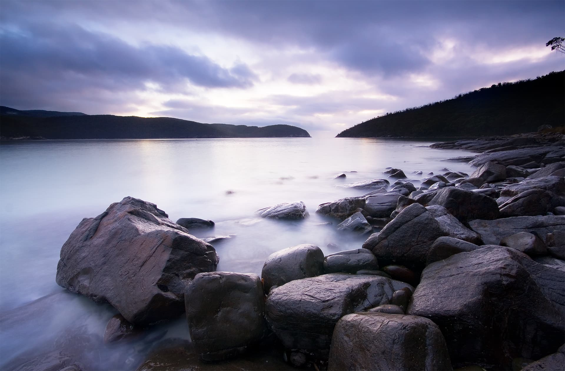 Image credit: JJ Harrison ( https://www.jjharrison.com.au/ ), CC BY-SA 3.0, Wikimedia CommonsOutdoors · Hobart & South
Tasman National Park
Practical guide to Tasman National Park that explains where the park is split, primary access points, key short walks and day walks such as Cape Hauy and Cape Raoul, camping at Fortescue Bay, and what to check before you go. Includes safety checks for cliffs, windy conditions and fire alerts, plus suitability notes for grades and vehicle access.
Read the guide →Image credit: JJ Harrison ( https://www.jjharrison.com.au/ ), CC BY-SA 3.0, via Wikimedia CommonsWalk · Central TasmaniaWalls of Jerusalem National Park
Prepare for the Walls of Jerusalem as a self-sufficient alpine journey with foot-only access and formal camping.
Read the guide →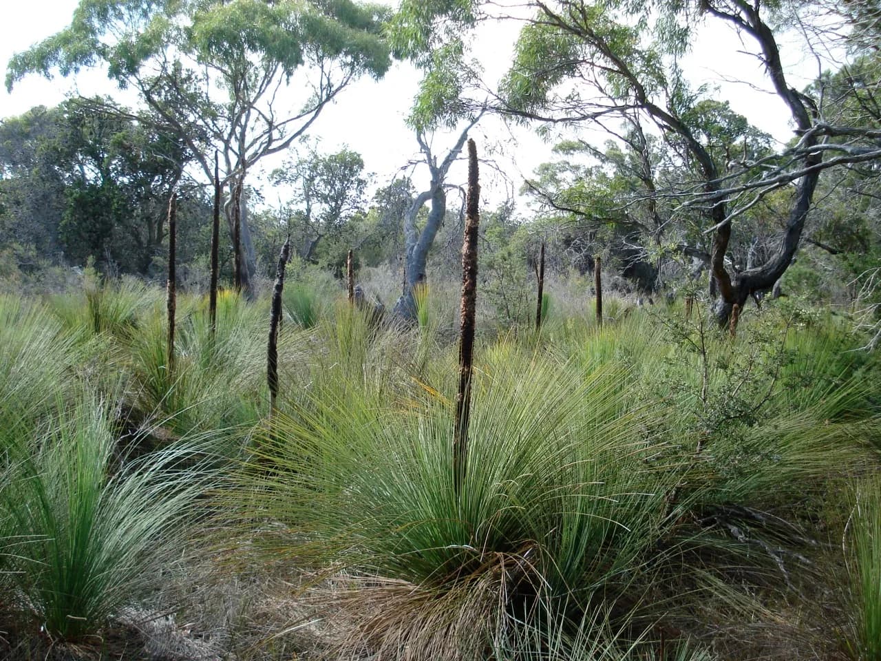 Image credit: Srikumar Venugopal, CC BY-SA 2.0, via Wikimedia CommonsAttraction · Launceston & North East
Mount William National Park
Plan the unsealed-road journey, short walks and low-key camping in Mount William National Park with realistic water, fire and wildlife advice.
Read the guide →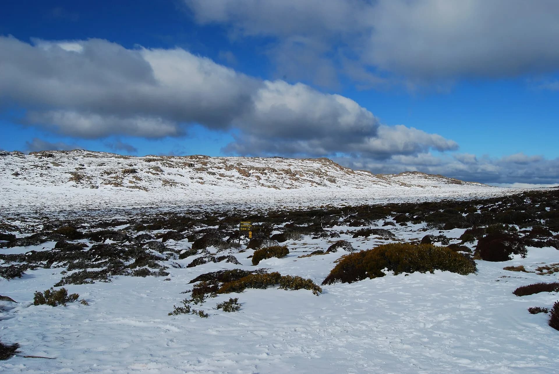 Image credit: Peripitus, CC BY-SA 3.0, via Wikimedia CommonsPlace · Launceston & North East
Ben Lomond National Park
Plan Ben Lomond around current road conditions, mandatory winter chains and genuine alpine weather.
Read the guide →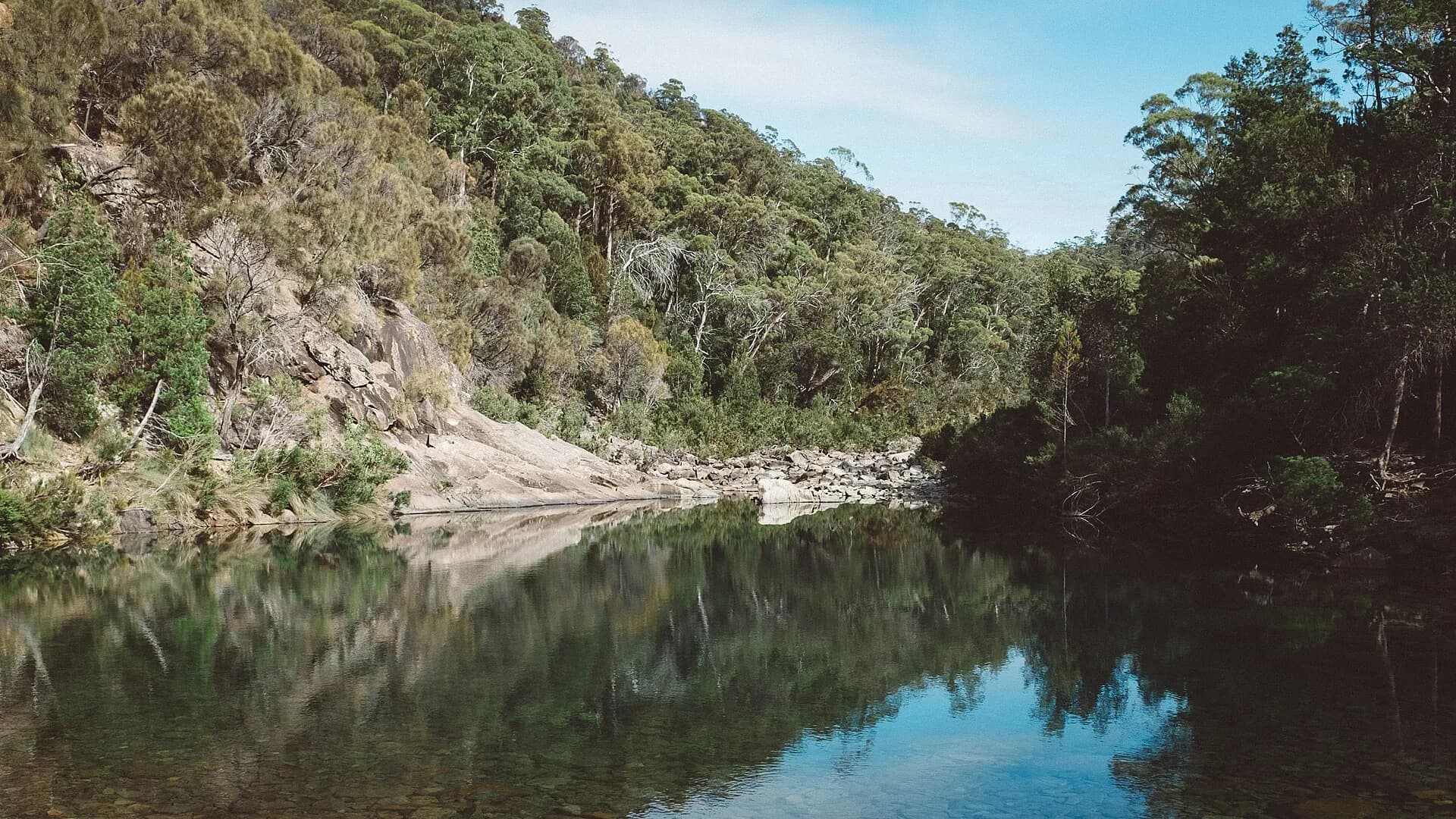 Image credit: VirtualWolf from Sydney, Australia, CC BY-SA 2.0, via Wikimedia CommonsWalk · East Coast
Douglas-Apsley National Park
Choose between the short Apsley Waterhole approach, the gorge circuit and the remote Leeaberra Track, with current river and access advice.
Read the guide →Image credit: Ralph Bottrill, CC BY 3.0, Wikimedia CommonsWalk · Launceston & North EastBlue Tier Regional Reserve
Blue Tier Regional Reserve in north‑east Tasmania offers short accessible rainforest circuits, steep summit climbs and longer one‑way heritage walks. Match track grade to fitness and experience, follow vehicle and track rules, prepare for rapid weather change and note that camping is not permitted anywhere in the reserve.
Read the guide →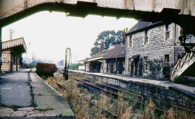 Image credit: Tudor Williams, CC BY-SA 2.0, Wikimedia CommonsWalk · Launceston & North East
Evercreech Regional Reserve
Evercreech Regional Reserve protects tall forest at the headwaters of the South Esk River. The famous White Knights loop is closed until further notice because of storm damage. The Falls walk, picnic facilities and basic amenities remain available. Access is via unsealed roads from Fingal or Ringarooma, so check park alerts, weather and road conditions before you visit.
Read the guide →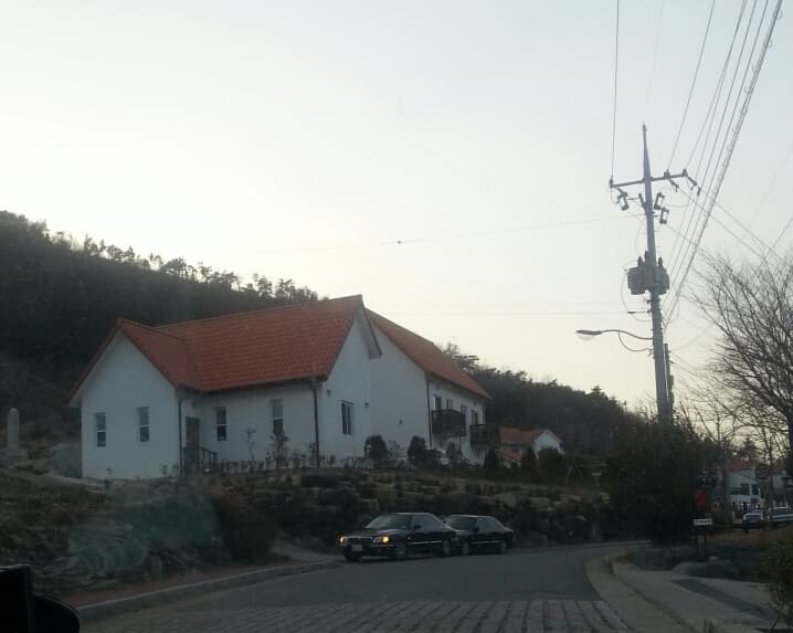 Image credit: Roadgo, CC BY-SA 3.0, Wikimedia CommonsOutdoors · East Coast
German Town Regional Reserve
Practical reference for German Town Regional Reserve on Tasmania's east coast. Explains the regional reserve classification, relevant legislative context, what the supplied evidence confirms and what it does not, and the specific checks to make before attempting a visit.
Read the guide →09
Waterfalls and waterways
Waterfalls, rivers, lakes and gorges across the island.
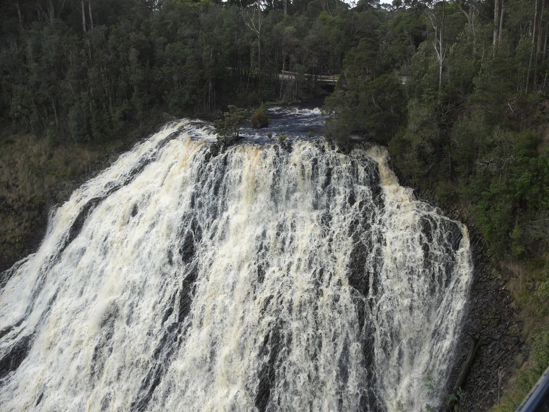 Image credit: Gary Houston, CC0, via Wikimedia CommonsOutdoors
Waterfalls of North-West Tasmania
Choose north-west Tasmania waterfalls by access, walking grade and current conditions instead of treating them as interchangeable photo stops.
Read the guide →Image credit: Nick Pitsas, CSIRO, CC BY 3.0, via Wikimedia CommonsGuideRivers of Tasmania
Understand Tasmania’s major river systems through catchments, environmental flow, hydro-electric change and safe public access.
Read the guide → Image credit: Buddpaul, CC BY-SA 3.0, Wikimedia CommonsRoad trip · Central Tasmania
Highland Lakes Road
Highland Lakes Road (A5) crosses Tasmania's Central Highlands from the southern Midlands through Bothwell and Miena to the yingina / Great Lake, then drops north toward Deloraine. The route runs along exposed high country and through isolated sections where services are sparse. Plan fuel, clothing and timing, observe lake and fisheries rules, and check road, weather and reserve conditions before.
Read the guide →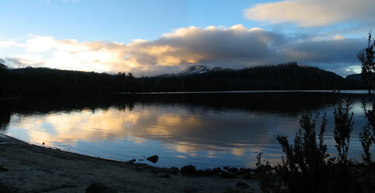 Image credit: Jörn Brauns, Public domain, via Wikimedia CommonsAttraction · Tasmania
The Lakes of Tasmania
A practical guide to visiting Tasmania’s lakes, by origin and management. Notes the differences between glacial tarns, highland basins and hydro storages, and lists the checks and safety considerations travellers should make before swimming, paddling, fishing or driving into remote lake country.
Read the guide →Image credit: Diego Delso, CC BY-SA 3.0, Wikimedia CommonsWalk · Launceston & North EastCataract Gorge, Launceston
Cataract Gorge Reserve sits on the South Esk River just west of Launceston CBD. Pick a route by surface and time: the sealed riverside Cataract Walk to First Basin is short and flat, while Duck Reach and upper trails are longer and rougher. First Basin supplies basic visitor services and seasonal pool supervision.
Read the guide →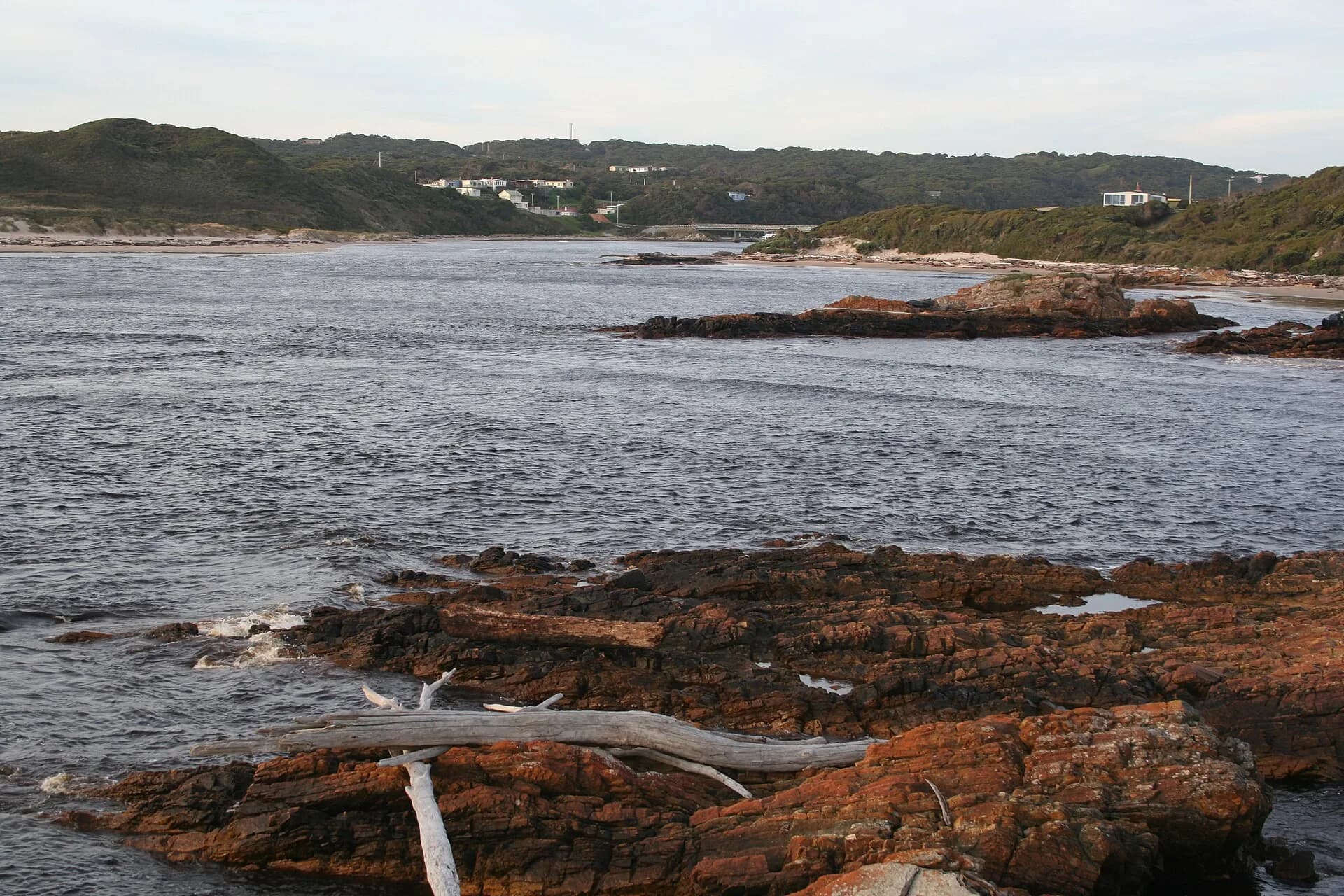 Image credit: Tirin, CC BY-SA 3.0, via Wikimedia CommonsPlace · North West & West
Arthur River, Tasmania
Plan Arthur River with supplies, weather, reserve access and respect for Aboriginal cultural landscapes.
Read the guide →Image credit: Gary Houston, CC0, via Wikimedia CommonsPlace · North West & WestBlythe River, Tasmania
Understand the Blythe River through its estuary, gorge country, angling access, mining history and present catchment management.
Read the guide →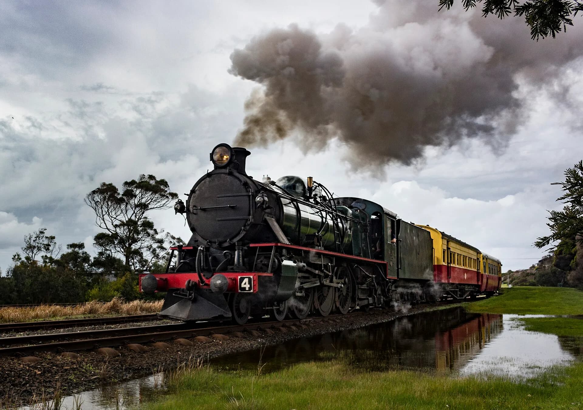 Image credit: Steven Penton, CC BY 2.0, via Wikimedia CommonsHistory
Bott Gorge and the Mersey Coalfield
Read Bott Gorge as a place in the history of north-west coal exploration, without treating an obscure former mine as a public attraction.
Read the guide →Browse more
Explore by region
Use a regional collection when you want to combine several activities without spending the day crossing the island.