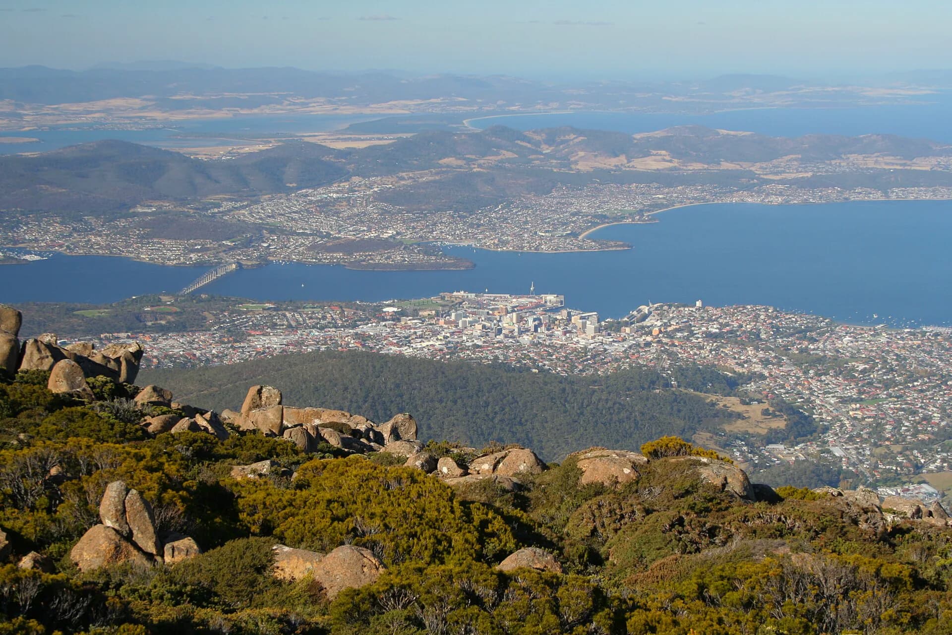

Tasmania’s rivers begin in wet western ranges, highland lakes, drier eastern catchments and short coastal valleys. A river guide is most useful when it follows whole catchments, including tributaries, wetlands and estuaries, rather than treating each named waterway as an isolated attraction.
Catchments connect mountain and coast
State water management uses 48 broad catchments. Rain, snow, geology, vegetation and land use determine how quickly water moves and what it carries. Flow varies naturally, then changes further through dams, irrigation, urban use and climate.
.jpg)
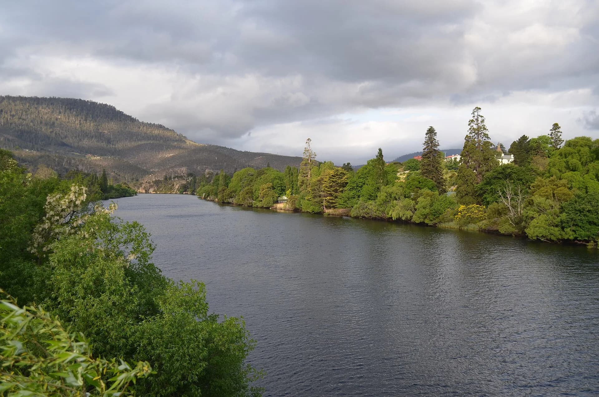
The Derwent system links highland storages with New Norfolk and Hobart’s estuary. The South Esk and North Esk meet at Launceston before flowing through kanamaluka / River Tamar, while the Mersey and Forth drain northern high country to Bass Strait.
Western rivers remain powerful and remote
The Franklin, Gordon, Pieman and Arthur flow through high-rainfall country. Roads cross only selected points, and high flow can alter walking, rafting and ferry operations quickly.

Estuaries are not fresh rivers
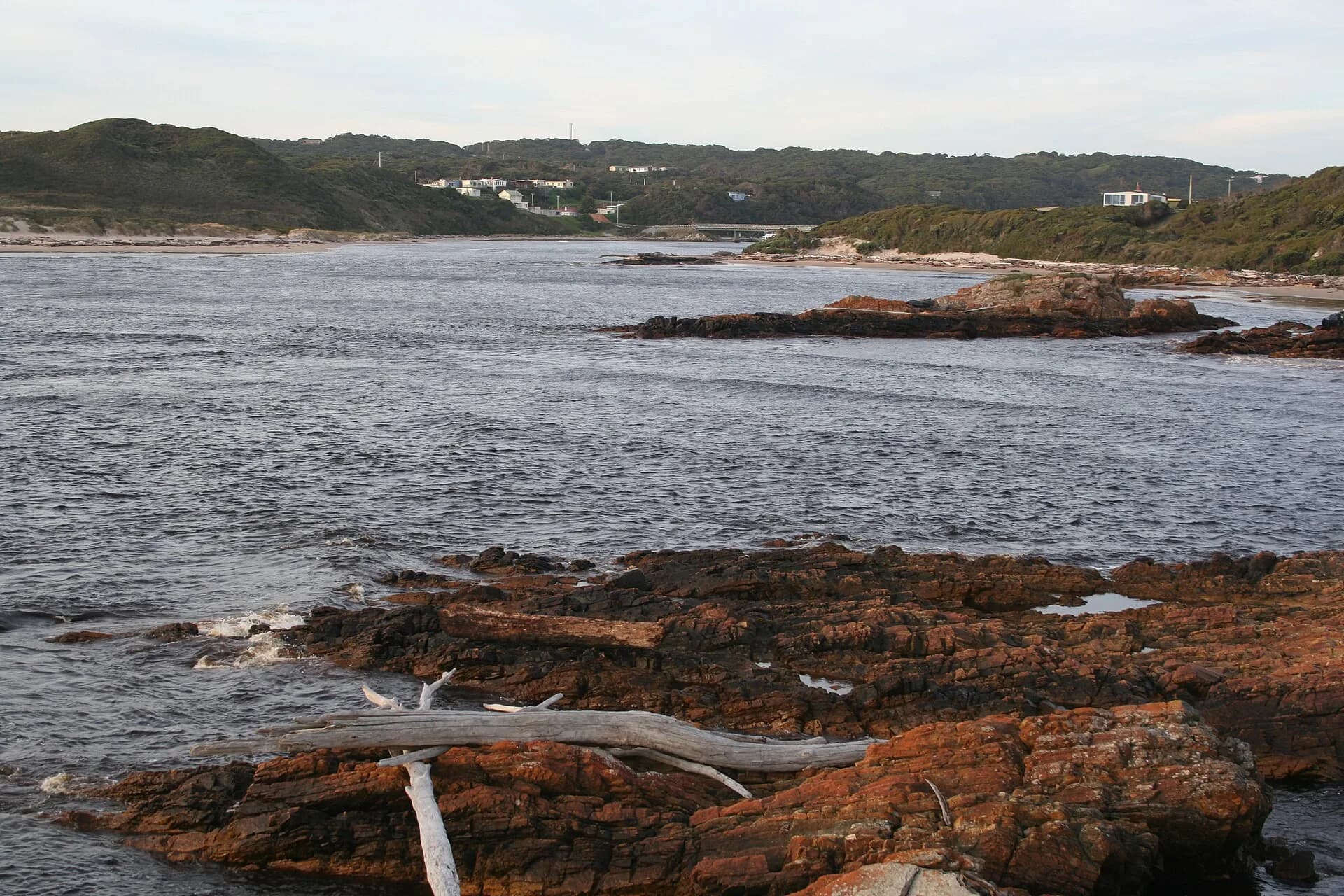
The lower Derwent, Huon and Tamar are tidal systems. Salinity, currents, stormwater and industrial history affect swimming, fishing and habitat. Check public-health and fishing advice for the precise waterway and activity.
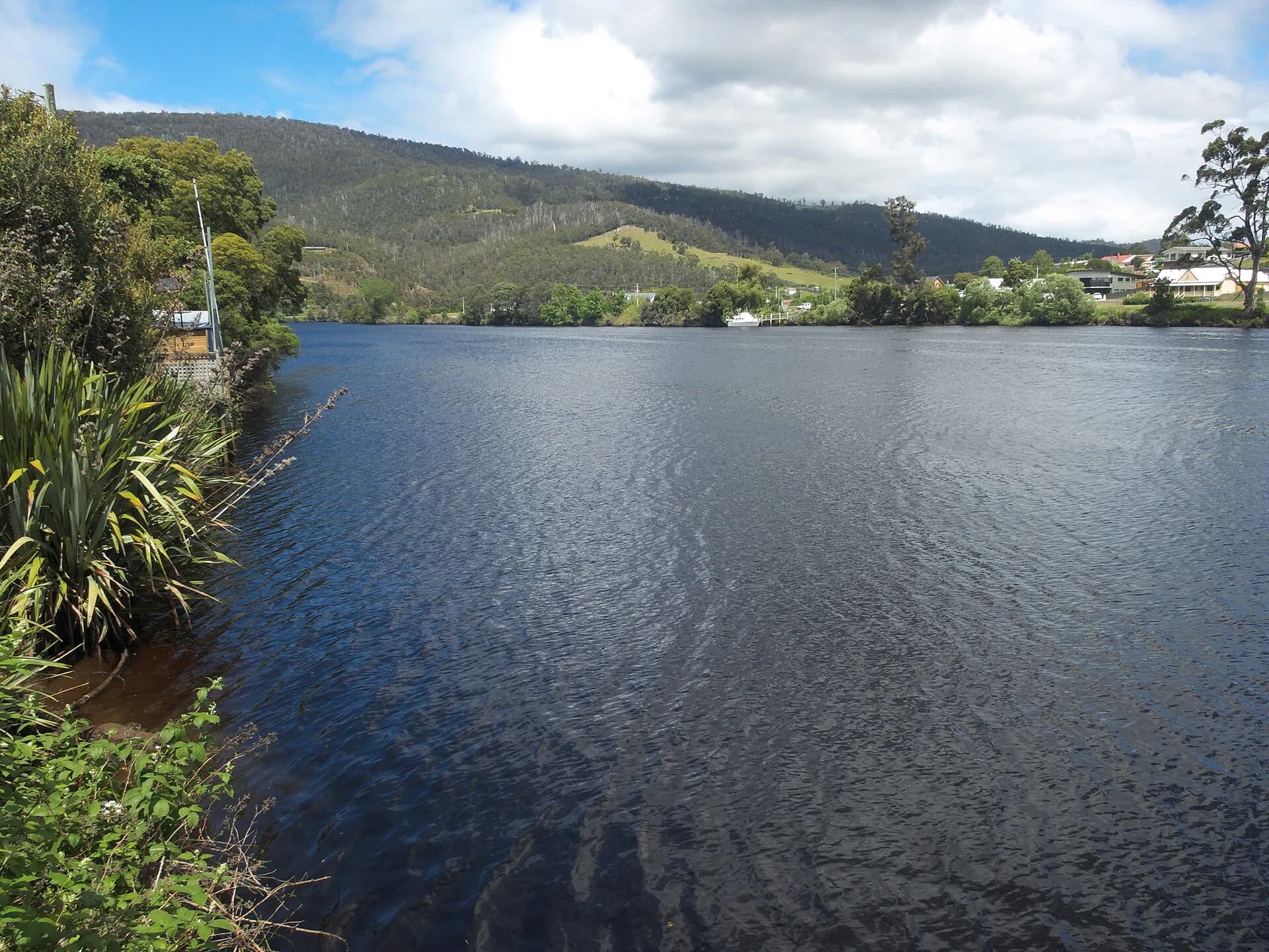

Explore the Derwent Valley, Huon Valley and Arthur River as lived river landscapes rather than scenic lines on a map.