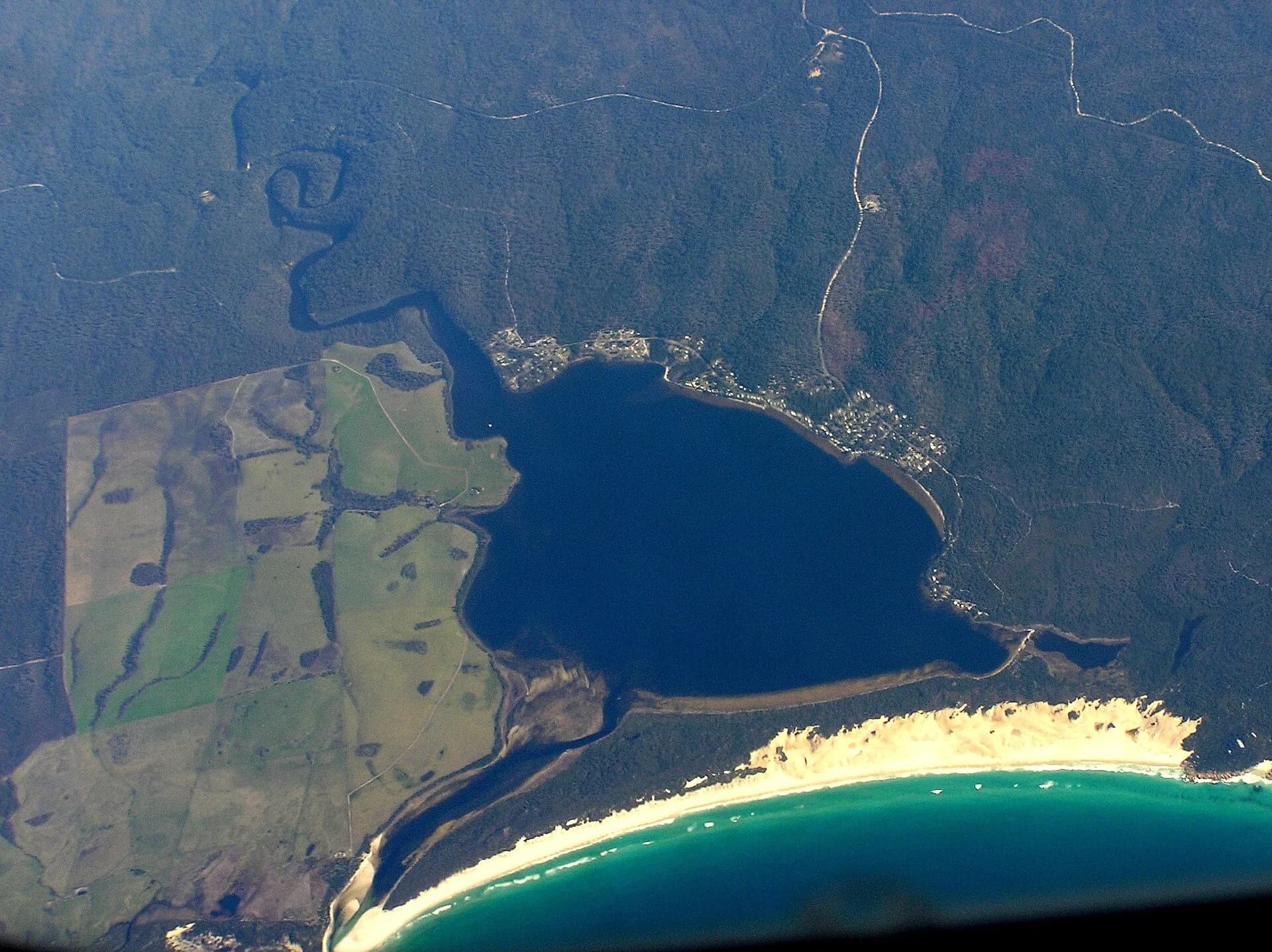

Ansons Bay is a small, dispersed settlement around a shallow inlet in Tasmania’s far north-east. It sits between the northern Bay of Fires coast and Mount William country, well beyond the region’s main service town at St Helens.
A bay community, not a resort town
Break O’Day Council’s township planning treats Ansons Bay as a residential community with local facilities and environmental constraints. There is a boat ramp, but few visitor services. Bring food, drinking water and fuel appropriate to the route, and check accommodation or camping arrangements before leaving St Helens or Scottsdale.

Roads and distances need respect
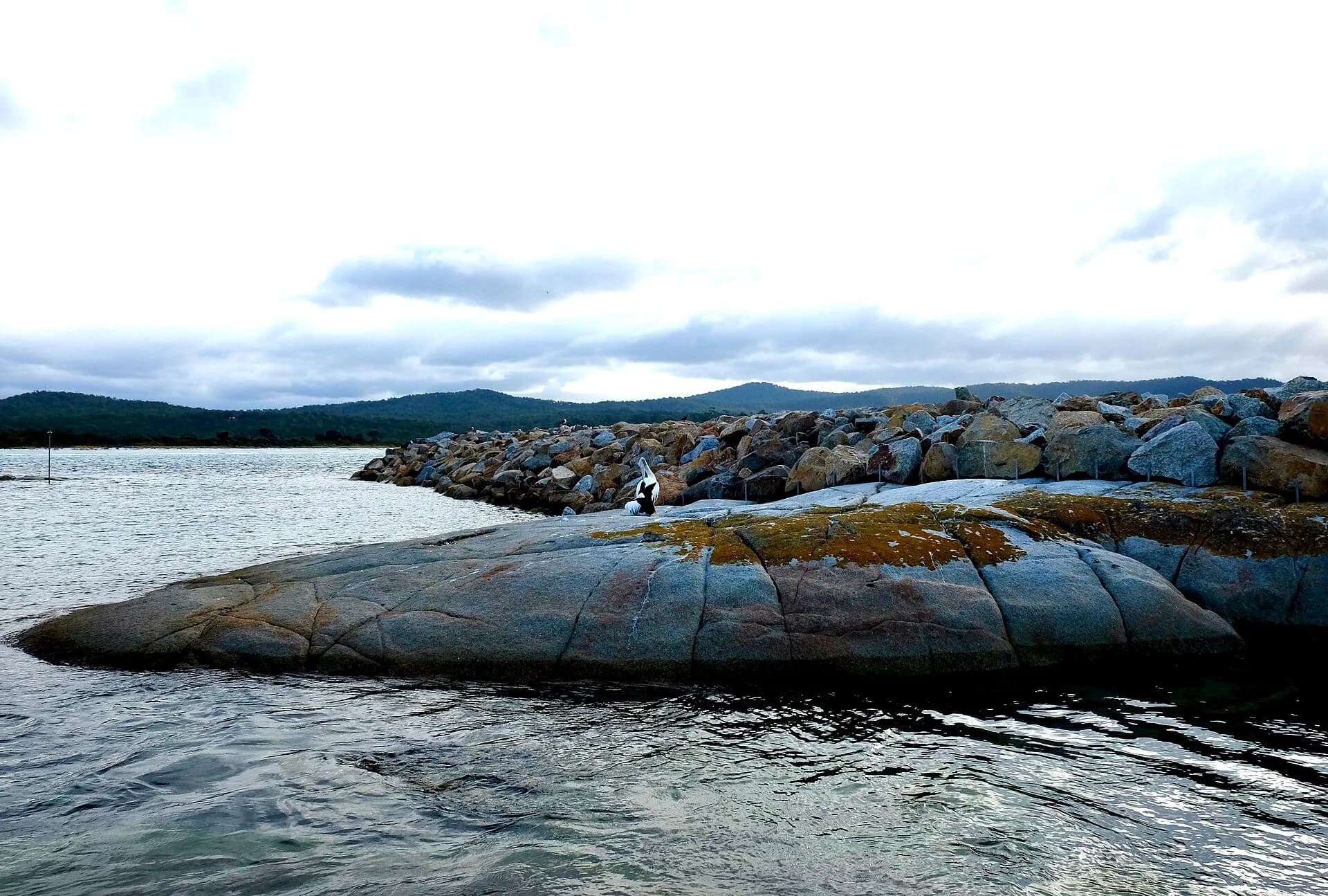
Ansons Bay Road connects the settlement with the East Coast route, while North Ansons Road links towards Gladstone. Conditions can include gravel, dust, corrugations, logging traffic and wildlife. Avoid driving at night and do not rely on mobile coverage for navigation.

Boating and conservation areas
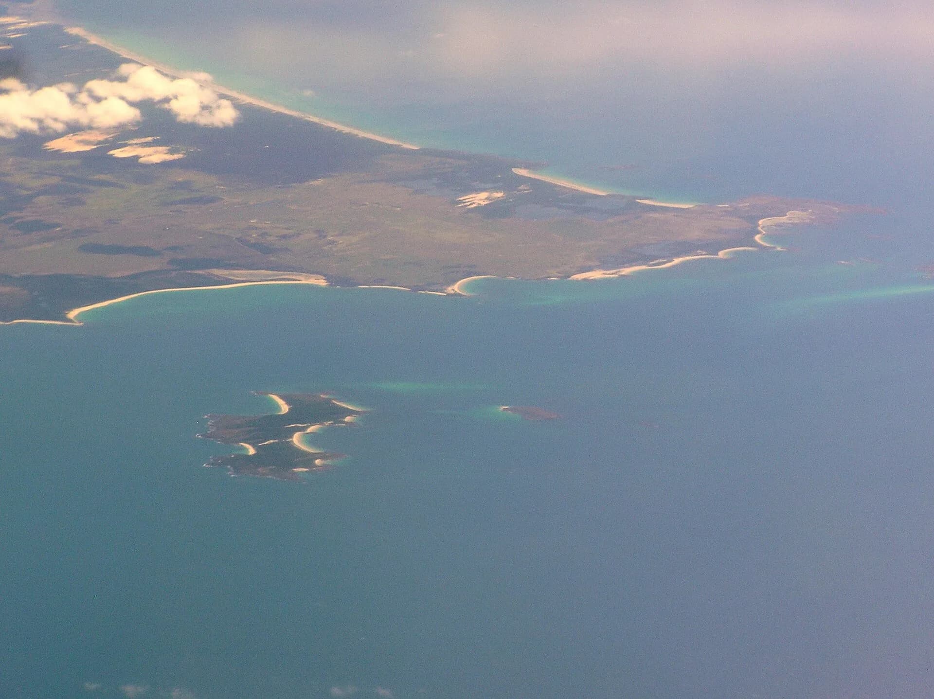
The protected bay can look calm while offshore weather is severe. Boat users need a current forecast, safety equipment and local knowledge of shallow water and bars. The surrounding Ansons Bay Conservation Area and nearby reserves protect coastal and wetland values. Stay on formed public access and leave Aboriginal cultural places undisturbed.
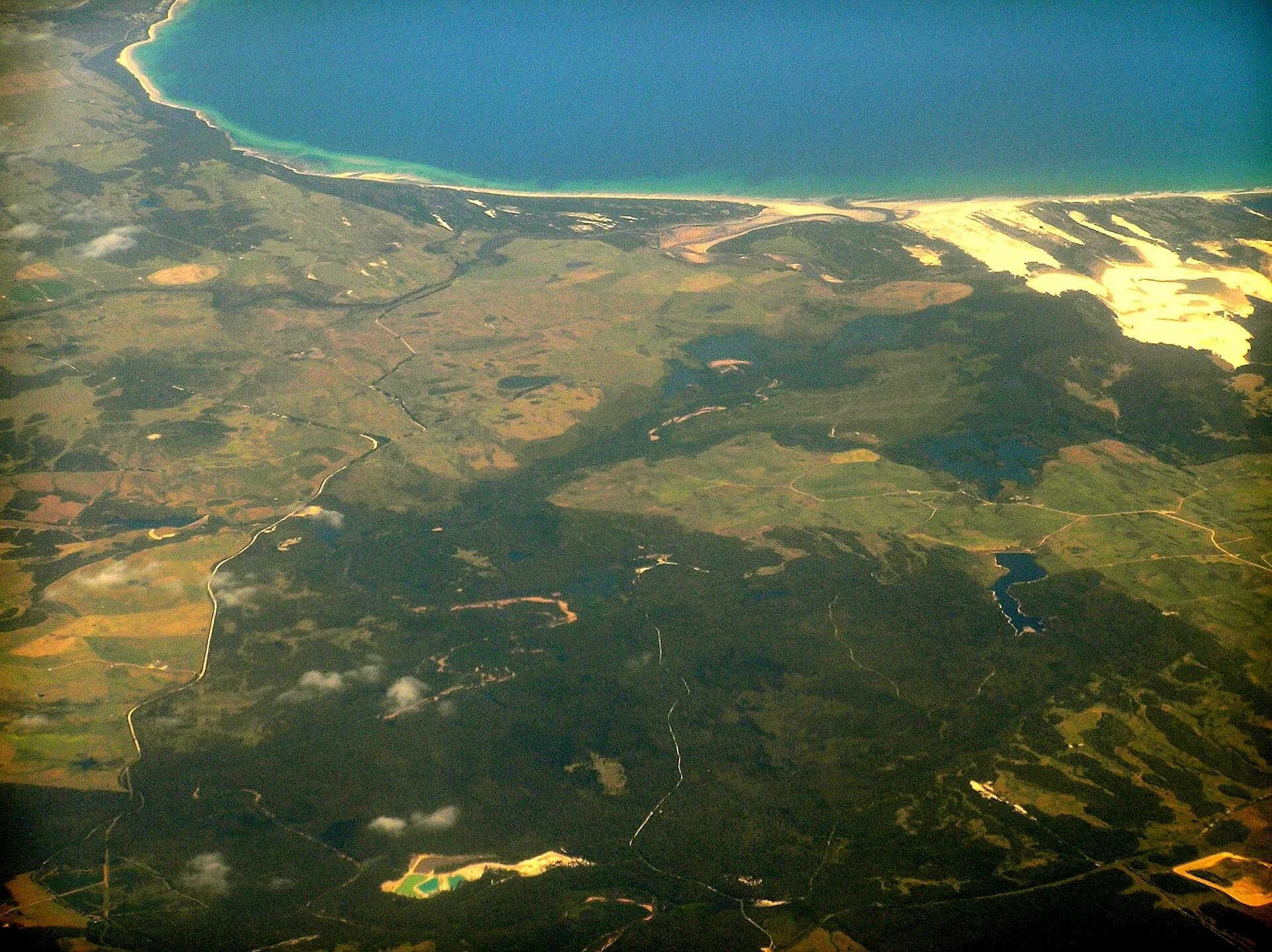

For a first visit, treat Ansons Bay as a dedicated outing rather than a quick extension of Binalong Bay. Check Break O’Day Council and Parks Tasmania information before travelling.