

Scottsdale is the main service town for Tasmania’s north-east. Around it, productive farms, forest country, former tin settlements and the coast create a region that needs more than a quick drive between Launceston and the east coast.
Scottsdale as a base
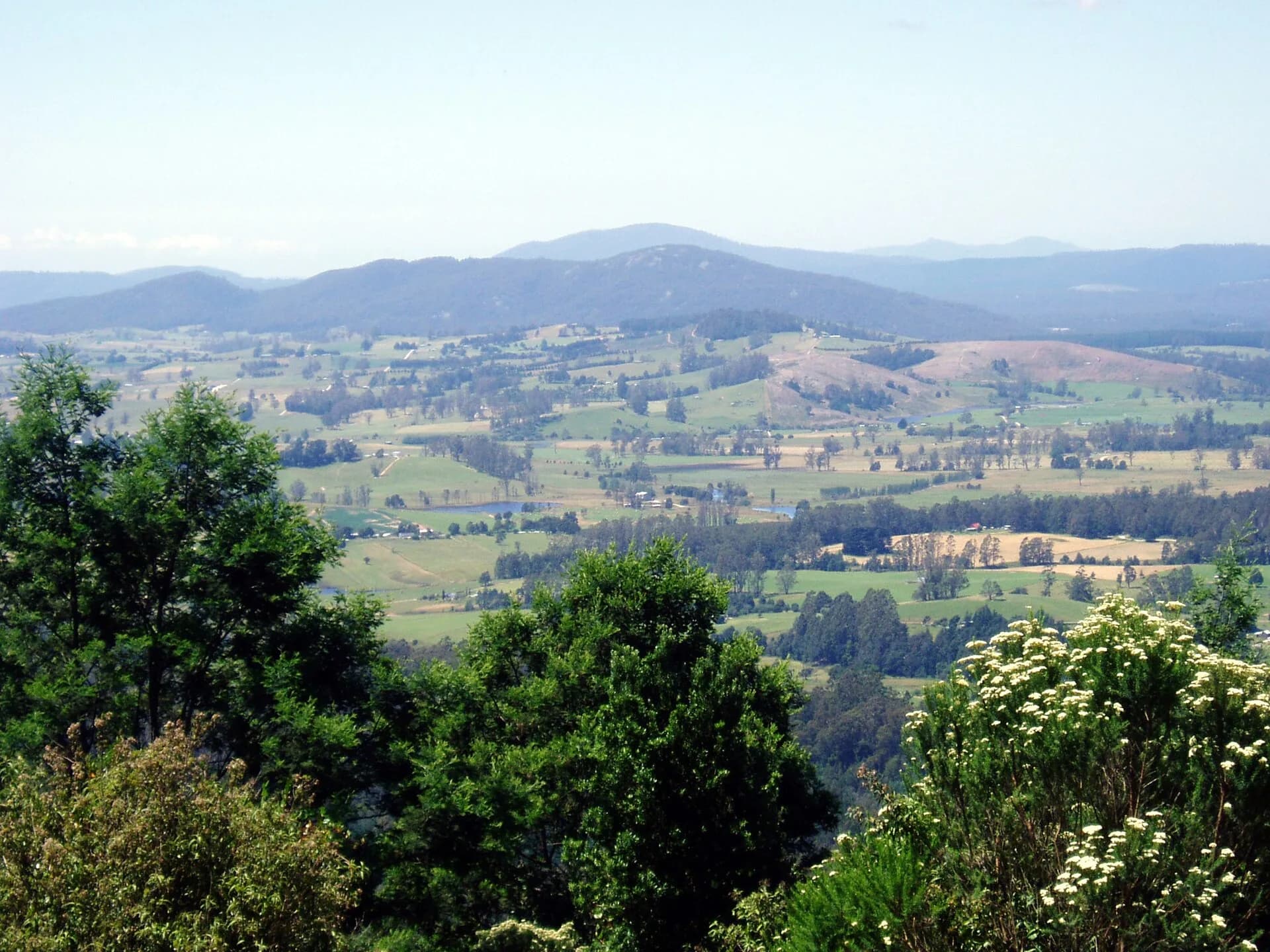
Scottsdale sits on a plateau surrounded by high-value agricultural land. Dorset Council identifies it as the municipality’s largest settlement and principal service centre. Shops, fuel, health services and community facilities make it a practical base before travelling into smaller towns.
The town was known as Ellesmere before being renamed Scottsdale in 1893. Its streets and public buildings reflect its role in a farming and forest district. The Mechanics’ Institute is a visible reminder of nineteenth-century civic and educational life.


West to Bridport and the coast
Bridport lies north-west of Scottsdale on Anderson Bay. Beaches, coastal reserves and views towards the Furneaux islands give this part of the region a different character from the inland plateau. Visitor demand can be seasonal, so accommodation and services are best checked in advance.
Back roads cross working farms. Drive to conditions, leave gates and private property undisturbed, and expect agricultural machinery on rural routes.
East through former tin country
Derby, Branxholm, Moorina and Weldborough developed through nineteenth-century tin mining. The history of north-east Tasmania explains the mining boom and Chinese Tasmanian communities in greater depth. Today, Derby is widely known for mountain biking, but mining remains legible in waterways, earthworks and collections.

Former mine sites can contain unstable ground, contaminated water and hidden workings. Use signed public sites and current local advice. The vivid colour of a mine pit is not evidence that its water is safe for swimming.
Rail and forest routes
The former railway connected Scottsdale and the north-east with Launceston. Parts of the corridor now support recreation proposals and trails, but access varies by section. Read the North East Railway guide before following remnants on the ground.
Forestry roads may be unsealed and affected by operations, weather or fire restrictions. Navigation apps do not always distinguish public through-roads from private or restricted tracks. Carry an offline map and choose established routes.
How long to allow
One day is enough for Scottsdale and either Bridport or Derby. Two or three days allow the coast, mining districts and a walk or ride without constant backtracking. Launceston is the main western gateway, while the Tasman Highway provides a longer connection to the east coast.
Weather changes between coast, plateau and higher forest country. Pack layers, check road conditions and confirm opening times for small museums, cafes and visitor services.