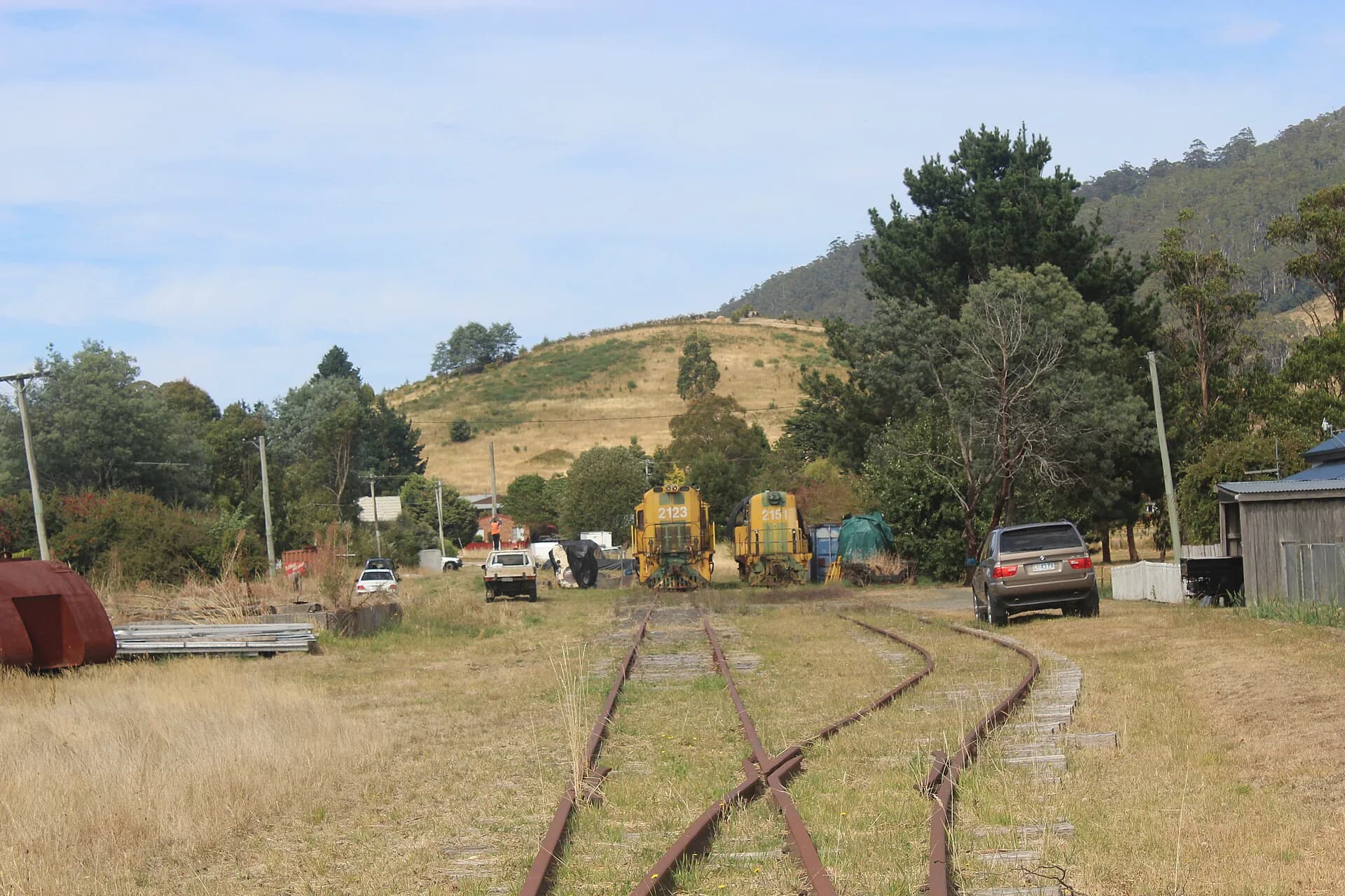

The North East Railway was an ambitious piece of regional infrastructure. From Launceston it climbed through the wooded hills around Lilydale, crossed agricultural country to Scottsdale and was eventually extended through Branxholm to Herrick. It connected farms, sawmills and small towns to the port and markets of northern Tasmania.
The line has gone through several lives: public railway, declining freight route, disused corridor and, on one section, a rail trail. Traces survive in cuttings, embankments, station grounds and the alignment itself. They make the railway easier to understand on the ground than through a list of dates alone.
Why the north-east wanted a railway
Roads across the north-east were slow and weather-dependent in the nineteenth century. A railway promised dependable movement for timber, livestock, dairy produce, grain, passengers and mail. It also expressed a recurring Tasmanian hope that transport investment would turn scattered settlements into a stronger regional economy.
Building east from Launceston was difficult. The direct distance is modest, but the route had to find workable grades through folded, forested country. The line's curves and climbs later limited speed and efficiency, yet they are part of what gives the corridor its character.

From Launceston to Herrick
The line from Launceston to Scottsdale opened in February 1889. It passed through Mowbray, Turners Marsh, Karoola, Lilydale, Lebrina and Wyena before reaching Scottsdale. The railway brought station precincts, goods sheds and sidings, and its timetable structured travel for communities along the route.
Extension took longer. Rail reached Branxholm in 1911 and Herrick in 1919. The completed route served a landscape of farms and forests rather than one dominant industrial centre. Branch traffic and timber loading were therefore important to its working life.
Passenger travel diminished as private cars and improved roads became more practical. Freight lasted longer, but the disadvantages of the winding route became harder to ignore. The line ceased regular railway use in stages. Anyone researching a particular closure date should distinguish the withdrawal of passenger trains, the end of scheduled freight and the formal status of the corridor, which did not occur at the same time.
What survives
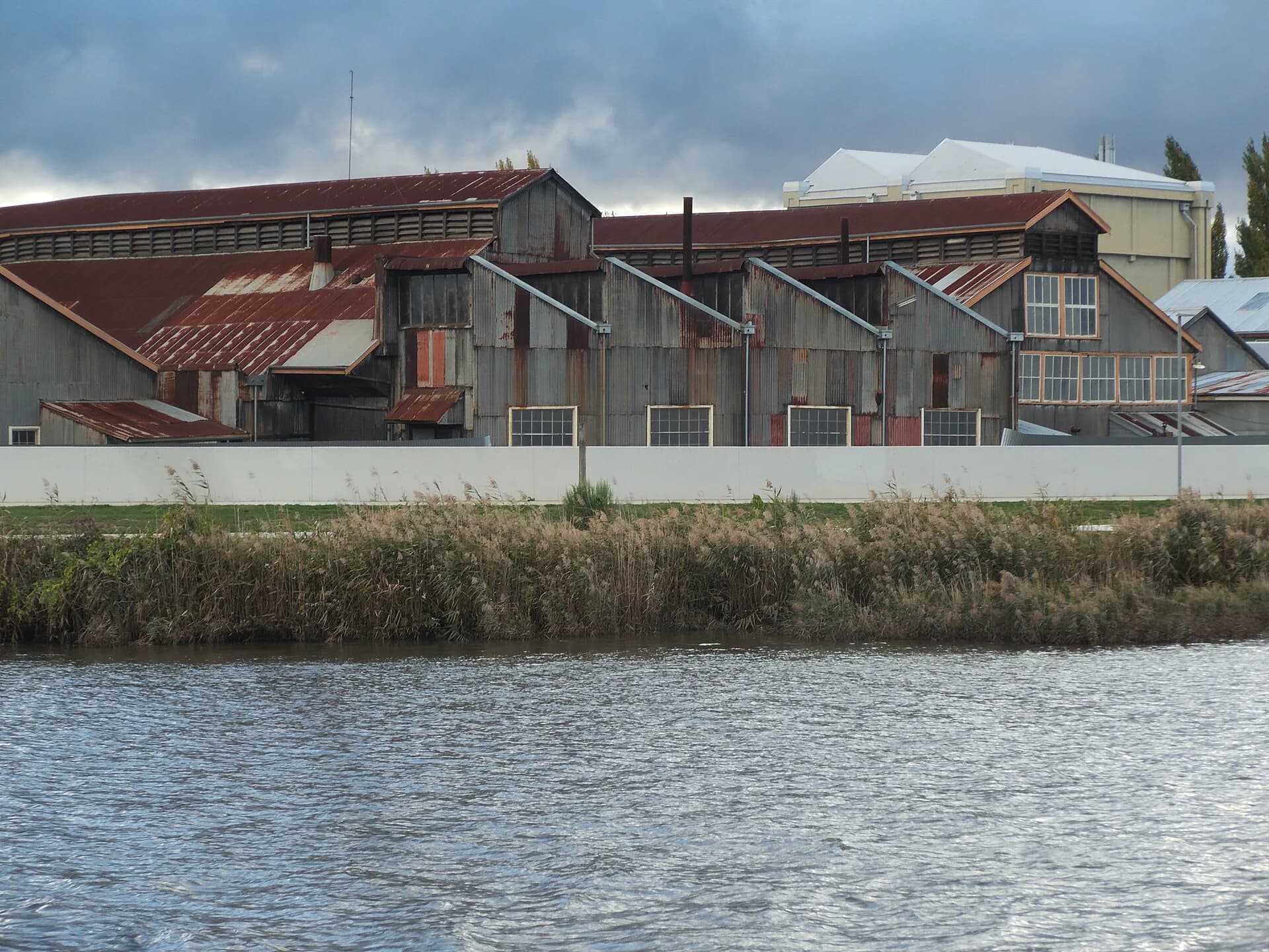
At Lilydale, railway land and surviving equipment still make the former line legible. Elsewhere, bridge abutments, formation, culverts and station sites appear and disappear among later roads and vegetation. Inveresk in Launceston preserves a much larger railway workshop landscape and helps explain the industrial system that maintained rolling stock used across Tasmania.
.png)
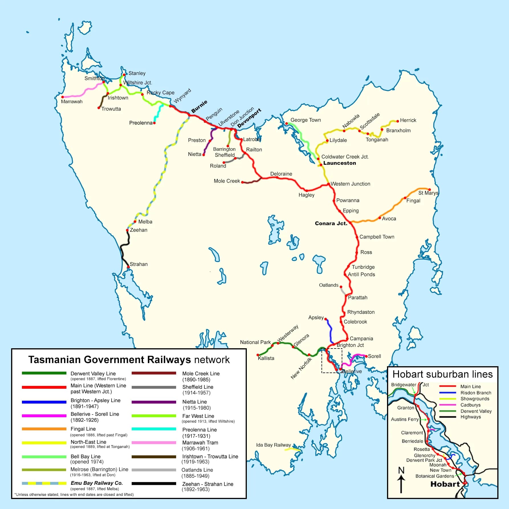
The system map shows why the North East line was unusual. It pushed away from Tasmania's main north-south railway into terrain with no continuing connection to the east coast. Its isolation from large population centres made local traffic essential.
The North East Rail Trail
Dorset Council manages a 26-kilometre rail trail from the old Scottsdale station precinct to Tulendeena at Billycock Hill. The trail descends and climbs gently by railway standards, passing farmland, wet forest and former station sites at Trewalla, Kamona and Tulendeena. Council lists shorter access options, parking and facilities along the route.
The trail is shared by cyclists and walkers. Surfaces and weather can change, so check Dorset Council's current information before setting out. It is an out-and-back trip unless transport has been arranged. Water is limited along the route, and mobile coverage should not be assumed in every cutting.


Following the old line responsibly
Only the designated trail section should be treated as a public recreation route. Other parts of the former railway pass through operational transport land, private property or areas without a maintained track. Old bridges and structures may be unsafe even when they look accessible.
For archival research, Libraries Tasmania's railway guide points to departmental records, maps, photographs and timetables. Historical aerial imagery can help identify formation where vegetation has reclaimed the corridor. Local museums and historical societies often hold station-level detail absent from state summaries.
Combine this page with the Launceston heritage walk to see the civic and industrial city from which the line departed. The road trips index is the starting point for present-day routes through the north-east.