
Launceston rewards slow walking. Its centre is compact, but the city’s history is distributed across Georgian warehouses, Victorian public buildings, parks, lanes and the industrial landscape at the meeting of the North and South Esk rivers.
This self-guided route is about 4 kilometres before optional detours. Allow two to three hours if you want to read plaques and look closely at buildings. It is an editorial route rather than a marked circuit, so use normal city crossings and check access hours before entering museums or paid sites.
Start at Civic Square
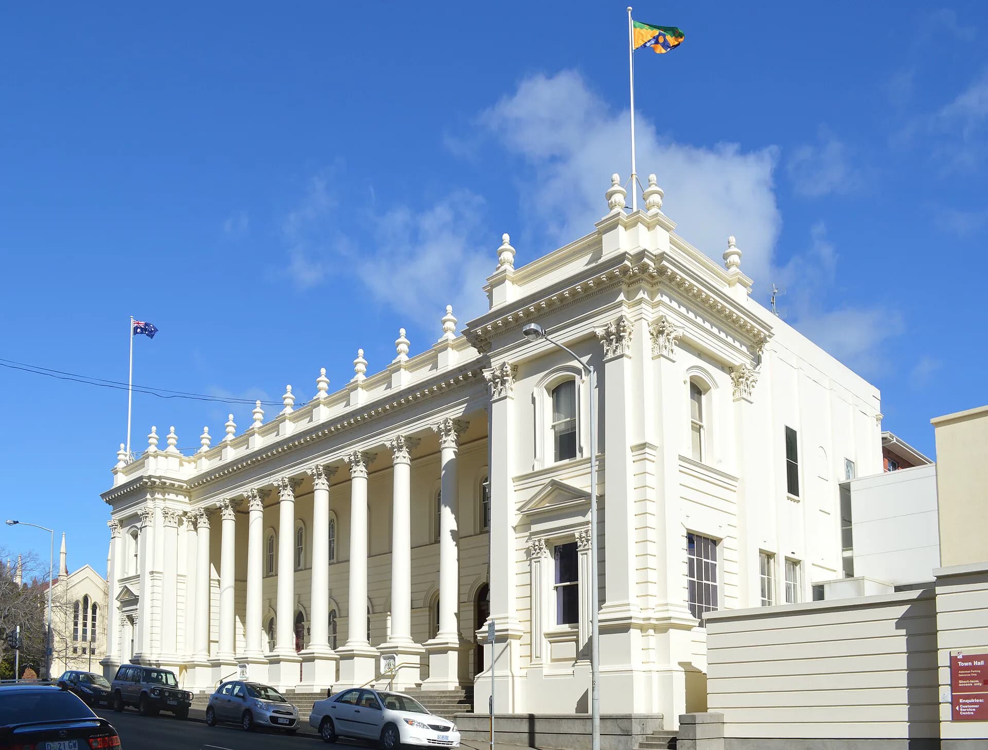
Begin in Civic Square, between Town Hall and the former post office. Launceston Town Hall grew from a building completed in the 1860s. Its classical facade, columns and later additions express the confidence of a municipality serving a prosperous northern trading centre.
Walk around the square rather than treating it as a single viewpoint. The surrounding frontages reveal how civic, postal, financial and commercial institutions gathered close together. Upper-storey windows and side elevations often retain more historical detail than altered shopfronts at street level.
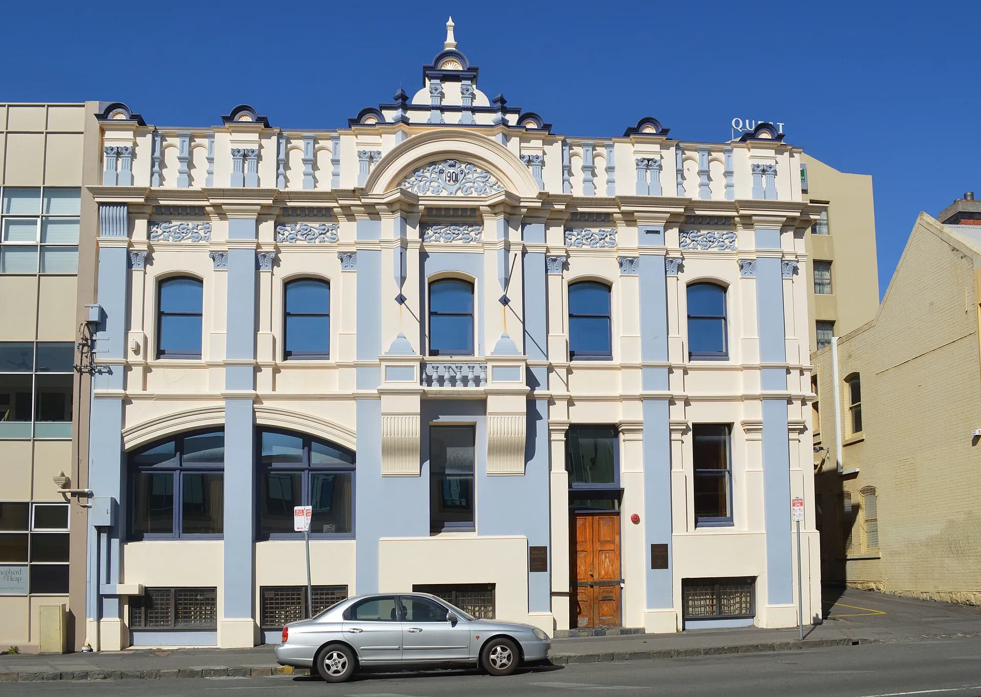
Continue along St John Street and look into the cross streets. Launceston has examples from many architectural periods, which is more interesting than a perfectly preserved colonial set-piece. Georgian forms sit near ornate Victorian facades, Federation buildings and assertive twentieth-century work.
Princes Square and the southern centre
Princes Square occupies a former brickfield and was laid out as public space in the nineteenth century. Its mature trees, paths and Val d'Osne fountain reflect the civic garden ideals of the period. Nearby churches and terraces help show how the settlement expanded away from its river edge.
From the square, loop back towards George Street. This is a good section for reading the city as a working place: narrow allotments, rear access, warehouses and houses adapted repeatedly rather than frozen at one date.

City Park and Albert Hall
City Park developed from gardens established by the Launceston Horticultural Society. The municipality took responsibility in 1863. The park's layout and plantings belong to a long tradition of public gardens used for display, recreation and civic pride.
On the park edge, Albert Hall was built for the Tasmanian International Exhibition of 1891–92. The City of Launceston completed a major redevelopment in 2025, adding an eastern wing and upgrading the Great Hall while retaining the landmark's public role. The hall is usually best appreciated from outside unless an event provides access.
Nearby, the Queen Victoria Museum and Art Gallery building at Royal Park opened in 1891. Its collections grew from the Royal Society of Tasmania and the Launceston Mechanics’ Institute. QVMAG now operates at both Royal Park and Inveresk, making it a useful bridge between the civic city and its industrial history.
The river edge and Inveresk
Follow the city towards the North Esk and the flood levees. Launceston's rivers supported trade and industry, but they also exposed low-lying suburbs to severe floods. Modern flood infrastructure is part of the heritage landscape because it changes the relationship between the centre, Invermay and the water.
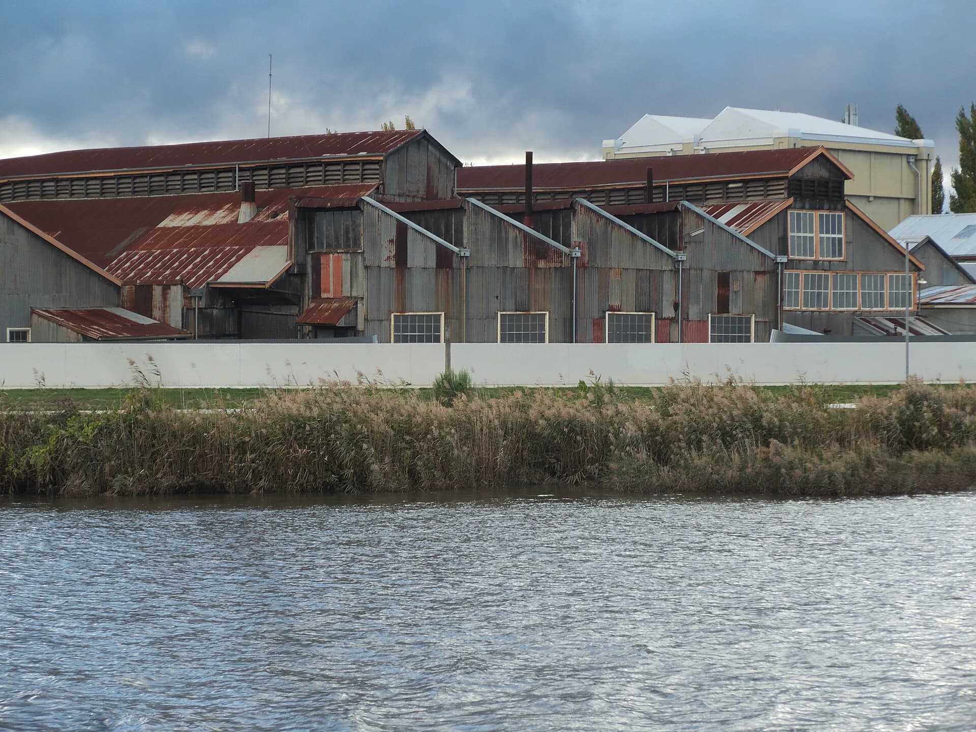

Cross to Inveresk if time allows. The former railway workshops contain long brick sheds, yards and machinery spaces built for a statewide transport system. QVMAG's museum campus gives public access to part of the precinct. The contrast with Town Hall is useful: one represents public authority, the other the skilled labour and heavy maintenance that kept railways operating.
Finish towards Cataract Gorge
Return through the centre and continue west to the lower entrance of Cataract Gorge. Ritchie's Mill, established as a flour mill in the 1840s, marks the transition from urban blocks to the rocky gorge. From here you can finish the heritage walk or continue on maintained gorge tracks.
Cataract Gorge is not empty scenery at the edge of town. It has deep Aboriginal history, a long record of water and power infrastructure, and public recreation facilities developed from the late nineteenth century. Treat it as another historical landscape, not simply a photographic endpoint.
What to notice
Look for building materials, especially local brick, sandstone and decorative cast iron. Compare the formal street facades with working rear elevations. Plaques are useful prompts, but they often concentrate on architects and prominent owners. Warehouses, workshops, flood works and altered shopfronts tell equally important stories about labour and daily life.
Heritage Tasmania links to current self-guided tours, and the City of Launceston publishes architecture and green-space guides. Pair this route with the North East Railway history, or start with the broader Launceston and north-east region.