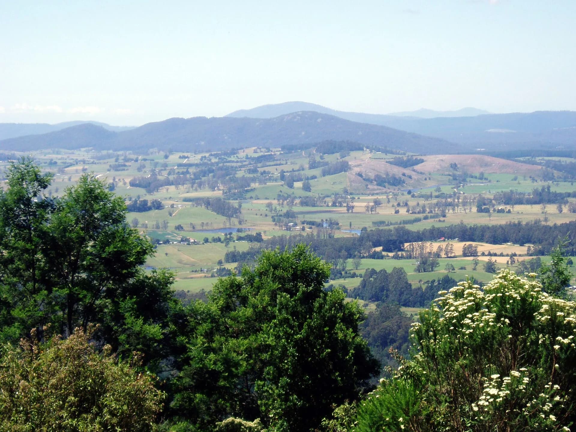

North-east Tasmania is often described through its farms, forests and former tin towns. That view is useful only if it begins much earlier. The district contains Aboriginal cultural landscapes and continuing connections to Country that predate the roads, cadastral boundaries and industries visible today.
Country before colonial boundaries
The north-east includes Country associated with several Tasmanian Aboriginal nations and clans. Coast, river valleys, high country and seasonal resources formed connected landscapes rather than the council and district boundaries used today. Official Aboriginal place names and community-led interpretation should be preferred when discussing particular places.
British occupation brought dispossession and violence as pastoral settlement spread from the Tamar and Midlands. Surveyors and settlers described land as available for farms and runs, ignoring existing ownership and cultural obligations.
Farms, roads and service towns
Pastoral and agricultural settlement developed unevenly. Productive country around Scottsdale became important for dairying, cropping and livestock. Small towns provided stores, schools, hotels, halls and transport services to dispersed communities. Scottsdale, first known as Ellesmere, grew into the main regional service centre.

The road network followed practical routes between Launceston, the Tamar, Bridport, Scottsdale and the east coast. Weather and steep terrain made travel difficult, while ports and river mouths provided alternative connections.
The tin province
Tin discoveries in the 1870s transformed the Ringarooma Valley and Blue Tier. The University of Tasmania records mining at Derby, Branxholm, Pioneer, Weldborough, Gladstone and other fields. The Briseis mine at Derby became the largest producer in the north-east, while smaller alluvial and hard-rock workings created a dispersed industrial landscape.
Chinese miners formed the largest non-European community in nineteenth-century Tasmania. They worked claims, established businesses and built social networks across the mining districts. Surviving sites and collections must be interpreted as part of Tasmanian history, not as a side note to European mining.

Railways, forestry and change
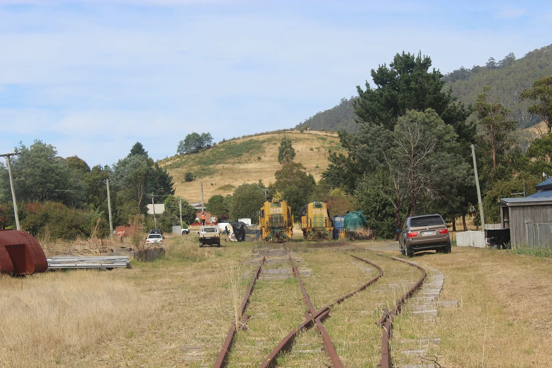
The railway from Launceston reached Scottsdale in 1889 and later extended farther east. It moved farm produce, timber, minerals, passengers and mail. The North East Railway also tied local economies more closely to Launceston. Road freight eventually displaced much of that role, and the line closed in stages.
Forestry, timber processing and agriculture remained important through the twentieth century. Food processing and public services supported Scottsdale, while former mining towns faced decline and reinvention. Derby’s recent visitor economy uses a landscape still marked by mining, including water races, tailings and altered waterways.
Reading the region today
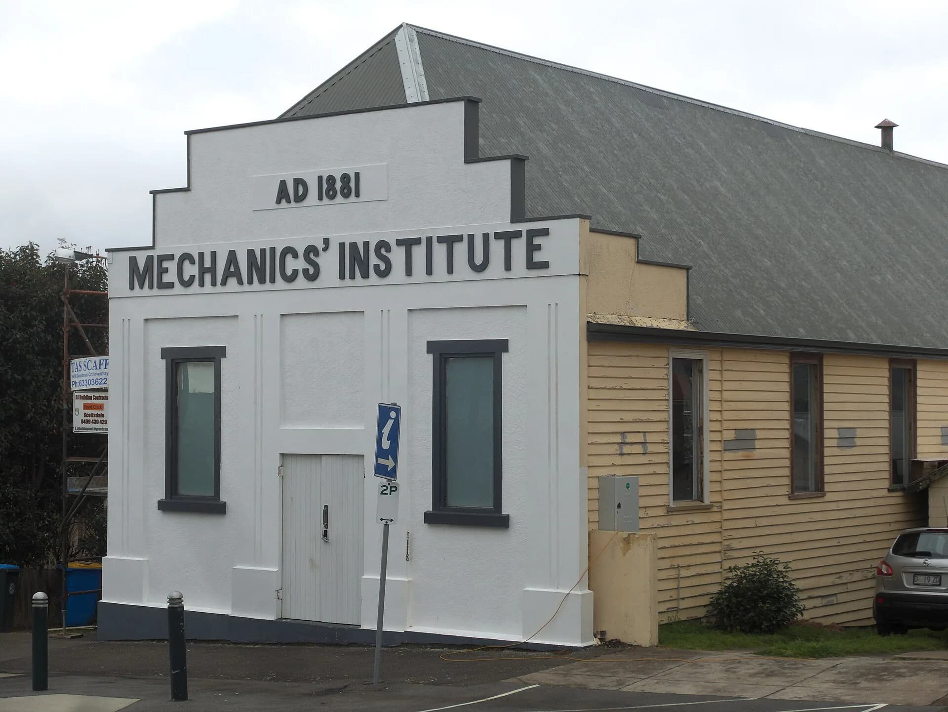
Heritage is spread across working towns and landscapes. Mechanics’ institutes, rail formations, mine sites, cemeteries, farm buildings and Chinese sites each tell only part of the story. Current visitor access can change, especially at former mines and forest sites, so check land-manager information before leaving marked roads or trails.