
Launceston developed where the North and South Esk rivers meet and flow into kanamaluka / River Tamar. That geography created a transport centre, but also marshy ground, flood risk and difficult river crossings. The city visible today is the result of repeated work to drain, bridge, reclaim and connect that setting.
Country before the town
The City of Launceston's thematic history places the area near the boundary of North Midlands and North East Country. It identifies the Letteremairrener and Panninher among the Aboriginal groups whose seasonal movement and economies were tied to the Tamar and inland plains. British occupation from 1804 brought rapid dispossession and violence. This history begins before the street grid and continues through the living Tasmanian Aboriginal community.
Port Dalrymple moves inland
Lieutenant-Colonel William Paterson established the northern colony first at Outer Cove and York Town. In 1806 the headquarters shifted inland to the present city site. The settlement was initially called Patersonia and renamed Launceston in 1807, after Governor Philip Gidley King's birthplace in Cornwall.

The early town struggled with water, drainage and low ground. Its position nevertheless gave access to a broad agricultural hinterland and Bass Strait shipping. Wharves, warehouses and merchants grew around the river trade. Roads and, later, railways drew produce and people into the city.
Industry and connection
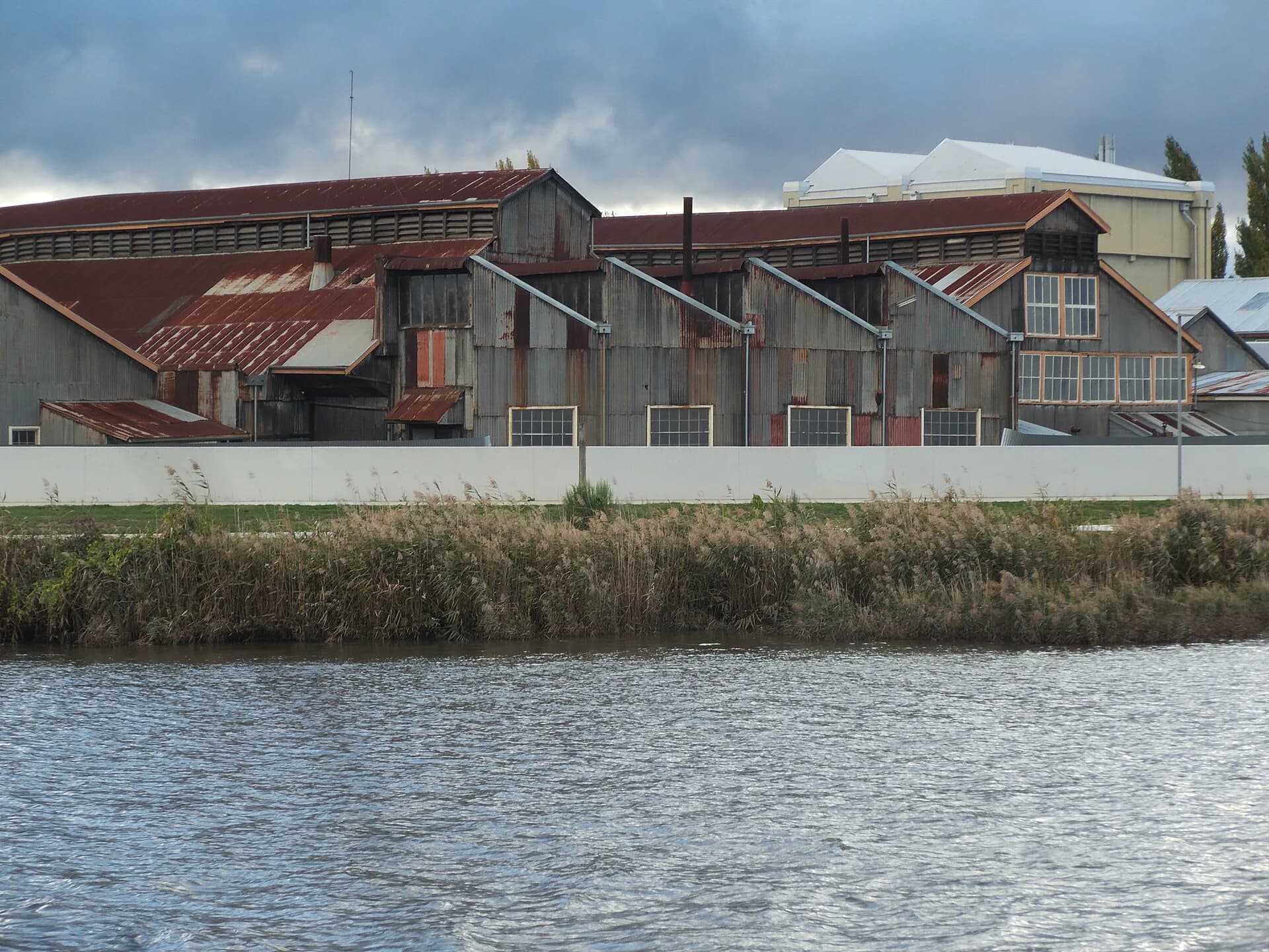
Launceston became a manufacturing as well as commercial centre. Flour milling, brewing, wool processing, foundries and engineering all left structures or archaeological traces. The railway workshops at Inveresk became one of the most important industrial complexes in northern Tasmania and now house cultural and educational uses.

Municipal government began in 1853. Water supply, drainage, bridges, street grading and parks were civic projects that made urban growth possible. Cataract Gorge and City Park were not incidental decorations. Their development reflected a strong local belief that public landscapes were part of a modern city.
Reading Launceston now
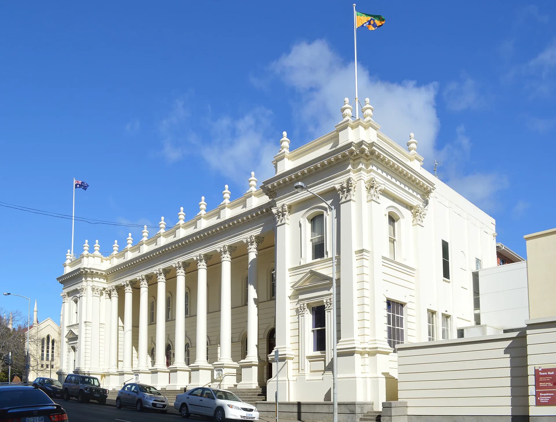
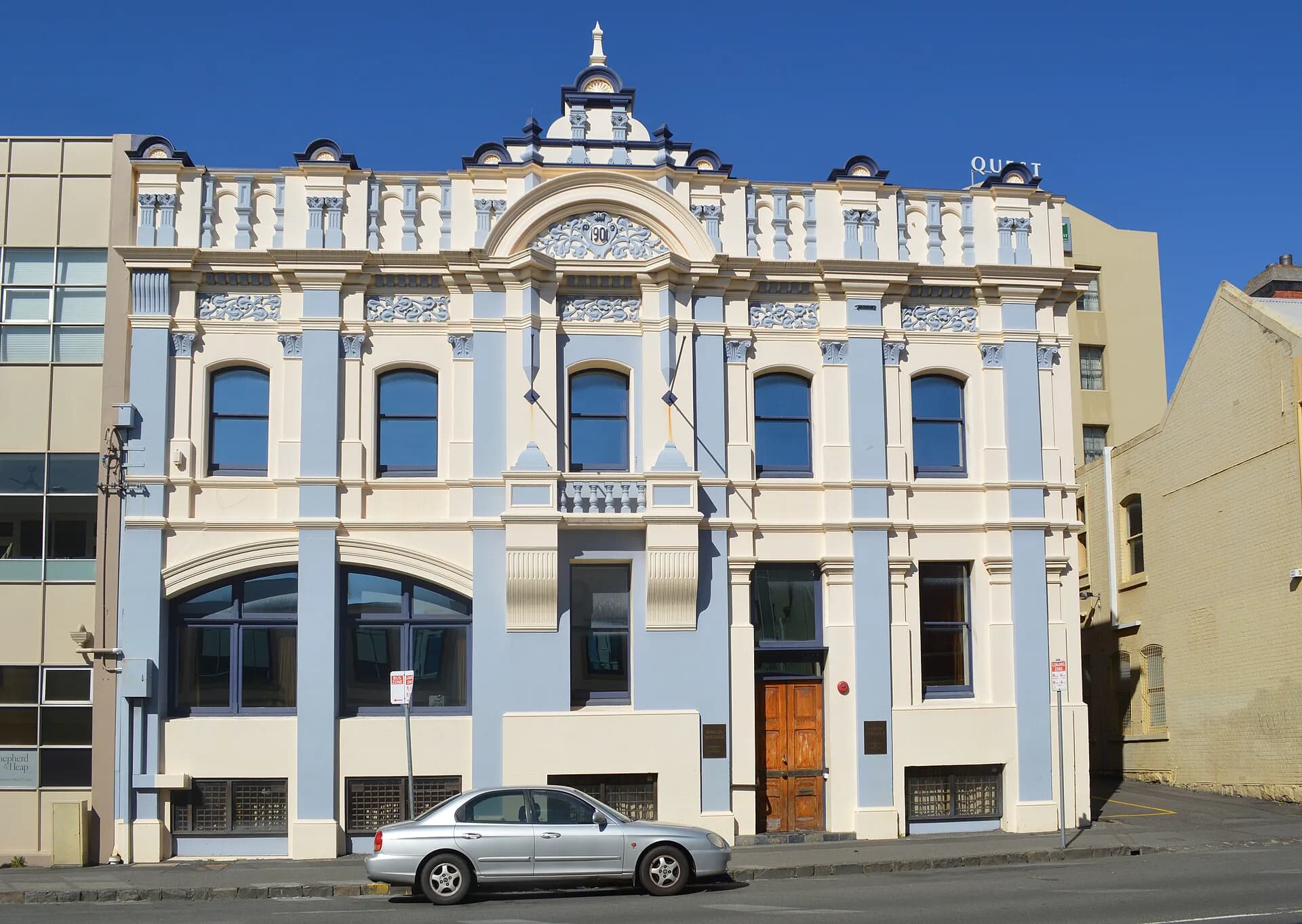
The centre retains buildings from many periods rather than a single preserved colonial moment. Georgian warehouses, Victorian commercial facades, churches, twentieth-century offices and adapted industrial buildings sit within the same few blocks. The Launceston heritage walk is the clearest way to read those layers on foot.
The rivers still explain the city. Walk from Inveresk across the centre towards Kings Bridge and Cataract Gorge to see how industry, flood management, recreation and transport occupy the same system. For regional context, the North East Railway shows how Launceston's influence extended into rural and mining districts.