.jpg)
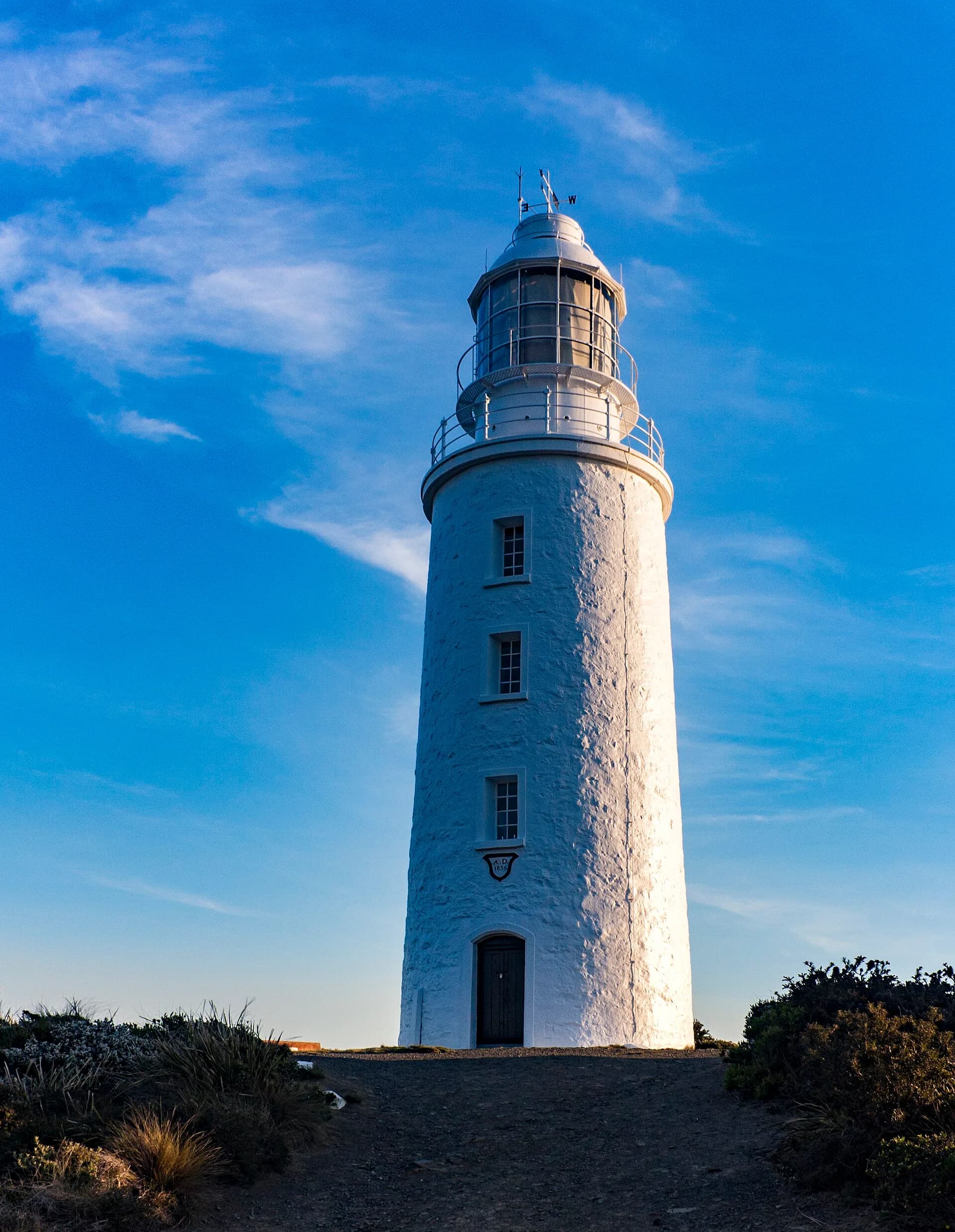
Tasmania’s lighthouses mark Bass Strait approaches, island passages and dangerous ocean coasts. Some stand beside public roads; others occupy remote islands where landing is controlled or prohibited.
Accessible mainland stations
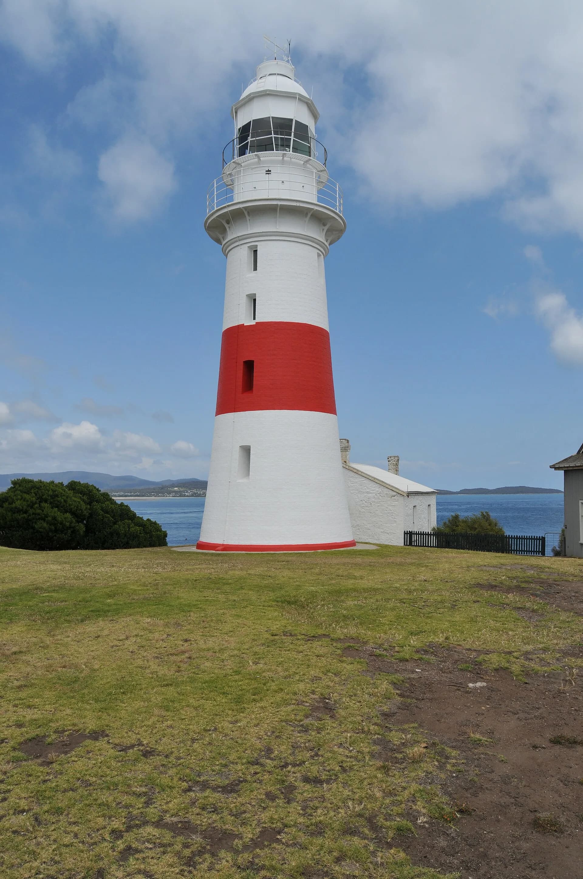
Low Head and parts of the south-east coast allow public views from managed precincts. Buildings may be residences, accommodation or operational sites, so signs and private boundaries still apply.

Island lights demanded isolated work
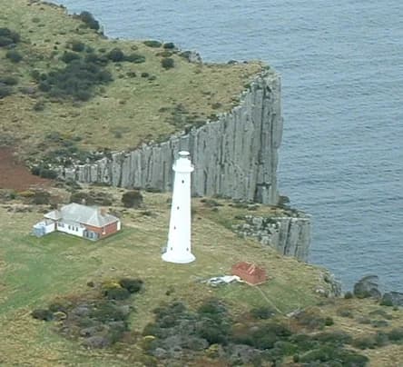
Tasman Island, Maatsuyker Island, Swan Island and other stations required boats, supply systems and resident keepers. Automation changed staffing but did not make the islands casual visitor destinations.

Lights remain safety infrastructure
Modern beacons and heritage towers are part of a national navigation network. Never interfere with equipment, fly drones without permission or enter closed compounds.
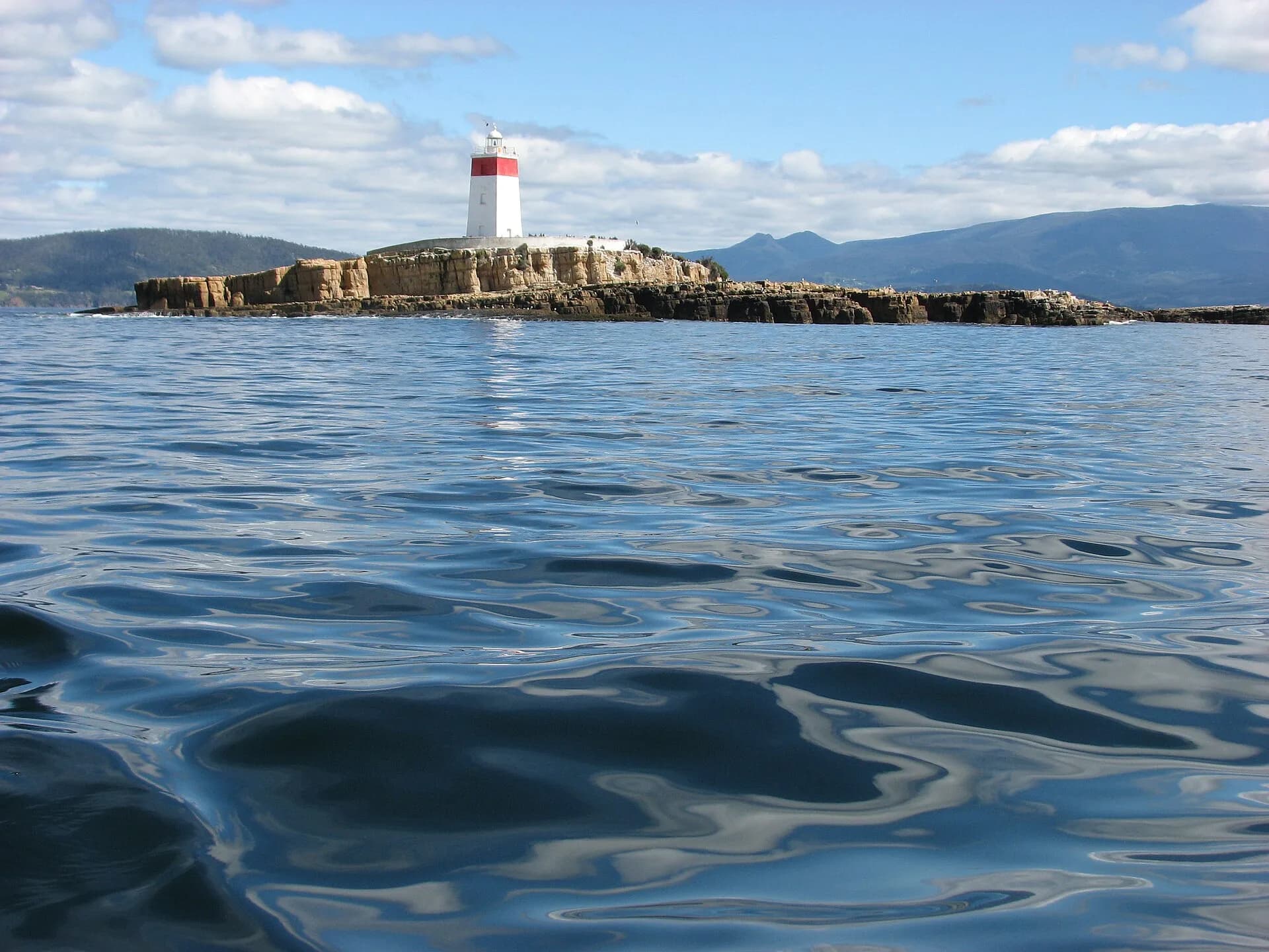

Visit through the Low Head guide or Cape Bruny. The islands of Tasmania page explains why many offshore lights have restricted access.