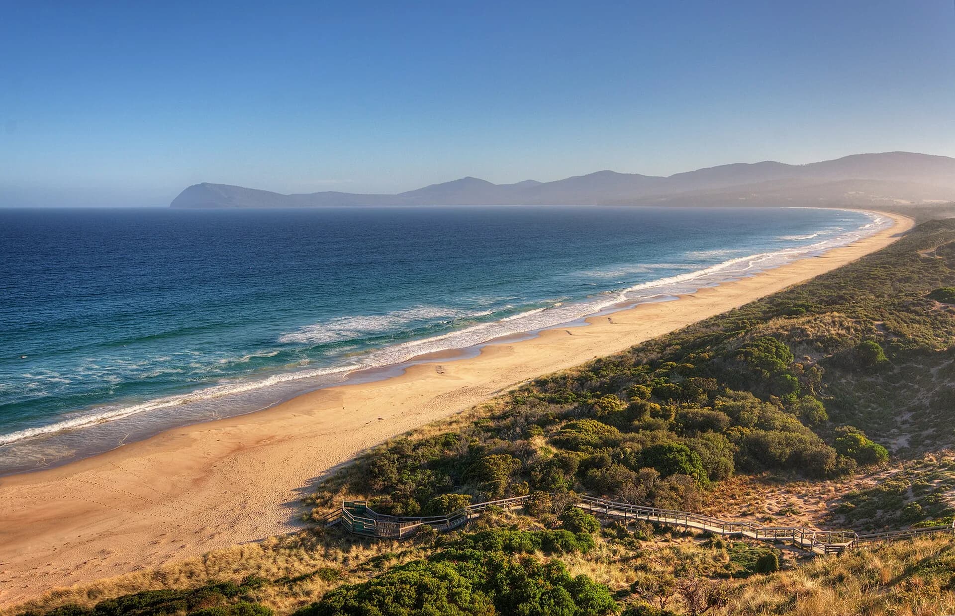

lunawanna-alonnah / Bruny Island lies across the D’Entrecasteaux Channel from Kettering. North and South Bruny are joined by a narrow isthmus known as The Neck, creating a long island journey rather than one compact attraction.
Plan around the ferry
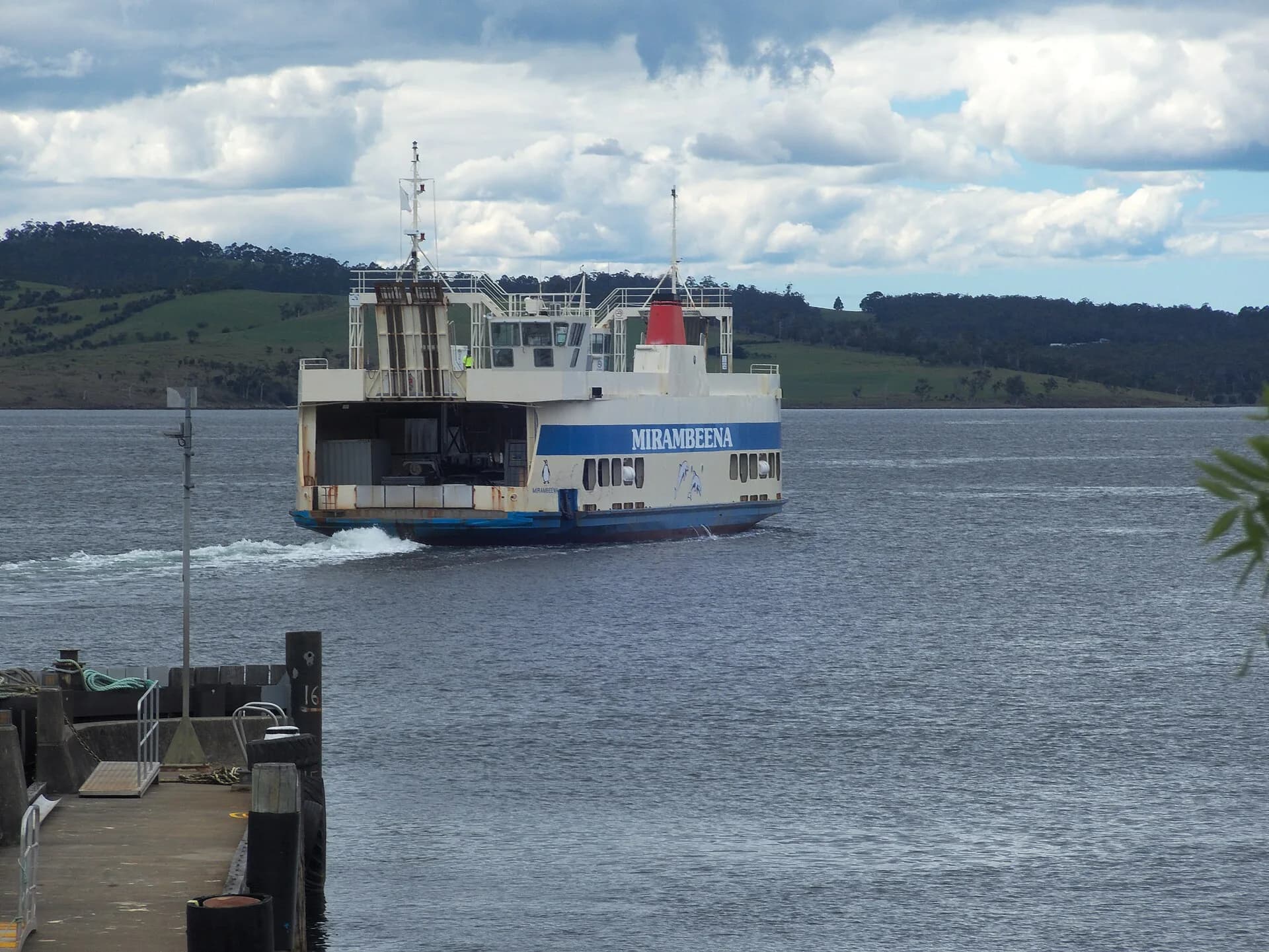
The vehicle and passenger ferry crosses from Kettering. The sailing itself is short, but queues, loading and road traffic add time. Check the operator’s current fares, service notices and peak-period advice before travel.
Fill the vehicle before crossing and avoid a fixed mainland appointment immediately after the return journey. Busy weekends and holidays can produce delays in either direction. Anyone travelling without a vehicle should confirm how they will move around the island because attractions and settlements are widely dispersed.

North Bruny is more than the road south
North Bruny has farmland, sheltered shores and small settlements. Many visitors drive straight through, but the landscape changes gradually from the ferry landing towards The Neck. Side roads can be gravel and services are limited, so check conditions before leaving the main route.
Food producers and cellar doors operate on their own schedules. Confirm opening days directly rather than building a trip around old listings. If drinking alcohol, organise a sober driver.
The Neck and its wildlife
The Neck lookout provides the island’s best-known overview, with water visible on both sides of the isthmus. Stairs climb to the viewpoint, and the stop can be exposed in wind and rain.
The surrounding dunes and shore support penguin and shearwater habitat. Use platforms and formed paths, keep lights low at night and follow seasonal wildlife guidance. Never block an animal’s route between the sea and its burrow.
.jpg)
Adventure Bay and the island’s east coast
Adventure Bay offers a sheltered base, beach access and nearby walks. Grass Point is the easier coastal option, while Fluted Cape is longer and steeper with exposed cliff country. Check official grading and conditions before setting out.
The bay also appears in records of eighteenth-century European voyages. The William Bligh article explains that layer of history. It should sit alongside, not replace, the much longer Aboriginal history of the island.
South Bruny National Park
South Bruny National Park includes Cloudy Bay, Cape Bruny, forest and high coastal cliffs. A valid parks pass is required. Some roads are unsealed and can be rough after weather or traffic.
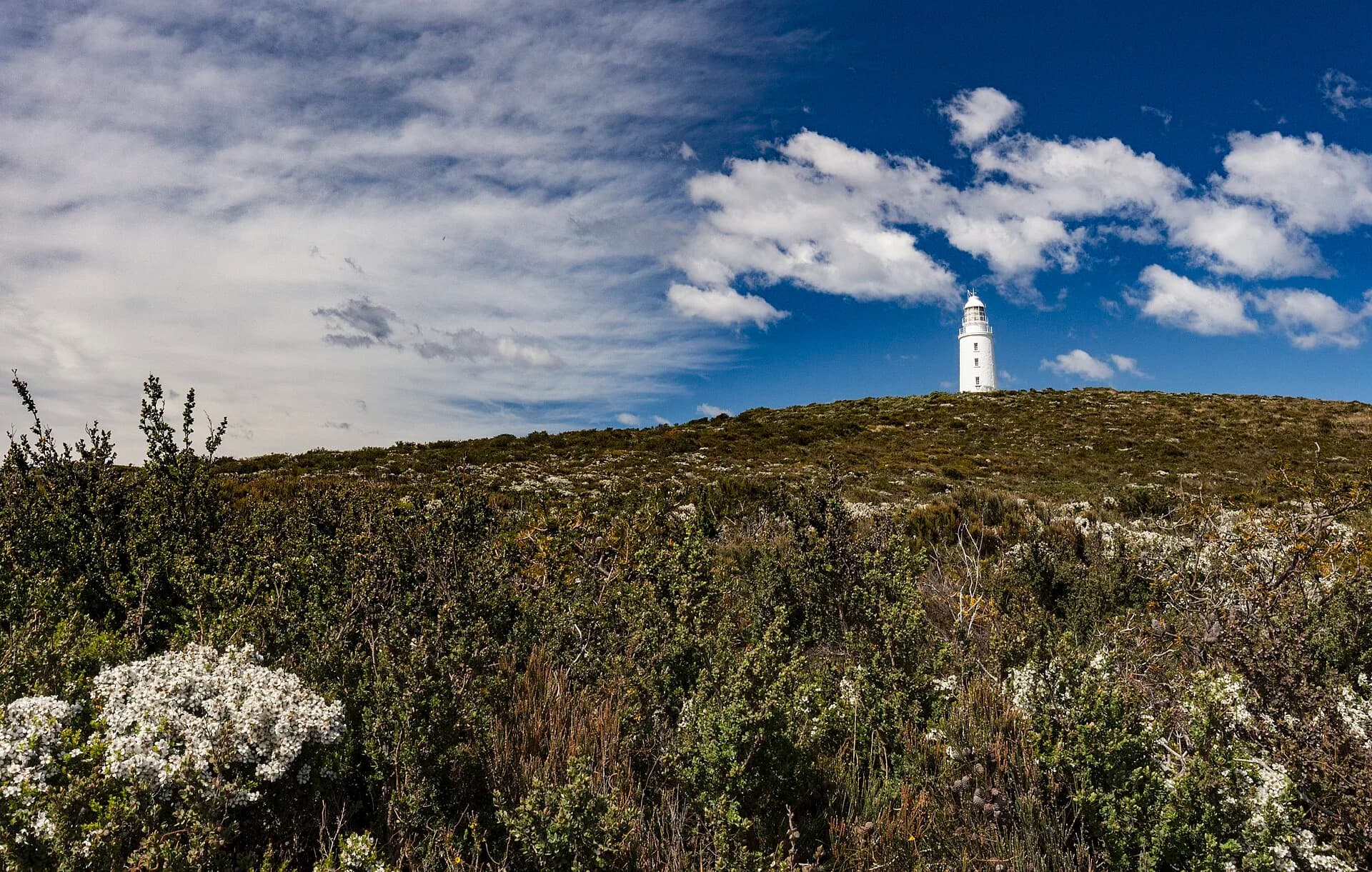
Cloudy Bay is exposed to Southern Ocean conditions. Cape Bruny has lighthouse and coastal history, with access arrangements that should be checked before the drive. Walks and shore visits need clothing for wind and rain even when Kettering appears settled.

.jpg)
Aboriginal heritage
The island is Country of the Nuenonne clan of the South East nation. Middens, quarries and artefact scatters retain cultural significance. Leave material undisturbed, stay on formed routes where requested and follow current interpretation.
Using Aboriginal place names is part of recognising living cultural relationships, but names should not be treated as decorative labels. Read interpretation from Tasmanian Aboriginal organisations and Parks Tasmania where available.
Wildlife and road safety
Wildlife is active across the island, particularly around dawn, dusk and night. Avoid driving after dark where possible. Slow down on narrow and gravel roads, leave space behind other vehicles and pull over only where it is safe.
White wallabies attract attention around Adventure Bay, but they are wild animals. Do not feed or approach them. Feeding harms health and changes behaviour.
Day trip or overnight stay
A day trip works when limited to one part of the island. A practical first visit might combine The Neck with Adventure Bay, or focus on South Bruny and Cape Bruny. Trying to cover every beach, walk and producer creates too much driving.
Two nights allow the island to be divided into northern and southern days and make ferry timing less dominant. Carry water, warm layers and offline directions. Mobile coverage can be patchy and business hours vary.

A useful first itinerary
Take an early ferry, pause at The Neck and spend the middle of the day around Adventure Bay. Choose one walk suited to conditions. If returning the same day, turn north with a generous ferry buffer.
With an overnight stay, use the second day for South Bruny National Park and Cape Bruny. This gives the island’s distances, wildlife and weather enough room rather than treating the visit as a checklist between ferry queues.