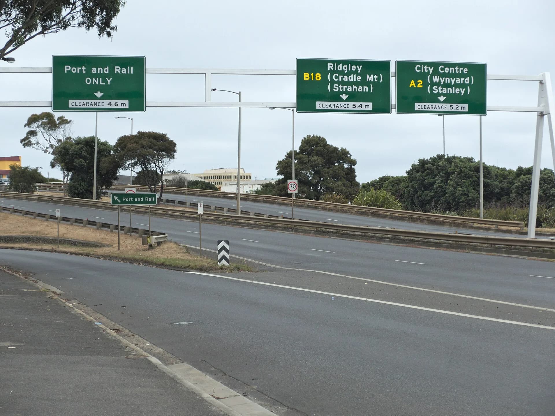

The Blythe River rises in the Surrey Hills and reaches Bass Strait near Heybridge, east of Burnie. It is a working catchment shaped by forest, farms, roads, irrigation and mineral exploration, rather than a developed riverside attraction.
The river changes character downstream
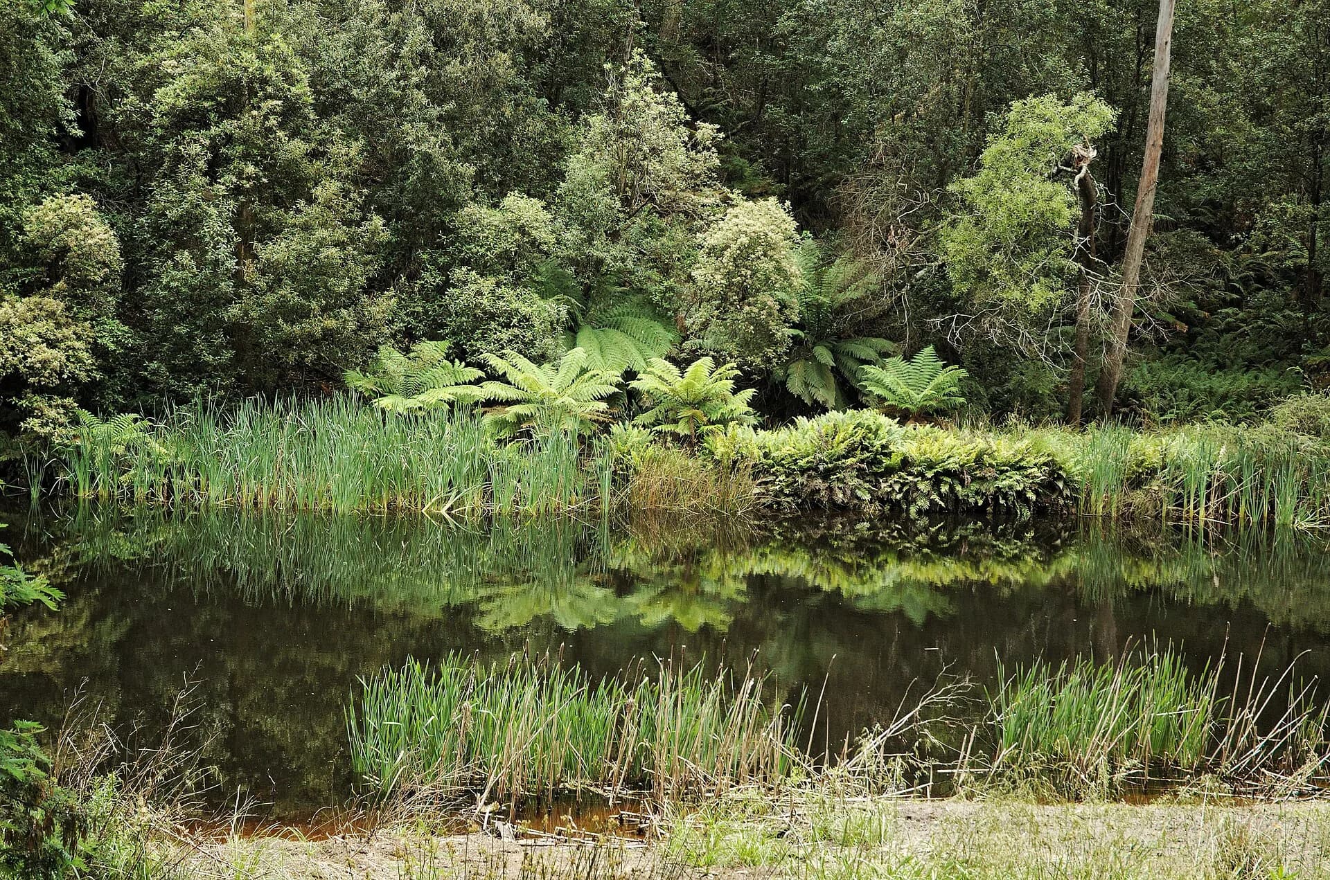
Inland Fisheries Service describes tannin-stained water, steep gorge country and sections where the river runs underground. Upper reaches combine rapids and pools through forest, while lower reaches pass farmland before entering an estuary beside the Bass Highway.

Public access is limited to identified points
The official angling guide identifies access near South Riana Road and at the Bass Highway near Heybridge. It does not make every riverbank public. Much of the catchment adjoins private land, so anglers and walkers must confirm access, licences, season and current regulations.

Mining records explain many historical references
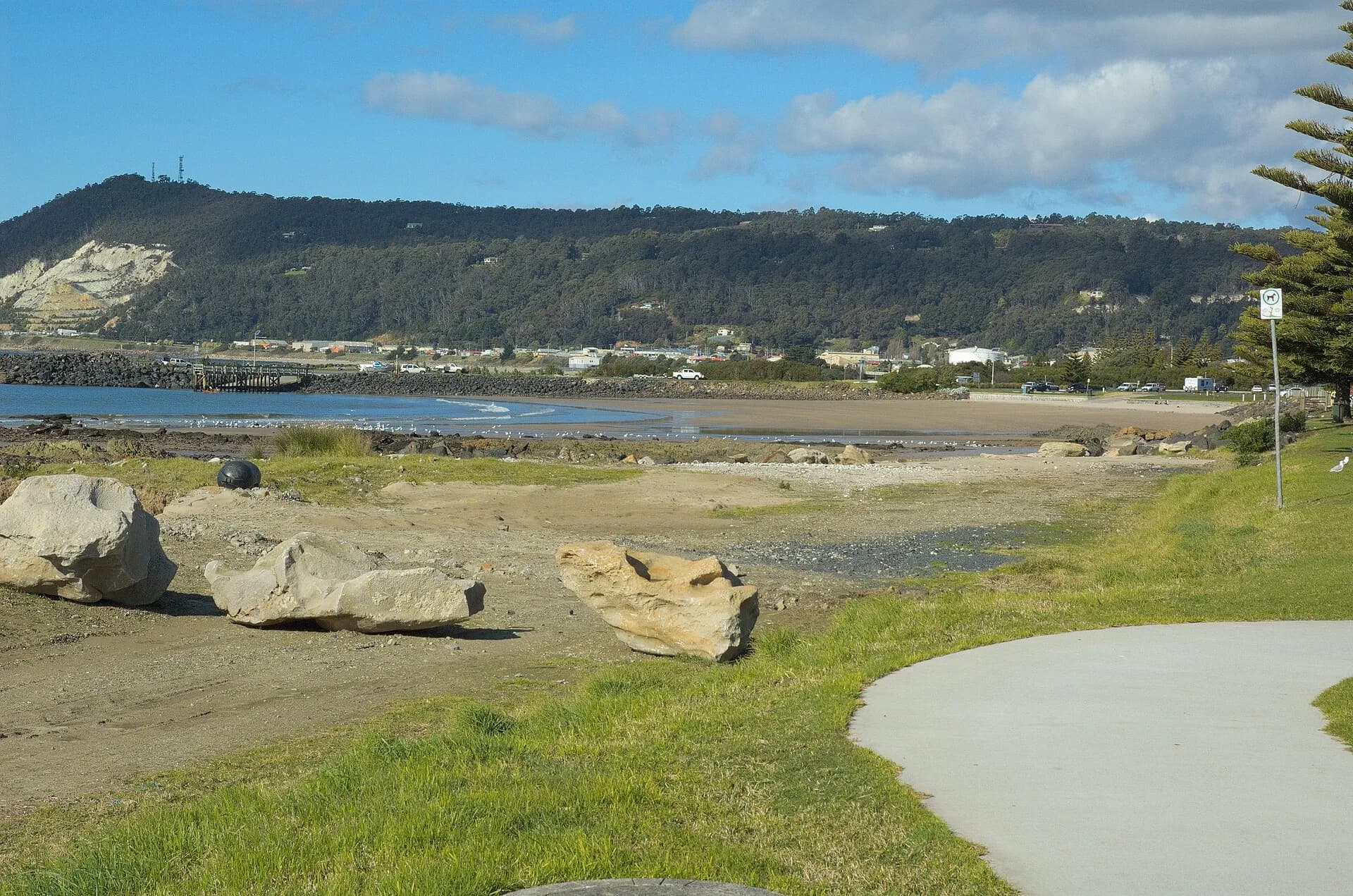
The Blythe and nearby Cuprona deposits have been examined repeatedly for iron ore and other minerals. Mineral Resources Tasmania holds geological and exploration reports that document the deposits, old workings and changing commercial interest. These records are evidence of exploration, not proof of an operating visitor site.
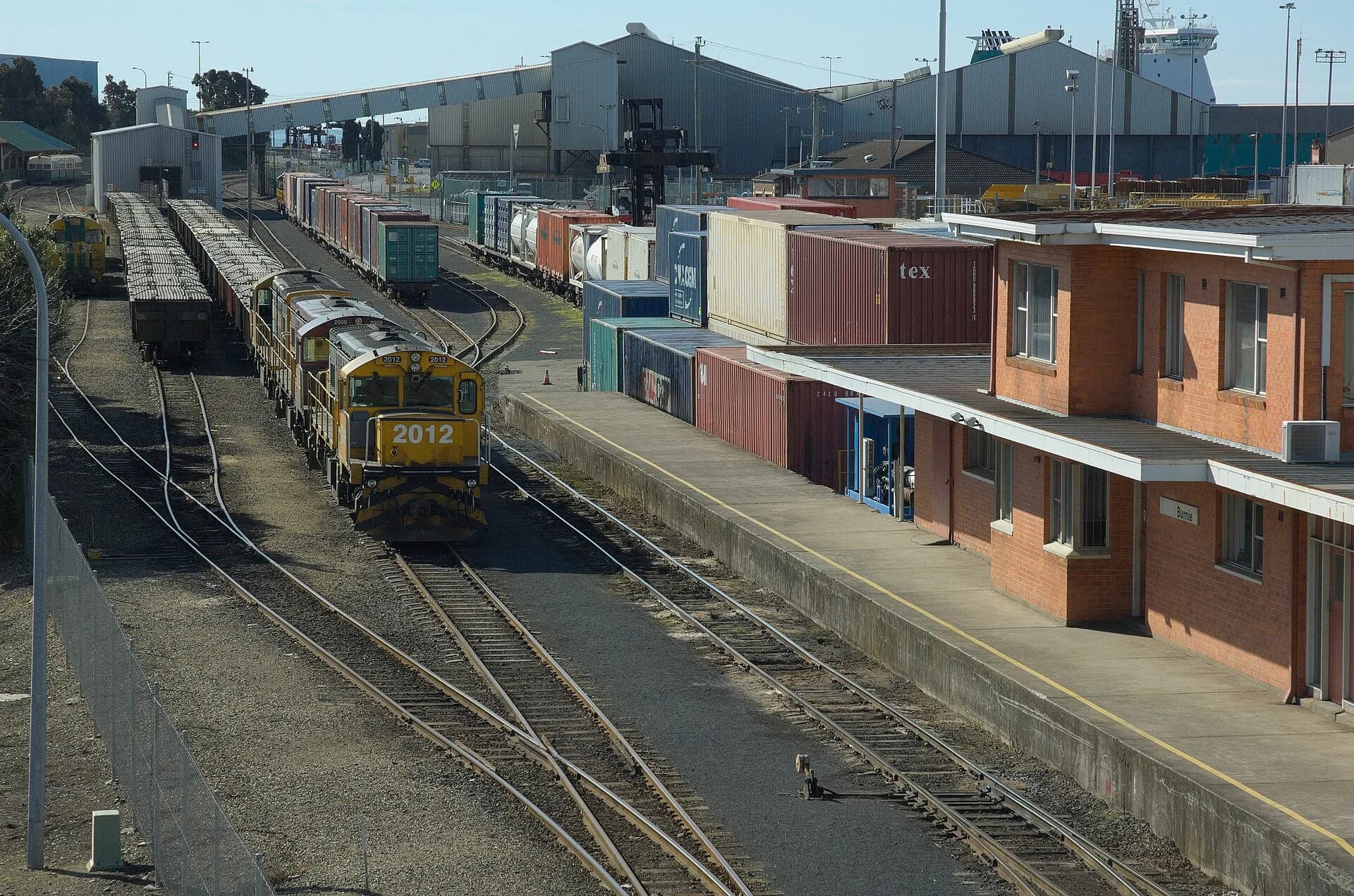

The EPA’s environmental-values process treats the estuary and connected catchments as waters requiring agreed uses and protection goals. That is a better modern frame than portraying the river only as scenery or a mineral deposit. Pair the river with pataway / Burnie, Burnie’s coast and the north-west regional guide.