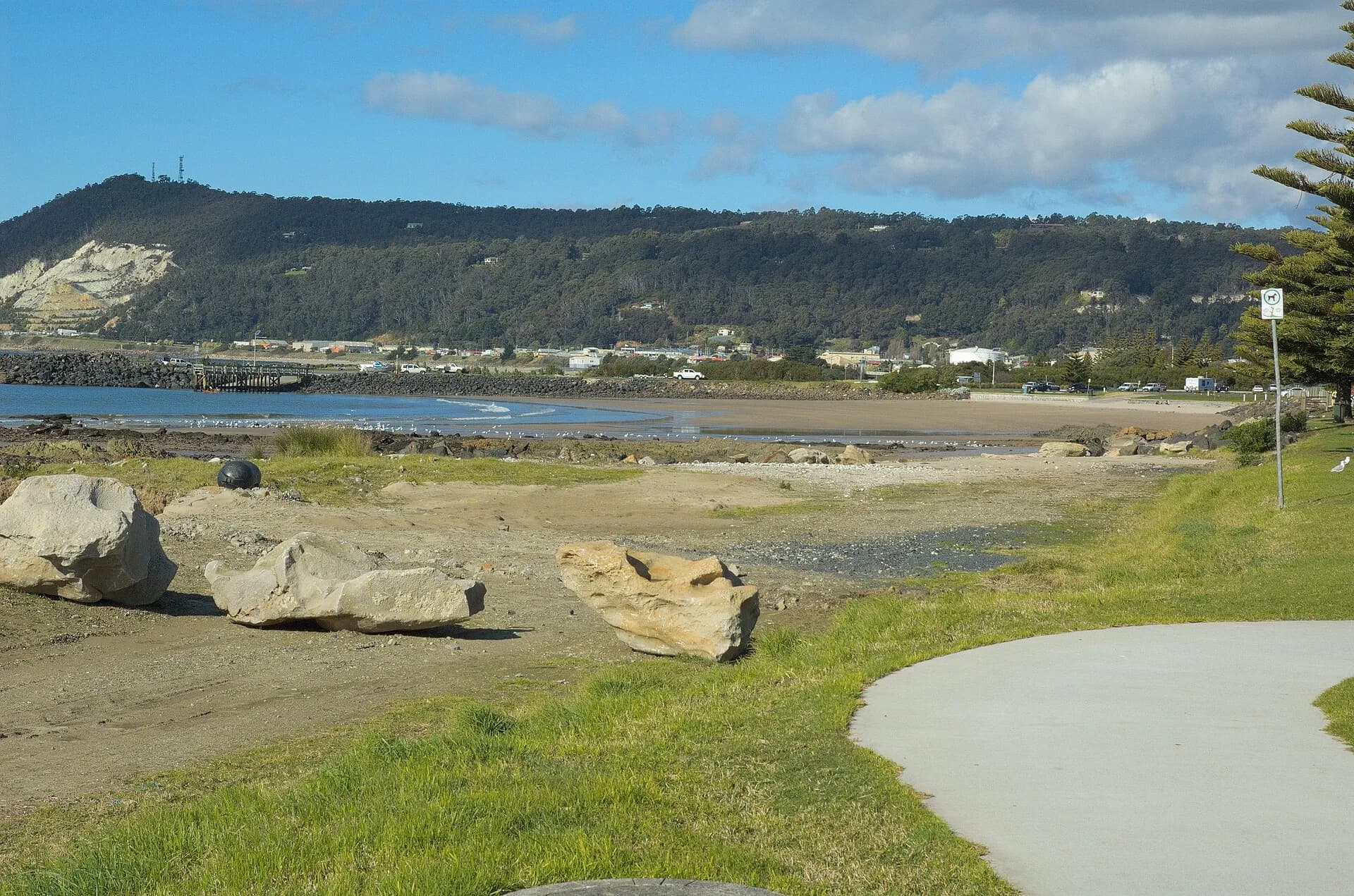

Burnie faces Bass Strait along a shore shaped by beaches, rocky headlands, port works and industry. The most useful visit follows public foreshore areas while respecting operating infrastructure and wildlife habitat.
South Beach is the central shore
South Beach lies close to the city centre and boardwalk. Conditions vary with wind and swell, and patrol arrangements are seasonal. Check signs before swimming and keep clear of stormwater outlets after heavy rain.
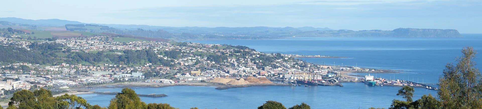

Port and industrial edges are restricted
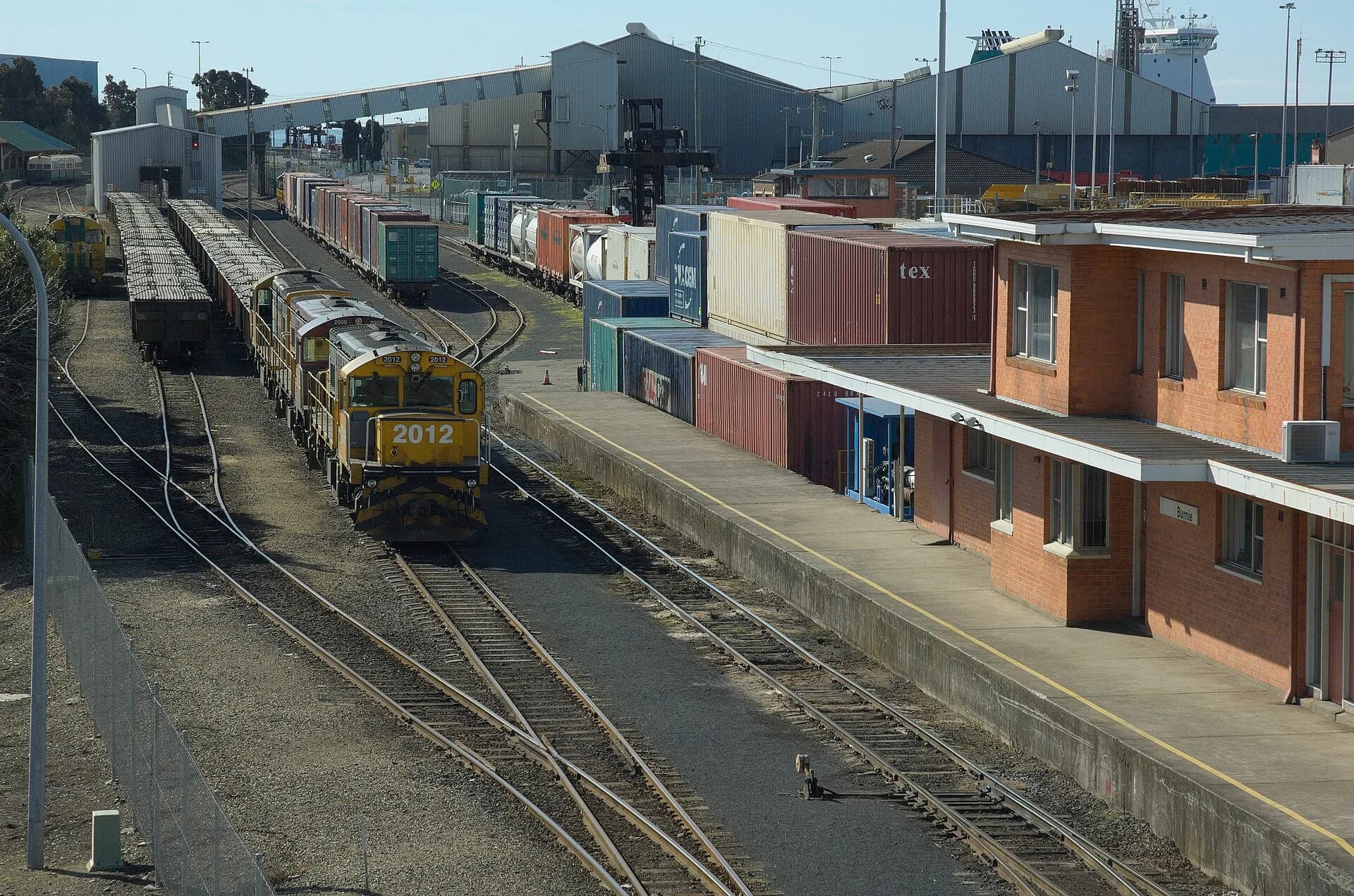
Burnie’s port remains working infrastructure. Fences, rail lines and signed operational zones are not shortcuts to a photograph. Public viewpoints explain how shipping and industry changed the original shoreline.

Little penguins use the coast
Penguins come ashore after dark in parts of the district. Use managed viewing, keep dogs controlled, avoid flash and white lights, and never stand between birds and their burrows.
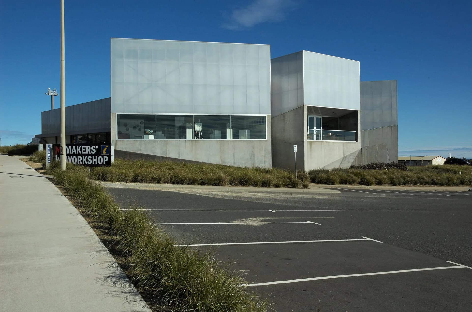

Use the Burnie city guide for services and the Burnie history page for the port and industrial story.