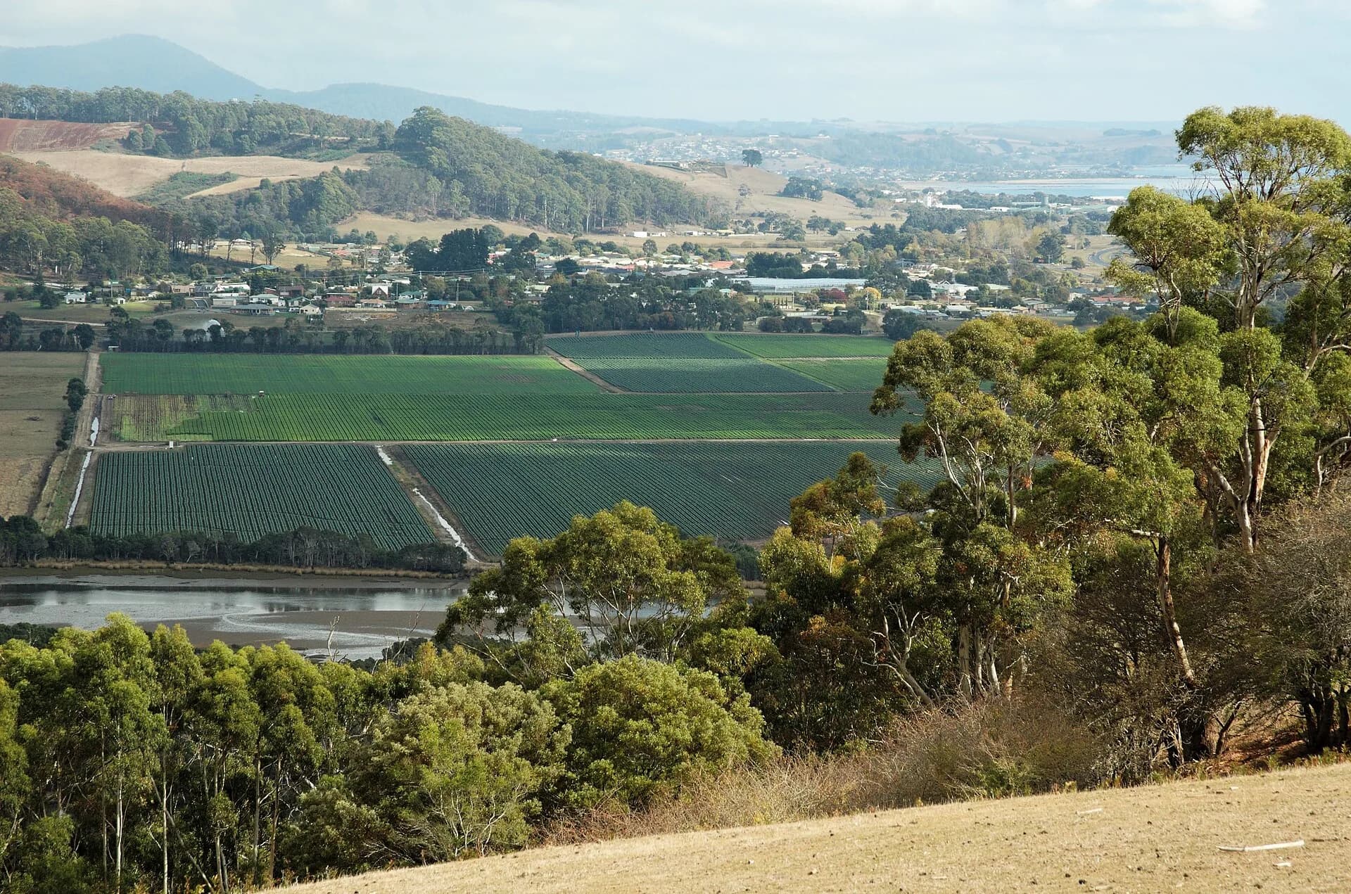

Turners Beach, Leith and Forth form a small district between Devonport and Ulverstone. The Forth River reaches Bass Strait between Turners Beach on the west and Leith on the east, while the village of Forth sits inland in a fertile valley.
Choose the coast or valley
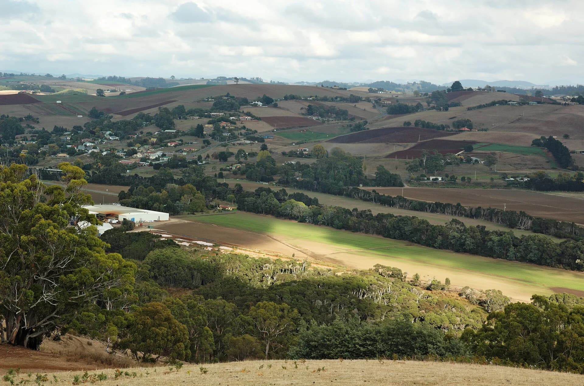
Turners Beach has a long shore and direct access from the old coastal road. Leith’s quieter beaches sit across the river mouth. Inland, the Forth valley changes quickly from estuary flats to steep, productive country.

Check water and beach conditions
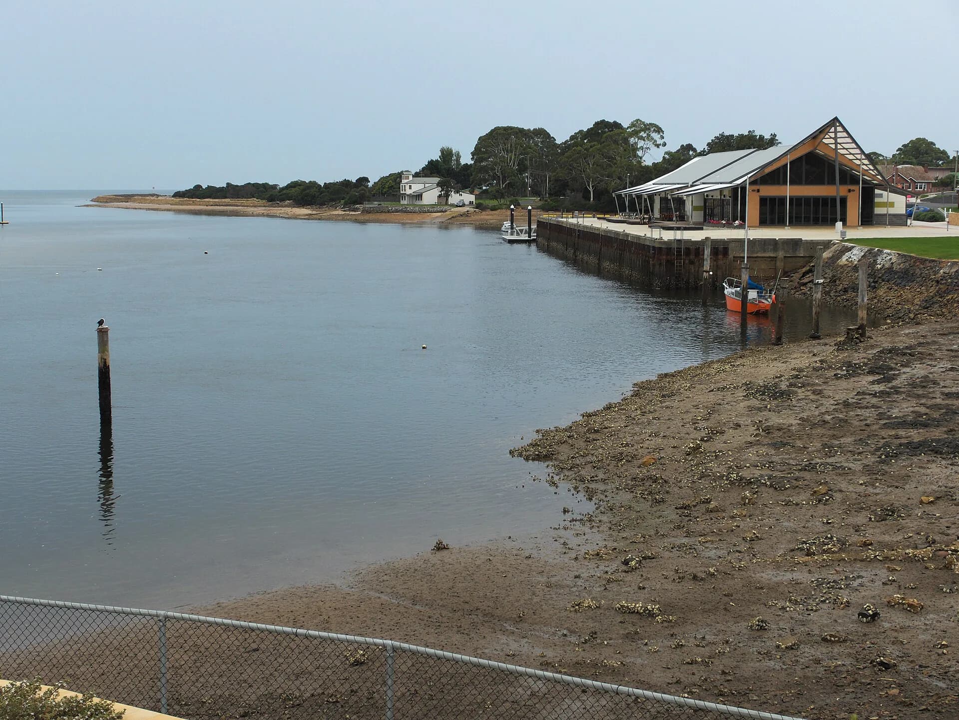
The river mouth can carry strong flow and shifting sand. Beaches are not always patrolled, so assess wind, swell and water quality rather than treating calm-looking water as safe. Council dog rules differ by section and can change.

Slow down off the highway
Local roads serve farms, homes and recreation areas. Use formed parking, expect cyclists and agricultural vehicles, and do not stop on narrow bends for valley photographs.
.jpg)
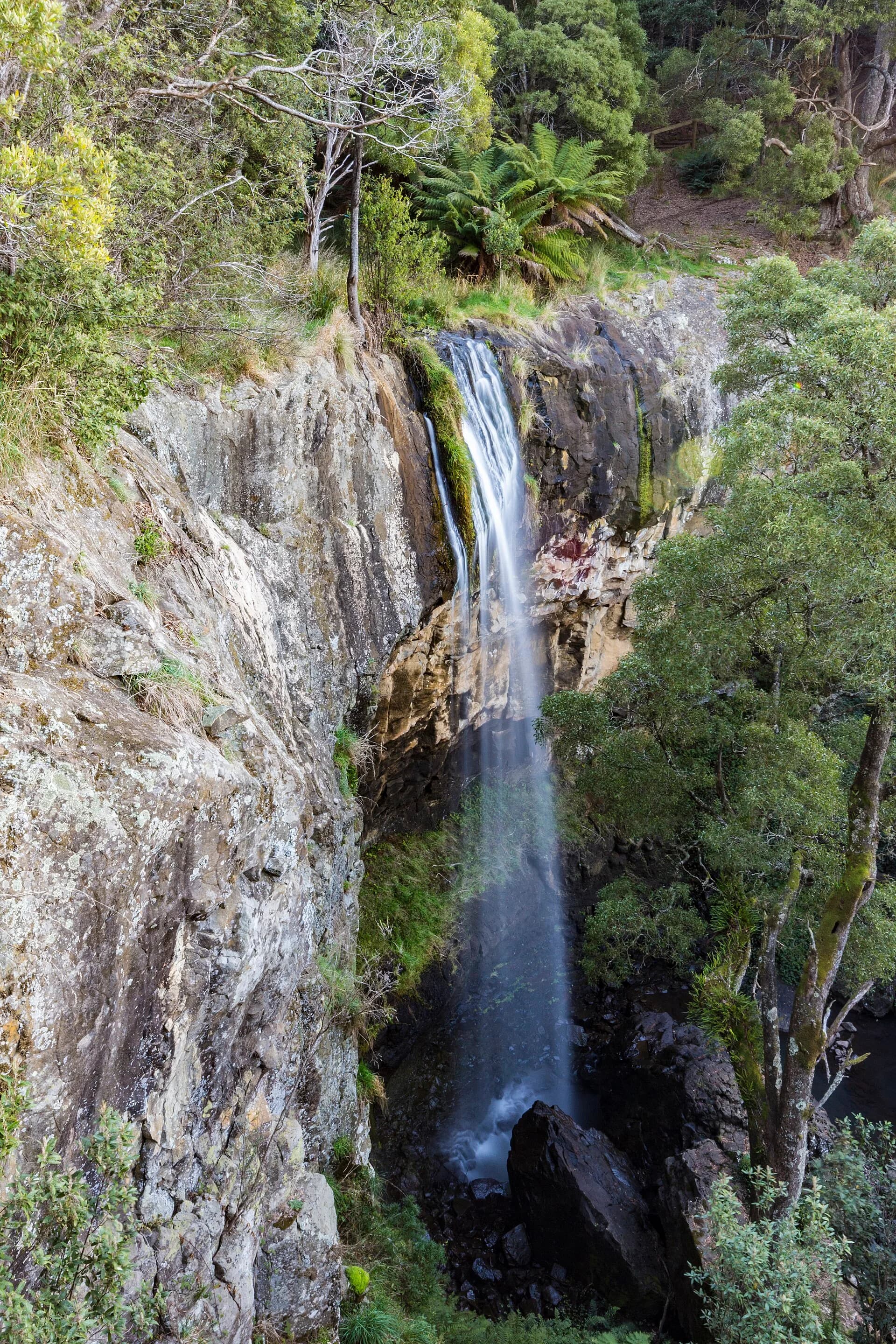
The Central Coast hinterland guide continues through Gunns Plains and Preston. For regional history and longer routes, start with the North West Tasmania guide.