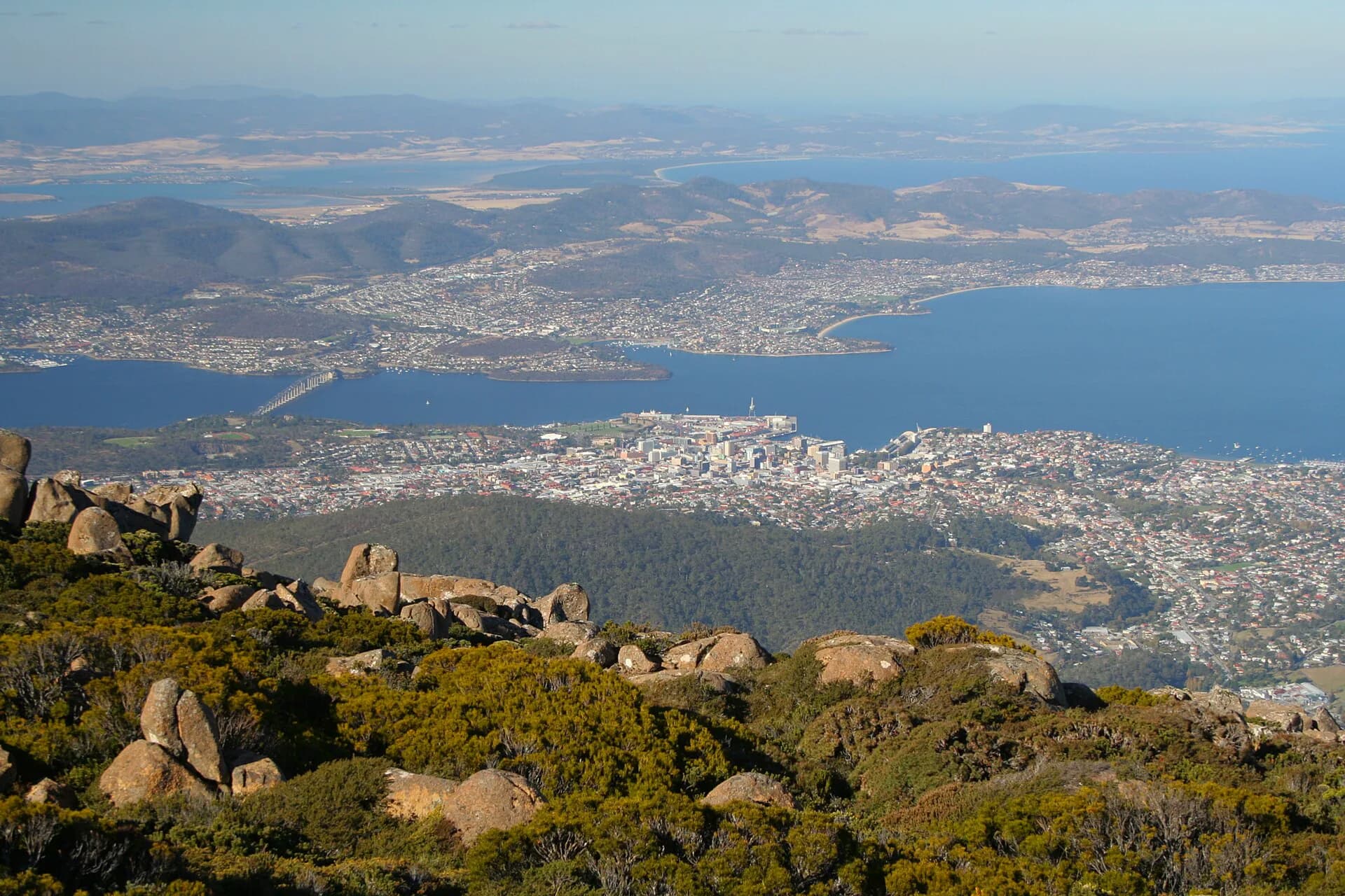

Hobart occupies a compact centre around Sullivan’s Cove, with suburbs extending along timtumili minanya / River Derwent and into foothills below kunanyi / Mount Wellington. The city is small enough to explore on foot, but the harbour, mountain and outer neighbourhoods reward more time than a quick waterfront stop.
Begin at Sullivan’s Cove
The cove is the clearest place to understand Hobart’s geography. Constitution Dock, Franklin Wharf, Hunter Street and Salamanca Place sit within an easy walk, while the central business district rises behind them. Working port activity, ferries, fishing boats, museums and public spaces share the waterfront.
Walk around the cove before choosing a museum or longer route. It gives useful bearings and makes the later history easier to follow. The Tasmanian Museum and Art Gallery presents natural history, art and cultural collections, while the Maritime Museum of Tasmania concentrates on the island’s relationship with the sea.

Country, colonisation and the shape of the city
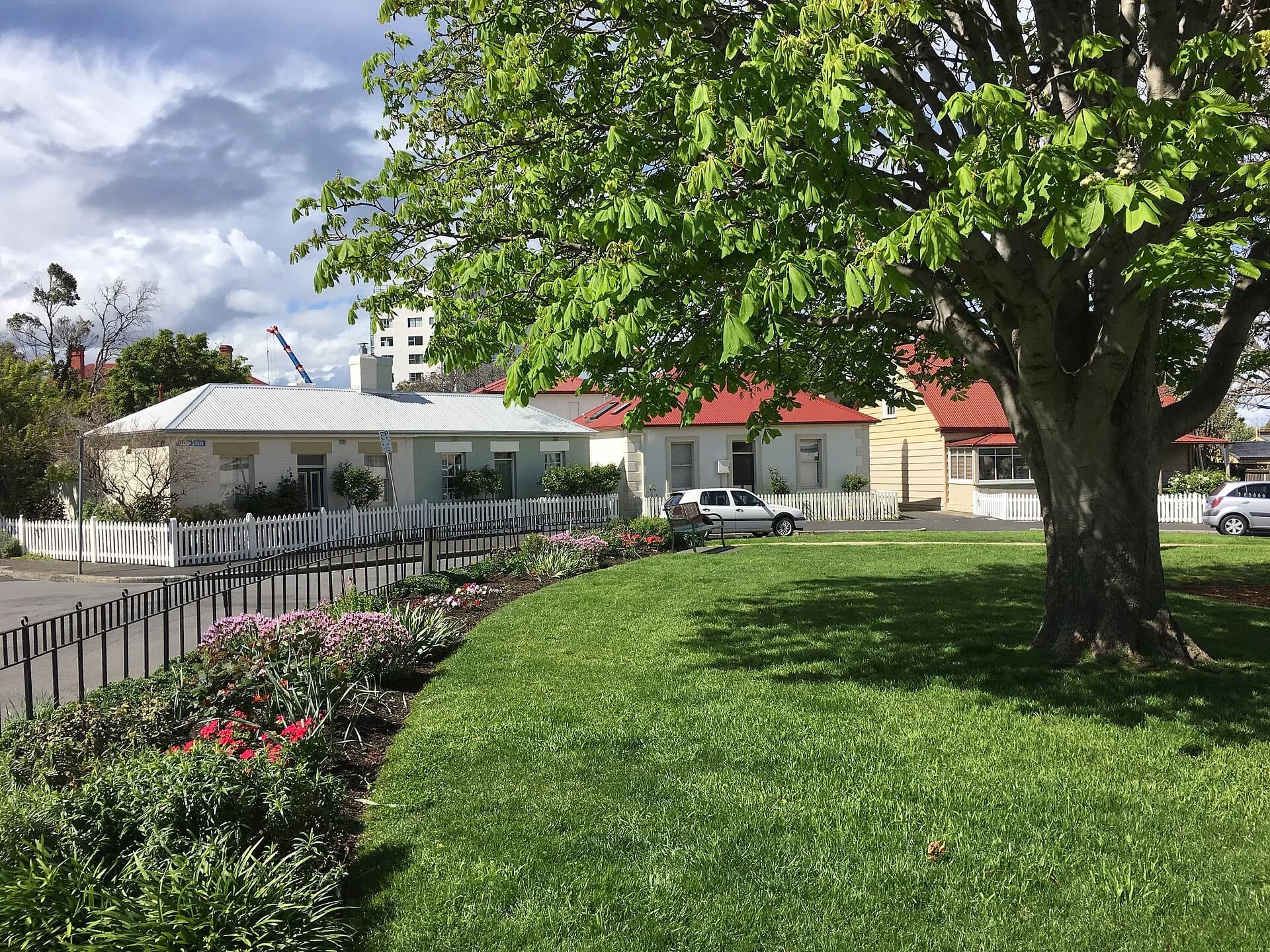
nipaluna is on the Country of the Muwinina people. The river, mountain and sheltered cove formed an Aboriginal cultural landscape long before British occupation in 1804. Colonial expansion brought dispossession and violence, while convict labour supported roads, buildings and institutions across the growing town.
The early settlement depended on watercourses that now seem minor or partly hidden. Read the Hobart rivulets guide before walking through lower Collins Street or South Hobart. It explains how water supply, mills, flooding and later engineering shaped the street pattern.
Salamanca and Battery Point
Salamanca’s sandstone warehouses face the lawns of Salamanca Place. On Saturdays the market changes pedestrian movement and parking across the precinct, so arrive early or walk from central accommodation. Outside market hours, the buildings, lanes and waterfront remain worth exploring.
Battery Point climbs immediately behind Salamanca. Kelly’s Steps provides a direct pedestrian link, while Arthur Circus and Hampden Road lead through a mix of public streets, businesses and private homes. The area is lived in, not an open-air museum. Stay on public routes and respect residential buildings.

Choose museums by interest
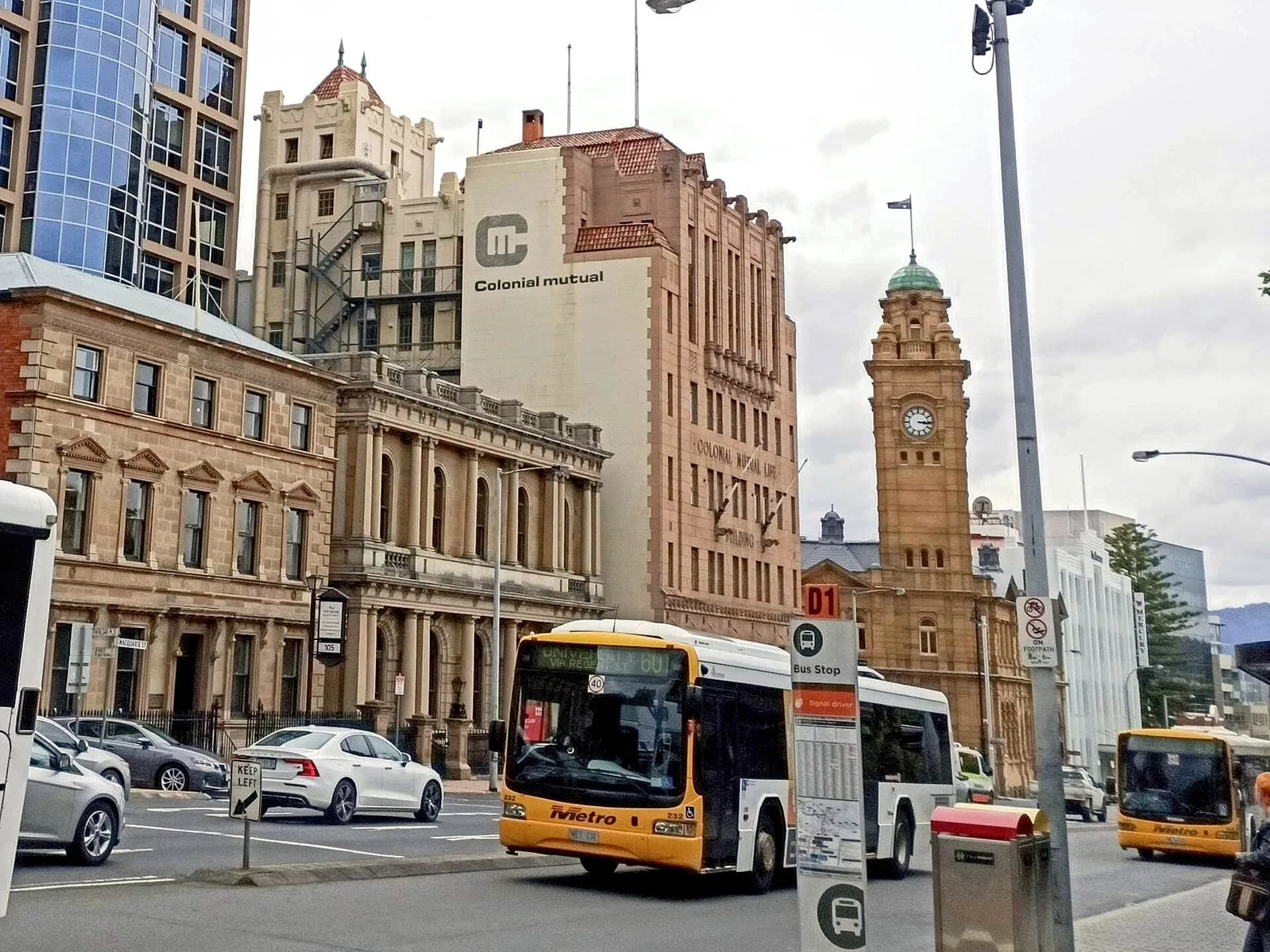
Hobart has more indoor options than can fit into one wet afternoon. TMAG is the broad starting point. The Maritime Museum suits shipping and waterfront history. The Cascades Female Factory Historic Site in South Hobart interprets the experiences of convict women and forms part of the Australian Convict Sites World Heritage property.
MONA is upriver at Berriedale and needs a separate block of time. Ferry and road access create different visits, so check current sessions and transport before going. It is better treated as a half-day destination than squeezed between central sights.
Parks, foreshore and neighbourhoods
The Royal Tasmanian Botanical Gardens and Queens Domain sit north of the centre. The Domain combines paths, sporting facilities, memorial landscapes and river views. Farther south, Sandy Bay and the Derwent foreshore provide beaches and walking sections, though water conditions and weather remain distinctly Tasmanian.
North Hobart has independent cinemas and a busy restaurant strip. Moonah presents a different suburban centre, while Bellerive and Rosny sit across the river. These areas are useful when you want to see Hobart as a working city rather than move only between visitor landmarks.

kunanyi / Mount Wellington is a mountain visit
The summit is close in distance but more than 1,200 metres above sea level. Temperature, wind, cloud and road conditions can be very different from the waterfront. Check the City of Hobart’s current mountain information and the Bureau of Meteorology forecast before leaving.
Allow flexibility. On a poor-weather day, lower tracks and foothill reserves may be the better choice. On a clear day, the summit road and lookouts still require warm clothing and careful driving. Snow, ice and strong wind can affect access.
Getting around Hobart
Central Hobart is walkable, with hills, steps and uneven historic surfaces in some precincts. Metro Tasmania operates the main bus network. Passenger ferries serve selected cross-river journeys, and regional buses connect some towns, but services should be checked before committing to a day trip.
If staying centrally, plan waterfront and museum days without a car. Group drives by direction: Richmond and the Coal River Valley to the north-east, the Tasman Peninsula to the south-east, and the Huon Valley or Bruny Island to the south. This reduces backtracking through city traffic.
A useful two-day plan
On the first day, walk Sullivan’s Cove, Salamanca and Battery Point, then choose one central museum. Use the second day for the Botanical Gardens and Queens Domain, kunanyi if conditions are suitable, or a deeper visit to South Hobart and the Female Factory.
Four or five nights creates room for neighbourhoods and one regional day without turning Hobart into a nightly transit stop. For a longer southern stay, connect this guide with regional drives from Hobart and walks around Hobart.