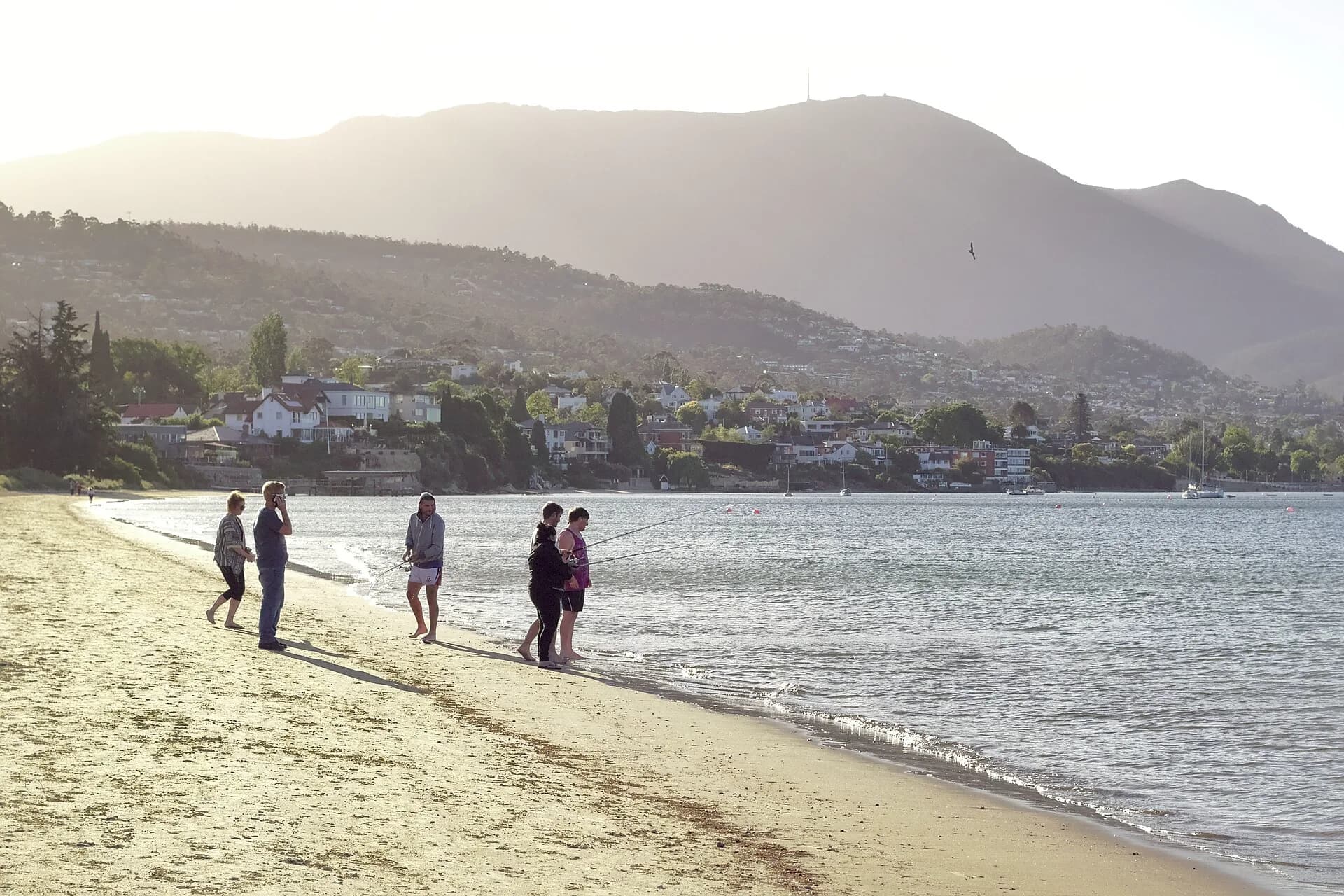

Sandy Bay begins close to central Hobart and stretches south along the western shore of the River Derwent. It is both a residential suburb and a sequence of distinct waterside places: the shopping strip near the city, the university precinct, Wrest Point, Lower Sandy Bay and the beaches around Nutgrove and Long Beach.
Visitors often pass through on the way to Kingston or the Channel. It is worth slowing down. The foreshore gives broad views across the estuary, while parks, military remains and changing residential architecture reveal how Hobart expanded beyond Battery Point.
The shape of the suburb
Sandy Bay Road follows the shoreline closely before climbing around points and coves. The City of Hobart's heritage study identifies this winding relationship between road, slope and water as central to the area's character. Larger nineteenth and early twentieth-century houses took prominent sites above the road or faced the river from the lower side. Later subdivisions filled former estates and farms.
The result is not one uniform heritage precinct. Commercial strips, apartment buildings, university facilities, Federation houses and postwar homes sit close together. The steep cross streets repeatedly open views to the Derwent and eastern shore.

Long Beach and Nutgrove
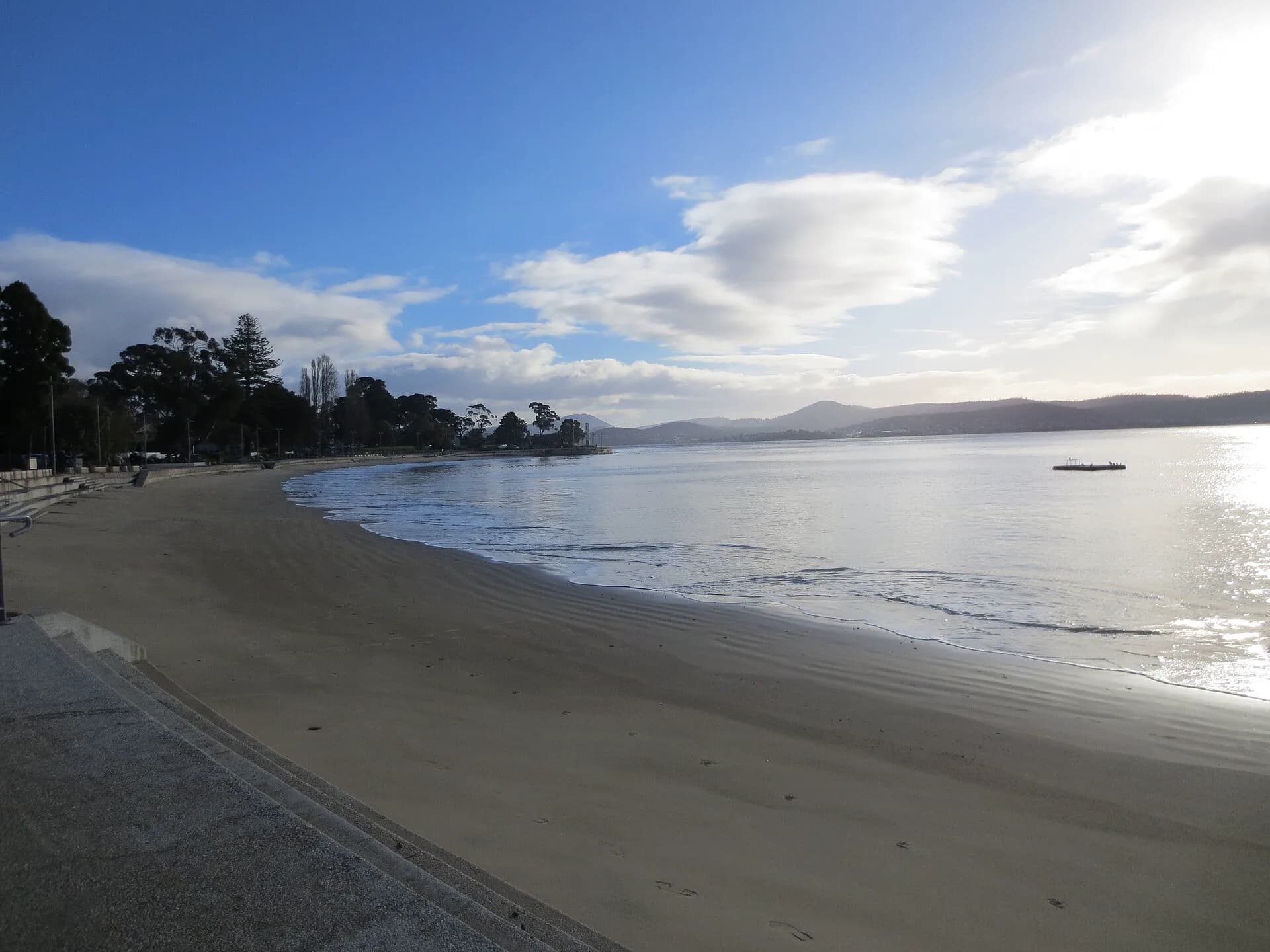
Long Beach Reserve is the most useful public starting point. It has a beach, lawns, play areas and a foreshore path connecting towards Nutgrove. Little Sandy Bay and the sheltered edge near the yacht clubs have a different scale from the exposed lower estuary farther south.
The water may look calm, but conditions and water quality vary. Use current council signs and public-health advice before swimming. The foreshore path is shared, so cyclists should slow around busy lawns and narrow sections.
Interpretation around Long Beach describes naturalist Charles Darwin walking along this shore during the Beagle visit in 1836. It also records the area's maritime trade and the defensive searchlights once positioned near Blinking Billy Point.
Alexandra Battery and defence of the river
Alexandra Battery was part of a late nineteenth-century system intended to defend approaches to Hobart. Its position above the river gave artillery and searchlights a commanding field of view. After responsibility for defence passed to the Commonwealth, the system was adapted and later superseded.
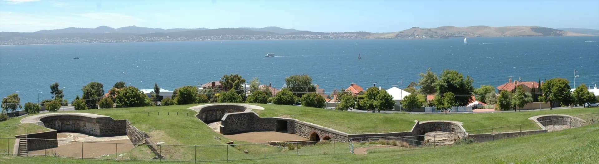

The surviving earthworks and structures are best understood as part of a network that included batteries and observation points elsewhere around the estuary. Stay to public paths and respect barriers. Military sites contain drops, concealed edges and fabric that can be damaged by climbing.
Architecture beyond the colonial period
Sandy Bay is useful for seeing Hobart's twentieth-century architecture. On the higher slopes, Dorney House occupies the former Fort Nelson site. Architect Esmond Dorney's experimental modern work sits in a landscape now managed by the City of Hobart. Public access is limited to advertised openings and events, so check council information rather than assuming the building is open.
The University of Tasmania's Sandy Bay campus also changed the suburb's growth, transport and housing. Plans for university sites continue to evolve. Treat campus access, construction and venue information as current operational matters and check directly before visiting for a specific building.
Walking the foreshore
A simple visit can begin at Wrest Point or Long Beach, continue through Long Beach Reserve and Nutgrove, then return the same way. The route is mostly level, but there are interruptions and street crossings. For a longer urban walk, connect north towards Battery Point or south towards Taroona where public paths allow.
Morning and late afternoon often bring clear light across the river. The names of the River Derwent gives context for the points, bays and beaches in view. Hobart's rivulets explains the smaller waterways that run down from the mountain through the city, including Sandy Bay Rivulet.
Getting there and finding essentials
Sandy Bay is immediately south of Hobart's centre. Metro Tasmania buses use Sandy Bay Road, but route numbers and timetables change, so plan through the current Metro journey tool. Parking is limited around popular foreshore areas on warm days. Walking or public transport is often easier for the northern part of the suburb.
Shops and food are concentrated near the northern Sandy Bay retail strip, with smaller groups farther south. Long Beach Reserve has public facilities, but availability can change during works or events. The City of Hobart facility page is the best source for current details.