.jpg)
Greater Hobart has no single walking network. City reserves, mountain tracks and long foreshore paths are managed by different councils and trusts, so route grades, dog rules, closures and surfaces vary from one side of the Derwent to the other.
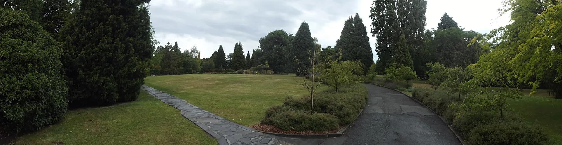
Walk from the city into the Queens Domain
The Queens Domain has short bushland and heritage circuits within walking distance of central Hobart. Soldiers Memorial Avenue, the summit area and Cornelian Bay can be linked in several ways. Use the City of Hobart map because informal tracks can make the reserve appear simpler than it is.
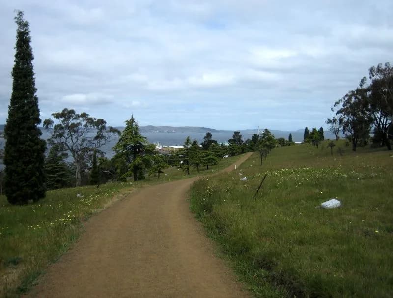

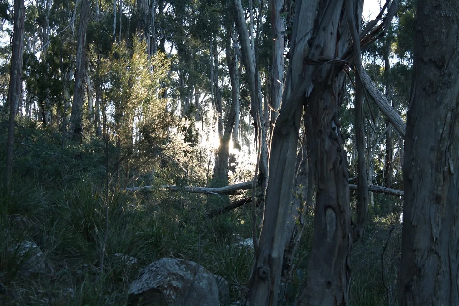
Knocklofty Reserve above West Hobart provides open forest, city views and a network of fire trails and narrower tracks. Select a signed circuit and keep enough energy for the climb back to the starting street.

Use the foreshore for an easier day
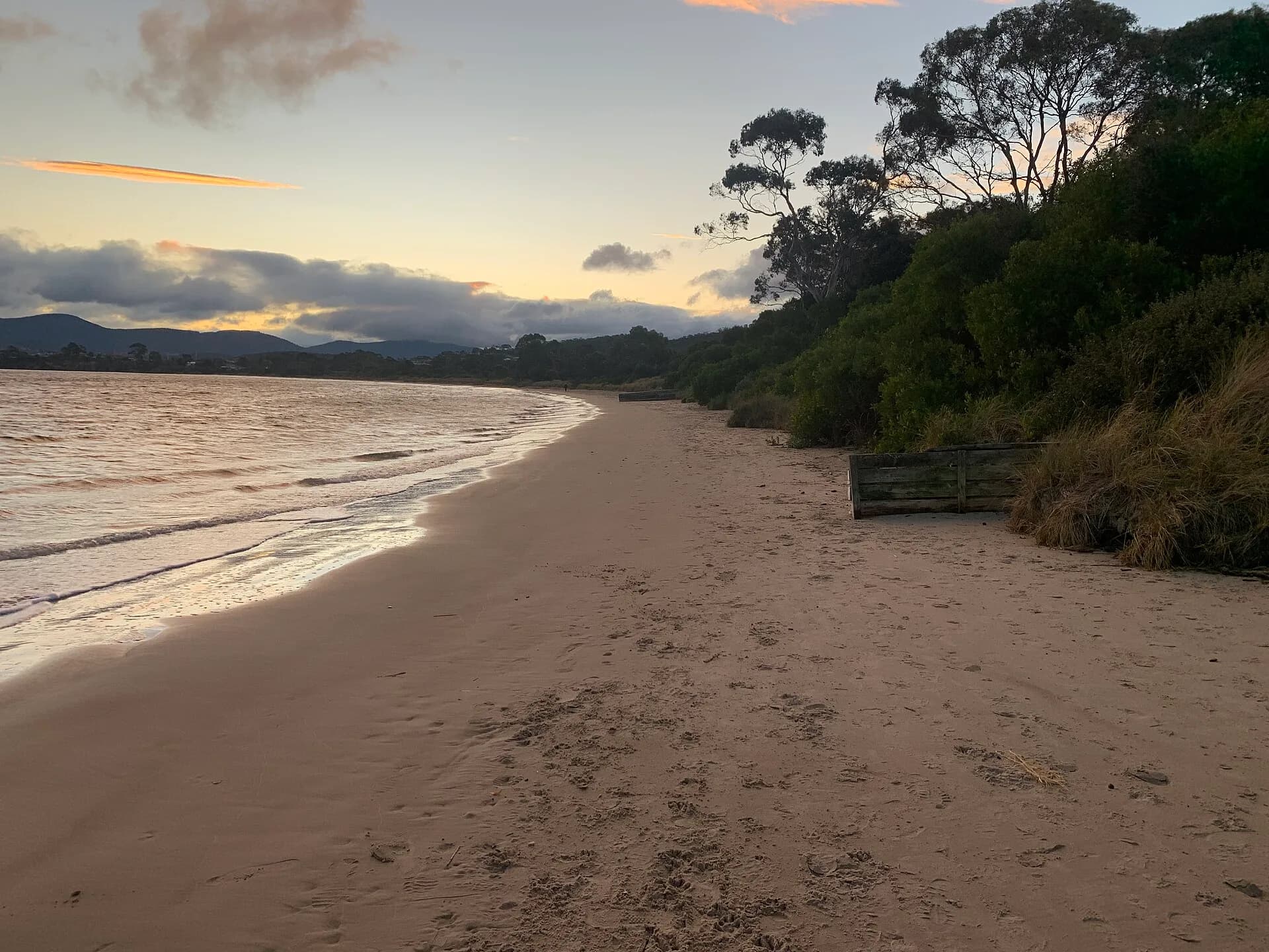
The Clarence Foreshore Trail follows about 14.5 kilometres between Geilston Bay and Howrah, with easy walking and cycling grades. Its surface ranges from broad concrete to narrower gravel. Break it into bayside sections rather than assuming every visitor needs the full distance.

Glenorchy’s Intercity Cycleway and Derwent foreshore reserves provide other level choices. These are shared paths, so keep left, control dogs and expect bicycles.
Mountain tracks require a different plan
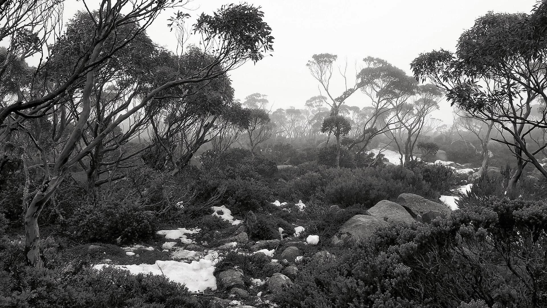
The Pipeline Track offers a relatively gentle route from Fern Tree along the lower slopes of kunanyi / Mount Wellington. Higher tracks can involve steep rock, snow, wind and rapid temperature change. A closed Pinnacle Road does not mean the walking tracks are closed, but it can change access and emergency response.
,_Tasmania.jpg)
Check the live track or road status, carry layers and select a route that matches the least experienced walker. The kunanyi / Mount Wellington guide, Hobart Rivulet and Hobart parks provide more focused choices.