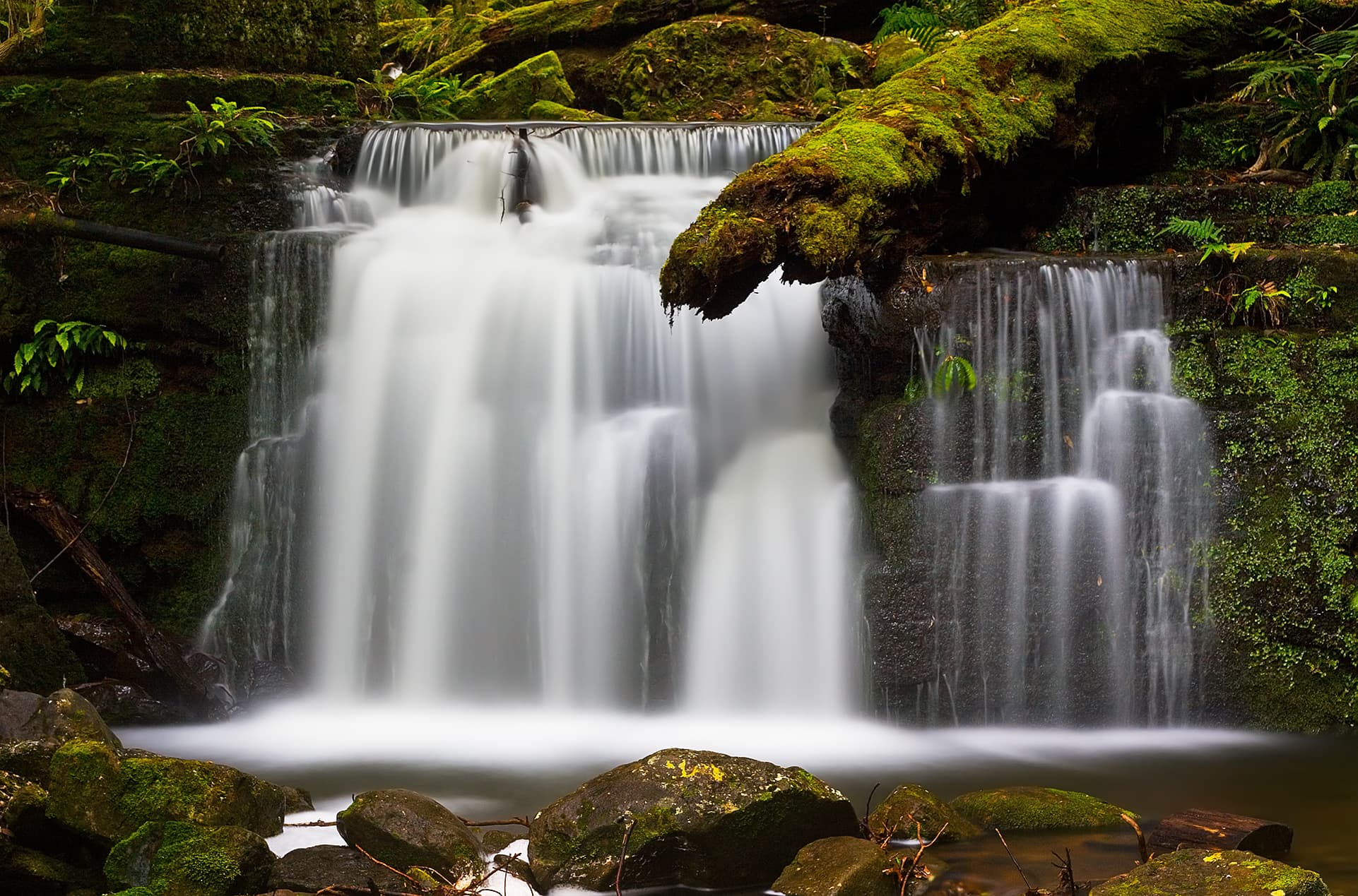

Where the rivulet runs
Hobart Rivulet drains from kunanyi / Mount Wellington through South Hobart and then under the city to the River Derwent. In places it is an open, visible stream; in others it is piped under streets and buildings. Blue paint and public art mark sections where the rivulet flows beneath Collins Street, helping people follow the hidden waterway as it passes through the CBD.
Following the Riv5 track
The commonly used, measured return route is 5 km. The route is described as beginning at the car park by the Hamlet Café on Molle Street and running about 2.5 km to the Cascade Gardens before returning. The course is waymarked: there are signs for kilometre points and start and turning points, which helps navigation and pacing.
Along the way you pass former industrial areas, the Cascades Female Factory precinct and the Cascade Brewery façade at the turning point. Some people use GPS watches or apps; Council notes those devices can report a slightly shorter distance than the measured course because the official measurement keeps to designated walking paths and safe crossings.
Sharing the path safely
The active corridor is a shared-use space for walkers, runners and riders. The path can be narrow in places. Keep left and use the safe road crossings shown on the track. Cyclists and pedestrians must give way to each other as signposted; pedestrians should also take care when crossing separated cycle lanes.
Dogs are permitted on the track subject to the current local rules; keep dogs on a lead where required. The route has seating, shade trees and public toilets at specified points, and parts of the track have universal access, making the route suitable for a wide range of fitness and mobility levels.
Wildlife and habitat restoration
The rivulet supports a variety of aquatic and riparian wildlife. Platypus are present in the waterway and are commonly sighted in summer; they use burrows along the banks. Watch quietly and avoid disturbing the animals. Entering the water channel to search for wildlife is unsafe and not permitted.
The City of Hobart is running a restoration program to improve riparian habitat. The project targets major weed infestations such as blackberry, broom and gorse, and plans large-scale native planting to stabilise banks and build habitat. Contractors will be used for steep or hazardous sections and plantings will return a native understory and tree canopy. These works are staged and may affect access in places as crews treat weeds and plant new vegetation.
Where the rivulet goes under the city
Below Molle Street the rivulet enters culverts and runs beneath central streets. These tunnels and drains are not public walking routes and are unsafe. Surface markers and artworks help people trace the course across the CBD instead of attempting to enter underground sections.
The Collins Street improvements have been designed to highlight the rivulet connection into the city. Treatments include painted blue paving where the rivulet crosses under Collins Street and other visual cues. The Collins Street plan is a trial of street design changes intended to better link the CBD to the Rivulet Track and make active travel easier.
Street trials and practical changeability
Council has introduced a series of trial changes along Collins Street to improve cycling, walking and street life. These include separated cycle lanes, a new zebra crossing, streetside dining areas and lower speed limits on sections of the street. The trial is being monitored and reviewed, so specific treatments and parking arrangements may change over time. One part of the project that was approved later is due to be rolled out in a later stage of the trial. If you plan to arrive by car, expect changes to on-street parking and an increase in accessible parking spaces in the area.
Practical checks before you go
-
Confirm current access and parking arrangements before arrival. Trial street changes can affect on‑street parking and loading bays. Public car parks remain available nearby.
-
Expect shared use and narrow sections: keep left, respect other users and use safe crossing points shown on the route.
-
If you want to see wildlife, visit quietly and keep clear of the water. Do not enter culverts, drains or the rivulet channel.
-
Be aware restoration work may be happening in parts of the rivulet. Contractors will treat weeds and plant native species in steep or hazardous areas; this can alter access and the look of the banks until plantings establish.
-
Check dog regulations before you go. Dogs are allowed under local rules; leash requirements apply in designated areas.
-
If using GPS or run-tracking apps, note the official course is measured by following the walking path and designated crossing points, which can make device readings differ slightly from the 5 km measurement.
Where practical, plan your Riv5 walk or ride as a short outing that links natural values, city history and the changing urban design along Collins Street. The combination of visible stream, underground sections and active restoration work makes the rivulet a small but evolving city corridor worth exploring carefully.