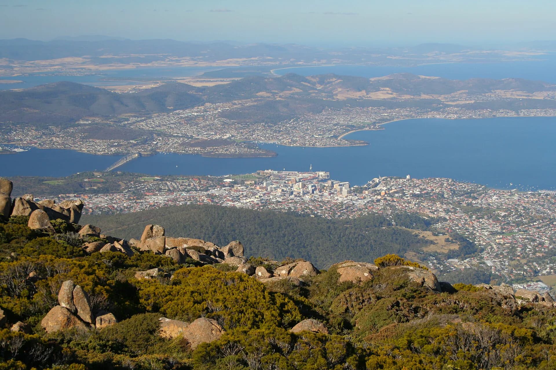

A city timeline is useful only when it shows connections. Hobart’s buildings, streets and waterfront were shaped by Aboriginal dispossession, convict labour, government decisions, private enterprise, disasters and everyday community work.
Before 1804: Country and the river
The Mouheneenner people lived around nipaluna and timtumili minanya / River Derwent for countless generations. The river, foothills and mountain formed a connected cultural landscape. British occupation in 1804 disrupted those relationships through land seizure and violence, but Aboriginal people and culture survived.
1804: settlement at Sullivan’s Cove
David Collins moved the British settlement from Risdon Cove to Sullivan’s Cove. The sheltered harbour and fresh water of the Hobart Rivulet influenced the choice. Government stores, camps and wharves established a pattern that still shapes the centre.
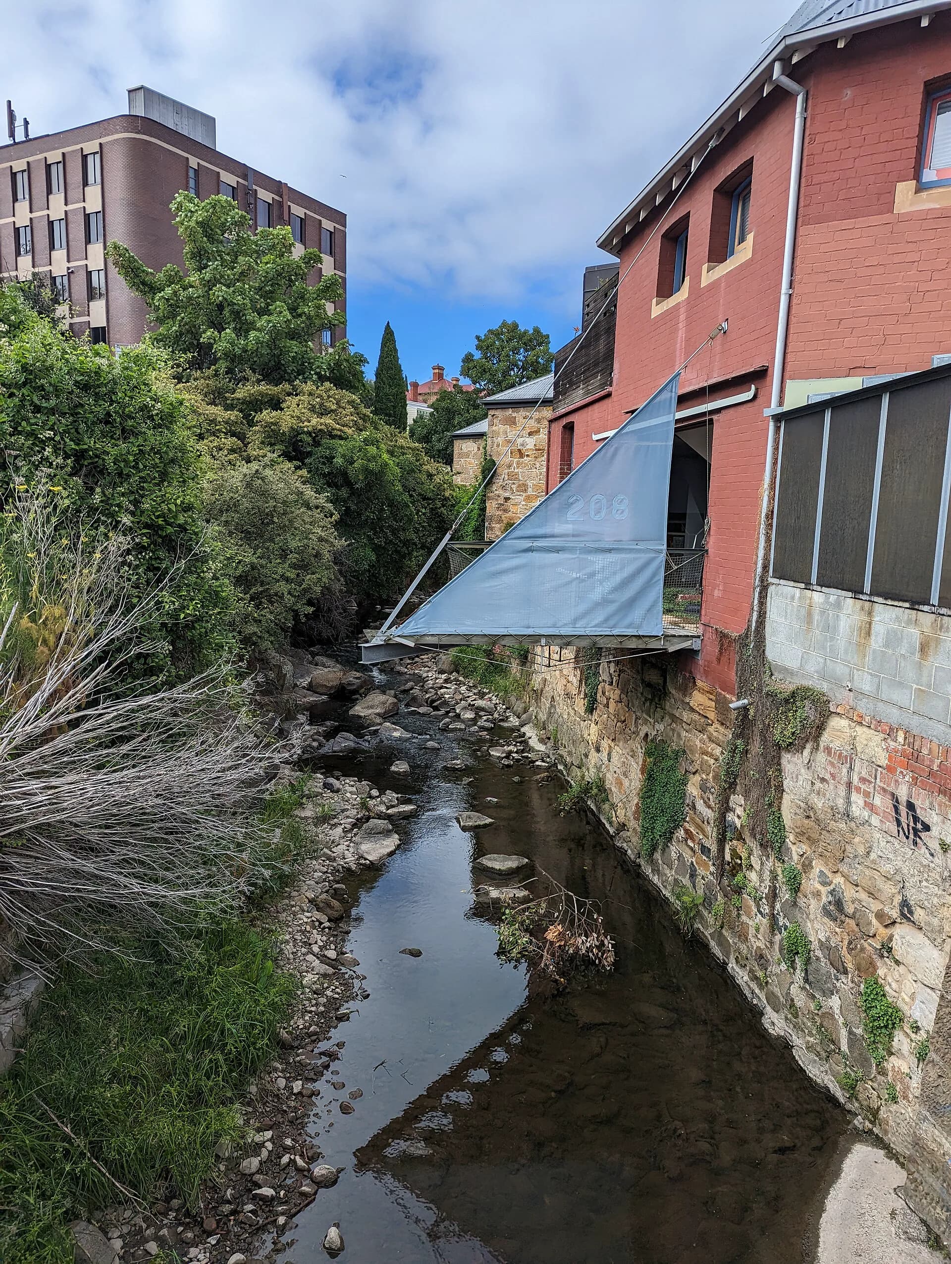

1820s to 1840s: institutions and building
Convict labour constructed roads, public buildings and infrastructure. The Cascades Female Factory, penitentiary sites and assigned labour system show that confinement reached through the city and private households. Churches, warehouses, theatres and civic institutions also appeared as the port grew.
1846 to 1853: local government begins
Town commissioners were established in 1846, initially responsible for paving, lighting and other basic services. After an early collapse, a municipal council began in 1853. Civic government gradually took on roads, drainage, health, parks and planning.
.jpg)
Late nineteenth century: a changing port
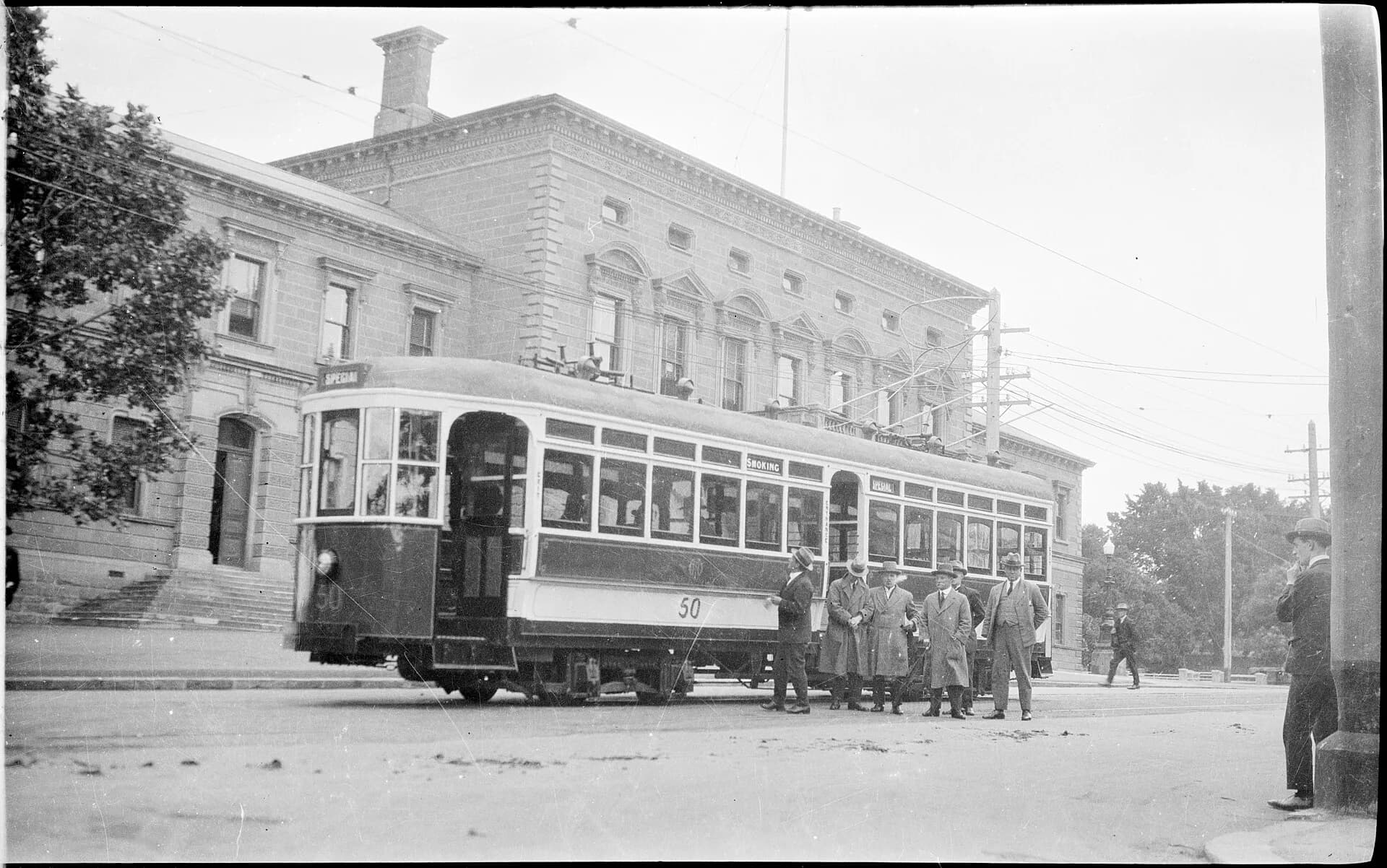
Reclamation, rail, industry and new suburbs changed Hobart’s relationship with the water. Parks and public institutions expanded. Horse transport gave way to trams, while water and sewerage infrastructure altered daily life and public health.
Twentieth century: bridges, fire and suburban growth
The floating Hobart Bridge opened in 1943 and the Tasman Bridge in 1964, accelerating eastern-shore commuting. The 1967 bushfires killed people, destroyed homes and reshaped communities around the city. In 1975, the Lake Illawarra struck the Tasman Bridge, severing the crossing and killing twelve people.
Reading the timeline on foot
The Hobart street-names guide, parks guide and rivulets guide connect these events to surviving places. A timeline cannot include every community or experience, but it can provide a tested framework for deeper local histories.