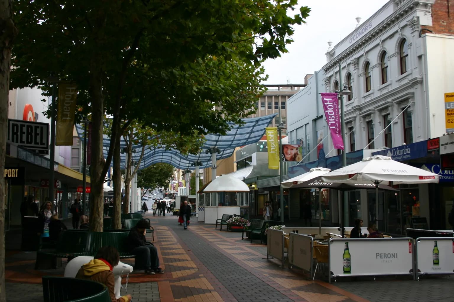

Hobart’s street names look orderly on a modern map, but the grid preserves decisions made at different moments. Some roads followed the practical needs of the first British settlement. Others were laid out as the town expanded, commemorating governors, officials and members of the British royal family. Later names record estates, industries and local geography.
A grid fitted around an older landscape
The settlement at Sullivan’s Cove was established beside timtumili minanya / River Derwent in 1804. Its first tracks connected the landing place, military stores, government buildings, the town creek and nearby camps. The City of Hobart’s thematic history explains that some early property lines and lanes still survive within the later grid.
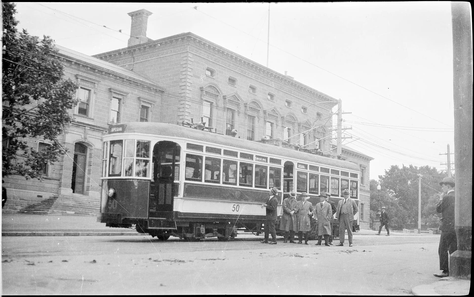
Macquarie Street became a main east-west line on rising ground behind the cove. Elizabeth Street followed the town creek inland. Murray, Collins, Liverpool, Bathurst and Campbell streets formed part of the expanding centre, but their widths, alignments and uses were never completely uniform.
.jpg)
Governors, officials and distant places
Many central names came from the colonial administration. Macquarie Street commemorates Lachlan Macquarie, governor of New South Wales when Hobart Town was still governed from Sydney. Collins Street recalls David Collins, the lieutenant-governor who transferred the settlement from Risdon Cove to Sullivan’s Cove. Davey Street and Arthur Street belong to later phases of government.
British place names and royal associations were also common. Liverpool Street refers to the Earl of Liverpool, a leading British political figure during the early colonial period. Such names made imperial power visible in the everyday address system.

Streets changed with the city
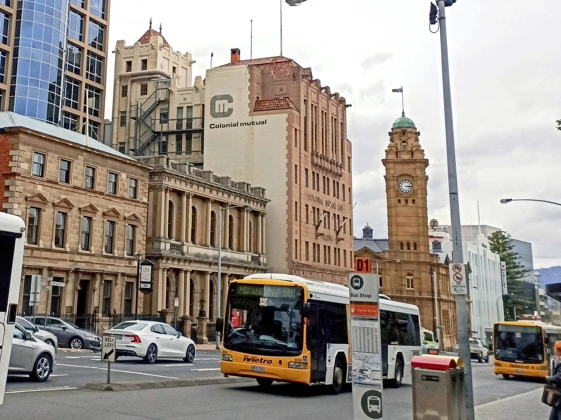
A name alone does not explain a street. Macquarie and Davey streets became major traffic corridors, while Elizabeth Street developed several distinct characters between the waterfront, retail centre, North Hobart and New Town. Reclamation shifted the practical relationship between streets and the harbour. Trams, buses and private cars changed how much space was given to movement, parking and pedestrians.
Buildings also changed their addresses as lots were subdivided or combined. Researchers should therefore match a street name with a date, cross street and property description. A business listed on Elizabeth Street in the nineteenth century may not align neatly with a current street number.
How to research a Hobart street name
Start with an official map or street record, then compare the earliest survey plans available through Libraries Tasmania and LISTmap. The City of Hobart’s thematic histories help connect the map to development patterns, while the Tasmanian Heritage Register can identify important buildings and precincts. Digitised newspapers and directories may show when a name entered common use.
Treat neat explanations with care. Several people can share a surname, spellings can shift and a later commemorative story may be attached to an older road. The strongest account states what the records show, gives the date range and leaves genuine uncertainty visible.