.jpg)
Tasmania's coast carries names from very different systems of knowledge. Aboriginal names express relationships to Country developed over countless generations. European charts added names given by Dutch, French and British navigators. Later surveyors, lighthouse authorities, fishers and residents fixed or changed local usage.
A chart is evidence, not the beginning
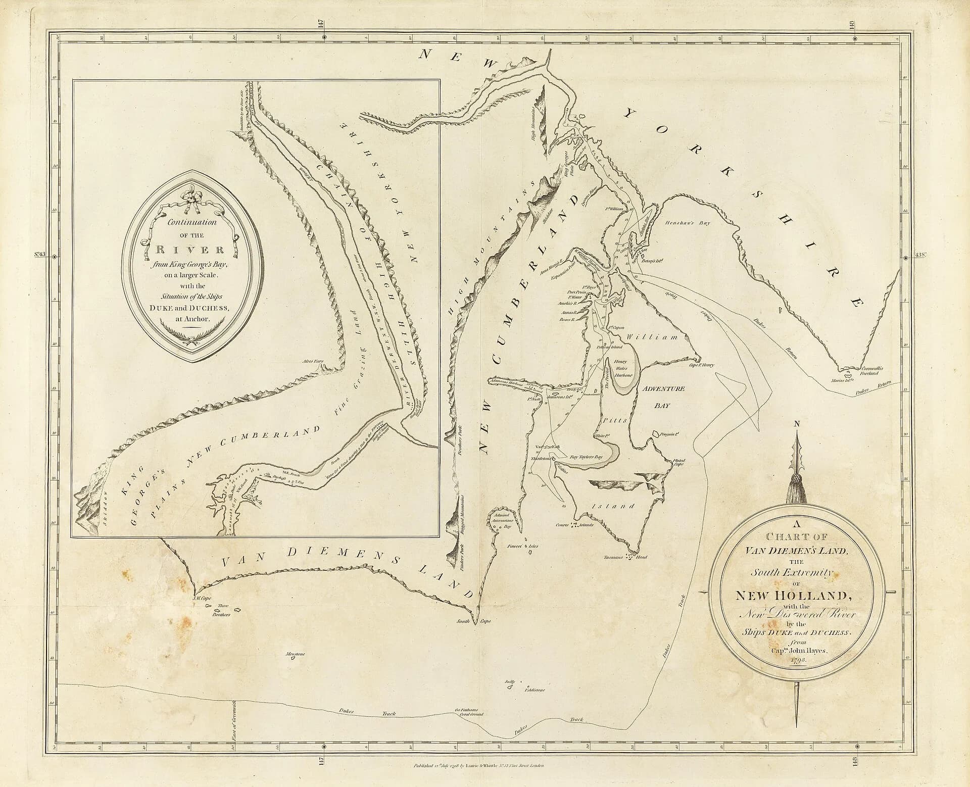
European charts can show when a name entered a particular written record. They do not mark the first naming of a place. Coastlines on those charts were already known, travelled and named by Tasmanian Aboriginal people.
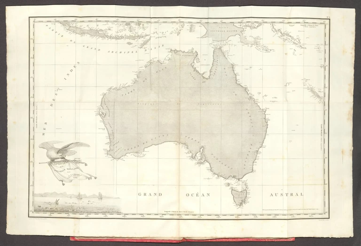
Abel Tasman's 1642 voyage placed Van Diemen's Land on European maps. Marc-Joseph Marion du Fresne, Bruni d'Entrecasteaux, Nicolas Baudin, Tobias Furneaux, James Cook, Matthew Flinders and other navigators added names in different languages and at different scales. Some survived; some were translated, moved or replaced.
.jpg)
Why names move
Early observations were made from ships with incomplete positions and limited views of the shore. A name intended for a bay could later attach to a point, island or district. Different expeditions sometimes named the same feature independently. British hydrographic charts often standardised one version as coastal surveying became more precise.
The lower River Derwent place-name guide shows this process at close range. Names around the estuary record navigation, land grants, officials, ships, industries and local descriptions. The D'Entrecasteaux Channel retains a French name, while nearby Bruny Island ultimately commemorates the same expedition commander through a shortened form.

Aboriginal and dual names
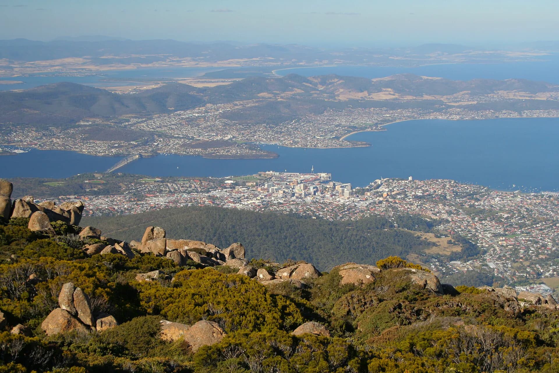
Tasmania's Aboriginal and Dual Naming Policy provides a formal process for recognising Aboriginal names. Official dual names such as kunanyi / Mount Wellington and kanamaluka / River Tamar place both names on maps and signs. The process depends on consultation and authoritative language work. Historical spellings collected by Europeans are not interchangeable with contemporary palawa kani.
Researching one coastal name
Begin with Placenames Tasmania to identify the official feature and extent. Then compare the earliest chart carrying the name with later hydrographic and cadastral maps. Voyage journals can reveal who applied a name and why, while newspapers and local records show how shore communities actually used it.


Be cautious with confident one-line explanations. Similar names, copied charts and later commemorations create ambiguity. A responsible account identifies the source and date, separates documented naming from tradition, and leaves uncertainty visible.