
Where the park lies and how it is arranged
Tasman National Park protects separate sections of the Tasman and Forestier peninsula coasts rather than forming a single, contiguous area with one entrance. Expect independent access points linked by local roads. The park sits on the Tasman Peninsula, within a driveable distance from Hobart on sealed roads, but sections are reached by minor roads once you leave the main arterials.
Eaglehawk Neck and the easy coastal attractions
The north‑eastern strip around Eaglehawk Neck contains accessible geological features such as Tasmans Arch, Devils Kitchen, the Blowhole and Remarkable Cave. These sites are close enough to car parking that you can view them with short walks from the roadside, but roads and parking near these attractions are limited and infrastructure can be affected by closures. Keep plans flexible and expect to change which site you visit if a particular carpark or boardwalk is closed.
Fortescue Bay: camping, access and Cape Hauy
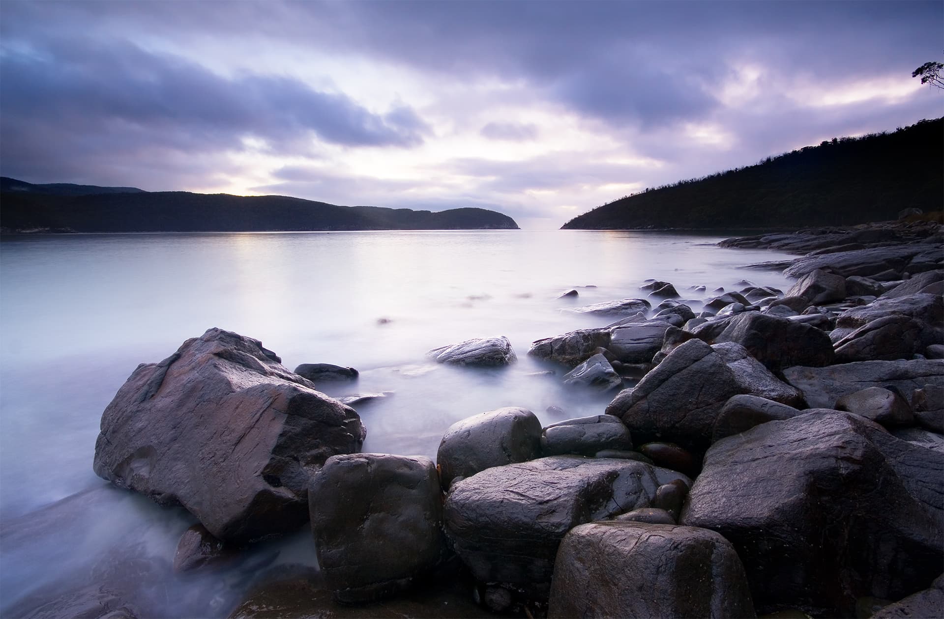
Fortescue Bay is one of the park’s principal visitor hubs. The last stretch of road into the bay includes about 12 kilometres of unsealed surface. That access road can be rough at times, so check vehicle suitability and drive slowly. Fortescue Bay provides a campground and a trailhead for several coastal walks, including the route to Cape Hauy.
Cape Hauy is commonly done as a day walk. It is graded as a moderate coastal walk and typically takes several hours return. The route includes sustained steps and exposed cliff sections that require comfortable fitness and surefootedness. If you intend to camp at Fortescue Bay, bookings are administered through Parks and Wildlife Service; check availability before you travel.
Cape Raoul and southern coastal routes
Cape Raoul lies in the southern sector and is approached via Stormlea. It is a longer, more demanding day walk than Cape Hauy and is graded at a higher difficulty level. Southern park roads and individual sites such as Remarkable Cave sit on separate access routes; plan travel times accordingly because the geography means you cannot loop the whole park in a single short visit.
The Three Capes Track and viewing the sea cliffs
The park contains some of Australia’s highest sea cliffs and features along the Three Capes coastline. The multi‑day Three Capes Track operates as a distinct, managed route and is described as an award‑winning multi‑day walk. If you prefer to see the cliffs without multi‑day walking, many shorter coastal tracks reach cliff top viewpoints and there are options to view the formations from boats or kayaks.
Prepare, safety checks and changing conditions
A valid parks pass is required to visit Tasman National Park. Conditions that alter access include weather, wind, planned burns, fire danger and track maintenance. On the day of travel check the parks alerts feed and current fire information from the State fire authority since closures and bans may apply. Planned burns or fire bans can affect access at short notice.
Carry adequate water and warm, waterproof layers even on a summer day because coastal Tasmanian weather can change quickly. Sun protection remains important when conditions are calm. Bring a map for the peninsulas; a local TasMap covering the Tasman Peninsula is recommended. Stay well behind safety barriers and move back from unprotected cliff edges. Do not underestimate exposure on cliffside sections and avoid the edge during high winds or if the track is wet or icy.
If you are planning a multi‑day itinerary, check whether overnight walker registration applies to your chosen track and confirm campsite or hut bookings in advance.
Suitability, fitness and what to expect on the tracks
Walk grades vary across the park. Short coastal sights around Eaglehawk Neck are suitable for most visitors and families when standard safety precautions are observed. Cape Hauy suits walkers with moderate fitness and experience with steps and exposed sections. Cape Raoul requires greater endurance and is best for experienced day walkers. Boat or kayak trips are available for people who want cliff perspectives from the sea, but those activities have separate suitability and safety considerations.
Practical planning tips
Expect limited parking at popular viewpoints and be prepared to change plans if a site is closed. Allow extra time for the unsealed road into Fortescue Bay when budgeting travel time. Book Fortescue Bay campground pitches in advance through Parks and Wildlife Service. Buy a local TasMap or other up‑to‑date map for the peninsula and check the parks alerts the morning you travel.
Visiting Tasman National Park is a matter of picking an access area and matching the walk to your time, weather and fitness on the day. With the right checks and clothing, the park’s coastal scenery and geological features can be explored in short visits or as part of longer walks.