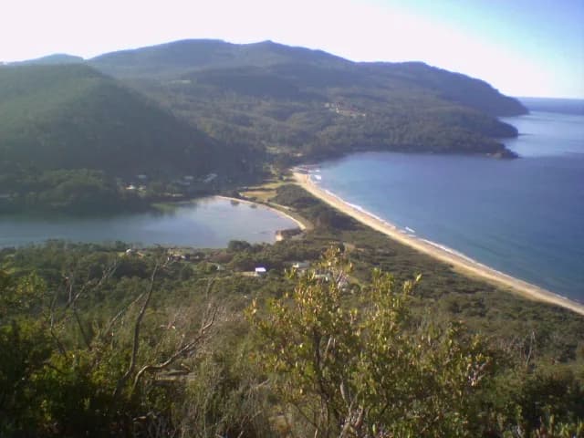

The Forestier Peninsula begins south of the Denison Canal at Dunalley and narrows again at Eaglehawk Neck. Murdunna, Sommers Bay and scattered coastal settlements sit among forest, farms and sheltered inlets.
Travel through, then slow down
The Arthur Highway is the only through-road to the Tasman Peninsula. It is winding in places and shared with residents, freight and wildlife. Allow time for traffic and stop only in formed areas.
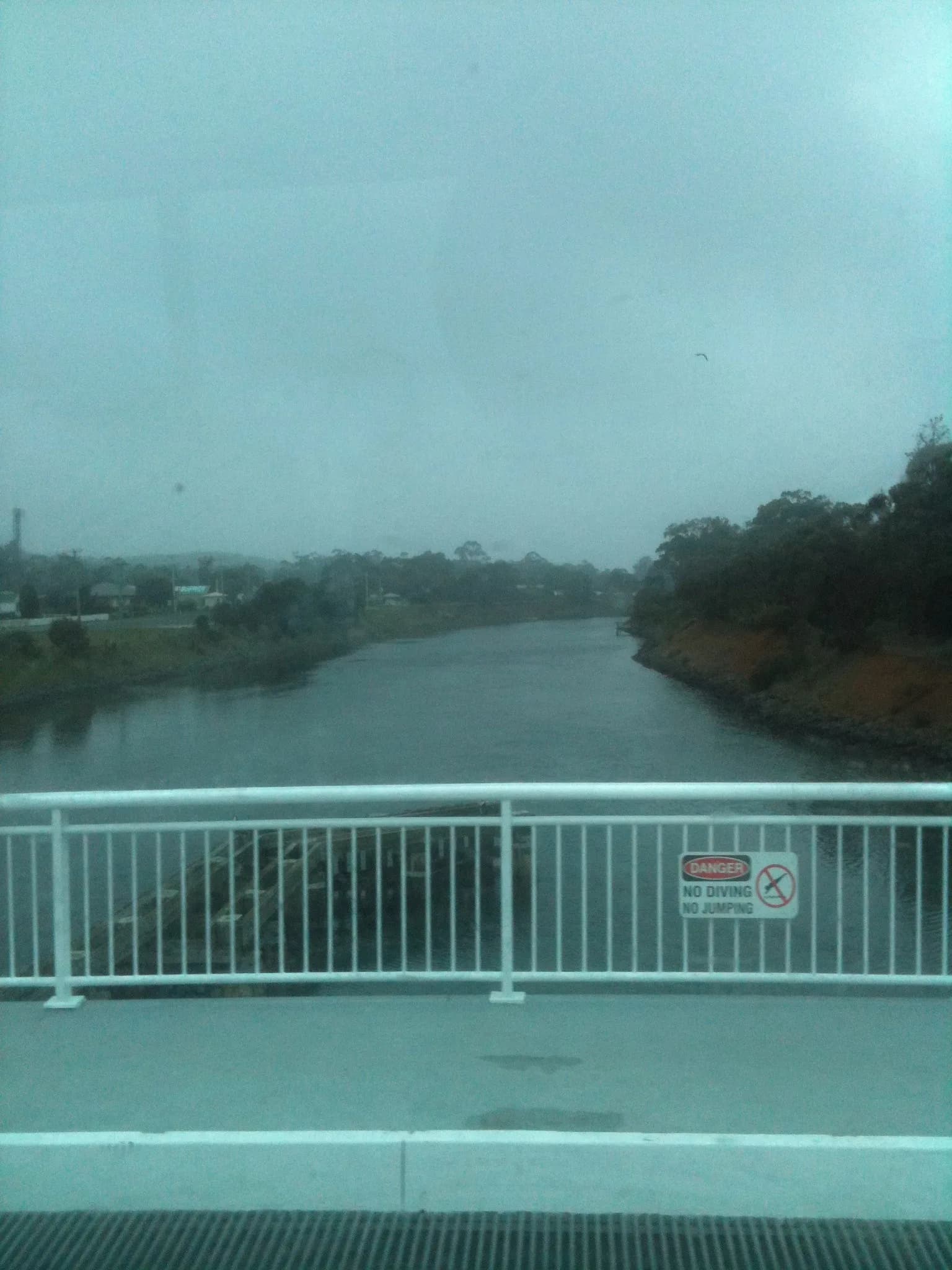

Choose coast or forest
The eastern shore faces the Tasman Sea, while Norfolk Bay and Blackman Bay are more sheltered. Conditions can still change quickly. Forest roads may be unsealed or affected by operations and weather.
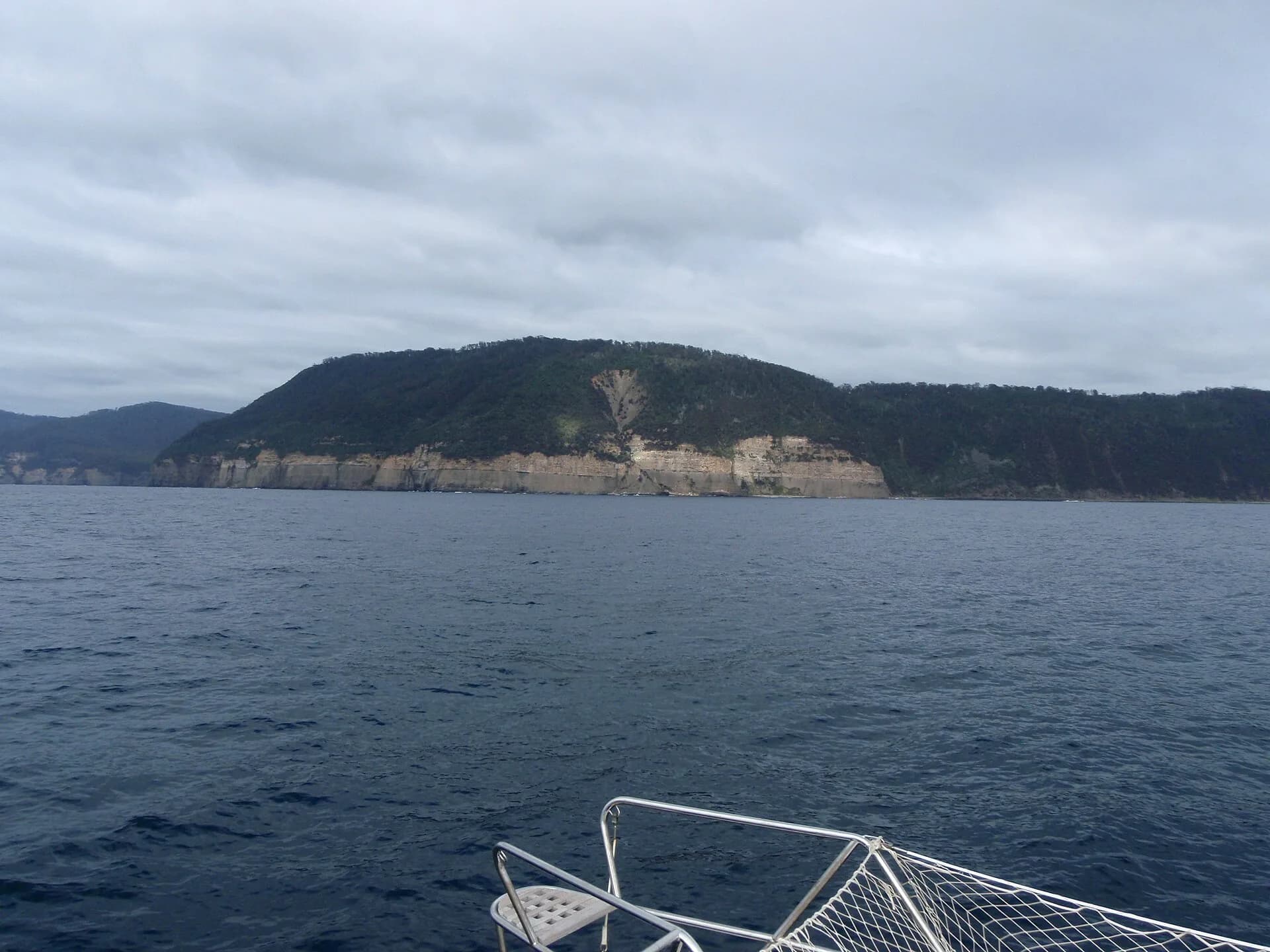

Small communities have limited services
Check fuel, food and accommodation directly rather than assuming late opening. Beaches, jetties and side roads often serve residents first. Keep private access clear and follow reserve rules.
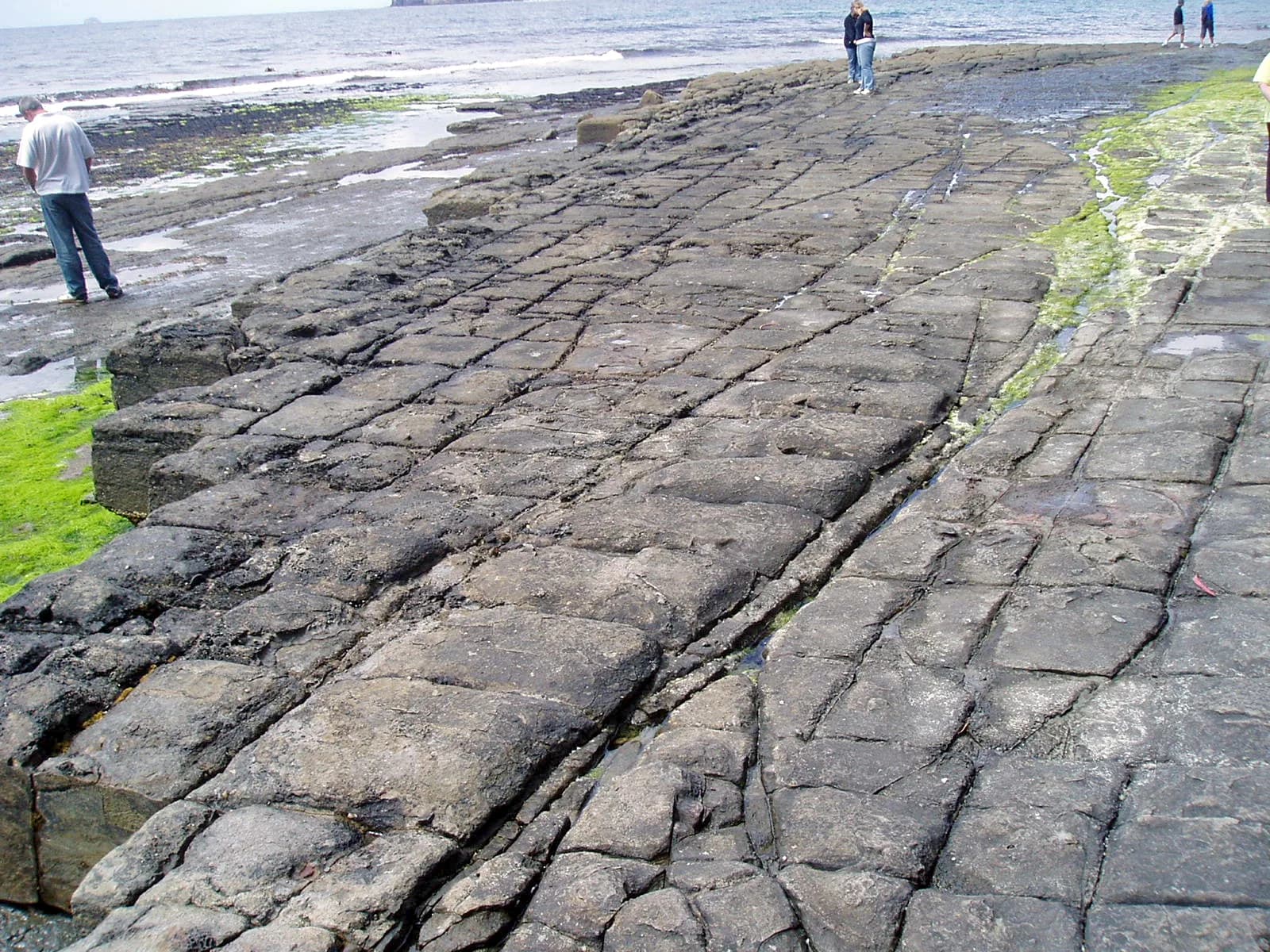

Use the Forestier walks guide for tracks, and the Dunalley and Eaglehawk Neck guides for the two gateways.