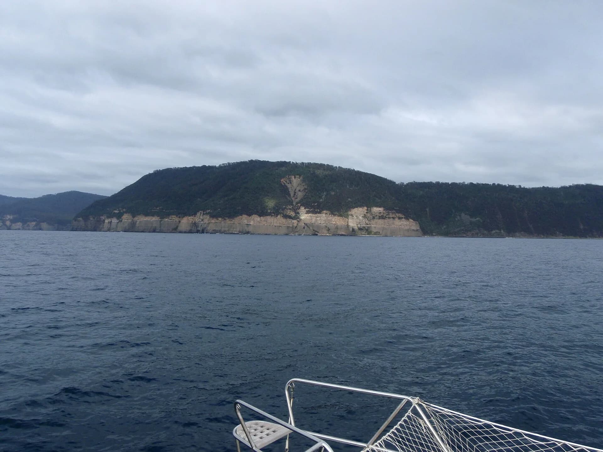

Where to walk on the Forestier Peninsula
The peninsula’s northern end around Eaglehawk Neck contains the most managed, easy-access sights. Formed paths lead to the Tessellated Pavement, Tasman Arch and Waterfall Bay and provide short, generally well-marked opportunities to view coastal geology and sea-cliff scenery. These sites are suitable for day visitors who prefer short walks from a vehicle park.
Further along the peninsula are longer, less managed routes such as High Yellow Bluff and other coastal tracks. These routes cross exposed coastal country and may follow rough or lightly marked lines rather than a formed path. Expect more navigation, longer travel times and a greater need for self-reliance on these sections.
Track standards and who they suit
Tracks on the peninsula range from compacted, easy-grade walks to rough, steep and lightly marked routes. Parks Tasmania uses the Australian Walking Track Grading System to describe difficulty. Choose routes that match your experience and fitness: select Grade 1 or 2 walks for short family outings and seek Grade 3 to 5 guidance for rougher coastal or multi-day routes.
If a description you find is several years old, treat it cautiously. Access arrangements and the physical condition of a track can change. Confirm status before committing to routes that leave the managed northern sites.
Hazards, changing conditions and on-the-day checks
Coastal walking here exposes you to wet rock, narrow cliff tops, large drops and sudden weather swings. Wind and poor visibility can make routes hazardous, particularly where the path is close to steep edges. On the morning of your walk, check current park alerts and track status with Parks Tasmania and review local weather forecasts. Be prepared to alter or abandon plans if cloud, wind, track condition or lack of daylight reduces the safety margin.
Mobile phone reception is unreliable in remote parts of the peninsula. Plan for this by carrying a printed map and a means of emergency communication appropriate to the route and remoteness.
Essential kit and personal checks before you leave
For day walks carry at minimum a weatherproof jacket, sun protection, adequate water, high-energy food, a personal first aid kit, a headtorch and a printed map. Good walking boots reduce the risk of slips on wet rock. If you are walking in remote or poorly marked country, add navigation aids and consider hiring or carrying a Personal Locator Beacon; Parks Tasmania strongly recommends a PLB for remote walks.
Before you head out, tell a reliable person your plans and intended return time and, where available, record trip intentions in the walk log book at the track head or visitor centre. Check current fire alerts and planned burns for the area and include refuge options in your plan.
Access, permits and local services
Tasman National Park protects much of the peninsula coastline. A valid parks pass is required to enter Tasmania’s national parks, so allow time to obtain the appropriate pass for your visit. Use Eaglehawk Neck as the practical base for the peninsula’s northern, managed sites; visitor centres and park staff can provide the most up-to-date information on track heads and alerts.
Do not rely on an old vehicle track, a decades-old route description or a faded marker as evidence of public access. If you are unsure about a start point or whether a route crosses private land, confirm the present trailhead and access status with Parks Tasmania.
Navigation, route choices and time management
Longer coastline routes require you to judge progress and light levels carefully. Walks along the exposed coast often have limited escape or bailout points, so plan to turn back well before conditions deteriorate or daylight runs out. Carry maps and be comfortable with basic navigation; experience in coastal route finding is helpful for rougher sections.
If a route has cliffs, wet slabs or complex terrain, factor in slower walking speeds and extra time for careful movement and route finding. If you are planning a multi-day trip, use recommended multi-day track information from park staff and carry equipment suitable for overnight camping.
Biosecurity and environmental responsibility
Help protect the peninsula’s native plants and soils by cleaning mud from boots, packs and gear before and after visits where practical. Follow any wash-down instructions at park facilities to reduce the spread of root rot and other pests. Take your rubbish out with you and keep to formed tracks where they exist to limit erosion.
Final suitability checks
Choose routes that match the group’s fitness, experience and equipment. If anyone in your party lacks recent bushwalking experience, select shorter managed walks around Eaglehawk Neck or consider walking with someone experienced. For remote or unmarked coastal sections, a PLB and strong navigation skills make the walk more appropriate.
If you have any doubt about access, track condition or safety, contact park staff or a visitor centre for the latest information before committing to the route.