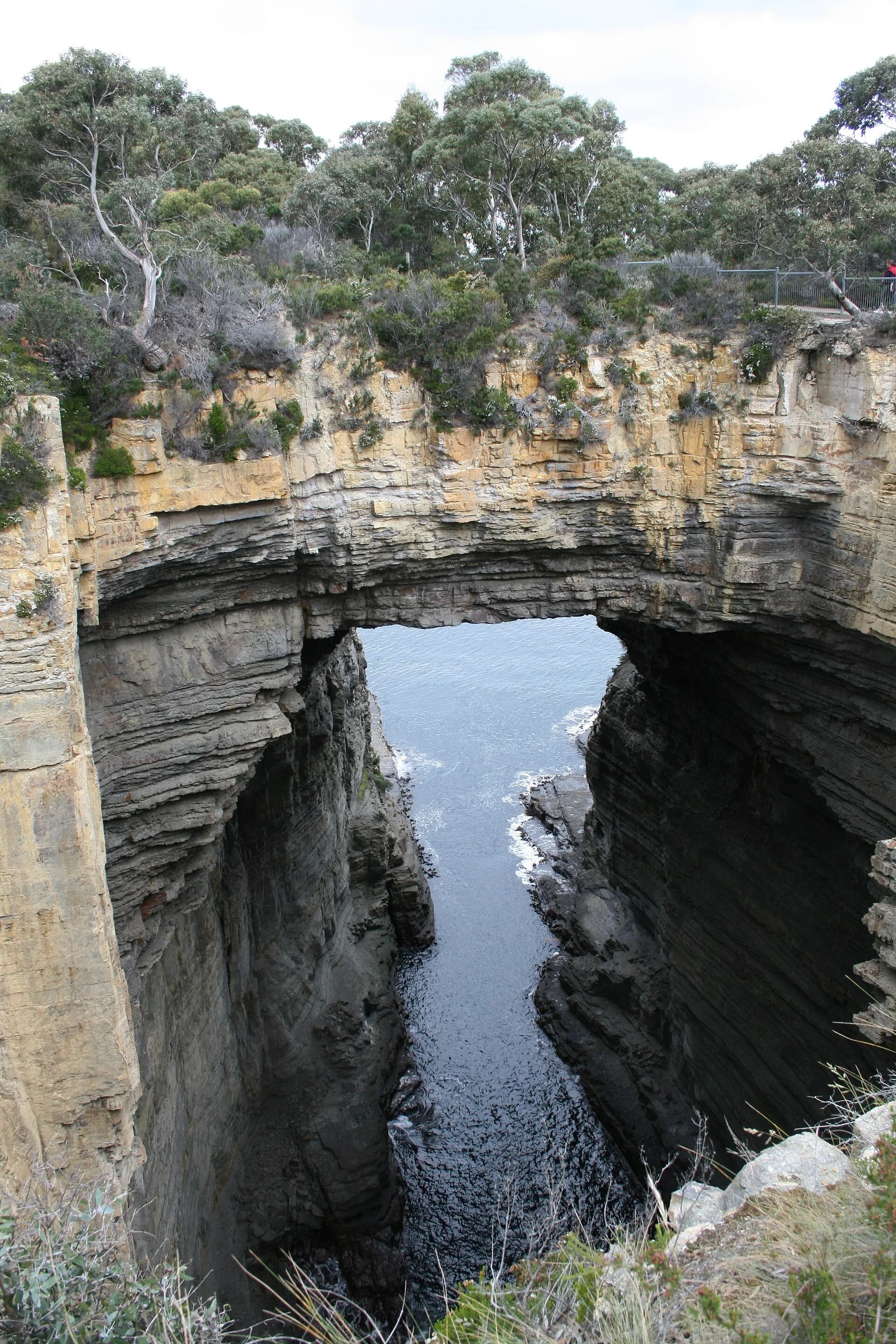

The Tasman Peninsula combines some of Tasmania’s most dramatic coastal landscapes with places central to the history of transportation and punishment. It is within the homelands of the Pydairerme clan of the Oyster Bay nation, and Aboriginal connections continue across coast, forest and cultural sites.
Understanding the peninsula
Eaglehawk Neck forms the narrow land connection between the Forestier and Tasman peninsulas. To the east and south, Tasman National Park protects high dolerite cliffs, heathlands, forests, beaches and marine habitats. Towns and settlements include Dunalley, Eaglehawk Neck, Taranna, Nubeena and Port Arthur.
Driving distances can appear short, but narrow roads, wildlife and frequent stops make progress slower. Avoid driving around dawn, dusk and after dark where possible, and follow current road and park alerts.
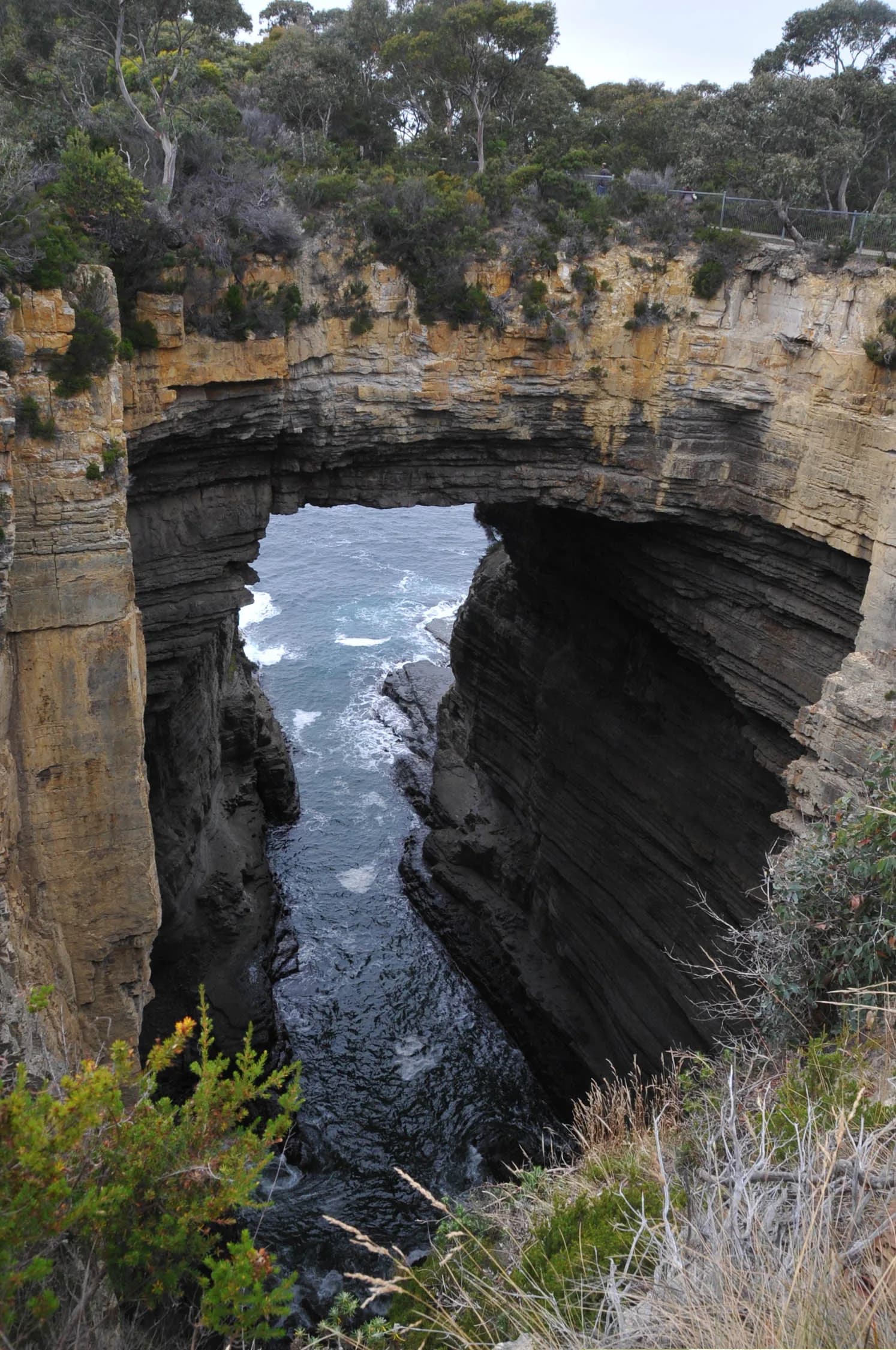

Coastal formations and short stops
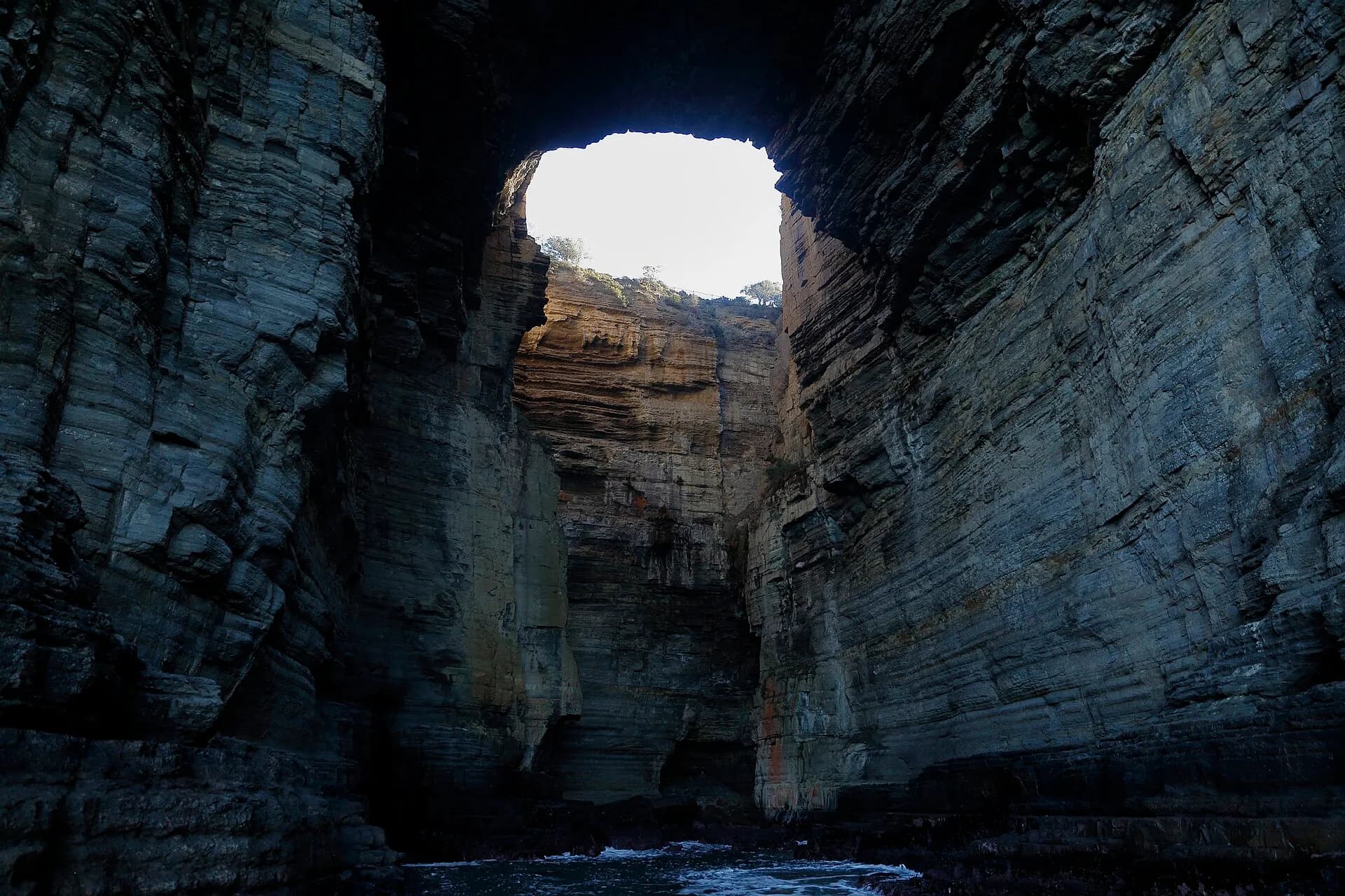
Near Eaglehawk Neck, the Blowhole, Tasmans Arch, Devils Kitchen and Tessellated Pavement show different effects of waves, weathering and rock structure. They are separate features, not interchangeable labels. Stay behind barriers because cliff edges can be unstable and waves unpredictable.
Parks Tasmania may close sites for maintenance, fire operations or safety. Check alerts on the day rather than assuming every viewing area is accessible.
.jpg)
Walks in Tasman National Park
Short walks range from beach and forest routes to exposed cliff-top tracks. Cape Hauy and Cape Raoul are substantial day walks with steep sections and rapidly changing weather. The multi-day Three Capes Track requires bookings and separate planning.
Carry water, warm and waterproof layers, and tell someone your route. A parks pass is required for national-park entry. Track classifications describe the route, but they do not remove the effect of wind, heat, ice or poor visibility.
Convict and community history
Port Arthur is the best-known historic site, while the Coal Mines Historic Site at Saltwater River reveals another part of the penal system. Eaglehawk Neck’s officers’ quarters and the history of the dog line explain how geography was used to control movement.
The peninsula did not cease to be a community when the convict stations closed. Farming, forestry, fishing and visitor services shaped later settlements. Historic places therefore sit within working landscapes rather than a single preserved precinct.
Building an itinerary
A rushed day trip can cover Port Arthur and one or two coastal stops. Two or three days allow time for a major walk, the Coal Mines, local museums and weather changes. Base yourself according to the focus of the trip: the northern peninsula for coastal formations, or farther south for Port Arthur and Cape Raoul access.
Fuel, food and mobile coverage are more limited than in Hobart. Download maps before leaving, carry drinking water and confirm opening hours. The most useful plan leaves space for closures and gives the peninsula’s history equal weight with its viewpoints.