.jpg)
Southern Tasmania is not one historical unit with a single story. The Derwent, Huon, Channel, Tasman Peninsula and far south each have distinct landscapes and communities. Their histories meet through water, roads, government, trade and the expansion of Hobart.
Aboriginal Country
Tasmanian Aboriginal people lived across the south for many thousands of years before British occupation. Nations and clans maintained relationships with coast, river valleys, high country and seasonal resources. Colonisation brought land seizure, violence, displacement and attempts to remove Aboriginal people from Country. Aboriginal survival and cultural continuity are essential to the region’s history.
Official place acknowledgements can help identify Country, but they should not be treated as complete accounts of cultural boundaries. Community sources and Aboriginal-led interpretation provide the strongest guidance for particular places.
Voyages and coastal knowledge
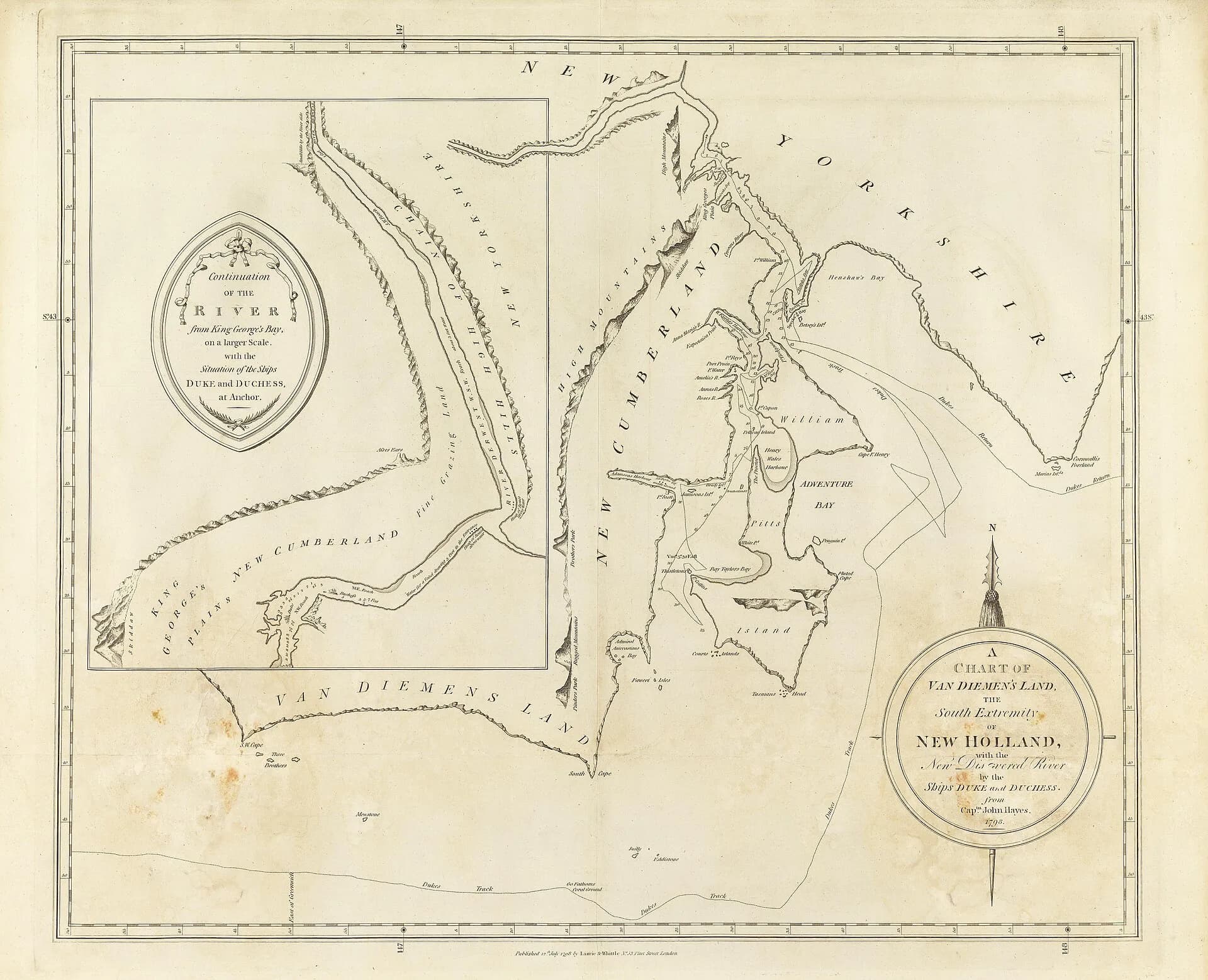
European navigators charted parts of the south and east coasts from the seventeenth century. French expeditions led by Bruny d’Entrecasteaux and Nicolas Baudin made detailed observations and maps in the Channel and Recherche Bay. Their records sit beside much older Aboriginal knowledge of the same waters.

Whalers, sealers and timber cutters then established violent and extractive relationships with the coast. Bays offered shelter, while forests, whales and seals were treated as resources for distant markets.
British settlement and forced labour
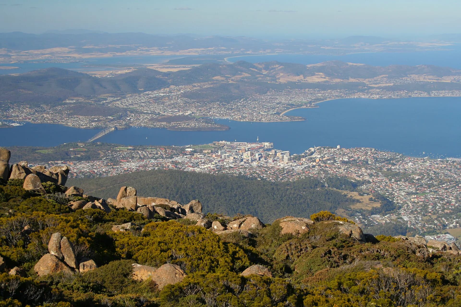
David Collins established the settlement at Sullivan’s Cove in 1804. Hobart became the administrative centre of Van Diemen’s Land and a major node in the British convict system. Convict labour built roads, public works, farms and institutions across the region.
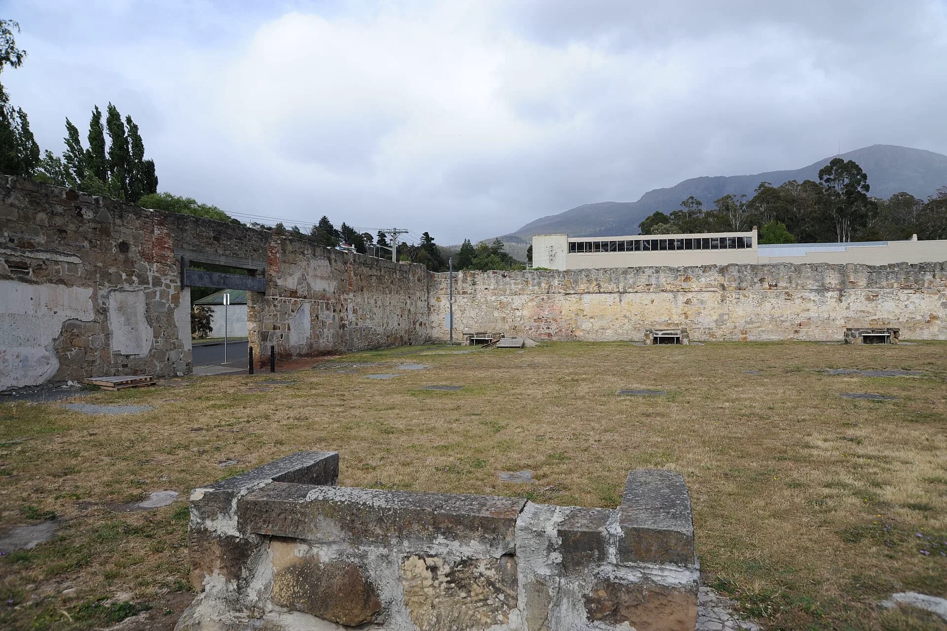
Sites such as the Cascades Female Factory and Port Arthur reveal different forms of confinement and labour. Rural probation stations, road parties and assigned workers spread the system well beyond the largest surviving complexes.

Farms, orchards, timber and ports
Settlement expanded through the Derwent and Coal River valleys, around the Channel and into the Huon. Farms supplied grain, meat, fruit and dairy goods. Timber milling, shipbuilding and fishing supported coastal communities, while jetties and small vessels carried goods before dependable roads.
The far south developed around timber, whaling, mining and small farming. Many settlements contracted when resources, markets or transport patterns changed. The 1967 bushfires caused devastating losses around Hobart and the Channel and accelerated changes in some orchard districts.
A capital region grows
Twentieth-century roads, hydro-electric development, industry and suburban housing extended greater Hobart across both shores of the Derwent. Kingston and other Kingborough communities grew rapidly after improved road links. At the same time, national parks and heritage conservation changed how some landscapes were managed and understood.
Regional history is clearest when read through connected places. The Heritage Highway shows inland routes, the Derwent names guide examines mapping and naming, and local museums preserve evidence often absent from statewide accounts.