.png)
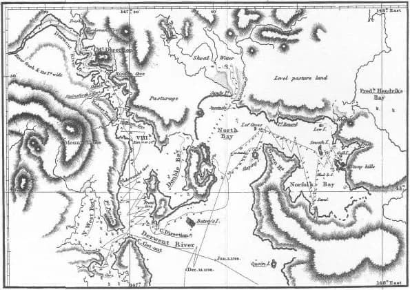
Norfolk Bay is a broad sheltered waterway between the Tasman and Forestier peninsulas. Small settlements, farms and reserves face the bay, but there is no single continuous shoreline road or public foreshore route.
A water-based geography
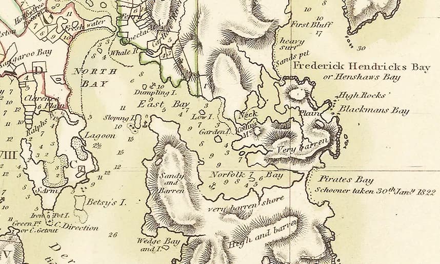
Historic charts show how navigators gradually distinguished Norfolk Bay from Frederick Henry Bay and the coast beyond. Modern road journeys still bend around inlets and private land.

Convict transport and stations
The bay formed part of transport networks serving Port Arthur and outlying probation stations. The former Norfolk Bay station at Taranna connected a short railway or tramroad across the peninsula, reducing the exposed sea journey.
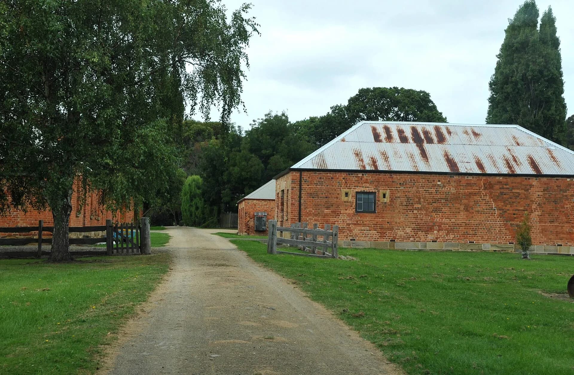

Surviving sites vary from interpreted public places to archaeology on private land. Do not follow historical map marks through farms.
Plan by locality
Taranna, Murdunna and Eaglehawk Neck provide different access points and services. Boating requires current weather, charts and safety equipment; apparently protected water can become rough.
Use the Tasman Peninsula guide to build a road itinerary, and Port Arthur for detailed convict-site planning.