

Nubeena is the main service town on the western side of the Tasman Peninsula. It sits inland from Parsons Bay and provides fuel, groceries, health and community services for smaller settlements spread around Norfolk Bay and the peninsula coast.
A practical peninsula base
Travellers often pass through on the way to Cape Raoul, White Beach, Roaring Beach or the Coal Mines Historic Site. The town’s value is practical: distances are longer than they look, and food, fuel and opening hours become less predictable away from the main centres.
Use current road and park alerts before taking minor roads. Wildlife is common around dawn and dusk, and mobile coverage can be uneven.

Norfolk Bay and local industry
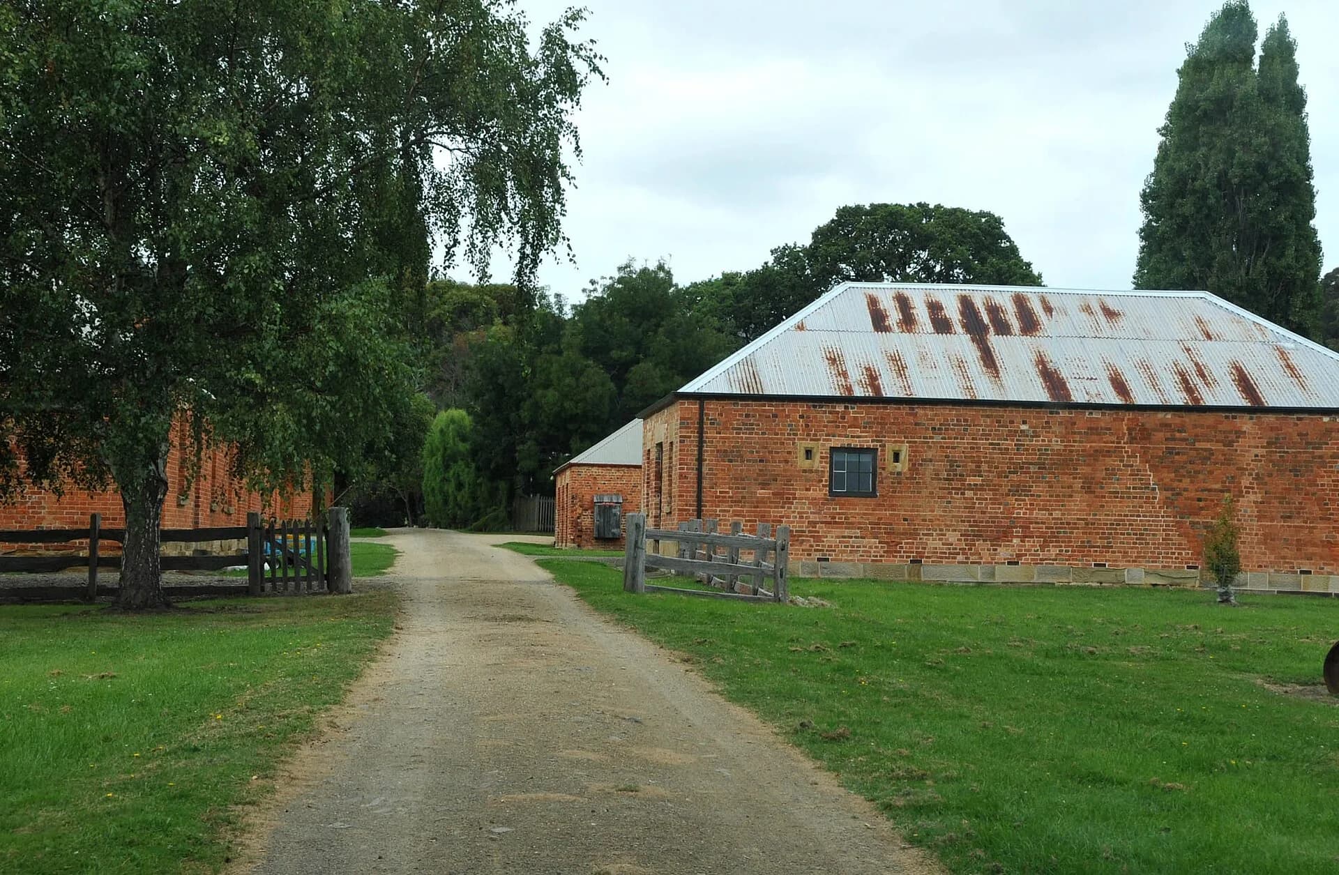
Norfolk Bay is a sheltered water body between the Forestier and Tasman peninsulas. Fishing, farming, timber and marine work have supported local communities, while Port Arthur and national-park visitation now shape much of the service economy.
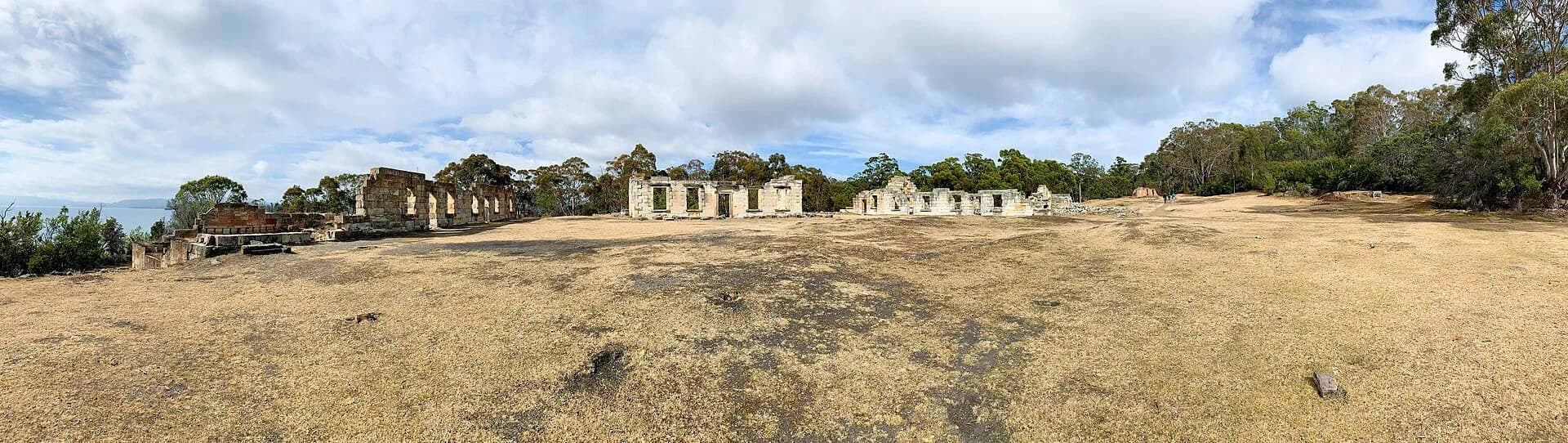
The region’s history cannot be separated from the convict system. Smaller stations, farms and transport routes supported the major establishment at Port Arthur. The surviving Coal Mines site near Saltwater River reveals punishment and extractive labour in a different landscape.

What to see nearby
White Beach offers sheltered coastal access close to town. The western peninsula also leads to walking routes at Cape Raoul and Shipstern Bluff, while the Coal Mines Historic Site can be explored through marked paths. Conditions, track grades and park-pass requirements vary.
The Tasman Peninsula guide helps place Nubeena within a broader itinerary. Staying on the western side reduces backtracking for Cape Raoul and Saltwater River, while accommodation near Port Arthur suits the main historic site and south-eastern coast.
Allow enough time
Nubeena can be a supply stop in under an hour, but the western peninsula deserves a full day. Carry drinking water for walks, protect against wind and sun, and avoid relying on late-evening food or fuel.