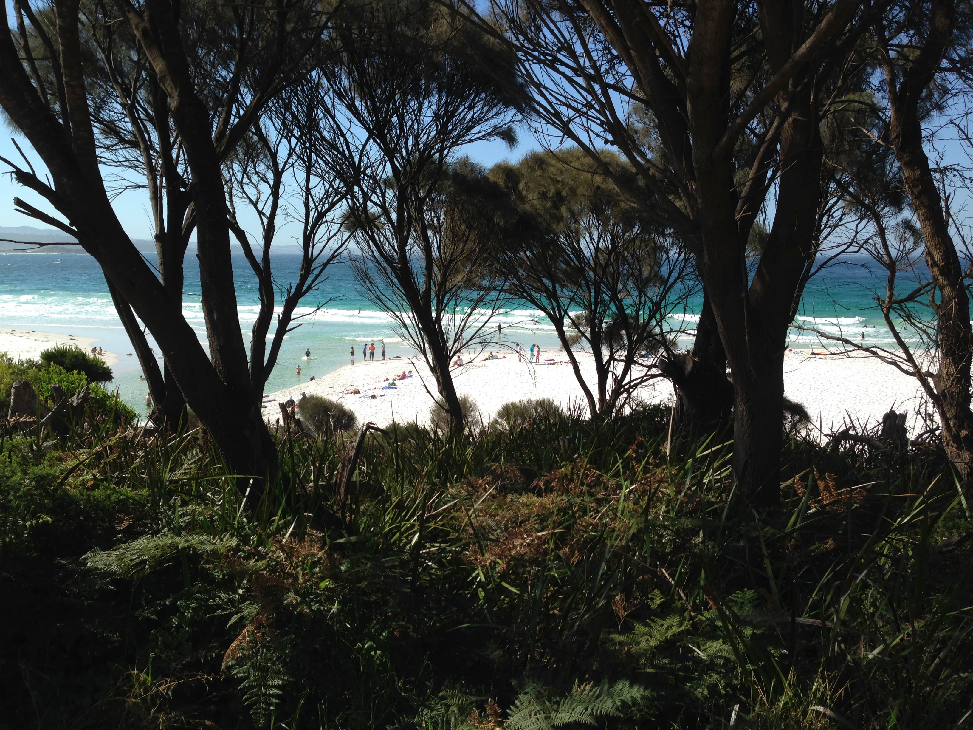

Where the Central Coast beaches sit
Tasmania’s Central Coast shoreline in the North West and West region includes built-up beaches near Penguin and Ulverstone and quieter reaches east toward Turners Beach and Leith. The coast is interrupted by river mouths, rocky points and sections of road and rail corridor. Expect distinct beaches rather than a single continuous sand strip and plan routes between formal access points.
Facilities and town access
Penguin and Ulverstone are the main service hubs on this stretch. Penguin Beach, Johnsons Beach and the Ulverstone foreshore have public parks, playgrounds and toilets close to the sand. Picnic Point in Ulverstone provides a large picnic area with BBQ facilities and a playground adjacent to the shore. These town beaches make short visits practical for families or anyone wanting a quick return to shops, cafes or a car.
Patrols and water supervision
Some beaches have patrolled sections but coverage and hours vary by location and season. Ulverstone has a patrolled area associated with the local surf club. Do not assume a beach is supervised at the time you visit. Check signage at each access point and consult a recognised national beach safety resource or app for current patrol status, hazard warnings and information about rips before entering the water.
How river mouths affect conditions
The Leven and Forth rivers meet the coast here. River outlets commonly form channels and shifting sandbars, and flow strength increases after rain. Those changes can produce deeper channels and unexpected currents close to the outlet. Stay clear of flood-affected water and do not attempt to cross a river outlet even if it looks shallow from the shore. Kayakers and paddle boarders may find calmer water away from strong channels, but should reassess conditions after wet weather.
Dog access, designated areas and wildlife protection
Dog access is managed in detail along the Central Coast. The municipality uses on-leash, off-leash and dog-free sections, often next to one another. Examples from Council mapping include:
- Off-leash: Watcombe Beach from east of Lions Park; western end of Buttons Beach from the Leven River to west of Victoria Street; western end of Turners Beach from east of Claytons Rivulet to west of Turners Beach Road; Leith Beach from east of the Forth River. The Ulverstone Dog Park and Penguin Dog Park are listed off-leash areas.
- On-leash: Penguin Beach from east of Johnsons Beach Road to Lions Park; Turners Beach from east of Turners Beach Road to the Forth River; Picnic Point Beach from east of Picnic Point to the Leven River; Midway Beach east of Creamery Road; Preservation Bay Beach sand area only; West Ulverstone Beach from east of Westland Drive to Queen Street.
- Dog-free: Johnsons Beach sand and playground area only; Buttons Beach between Victoria Street and Buttons Creek; Sulphur Creek Beach west of Creamery Road through to Howth; certain Fishponds sections. Follow the signage at each beach access and consult the Central Coast Council dog exercise maps before you arrive. Keep dogs under control near shorebird nesting signs and avoid sensitive vegetation and marked wildlife areas.
Walking the foreshore and short routes
Short foreshore walks are straightforward close to the towns where car parks and promenades meet the sand. Expect interruptions where groynes, rocky headlands or river mouths block a continuous stroll. Allow extra time for detours and check tide times where a path narrows close to the water. Wooden structures and exposed rocks can be slippery when wet, so choose routes that match the conditions and your footwear.
Suitability and who should visit
Families and casual swimmers will find Penguin and Ulverstone town beaches easy to access and convenient for short visits. Swimmers should favour patrolled sections where they exist and always obey lifeguard instructions. People with dogs can use many dog-friendly sections but must follow on-leash rules where specified and move only to off-leash areas shown on Council maps. Water users such as kayakers and paddle boarders can use river mouths for launching but should avoid strong channels and reassess after heavy rain.
Checks to make before you travel
Before you leave, check the Central Coast Council maps for exact dog exercise rules for the beach section you plan to visit and look for signage at the access point on arrival. Use a national beach safety service or app for current patrol information, rip advice and other local hazards. Avoid entering flood-affected river mouths and do not attempt to cross outlets. If you are unsure about supervision or conditions, select a clearly patrolled beach.
Practical gear and local etiquette
Bring sun protection in summer and a wind layer in cooler months. Remove dog waste from car parks and paths and follow posted parking and access rules to avoid fines and to protect dune vegetation. When you see shorebird nesting signs, increase your distance and keep dogs under close control. These simple steps support safety and local wildlife protection.
Local contacts and further help
For clarifications about dog zones, park bookings or local rules contact Central Coast Council customer service. For up to date beach hazard and patrol information use a recognised national beach safety resource or app before entering the water.