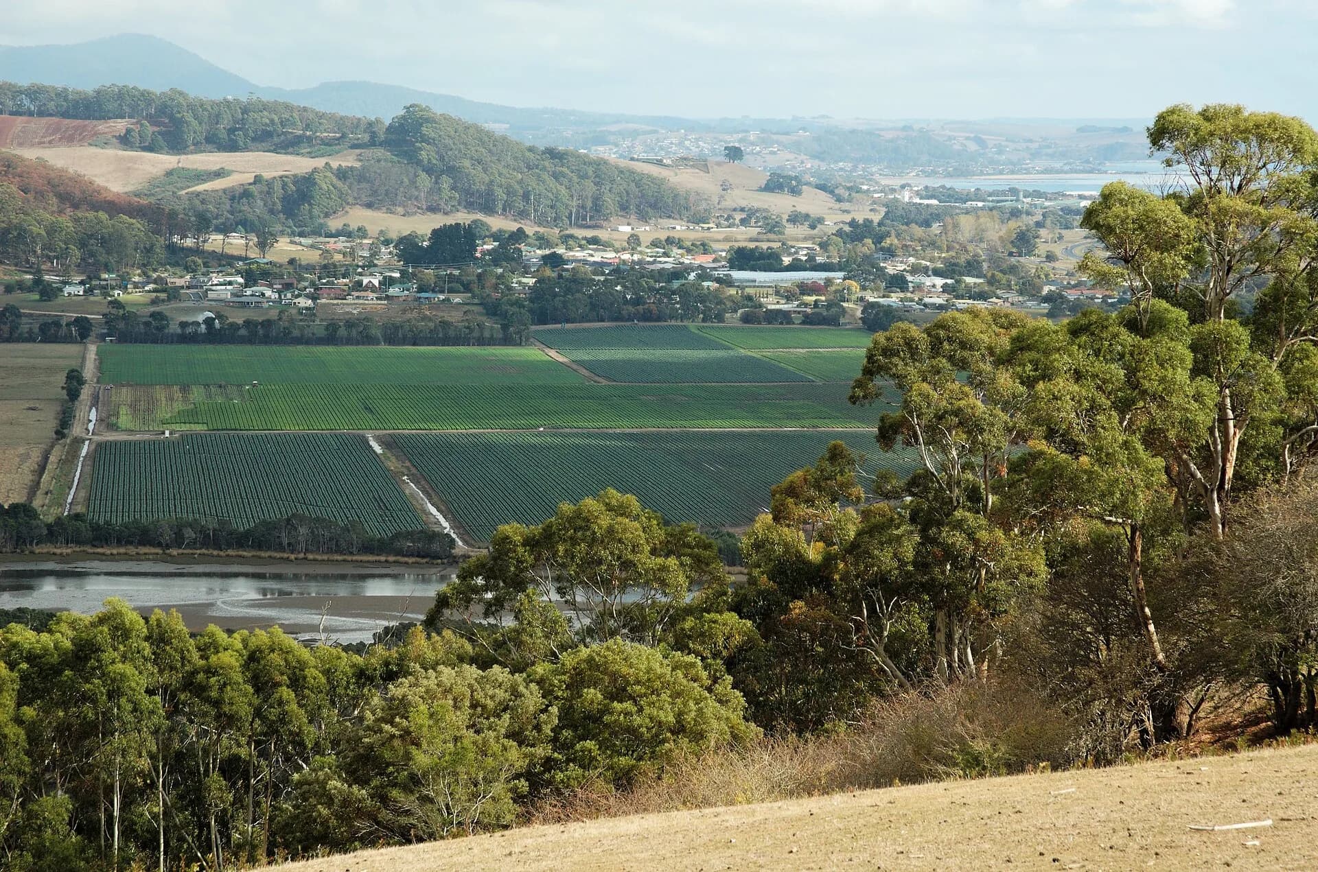

Gawler is a dispersed farming locality south of Ulverstone, set among the tributaries and rolling pasture of Tasmania's Central Coast hinterland. It has no conventional visitor centre or compact main street. Its interest lies in the working landscape and the way the coastal plain rises towards the Dial Range and inland escarpments.
Read the district from the road
Council landscape studies describe Gawler's open agricultural country, remnant vegetation belts and long views towards surrounding hills. Gawler Road and Top Gawler Road pass homes, paddocks and farm entrances, so this is a place to drive patiently rather than stop wherever a view appears.
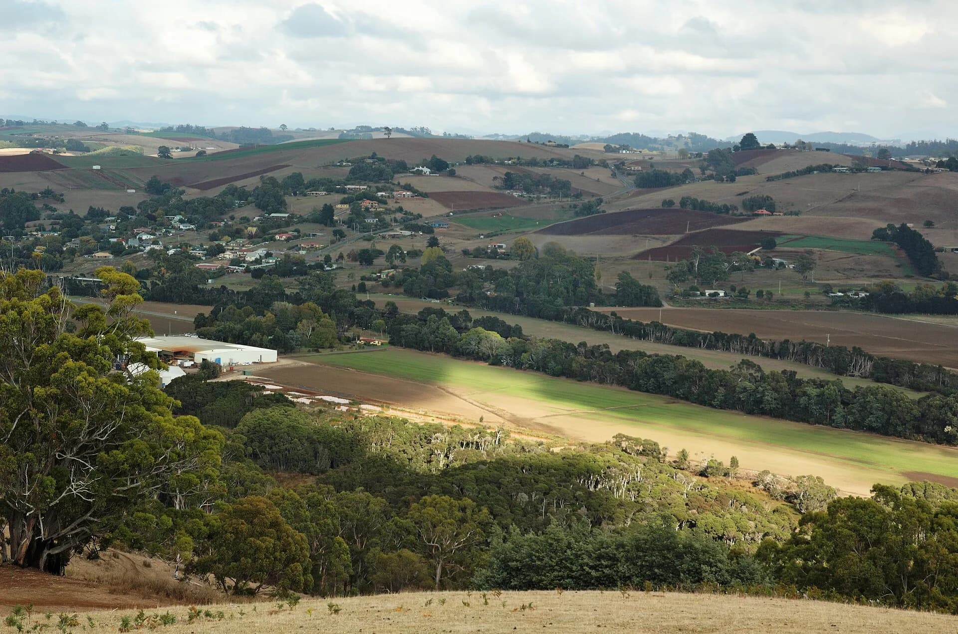

Pull over only where the shoulder is firm, wide and legal. Do not enter paddocks, gateways or irrigation infrastructure for photographs. Slow machinery, livestock movements and changing road surfaces are normal parts of the district.
Productive land shapes the locality
The wider Kindred and North Motton irrigation district supports pasture, vegetable crops, cereals, berries and dairy production. That agricultural purpose matters more than any fixed sightseeing circuit. Seasonal colour changes with planting, harvest, rain and dry periods.
.jpg)
Heavy rain can affect low roads and water crossings. Check Tasmania Police community alerts and council road information after storms rather than assuming a rural shortcut is open.
Use nearby towns as practical bases
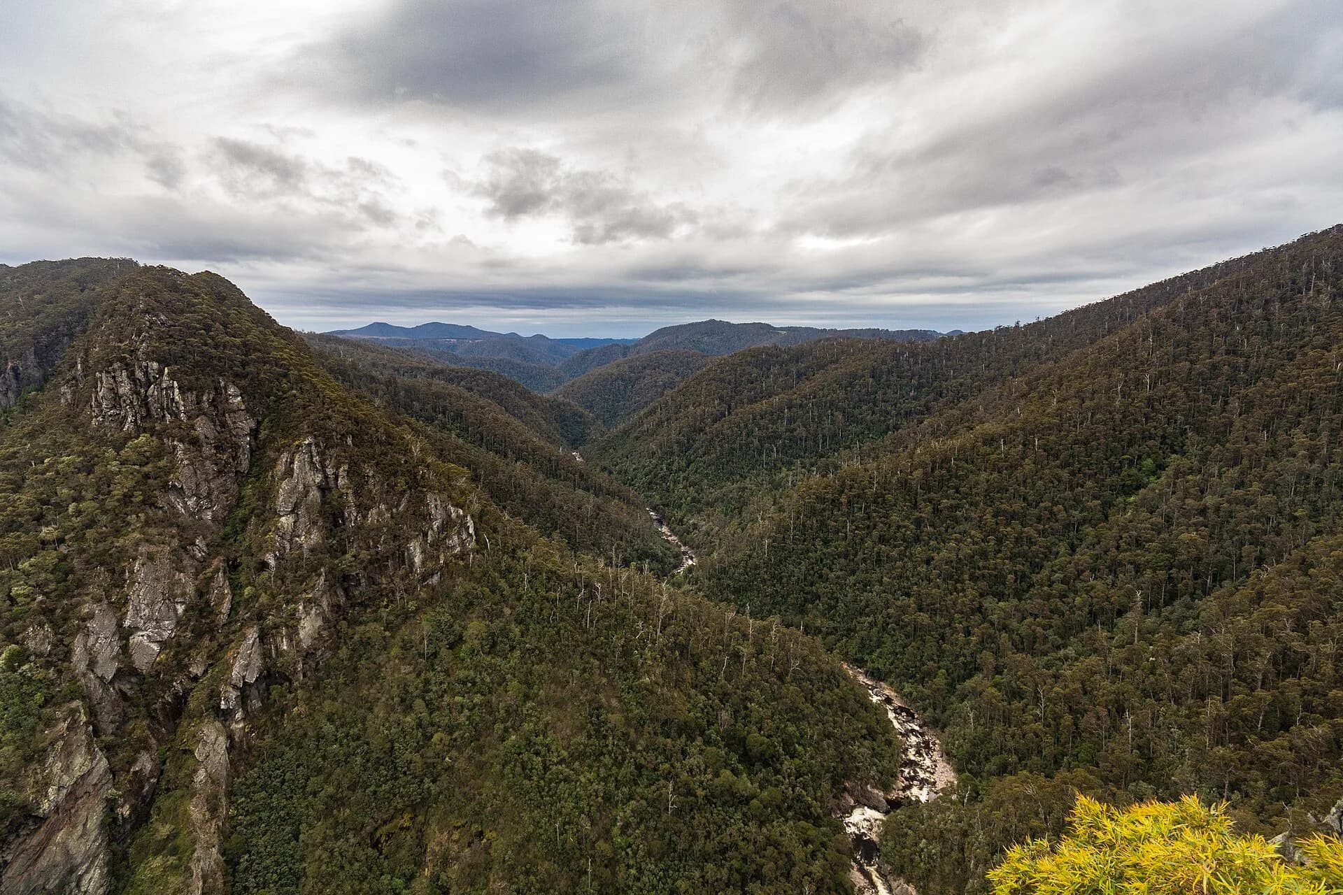
Ulverstone has shops, accommodation and the closest broad range of services. Turners Beach, Leith and Forth provide river and coastal stops, while Leven Canyon is a defined destination farther inland.
.jpg)