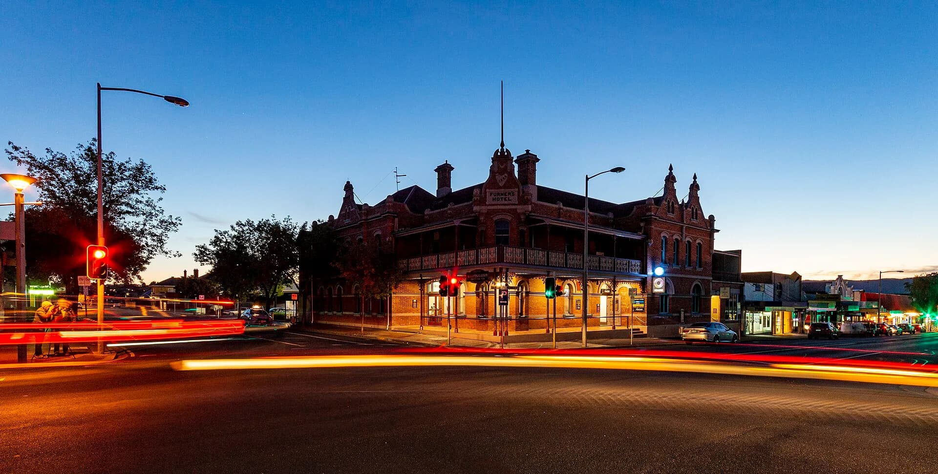

Ulverstone sits where the Leven River reaches Bass Strait, roughly midway between Devonport and Burnie. It is a substantial service town and a practical base for both the coast and inland Central Coast roads.
Walk between town and river
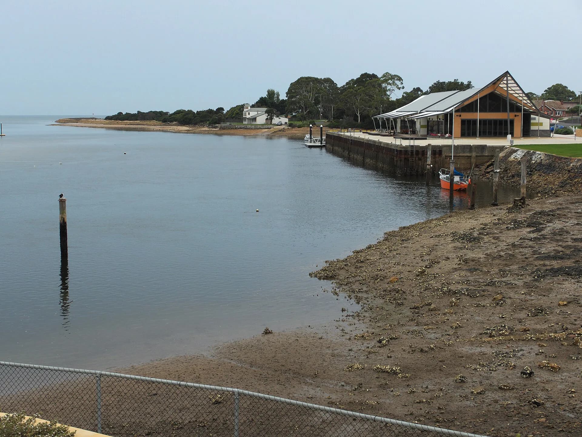
The centre, river parks and foreshore connect by local streets and paths. River levels and water quality change after rain, so follow signs and avoid flooded edges.

The town grew through transport and farming
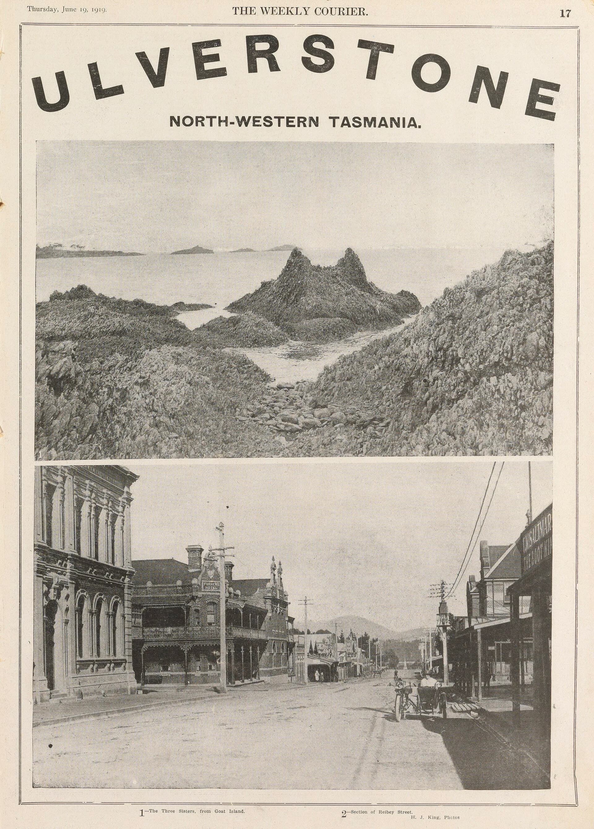
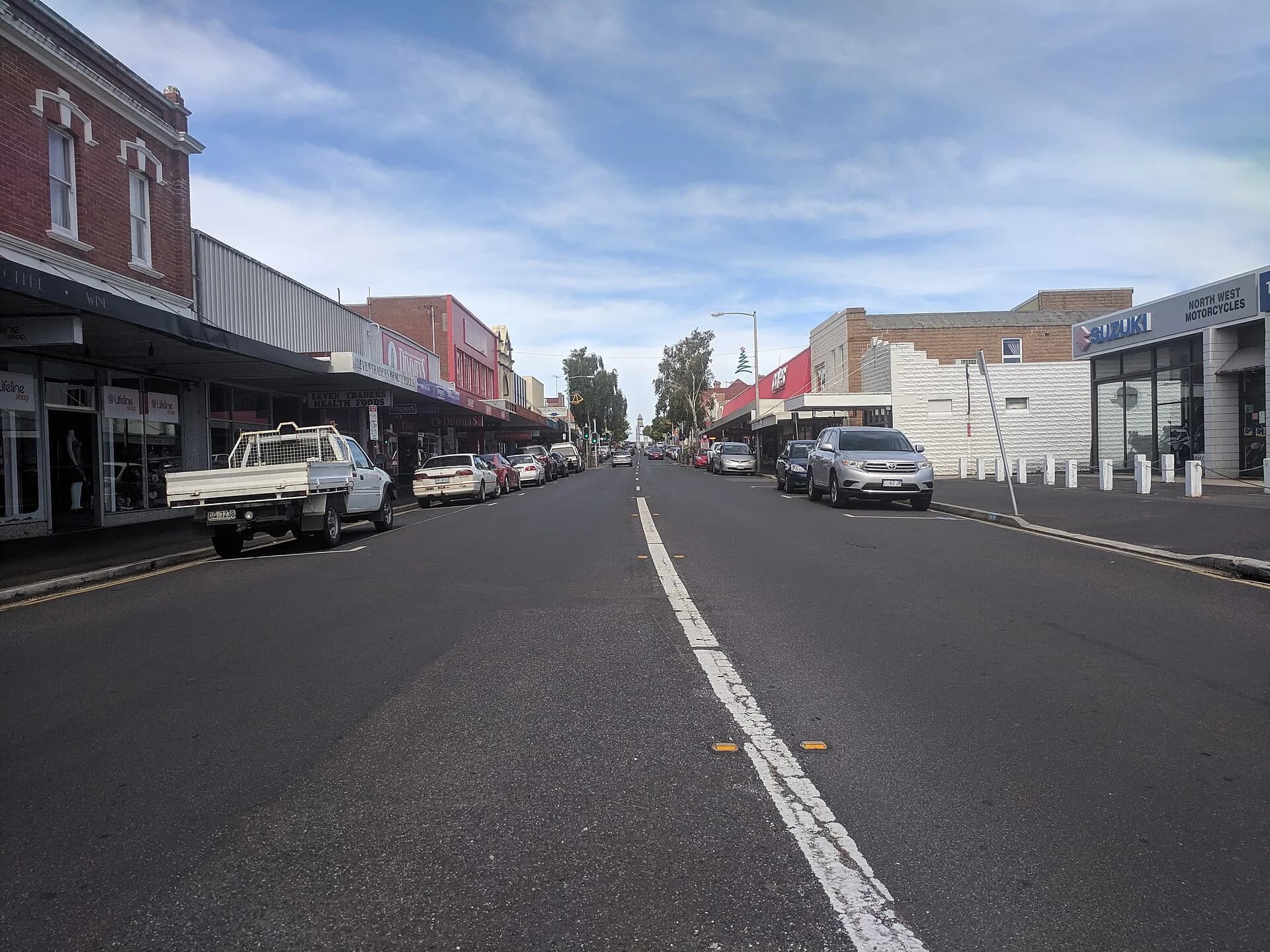
Historic photographs show wharves, rail and a compact commercial centre serving surrounding farms. Later highways changed movement, but the town still functions as the district’s main service centre.
_(13415650414).jpg)
Choose coast or hinterland
Beaches extend east and west, while Castra Road and the Leven valley lead inland. Do not combine Leven Canyon with a rushed coastal stop because the drive and walks need their own time.

Use the Central Coast beaches guide for the shore and Central Coast hinterland for inland planning.