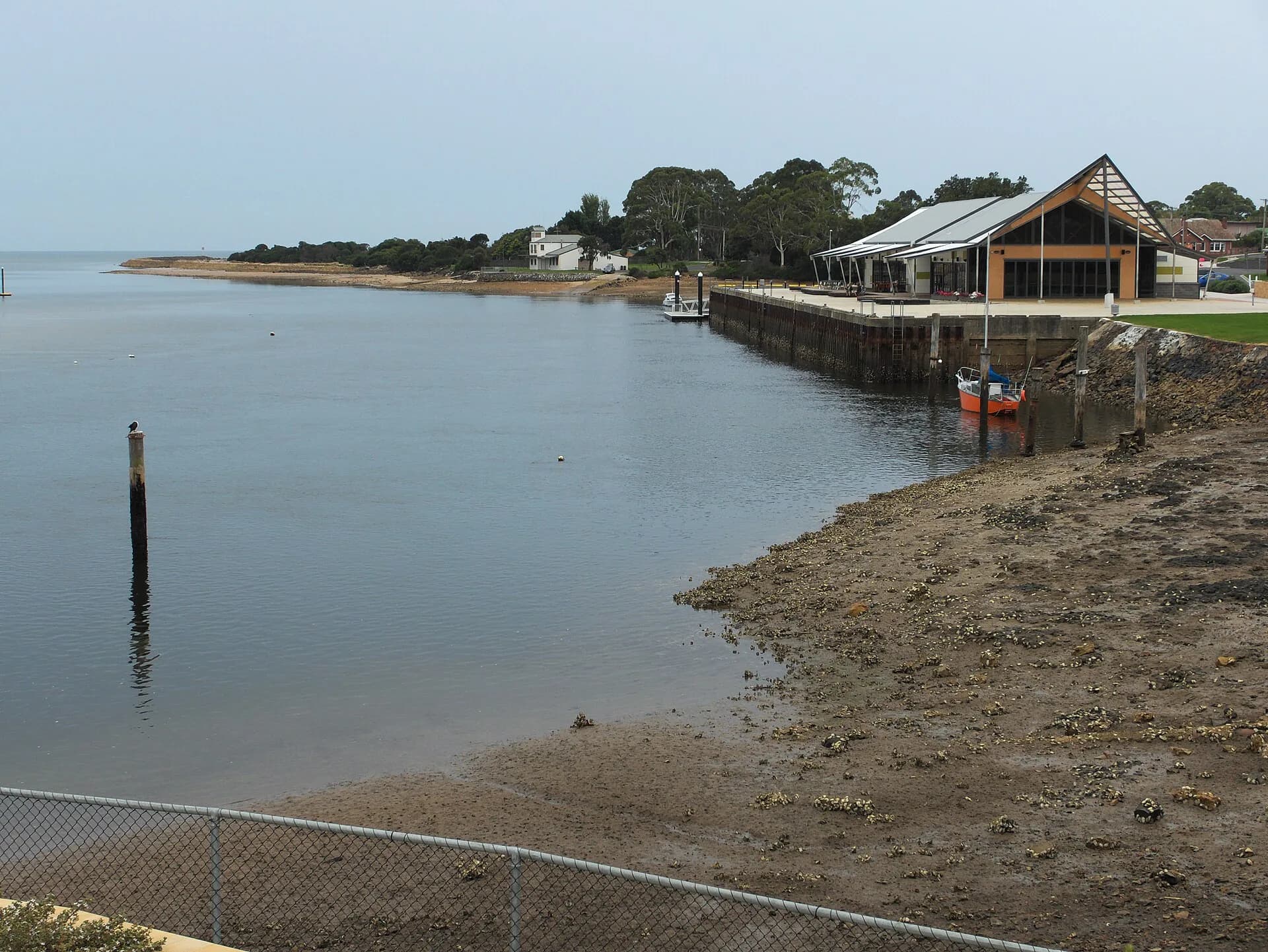

Tasmania’s central north coast runs along Bass Strait between the Port Sorell district and Burnie. Devonport is the main transport hub, while Forth, Turners Beach, Ulverstone and Penguin form a sequence of river mouths, beaches and working towns.
Devonport is the gateway, not the whole journey
The Spirit of Tasmania terminal and Bass Highway bring many travellers through Devonport. Allow time for the Mersey Bluff coast, then move west through Don rather than treating the city as a motorway stop.
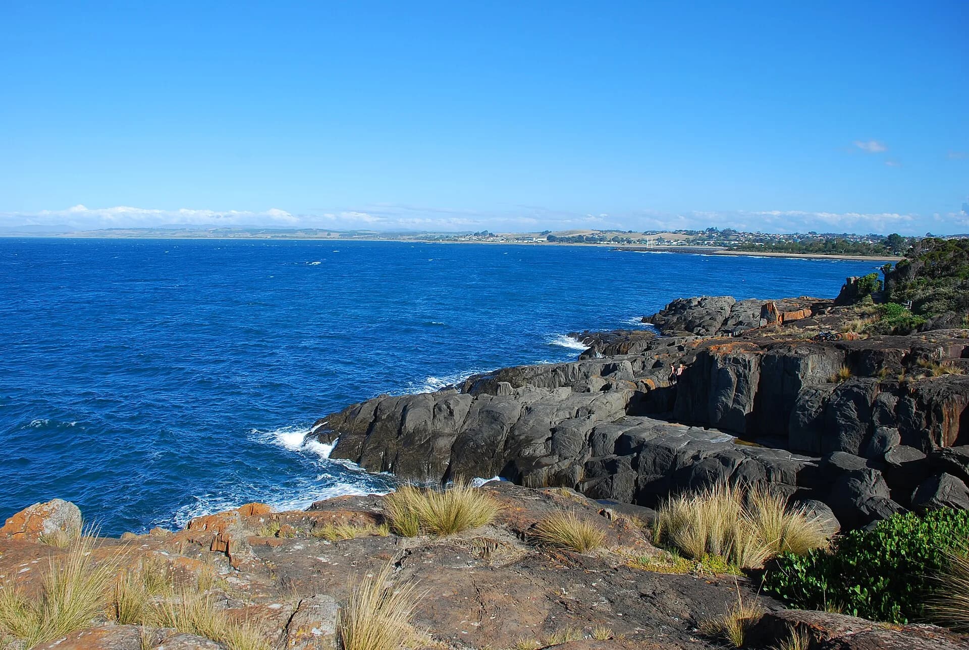

Forth and Turners Beach slow the route down
Forth sits just inland on its river, while Turners Beach and Leith have low-key shorelines and estuary views. Public access is scattered among residential streets, reserves and boat ramps, so follow signs and avoid private foreshore tracks.
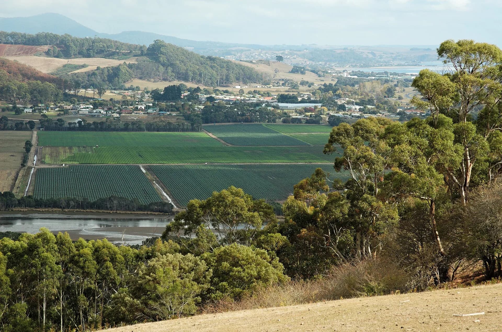

Ulverstone and Penguin make useful bases
Ulverstone has the Leven River, a broad beach reserve and the Hive cultural centre. Penguin has a compact main street facing the shore. Both connect inland to farms, forest and the Central Coast hinterland.
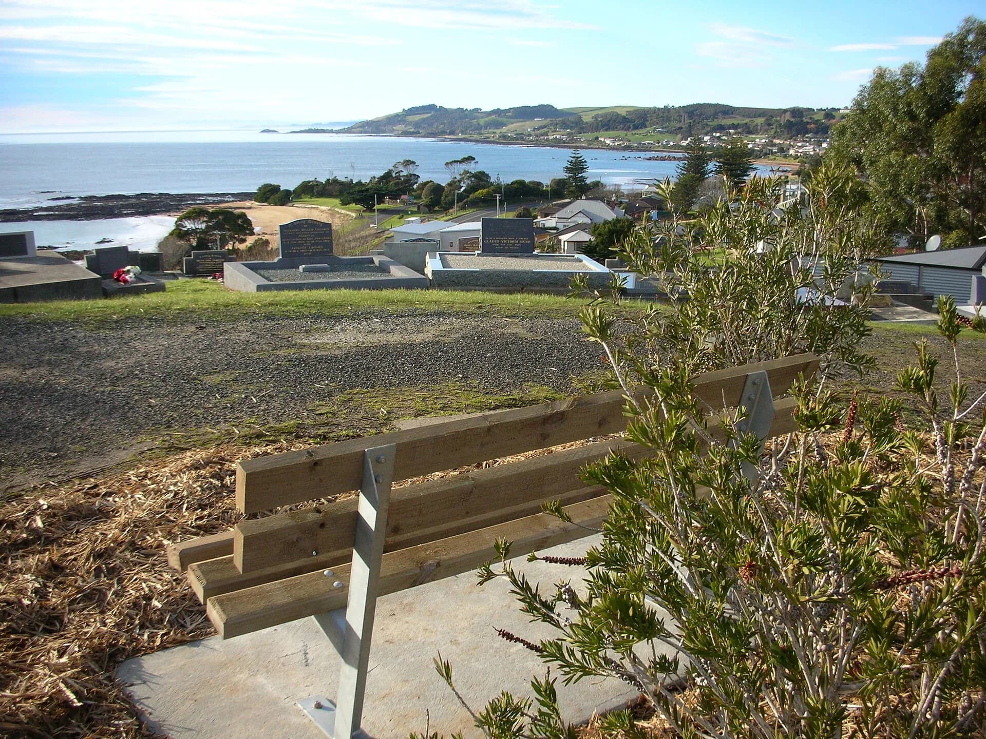

Driving distances are short, but beach conditions, rail crossings and town traffic reward a relaxed day. Check council information for swimming patrols, camping permits and facilities. Continue through the Central Coast beaches or turn inland with the Central Coast hinterland guide.