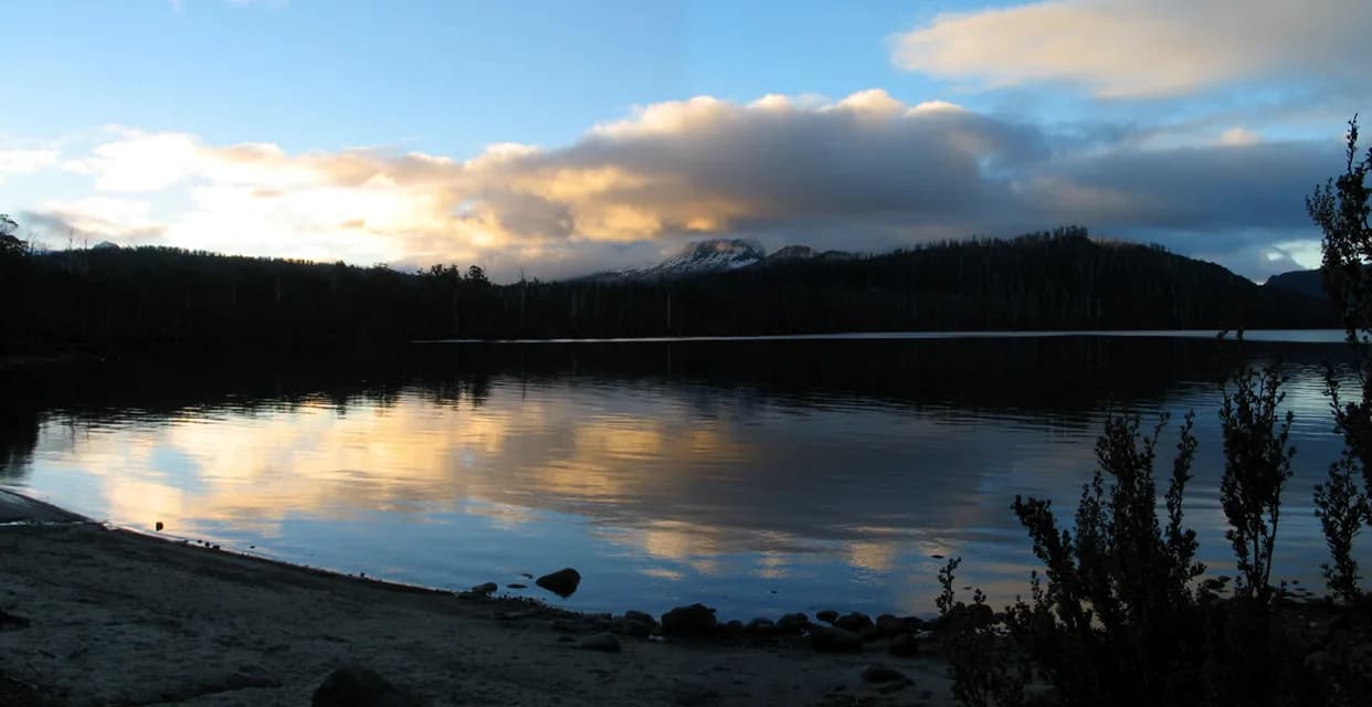

leeawuleena / Lake St Clair is Australia's deepest freshwater lake and the southern visitor area of Cradle Mountain-Lake St Clair National Park. Cynthia Bay has the visitor centre, road access and short-walk network, while the lake extends into remote World Heritage country.
Begin at Cynthia Bay
The visitor centre provides current track, weather and park information. A valid parks pass is required. The centre, café and toilets are wheelchair accessible, with accessible picnic tables near the shore.
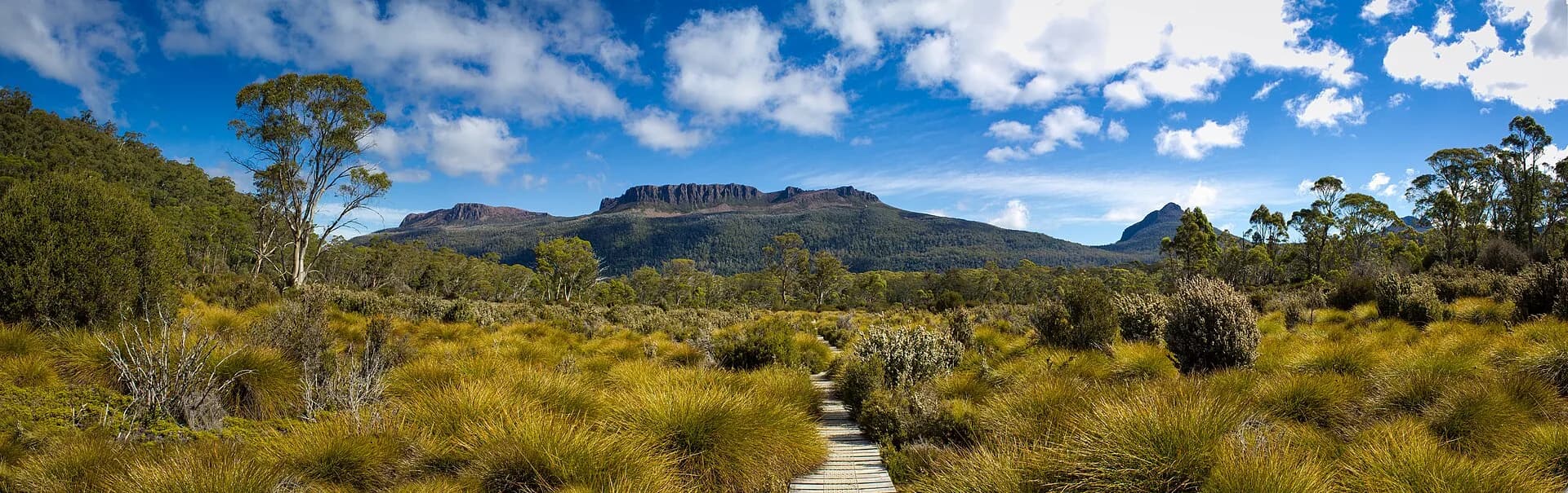

The Watersmeet Trail starts behind the centre and is wide and mostly flat, though some wheelchair users may need assistance. Other walks range from short lakeside loops to full alpine days, so use the official grade and time for the exact route.
Book the ferry before relying on it
The privately operated passenger ferry connects Cynthia Bay with points including Narcissus and Echo Point. Timetables, stops and weather operations change, and a booking is essential when a walk depends on the service.
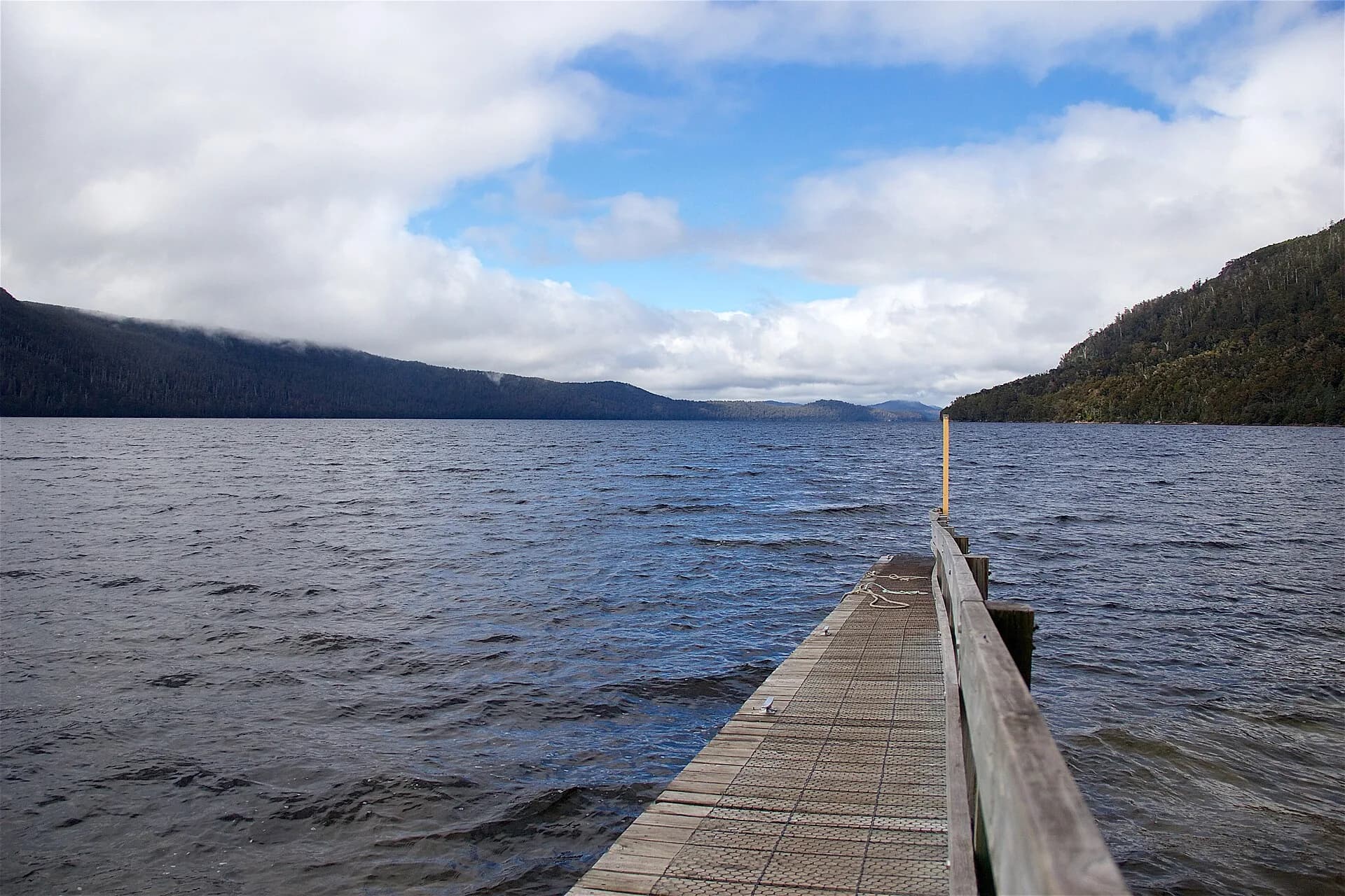

Overland Track walkers must arrange their own finish logistics. The alternative from Narcissus is a further 17.5-kilometre walk along the lake, not a casual fallback after missing a boat.
Prepare for alpine weather and road changes
Snow can close the Lyell Highway or the access road in winter. Cold rain, wind and rapid weather change are possible in any season. Check live park alerts, carry warm waterproof layers and stay on formed tracks.
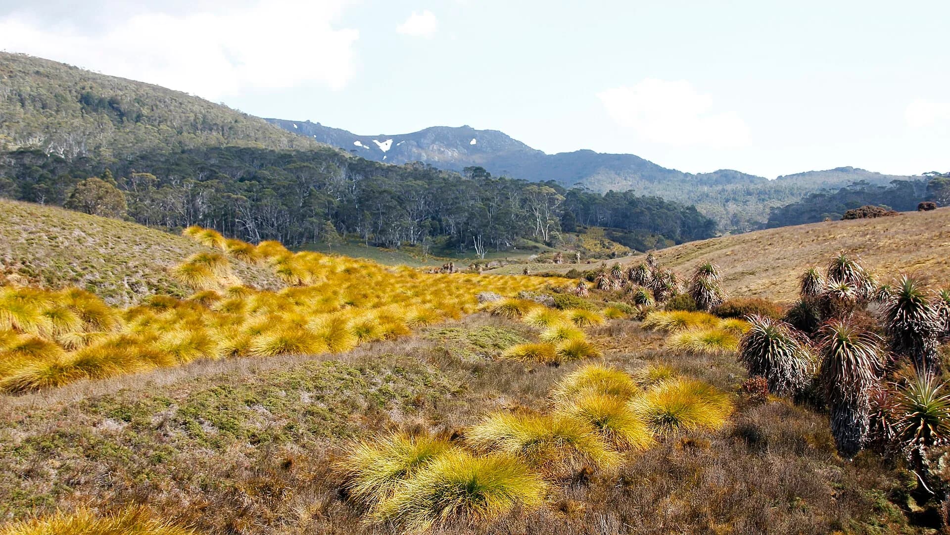

There is no road through the national park to Cradle Mountain. Use Derwent Bridge for nearby services, the Overland Track guide for multi-day logistics and the Cradle Mountain guide for the separate northern entrance.