
Campbell Town sits beside the Elizabeth River near the middle of the road between Hobart and Launceston. That position made it a garrison town, agricultural service centre, coaching stop and modern highway break. The traffic is part of its history, but the town is best understood away from the fuel stops and through its river crossing, streets and memorials.
A planned Midlands town
Governor Lachlan Macquarie named Campbell Town in 1821 as one of a chain of settlements along the colonial road. The district developed as a centre for large pastoral properties and fine-wool production. Convict labour supported roads, bridges, buildings and private estates across the Midlands.
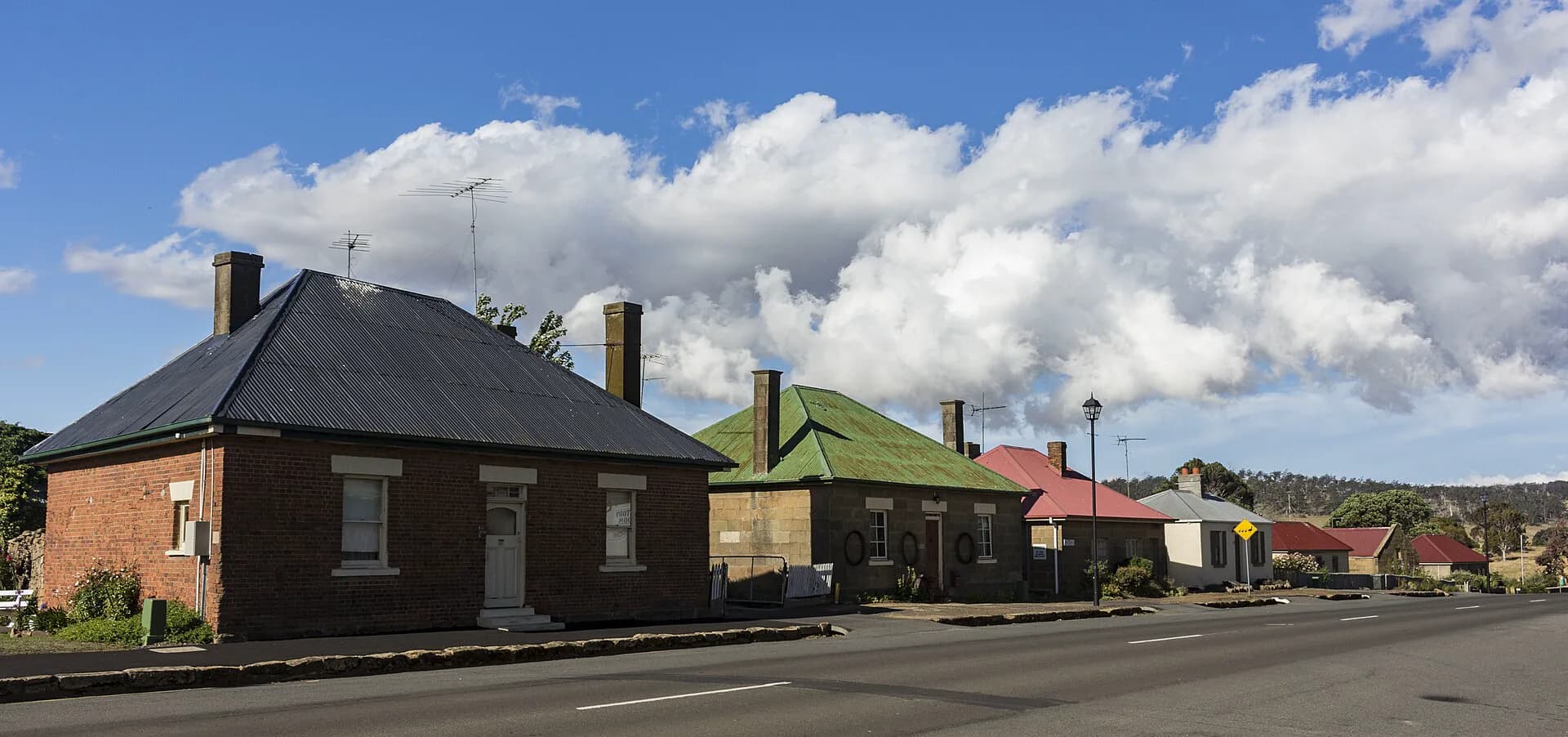
The older streetscape includes churches, cottages, inns and substantial commercial buildings from different stages of that growth. It is not an untouched village. Adaptation, highway traffic and continuing local use are visible throughout.
The Red Bridge
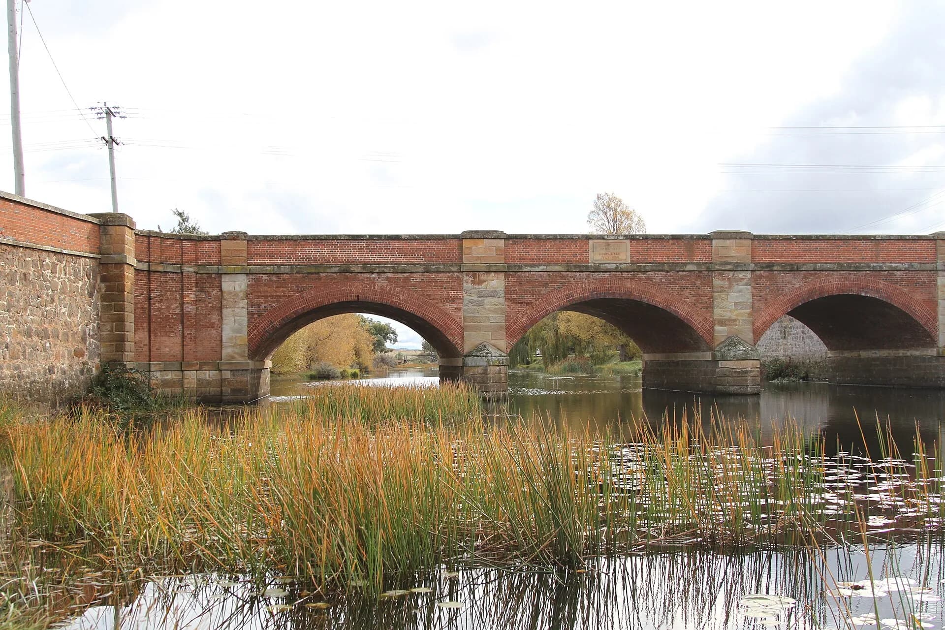
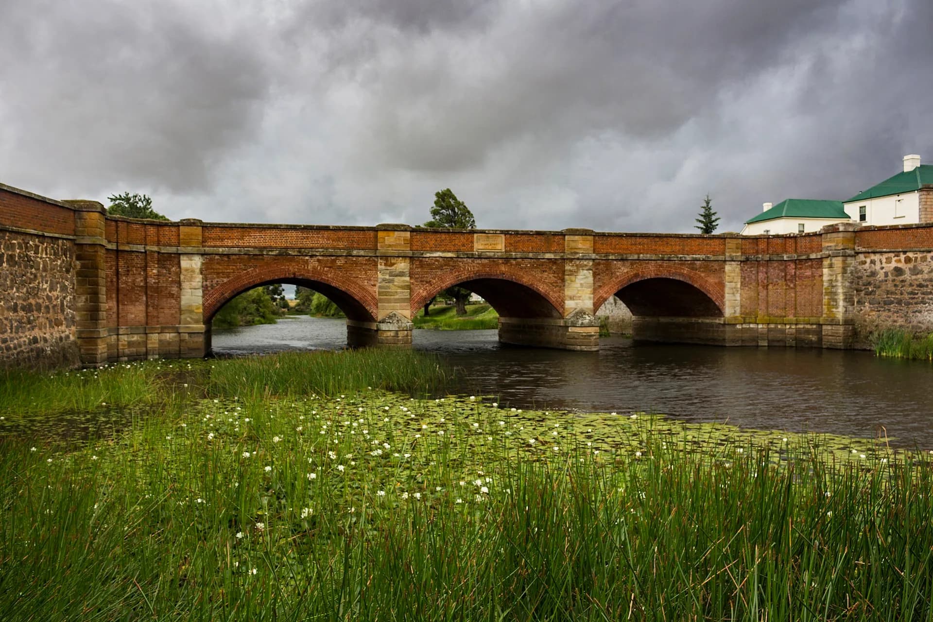
The Red Bridge crosses the Elizabeth River at the southern approach to town. Lieutenant-Governor George Arthur laid its foundation stone in 1836 and it was completed in 1838. Northern Midlands Council records more than 1.5 million handmade bricks in the structure.
.jpg)
The bridge still carries the Midland Highway, an extraordinary continuation of its transport role. View it from the riverbank and park area rather than from the carriageway. This gives a clearer sense of the arches, brickwork and relationship to the river.
Walking the centre
The Convict Brick Trail runs along High Street. Each brick commemorates a convict and records a small set of details, turning the main footpath into a distributed memorial. Read individual bricks, but also consider the limits of reducing a life to a name, ship and sentence.
Nearby buildings include St Luke's Anglican Church, the former Foxhunters Return inn and The Grange. The council's Historic Heart brochure maps a longer sequence. Conditions and uses change, and most heritage buildings are not automatically open to the public.
.jpg)
Planning a stop
Campbell Town is often treated as a halfway pause. Allow at least an hour if you want to walk to the bridge and read part of the brick trail; longer if the museum and information centre is open. Public facilities and food businesses are concentrated around High Street.
The town fits naturally into the Heritage Highway, with Ross to the south and Longford and Perth farther north. Keeping those towns as separate stops makes their different river crossings, town plans and building histories easier to see.