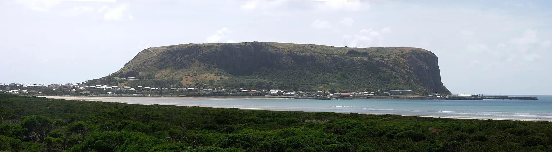

Stanley’s historic centre is compact enough to explore on foot. This route links the harbour, commercial streets, churches and cottages below munatrik / The Nut. It complements the locally produced Stanley Heritage Walk, whose current map and interpretation are available from the visitor information centre.
Begin near the harbour
Start near the port and look back towards the headland. The relationship between safe water, steep ground and a narrow strip of buildable land explains the town’s form. Fishing vessels and working facilities remain part of the harbour, so stay on public paths and keep clear of operational areas.
Walk towards Alexander Terrace and the lower town. Views across roofs reveal how closely buildings gather beneath the headland.

Church Street and the civic centre
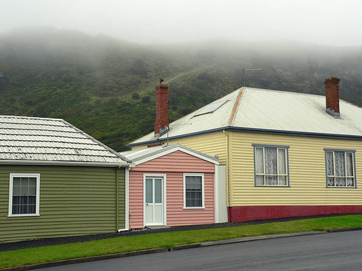
Church Street contains cottages, shops, hotels and community buildings from different periods. Look for changes in construction material, roof pitch, verandahs and setbacks. Some buildings meet the footpath, while others retain small gardens.
The streetscape is significant as a group. A modest cottage can explain daily life as effectively as a prominent public building. Current businesses occupy many older structures, demonstrating continued use rather than a museum set.

Views towards Highfield
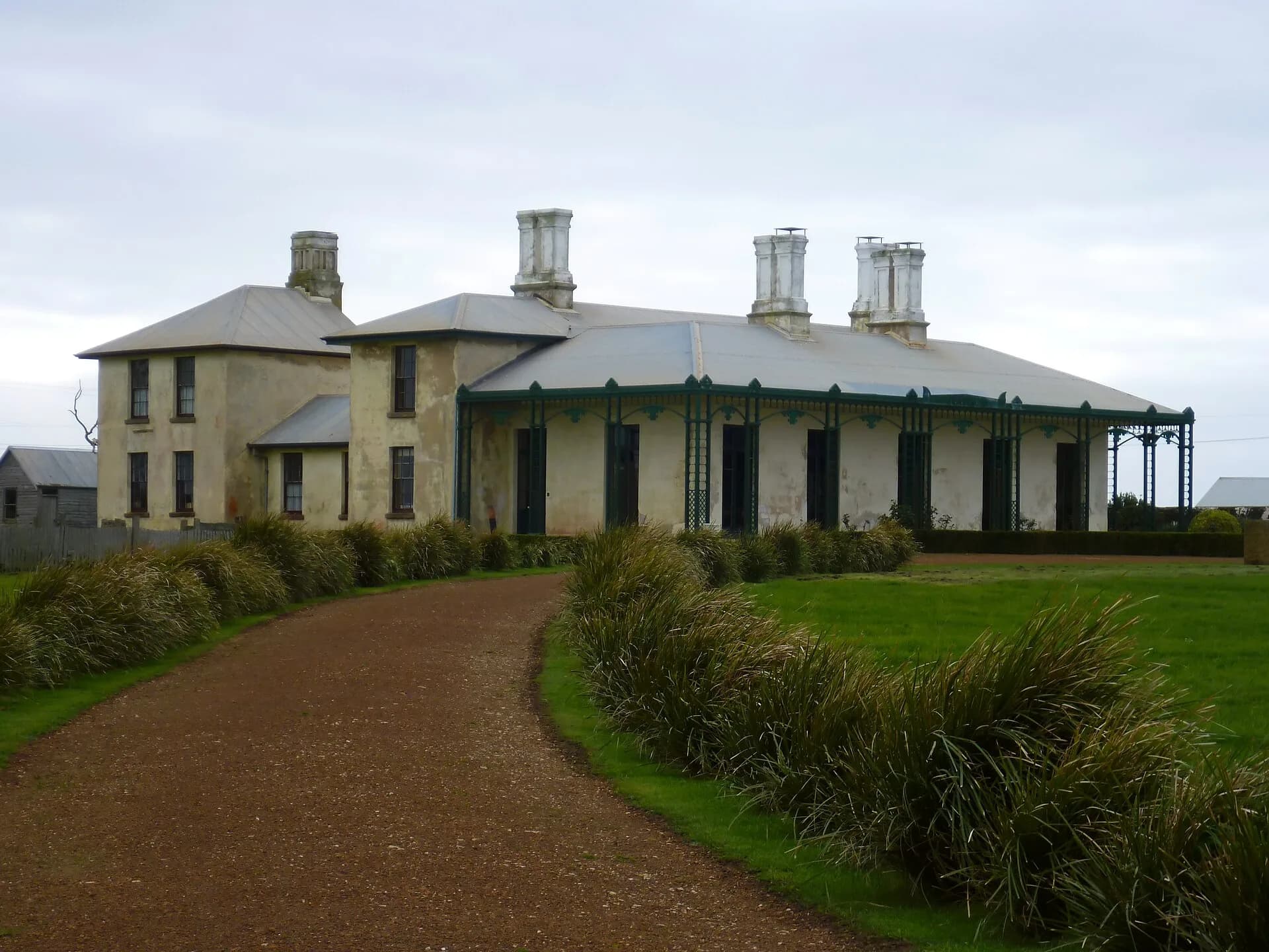
From open points on the western side of town, Highfield can be seen beyond the beaches and farmland. The homestead was the administrative centre of the Van Diemen’s Land Company’s early operations. It requires a separate visit and is not part of this short town loop.
The history of Stanley explains the company grant, Aboriginal dispossession and port development. Reading that context before the walk makes the surviving buildings easier to interpret.
Around the base of munatrik / The Nut
Continue towards the base of the headland. The summit track is steep and exposed and should be treated as a separate walk. A chairlift may operate seasonally, subject to weather and operating conditions. The base and nearby beaches still provide strong views without the climb.
Penguins use parts of the coast after dark. Follow local viewing guidance, keep lights low, do not use flash and never block an animal’s route.
Practical route advice
The town loop is about two kilometres, with some slopes and uneven surfaces. Wind and rain can make exposed sections uncomfortable. Public streets remain in everyday use, so cross carefully and respect homes, gardens and private lanes.
Collect the current heritage-walk guide locally, because building access and businesses change. Allow one to two hours for the town route, or half a day when combined with Highfield or a walk on the headland.