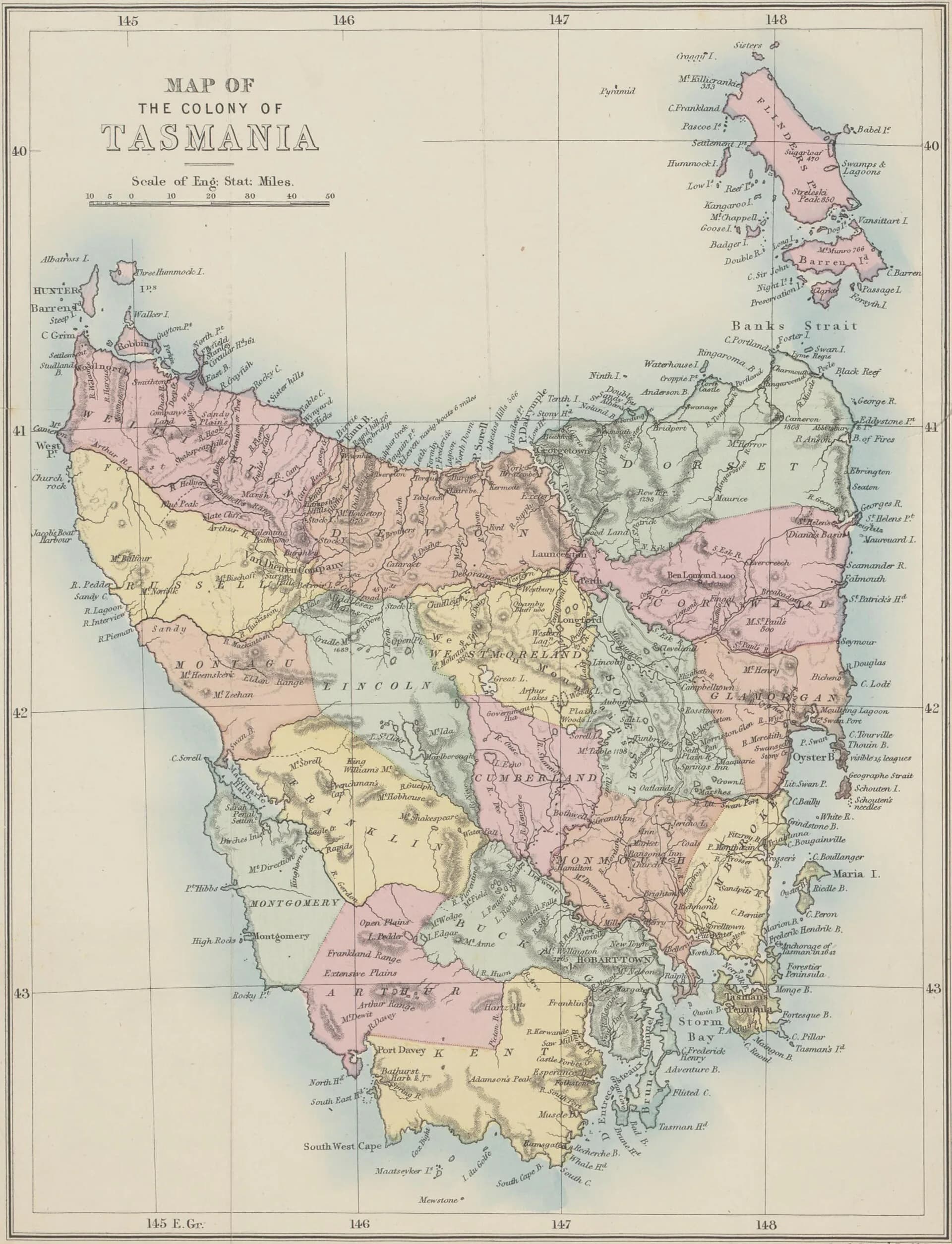

Old maps divide Tasmania into counties with familiar English names. In the north-west, Devon, Wellington and Russell covered large tracts of coast, forest and mountain country. They were cadastral divisions used to describe land. They were not counties with the elected governments or everyday regional identity associated with the word in parts of Britain.
Why counties appeared
British settlement created an urgent demand to survey grants, value land and describe boundaries in legal records. The University of Tasmania's Companion to Tasmanian History records that land commissioners appointed in 1825 divided settled districts into counties, hundreds and parishes. Surveyors then connected those paper divisions to rivers, ridgelines and measured parcels on the ground.

The system expanded as colonial survey work moved west. An 1873 map shows the county grid spread across the island. Devon occupied much of the central north and north-west hinterland. Wellington lay farther west, while Russell covered country to the south-west. Boundaries and later land-district terminology changed, so a county name in a title or deed must be read with its date and map series.
Devon, Wellington and Russell
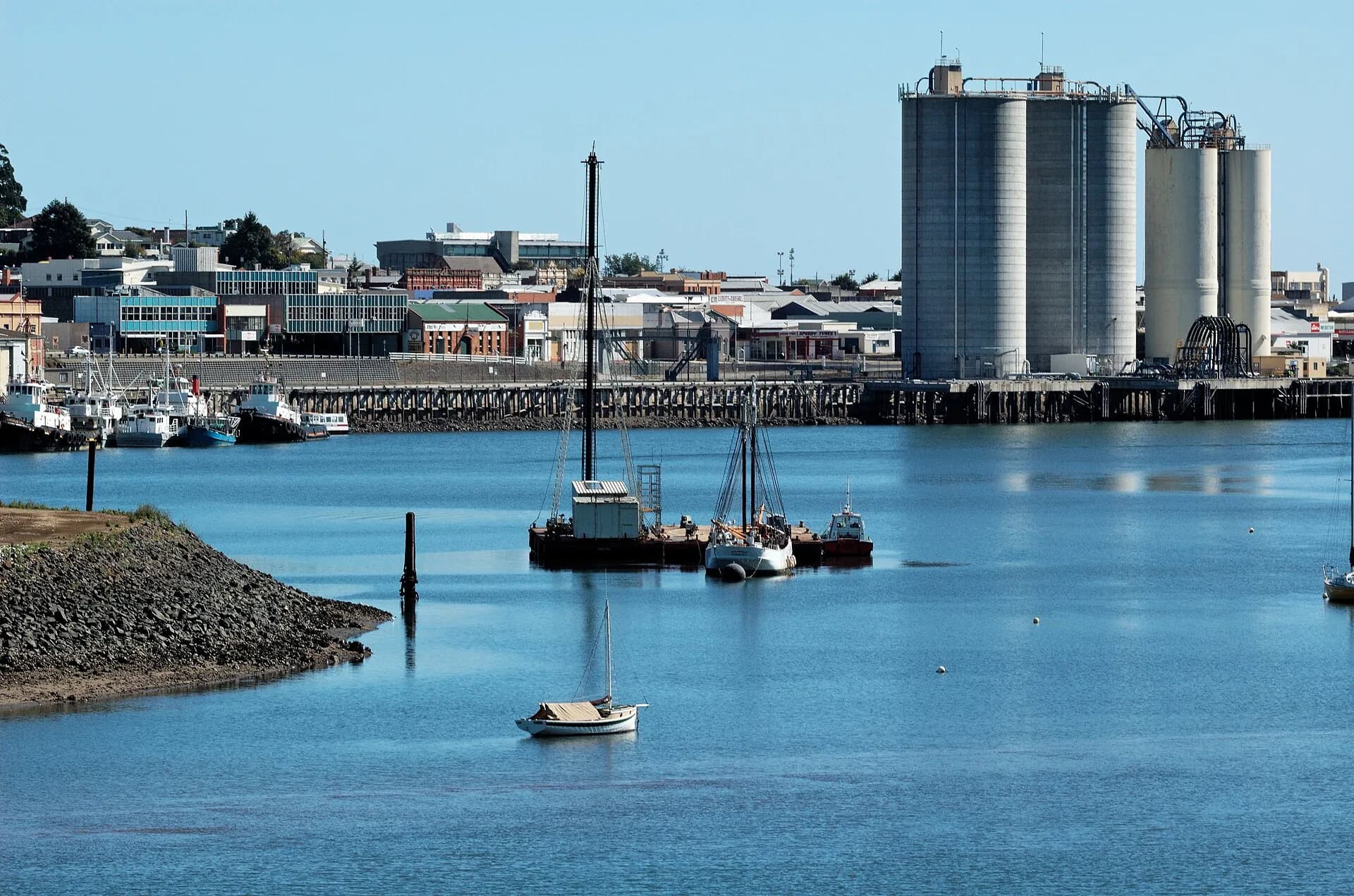
Devon included productive northern country and places that developed around the Mersey and Forth systems. Its name survives most visibly in Devonport, although the town itself began as the separate settlements of Formby and Torquay before municipal consolidation.
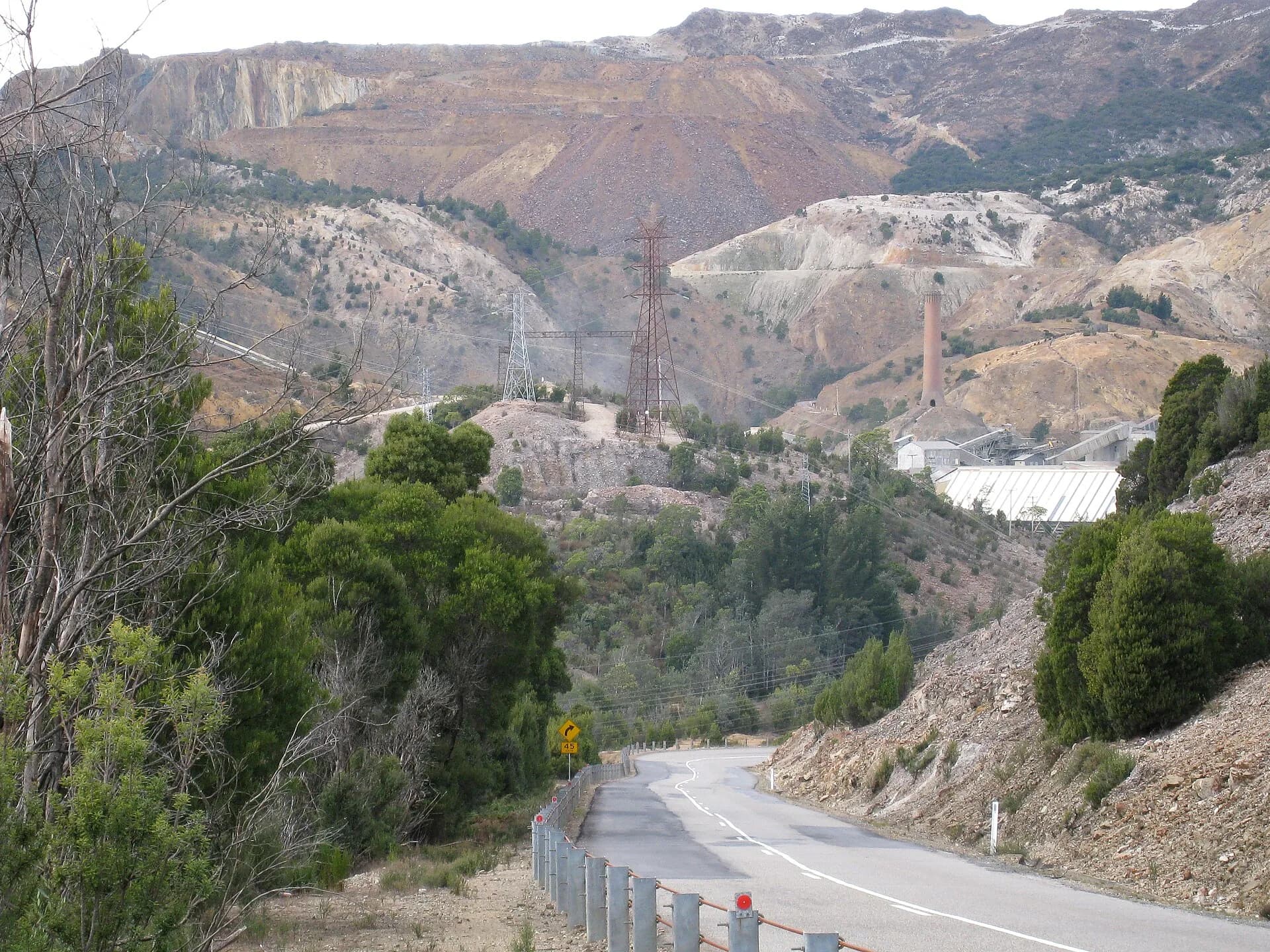
Wellington extended into country strongly associated with the Van Diemen's Land Company and later mining, forestry and railway development. Russell covered rugged western and south-western country where survey lines on a map could be much easier to draw than to traverse.

The neat boundaries can hide a more important history. Cadastral survey converted Aboriginal Country into grants, leases and saleable parcels. The Van Diemen's Land Company received a vast grant in the north-west from 1825, with no regard for the rights of Aboriginal people already living on and caring for that land. County maps are therefore evidence of colonial administration and dispossession, not neutral descriptions of an empty landscape.
How to use a county name in research
Start with the document that contains the name. Record its date, parish, hundred, grant number and any natural boundary. Then compare a map from the same period. Modern council or locality boundaries are unlikely to match.
Placenames Tasmania is useful for current and superseded geographic names. Libraries Tasmania and LISTmap hold historical plans and spatial layers. For family or property research, a county is best treated as one part of a chain of evidence rather than a modern address.