
North-west Tasmania's map records several competing ways of describing land. Aboriginal names, British commemorations, company labels, mining names and practical descriptions sit beside one another. Some have moved from a river to a district or from a property to a town. Others have been replaced but remain in archives.
Start with Country, not the modern region
"North West and West Coast" is a useful travel region, not a single historical or cultural unit. Tasmanian Aboriginal nations and clans held relationships with distinct coastal, inland and island Countries long before a county or municipal boundary existed. Modern use of palawa kani names should follow authoritative Aboriginal sources and official dual-naming records rather than guesswork based on old word lists.
Ports that became towns
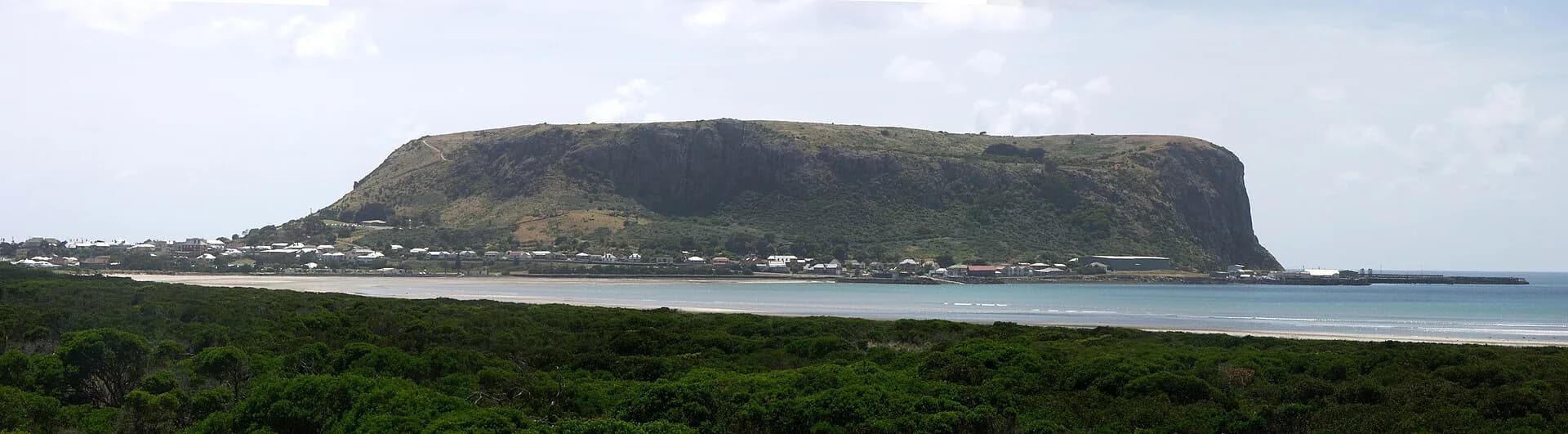
Devonport formed from Formby on the western side of the Mersey and Torquay on the east. The unified town took the name Devonport in the late nineteenth century, drawing on the old county name Devon. Burnie was earlier known as Emu Bay. Stanley grew around the Van Diemen's Land Company's Circular Head establishment beneath the volcanic landform now widely called the Nut.
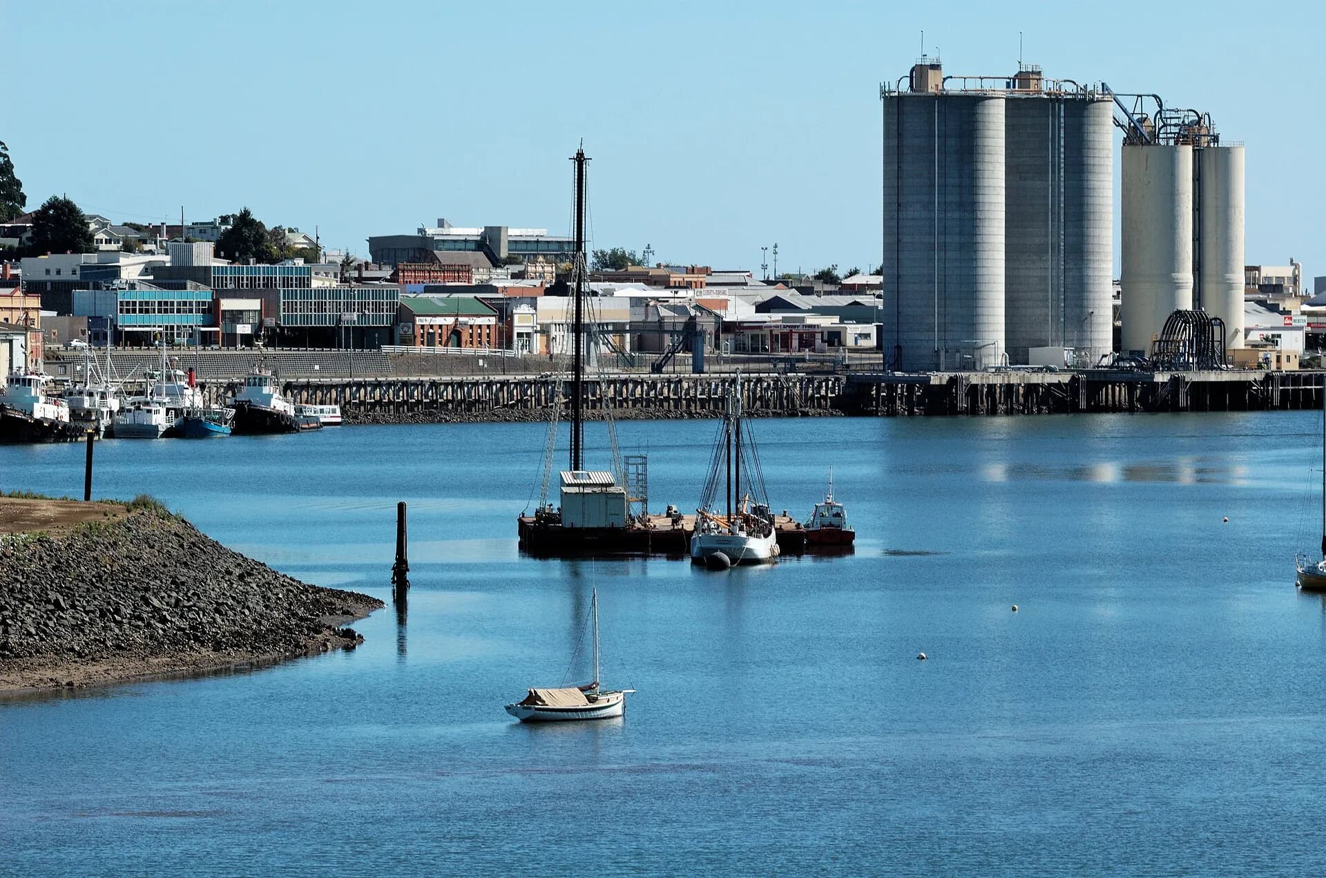

These changes explain why historical newspapers, shipping notices and family records may use a name that is absent from a modern road sign. Search by both the current and former name.
Company and survey names
The Van Diemen's Land Company shaped a large part of the north-west from its 1825 grant. Its surveyors and managers placed names on rivers, ranges, farms and company stations. Henry Hellyer's name survives on a river and gorge. English county names appeared in cadastral divisions described in the old counties of the north-west.
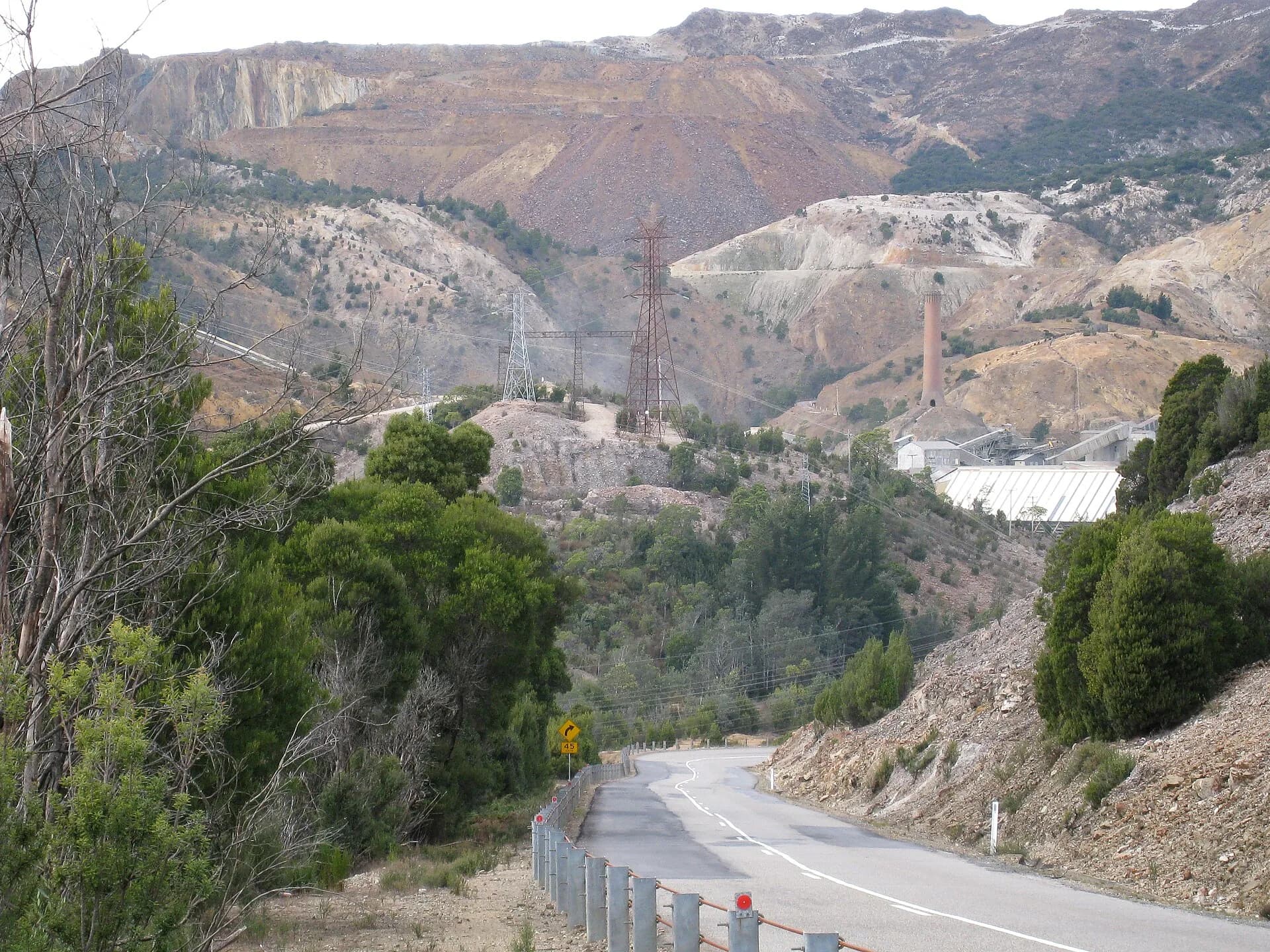

Mining and rail produced another layer. Queenstown, Zeehan, Rosebery, Tullah and former settlements such as Linda or Gormanston belong to a landscape where a discovery, mine or transport junction could create a town rapidly. Some names outlasted the activity that made them prominent; others nearly vanished with it.
Check the feature and the date
Placenames Tasmania is the official register for current names and mapped extents. Historical gazetteers in the University of Tasmania repository can help identify former usage, but their explanations should be tested against maps and archival records. A coastal feature, railway siding, postal district and modern locality can share a name without sharing the same boundary.
For practical research, record spelling variants, dates and the kind of feature. Then compare contemporary maps, later gazetteers and present records. This turns a name from a loose anecdote into evidence about how the region changed.