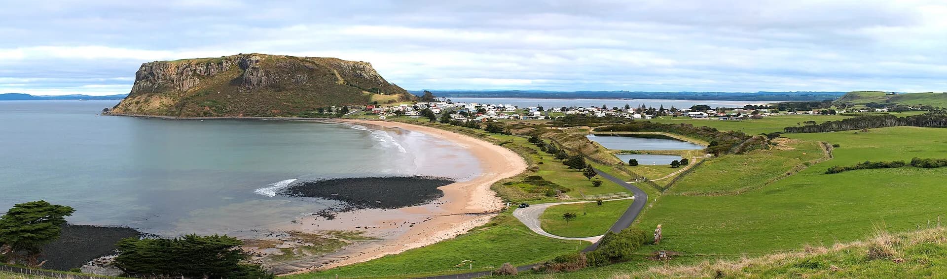

Stanley developed beneath the volcanic landform widely known as The Nut and increasingly acknowledged as munatrik. Its surviving streets and harbour are closely tied to the Van Diemen’s Land Company, but the district’s history begins with Aboriginal Country and includes dispossession that company records long pushed to the margins.
Country and a conspicuous landmark
Aboriginal people lived across the far north-west for thousands of years. The headland, beaches, wetlands and rich coastal resources formed part of an inhabited cultural landscape. British navigators Bass and Flinders used the prominent headland as a reference point in 1798 and called it Circular Head.
The later town and municipality inherited that introduced name. Current interpretation needs to place the company settlement within the much longer Aboriginal history of the region.

The Van Diemen’s Land Company
The company received its royal charter in 1825 and a vast grant in north-west Tasmania. Its staff, livestock, indentured workers and assigned convicts arrived at Circular Head in 1826. Edward Curr directed operations while surveyors and agents assessed land across the region.
The grant ignored Aboriginal ownership and accelerated violent dispossession. The University of Tasmania’s company history records deaths and conflict associated with expansion. This context is essential when reading the impressive buildings and agricultural story that followed.
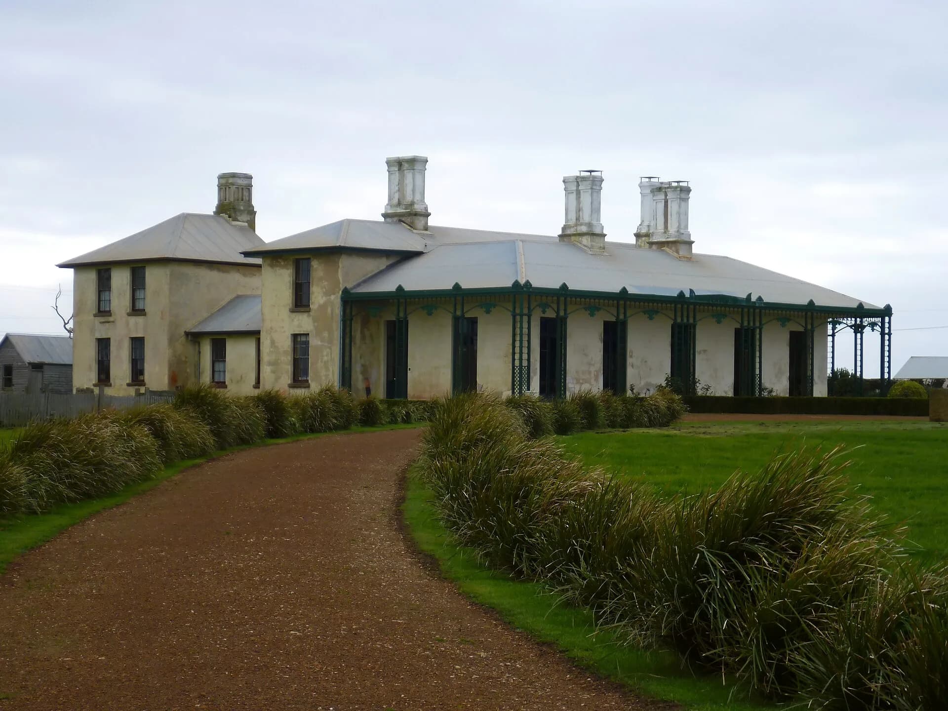
Highfield, on elevated ground west of the town, became the company’s main homestead complex. From there, managers oversaw livestock, labour and scattered estates. The port below connected the enterprise to Launceston, Hobart and overseas markets.
A port and service town
Stanley grew around stores, cottages, churches, hotels, government buildings and maritime work. Its sheltered harbour handled produce and supplies, while fishing became an enduring part of local life. Smithton later developed as the larger administrative and commercial centre for Circular Head.
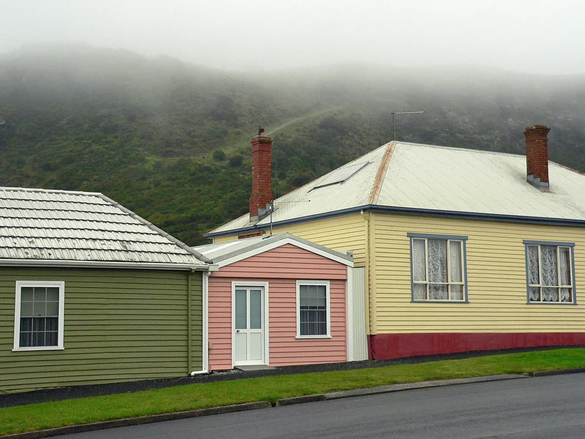

The streetscape survived partly because later growth occurred at a modest scale. That does not make every building unchanged. Uses, verandahs, interiors and property boundaries have evolved, and historical photographs help separate original fabric from later restoration.
Stanley today
Heritage tourism, fishing, agriculture and visitor services now overlap. The Stanley heritage walk is the clearest introduction to the town, while Highfield explains the company’s ambitions and labour system. The summit or base circuit of munatrik / The Nut provides a physical sense of the landscape that directed settlement.
Treat the town as more than a colonial postcard. Its history includes Aboriginal survival, coerced and indentured labour, business calculation, family life and the continuing work of a north-west port.