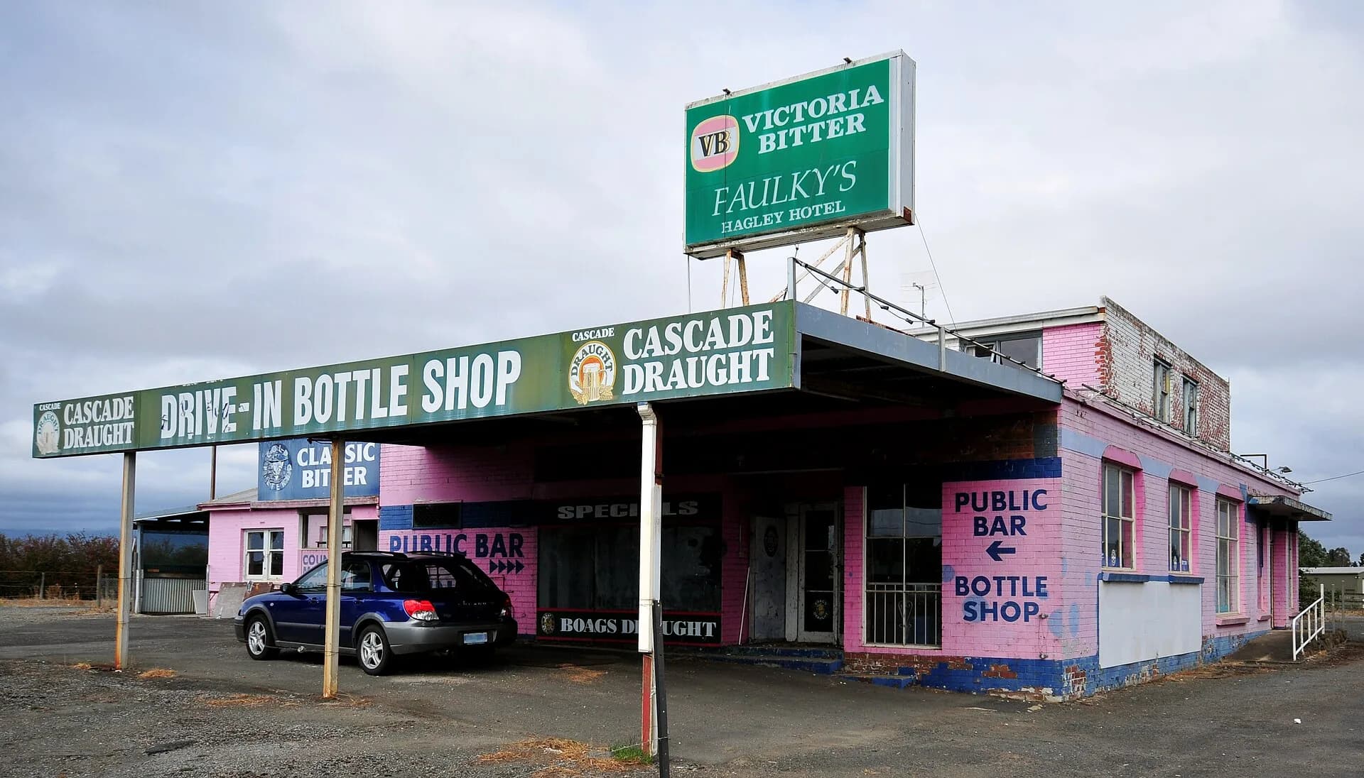

Hagley is a small farming town west of Launceston, close to the Meander River and the road towards Westbury and Deloraine. It is easy to pass at highway speed, but its school, churches and older buildings reveal the civic structure of a nineteenth-century rural settlement.
A town in productive country
The surrounding plains supported grain, livestock and mixed farming. The Great Western Tiers rise to the south, creating a strong landscape edge and influencing water, weather and movement through the district.
Hagley did not develop into a large commercial centre. Westbury and later Launceston provided many services, while the village retained institutions serving nearby farms.
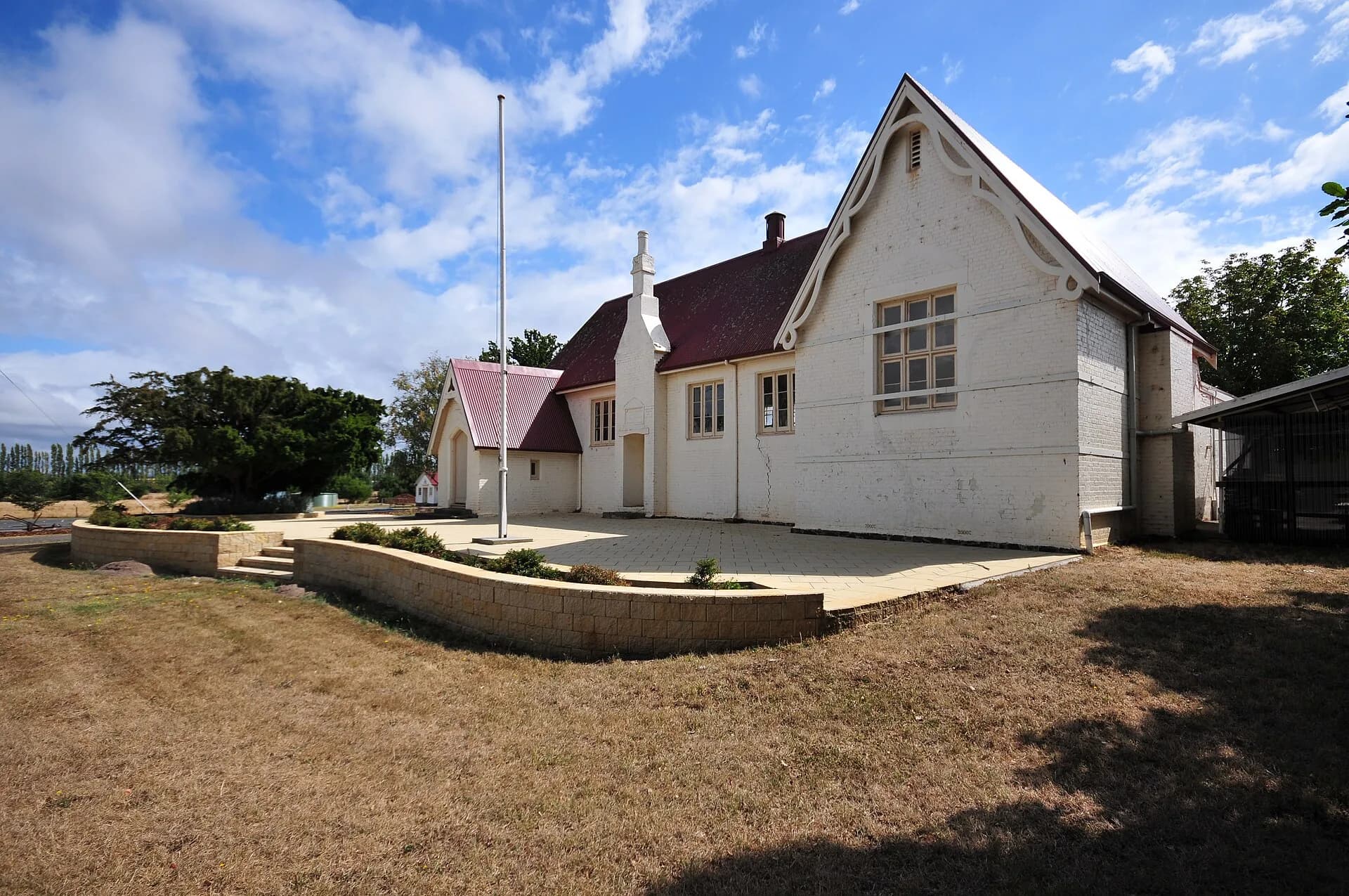

Hagley Farm School
The 1865 school building is a prominent part of the town’s heritage. Education at Hagley later became closely associated with practical and agricultural learning, reflecting the district’s economy. The school remains an active educational place, so visitors should view buildings from public areas unless access is explicitly offered.
The site shows how a rural school can become a long-running community institution rather than simply a preserved classroom.
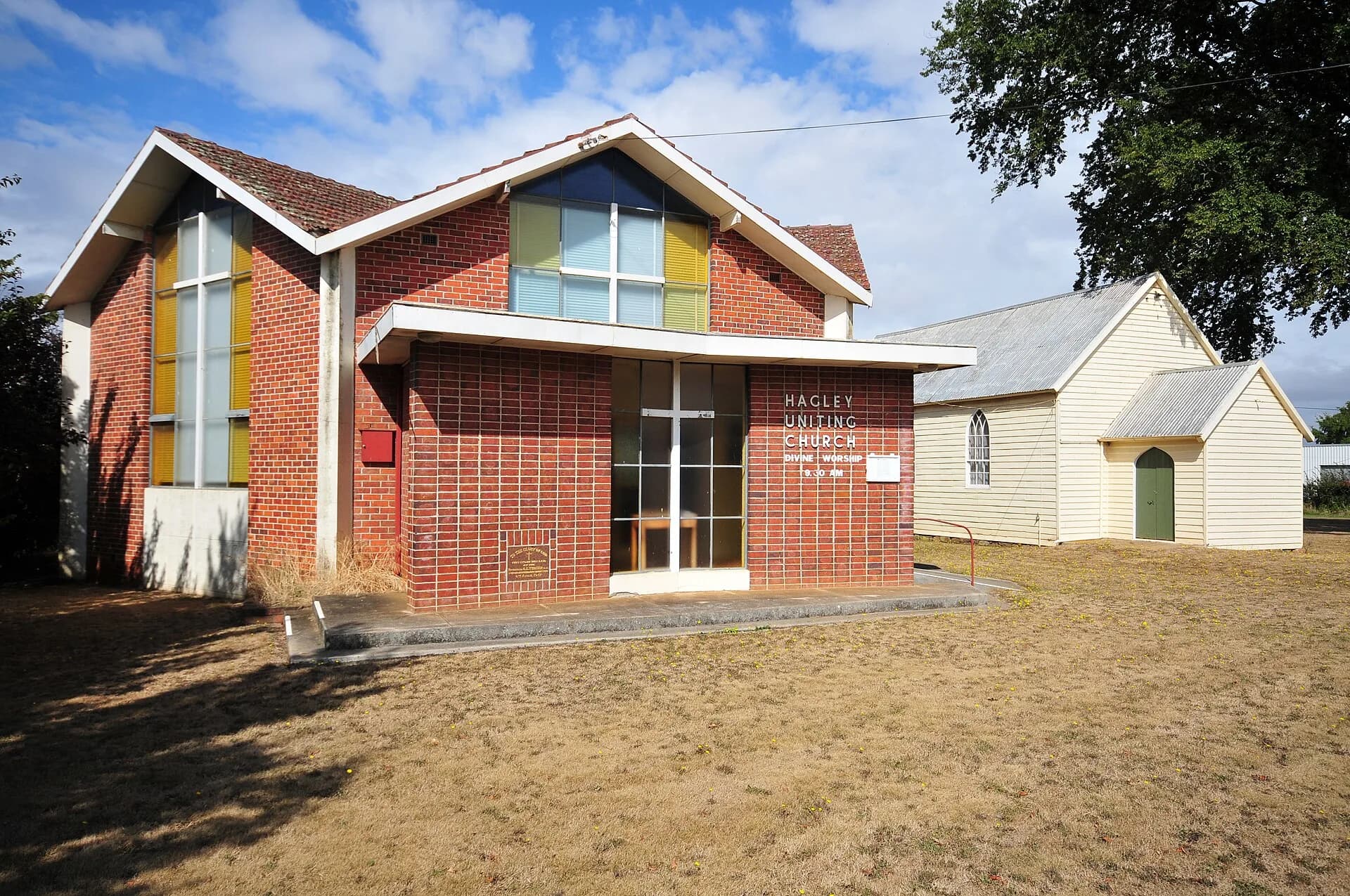

Churches, hotel and village form
Churches and the hotel mark different parts of community life. Their scale is modest compared with grander Midlands towns, but they help show how settlement spread along roads rather than around a dense centre.
For any individual building, check the Tasmanian Heritage Register and local planning information. A heritage listing describes assessed significance; it does not make a private property open to visitors.
A short stop on a longer route
Allow an hour to look at the village from public streets. Hagley combines naturally with Westbury, Deloraine or the Heritage Highway. The route to Cradle Mountain lies farther west, but mountain travel needs a separate plan.
Agricultural machinery and heavy vehicles use local roads. Park clear of gates, avoid entering fields and take care on roads without continuous footpaths.