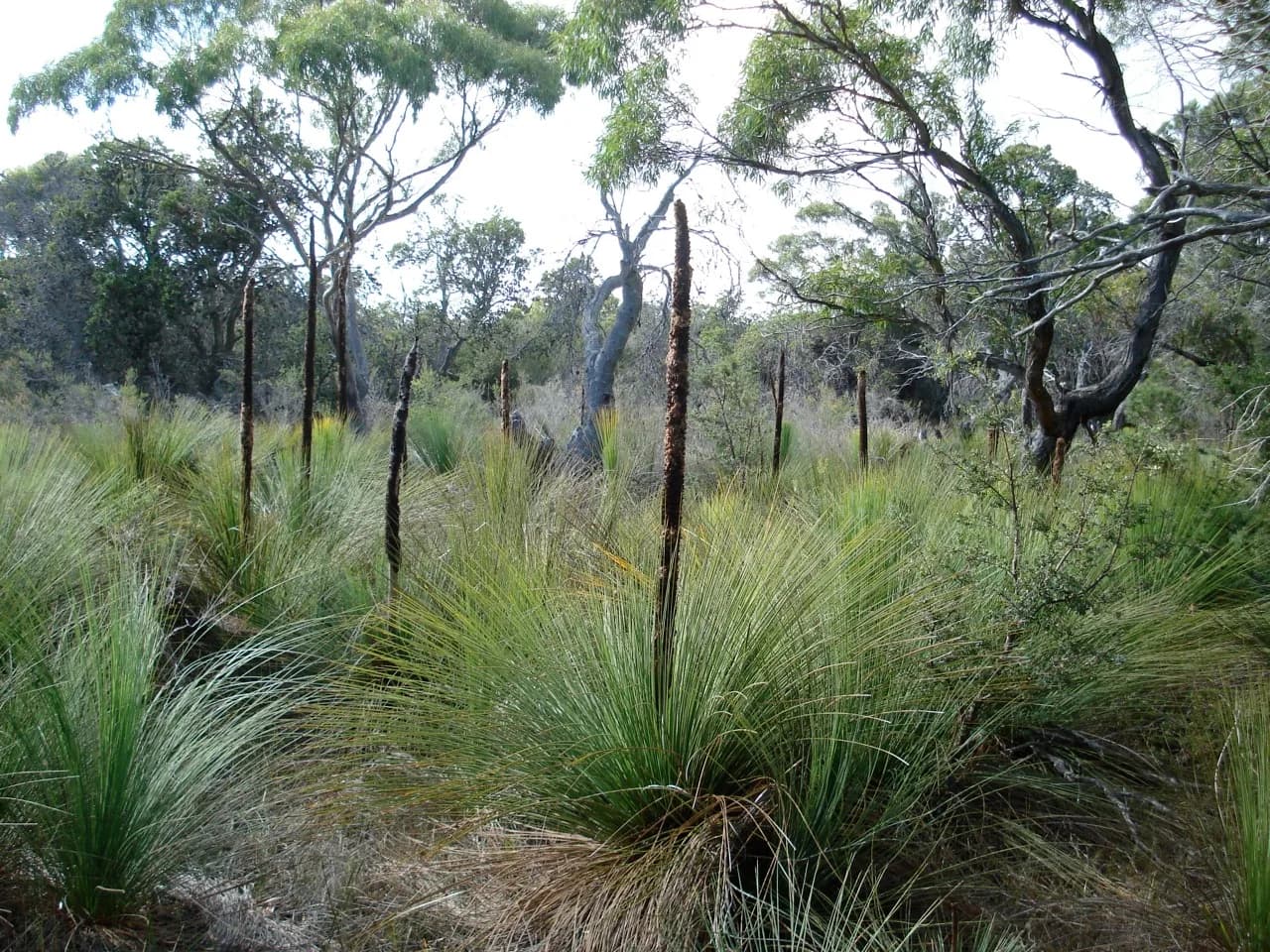

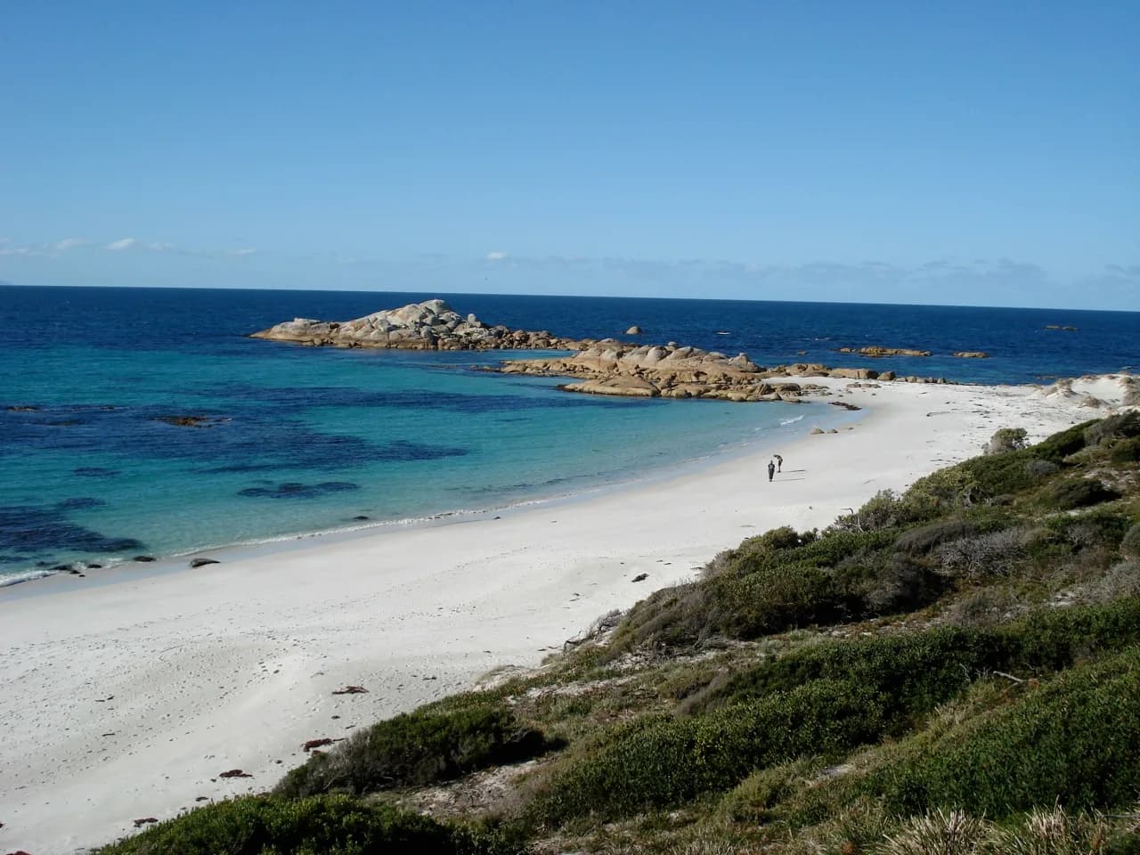
Mount William National Park occupies a remote part of Tasmania’s north-east coast, between Musselroe Bay and larapuna / Bay of Fires. Beaches, coastal heath and granite headlands are the obvious draw, but distance and limited services shape every visit.
Walk wukalina / Mount William or the coast
The park’s namesake is officially dual named wukalina / Mount William. Parks Tasmania describes the summit walk as about 90 minutes return on a defined track. The high point is only 216 metres, yet its open position gives wide views in clear weather.
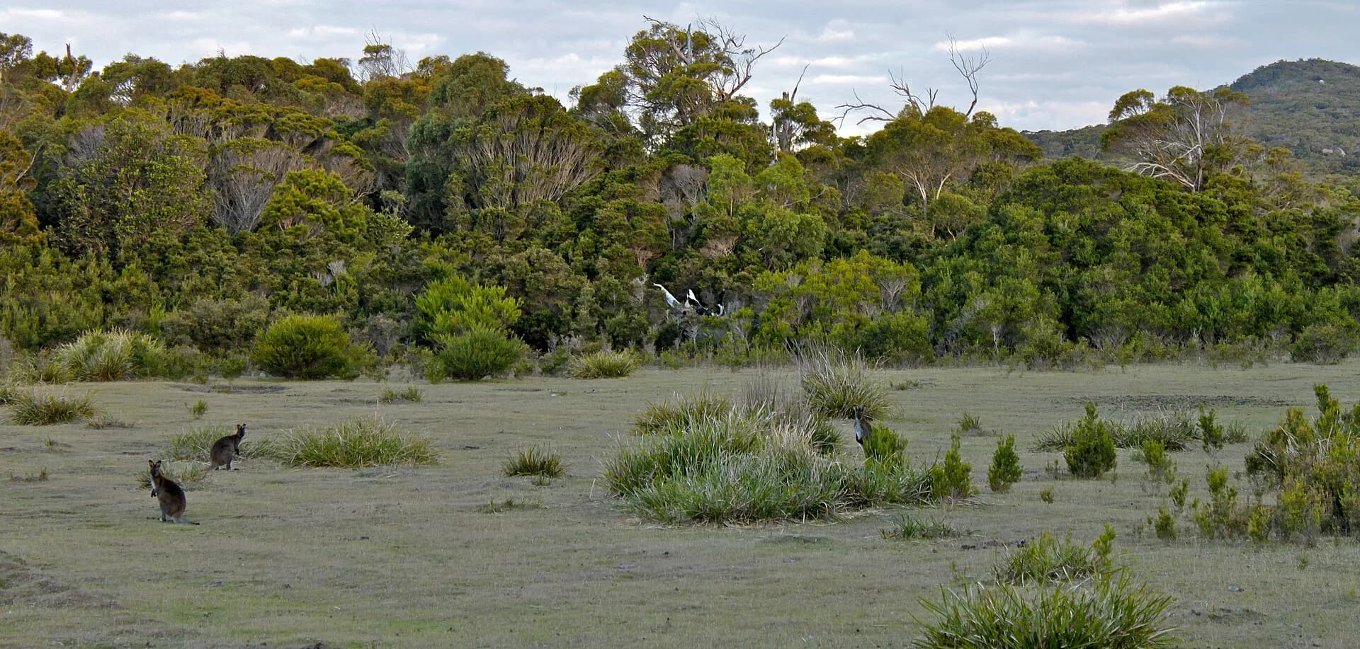

Cobler Rocks is a longer coastal option, while beach walking can be tailored to conditions. These are unpatrolled beaches. Rips, undertows, reefs and cold water remain hazards even when the coast looks calm.
Camping is simple and self-reliant
Parks Tasmania currently lists six designated campgrounds, including sites around Stumpys Bay and Deep Creek. Facilities are basic. Pit toilets are provided, but there is no drinking water or power, and large caravans and motorhomes are unsuitable for the narrow access tracks.

Check the official camping page for current fees, fire restrictions and site access. Bring drinking water, take all rubbish away and use a fuel stove because campfire rules can change with conditions.
Allow time for the unsealed roads
The northern entrance is reached from Gladstone by unsealed roads. Deep Creek, near Eddystone Point, can be approached from St Helens or Gladstone. Wildlife is common on these roads, so travel slowly and avoid driving around dusk or after dark where possible.
.jpg)
The park contains protected Aboriginal cultural places, including shell middens. Leave shells, stone and other material exactly where it lies, keep vehicles on formed routes and follow all closures and signs.
Plan supplies and fuel before leaving St Helens or Gladstone. Ansons Bay, Cape Portland and larapuna / Bay of Fires provide useful regional context, but each requires its own access plan.