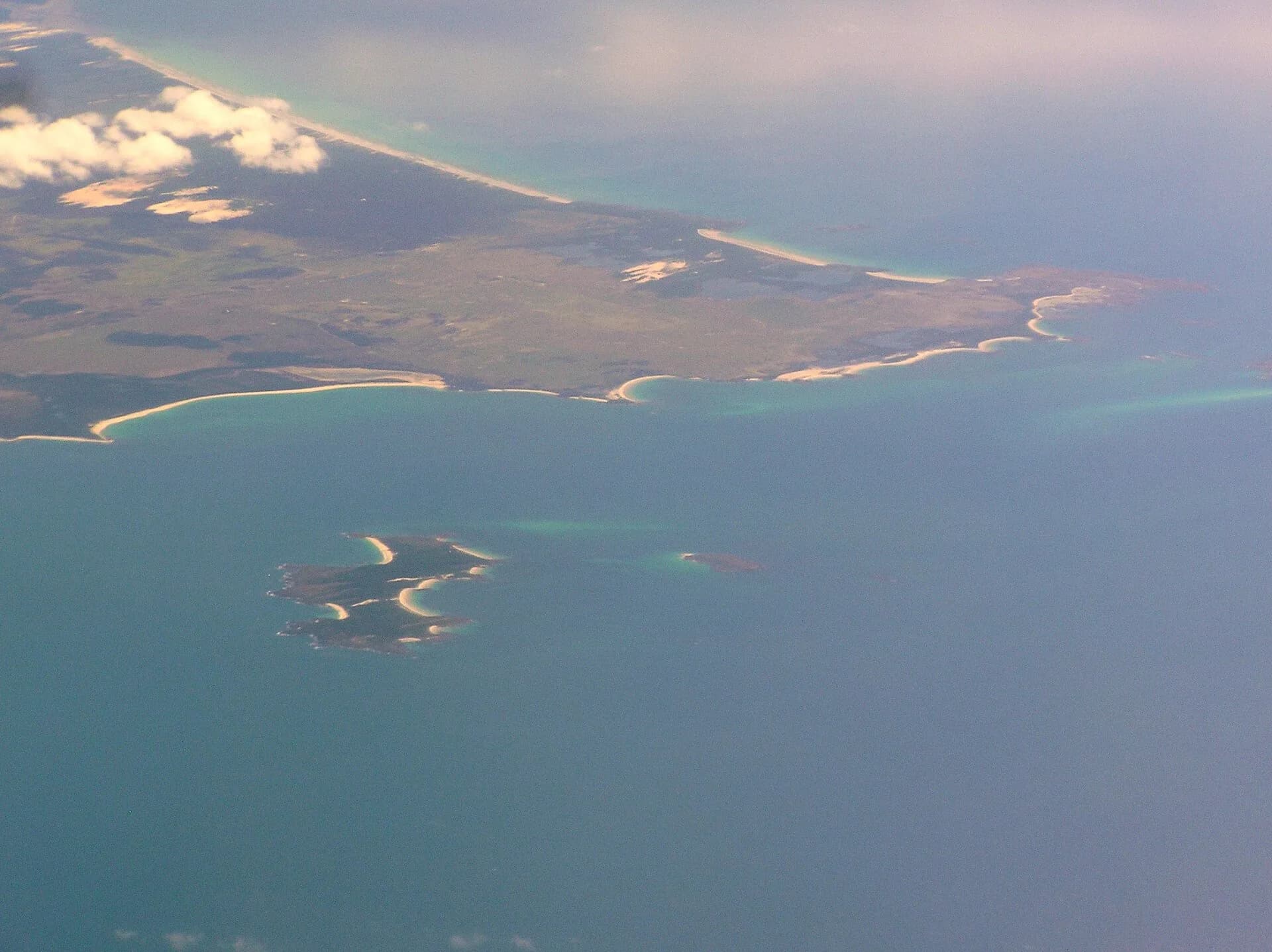

Cape Portland occupies Tasmania’s far north-east corner, where Bass Strait, Banks Strait, farming land and wetlands meet. It is a dispersed district rather than a compact visitor town.
Read the landscape at a large scale
The cape includes working farms, wind-energy infrastructure, long beaches, lagoons and low coastal country. Islands visible offshore include Swan Island and smaller features in Banks Strait.
Roadside views do not imply public access. Respect farm gates, wind-farm infrastructure and signed private roads. Coastal weather changes quickly, and exposed beaches can have strong current, wind and little shelter.
Nearby conservation areas
Mount William National Park protects a wider section of the north-east coast south of the cape. Little Musselroe Bay provides park access and basic camping, subject to current Parks Tasmania conditions and a valid parks pass.
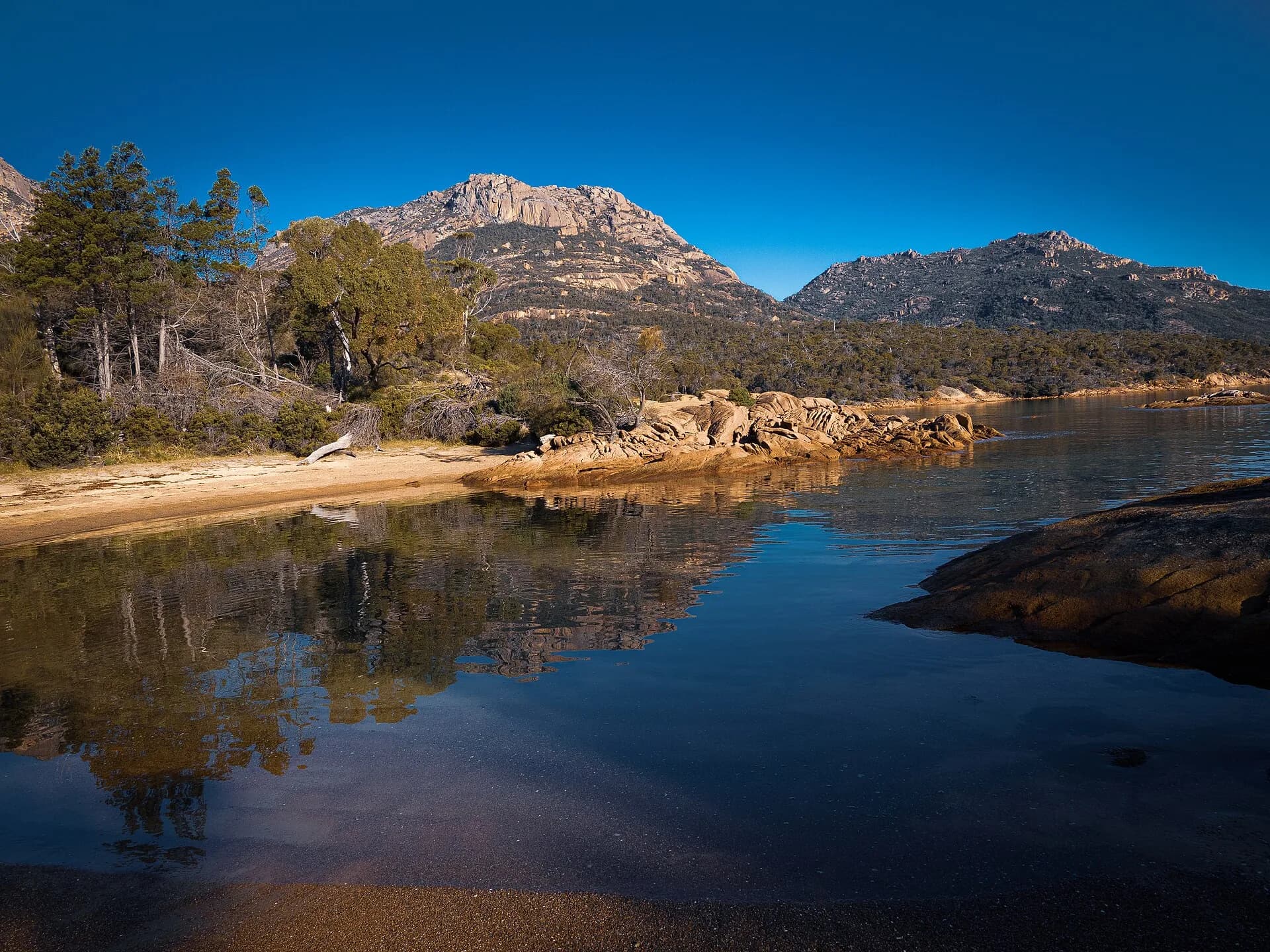

Lagoons and wetlands support birds and other wildlife. Observe from formed public access, clean boots and equipment to reduce pathogen spread, and never drive onto vegetated dunes.
Plan for distance
There is no Cape Portland town centre with a normal range of services. Carry water, food and sufficient fuel, download maps and tell someone your route. Check fire restrictions, park alerts and road conditions before leaving the settled north-east.
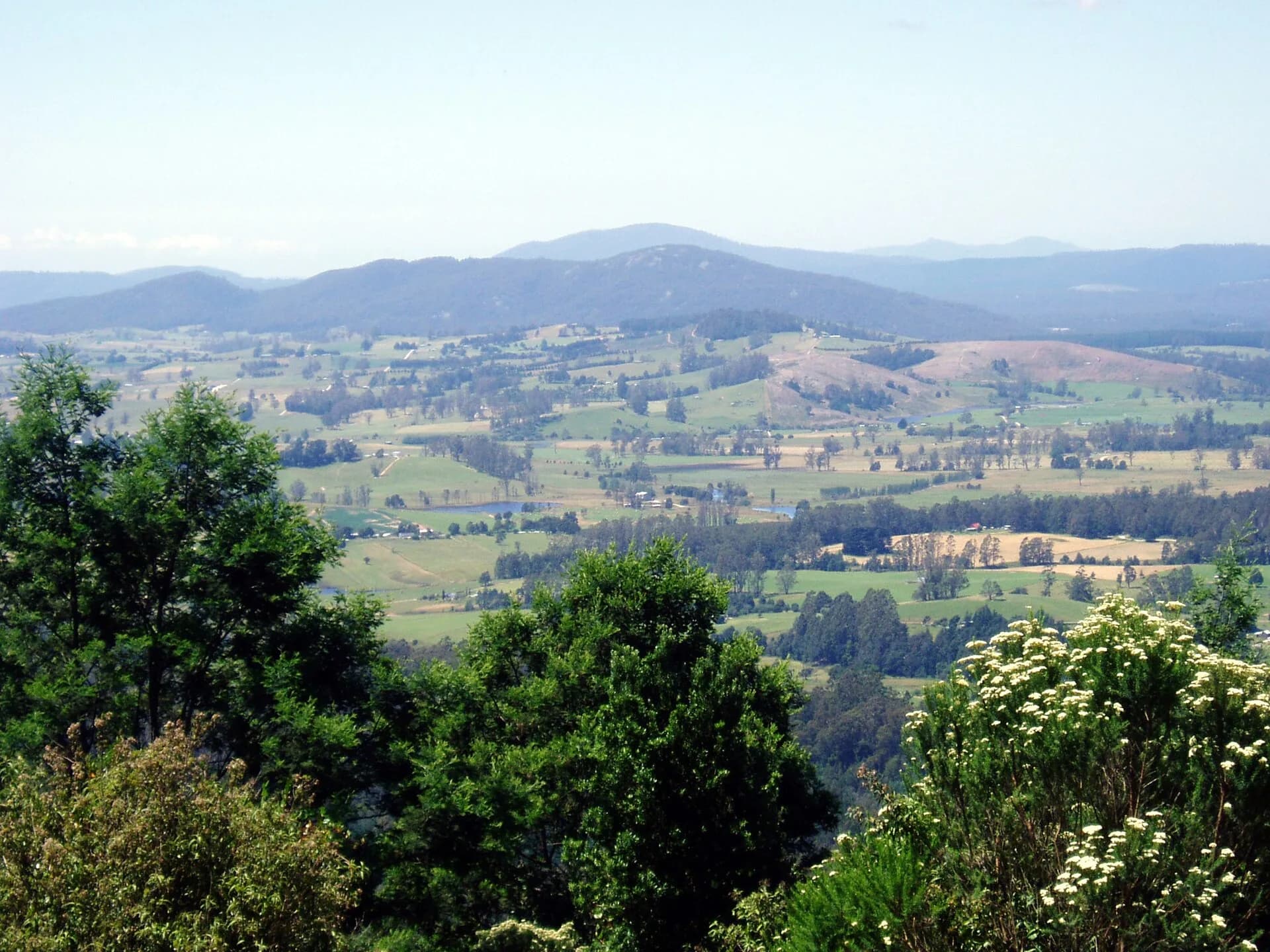

Cape Portland works best within a deliberate north-east journey that includes Scottsdale and the north-east or St Helens, with enough time to return before dark.