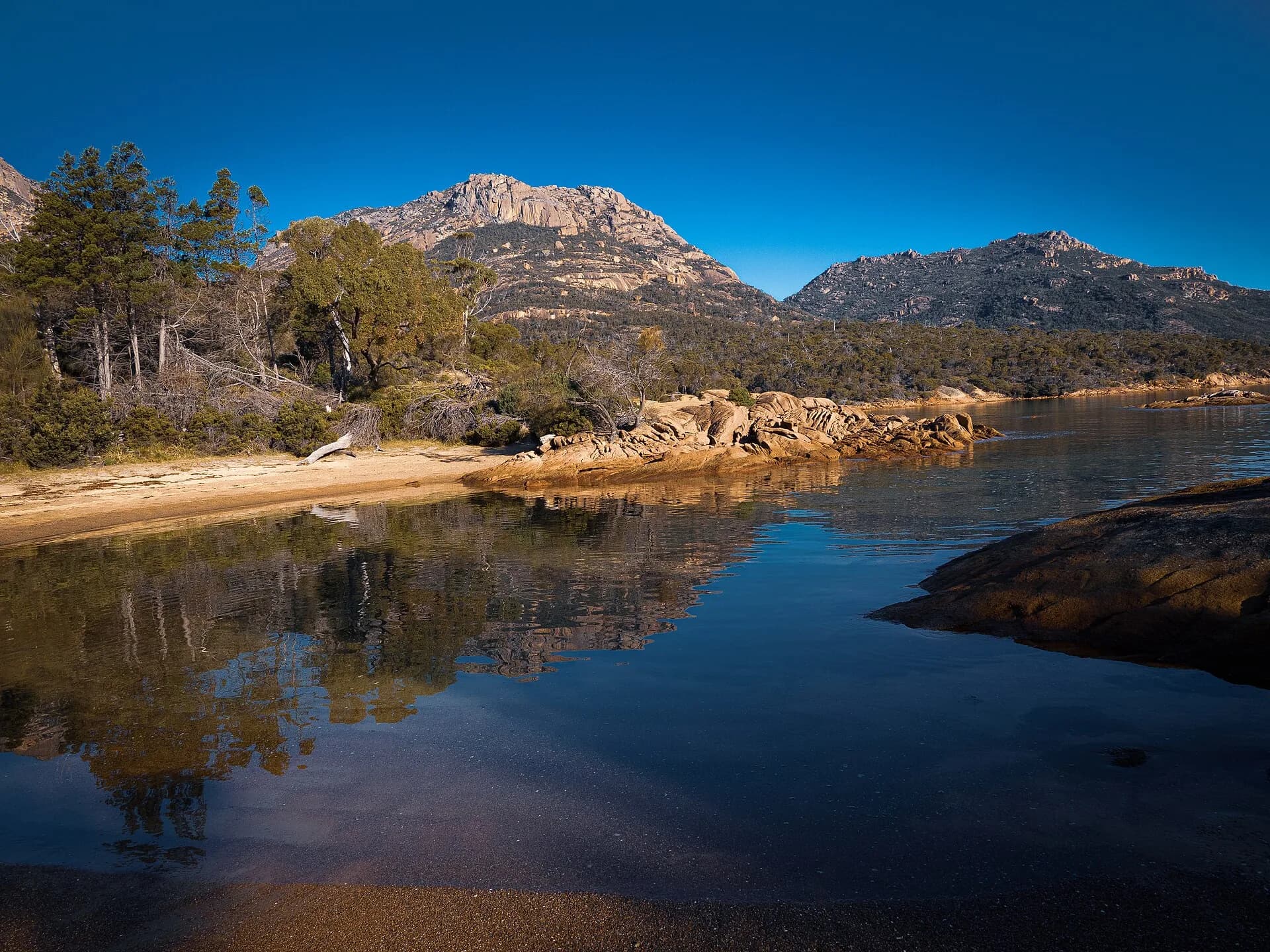

Tasmania’s East Coast stretches through sheltered bays, dry forests, granite headlands, farming districts and small towns. The Tasman Highway links most of the region, but a useful trip needs time away from the road as well as realistic driving hours.
South: Orford and Maria Island
Orford faces Maria Island across Mercury Passage. The ferry departs from Triabunna, and island visits require separate planning for bookings, food, water and biosecurity. Beaches and short coastal walks make this southern section a practical first stop from Hobart.
Freycinet and Great Oyster Bay
Freycinet National Park protects the Hazards, Wineglass Bay, Friendly Beaches and a varied granite coastline. It lies within Oyster Bay nation Country and contains significant Aboriginal sites. Stay on tracks and never disturb shell middens or artefacts.
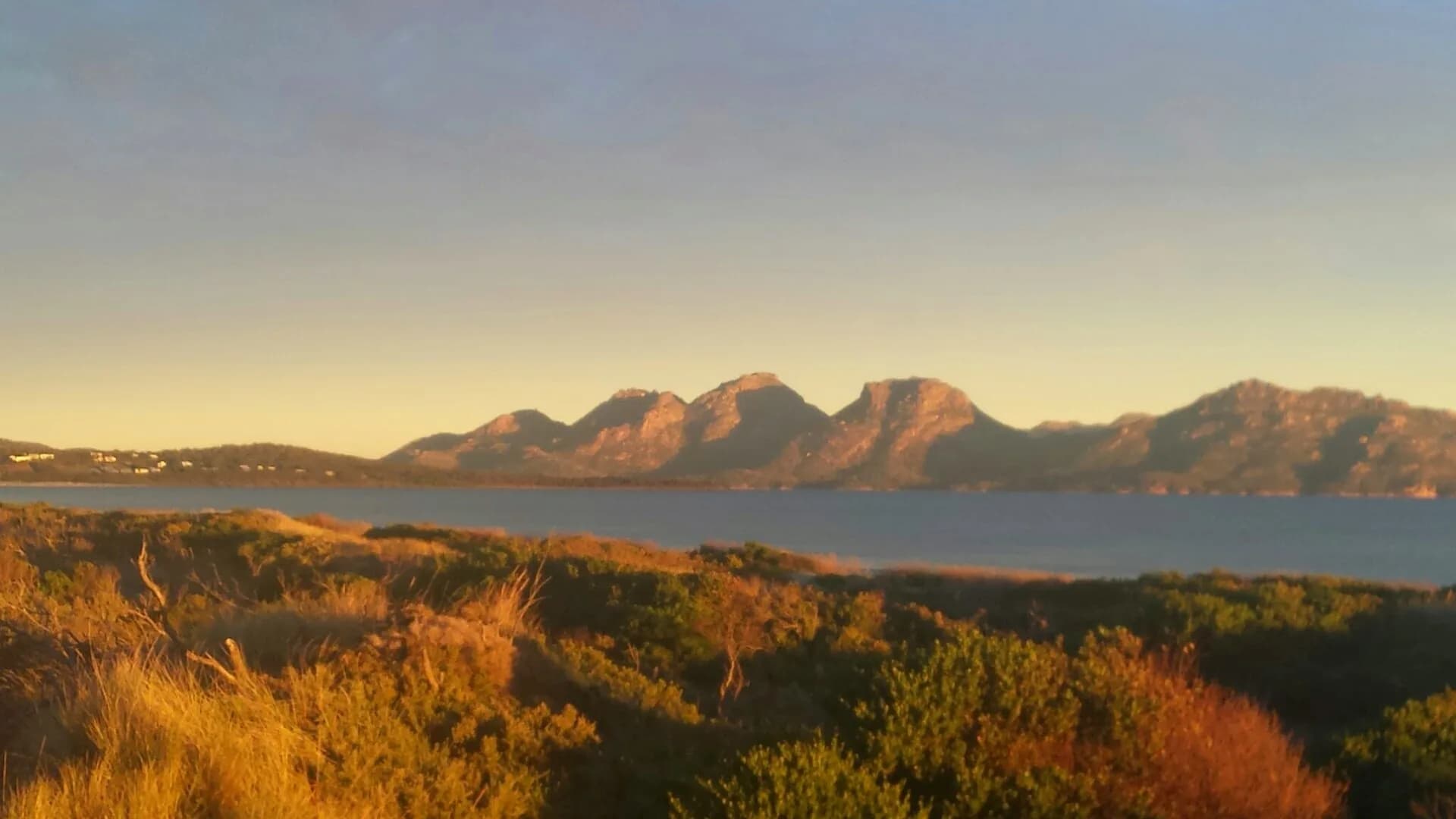

A parks pass is required. Popular car parks and tracks can be congested, especially in summer. Carry water because supply within the park is limited, and choose a walk suited to current heat, wind and granite surfaces.
Bicheno and Douglas-Apsley
Bicheno provides fuel, food and accommodation between Freycinet and St Helens. Nearby Douglas-Apsley National Park protects dry forest, rivers and gorges. Flooding can make river crossings unsafe, and some access roads are rough or subject to weight limits.

North to St Helens
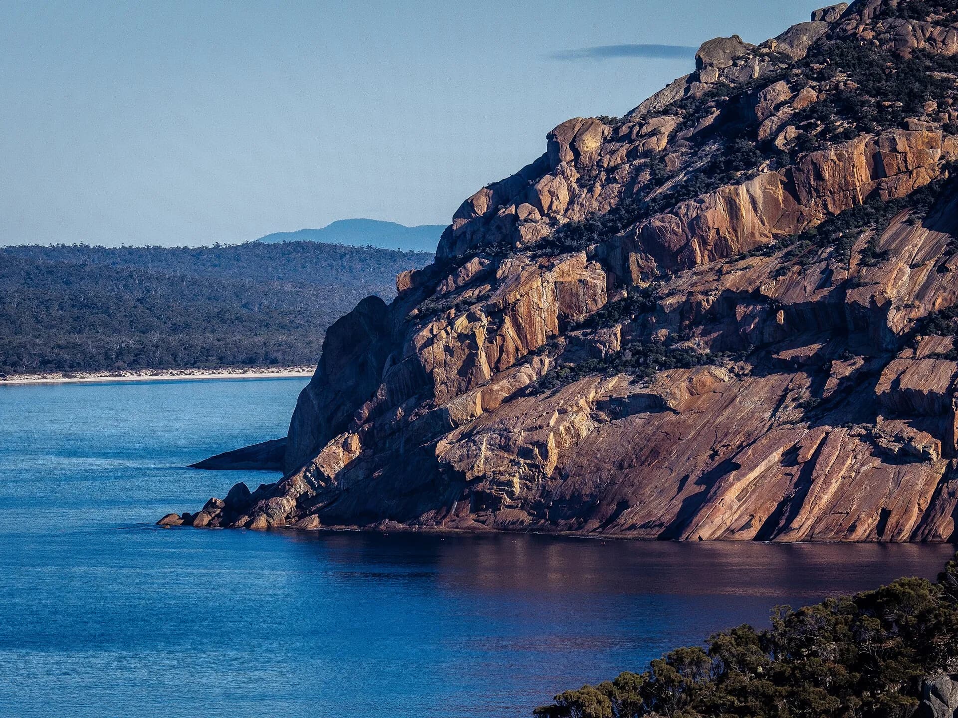
St Helens is the main service town for the northern East Coast and the southern approach to larapuna / Bay of Fires. The conservation area has camping and beaches, while the northern coast enters Mount William National Park.
How many days
Three days can cover the highway and one major park, but five to seven days gives time for Maria Island, Freycinet, Bicheno and St Helens without constant packing. Summer needs advance accommodation and campsite planning. Winter is quieter, with shorter daylight and cool coastal weather.
Avoid driving at night where possible. Wildlife is common on road edges, and town services may close earlier than in Hobart or Launceston.