
Balfour is a former copper-mining settlement in the remote interior of north-west Tasmania. Tracks, foundations and mine remains survive among forest and buttongrass, but this is not a serviced ghost-town attraction or an easy detour from the highway.
The settlement grew around copper
Prospecting and mining drew people to Balfour in the early twentieth century. The Tasmanian Heritage Register records the former town and mining landscape as a connected place, including streets, workings and evidence of life in an isolated mineral field.
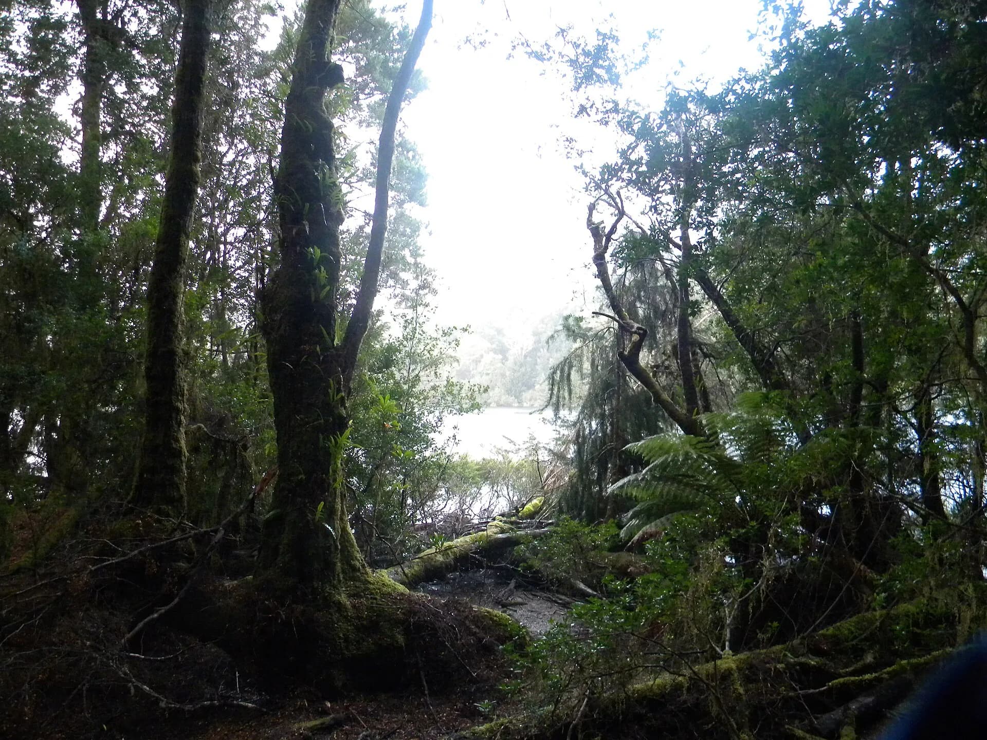

Old shafts, trenches and unstable ground are serious hazards. Do not enter workings, remove artefacts or assume that a faint track is public access. Mineral Resources Tasmania and the Heritage Register provide safer research paths than exploring abandoned structures.
Balfour Track needs a permit and preparation
The Balfour Track crosses the Arthur-Pieman Conservation Area between the coast and Norfolk Road. Parks Tasmania requires a Recreational Driver Pass for this track. The current driving guide, supplied with the pass, contains route maps, preparation requirements and conservation rules.
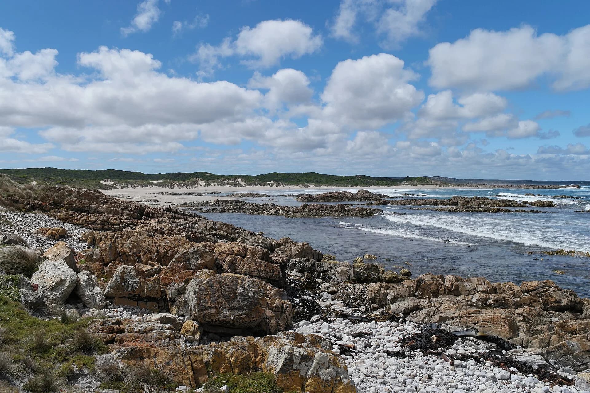

Deep water, soft ground, weather and vehicle recovery make this a route for properly equipped four-wheel-drive users. Travel with another vehicle where advised, carry communication and recovery equipment, and never bypass a closure.
Separate the historic settlement from the coastal track
The name Balfour is used for the old settlement, surrounding forest and a regulated vehicle route. They are related, but they are not one compact visitor site. Confirm the intended access with Parks Tasmania and current maps before leaving Smithton or Arthur River.
.jpg)
Use the takayna / Tarkine guide for regional context and the Arthur River guide for the closest staffed Parks Tasmania contact point. Corinna is a separate destination south of the Pieman River, not a direct service stop for Balfour.