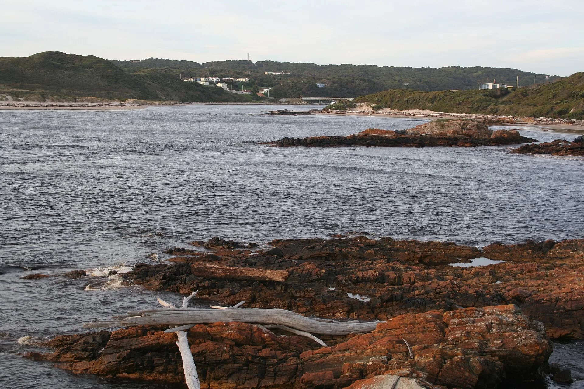

The takayna/Tarkine coast runs through one of Tasmania’s most exposed and culturally significant landscapes. Around Arthur River, Couta Rocks, Temma and the Arthur-Pieman Conservation Area, roads and tracks meet long beaches, dune fields, rocky points and powerful Southern Ocean weather.
A living Aboriginal cultural landscape
Parks Tasmania identifies the area as the homelands of the Peerapper, Manegin, Tarkiner and Peternidic clans. Cultural places include extensive shell middens, hut depressions, artefacts and other evidence of long occupation.
Visitors must not drive or walk over cultural deposits, remove material or treat heritage places as campsites. Some fragile features are hard to recognise without knowledge, which is a strong reason to stay on authorised routes and follow closures.

What can be reached in a conventional vehicle
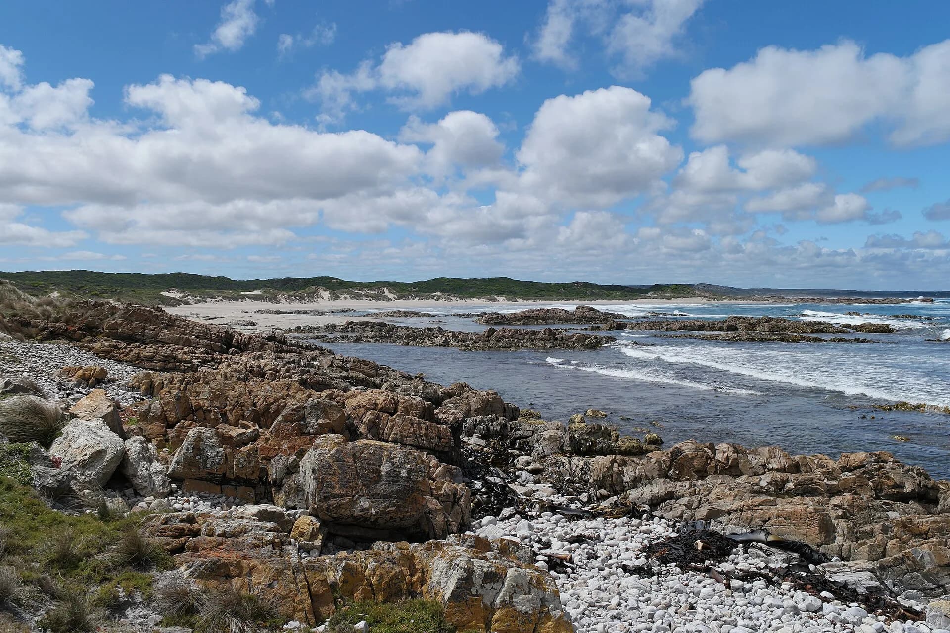
The main roads to Arthur River and some established coastal communities are suitable for conventional vehicles in ordinary conditions, although they remain remote and weather-exposed. Stop for fuel and supplies before the final approach, check current road advice and do not assume mobile coverage.
Coastal weather can bring strong wind, salt spray, poor visibility and heavy rain. Beaches are often unsuitable for swimming, and river bars or rock platforms require particular caution.
.jpg)
Four-wheel-drive access requires preparation
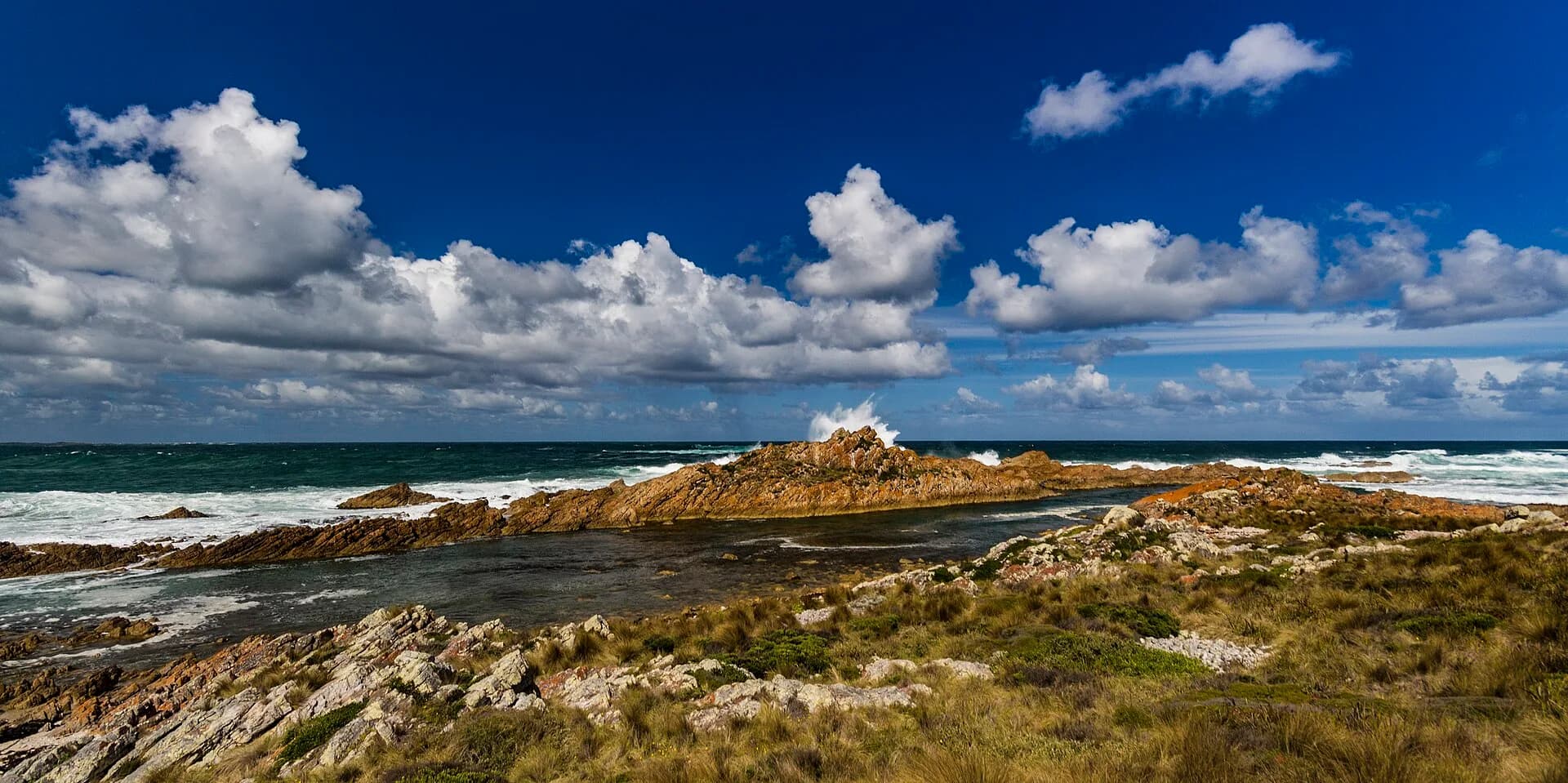
Recreational driving on designated Arthur-Pieman tracks requires the correct pass and compliance with current conditions. Parks Tasmania distinguishes between ordinary road access and managed four-wheel-drive routes. Some tracks close to protect safety or cultural and natural values.
A permit does not make a track easy. Carry recovery equipment, understand tides where routes approach beaches, travel with another vehicle when recommended and turn back before conditions exceed the vehicle or driver. Never create a bypass around a wet or closed section.
.jpg)
Build time into the coast
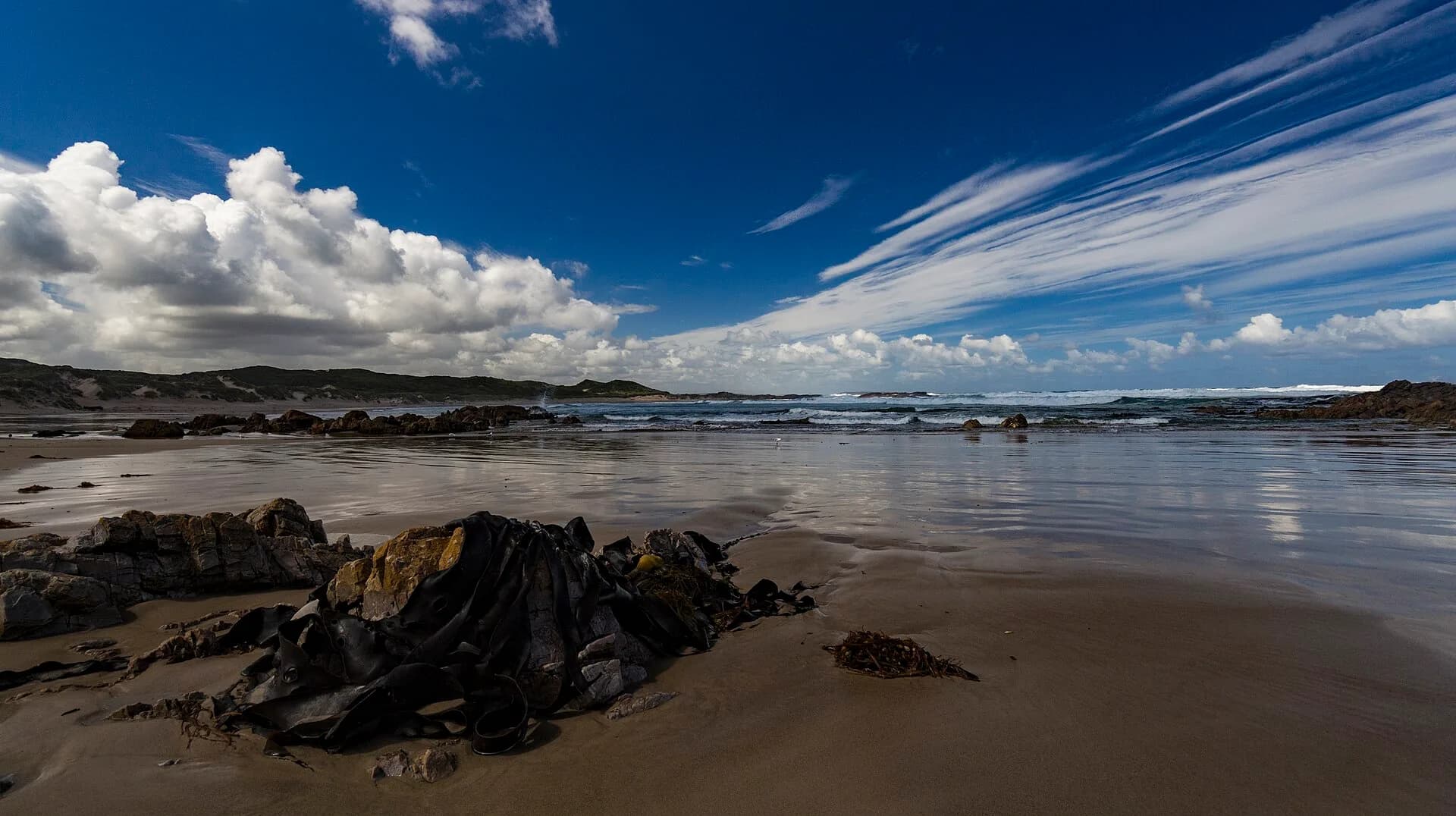
Arthur River is the practical northern focus and a useful place to understand conditions before continuing south. Distances can be deceptive because stops, gravel, wildlife and weather slow travel. Plan fewer destinations than the map suggests.
For regional context, connect the coast with Stanley, the broader north-west history and place names of north-west Tasmania. The value of the coast lies in careful attention to place, not in covering every track.