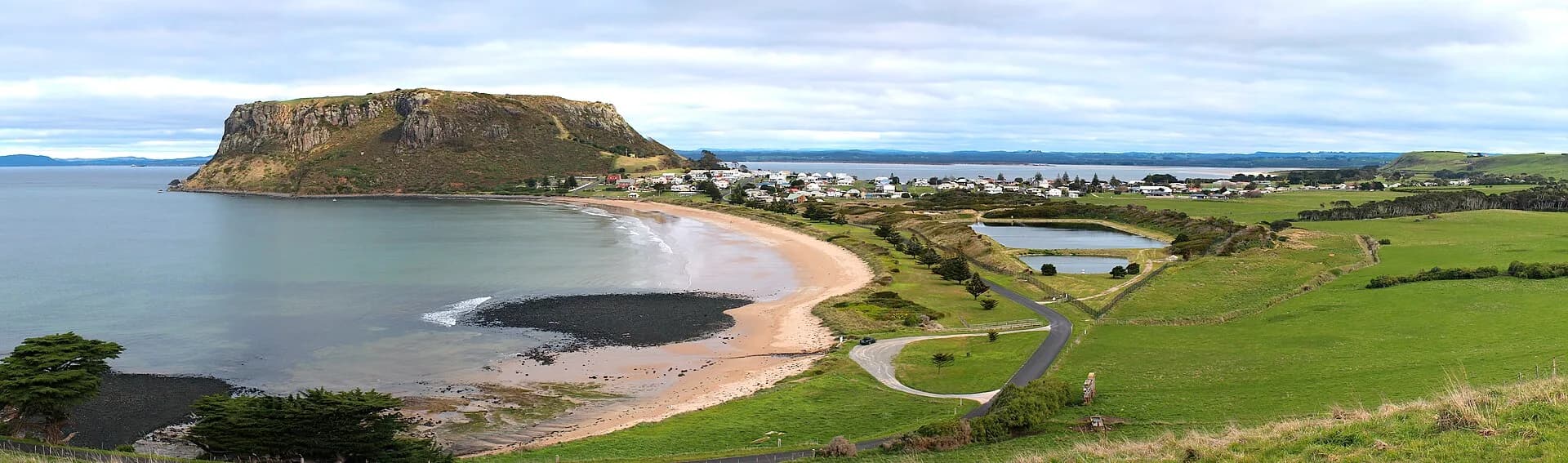

Stanley occupies a narrow strip of land beneath the volcanic headland widely known as The Nut and increasingly acknowledged as munatrik. Its port, historic streets and coastal walks fit into a compact area, while Highfield and surrounding beaches extend the visit.
The Nut State Reserve
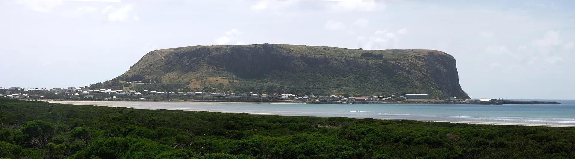
The Nut rises 143 metres above the town. Parks Tasmania describes it as the core of a long-extinct volcano and a place with significant Aboriginal, geological and wildlife values.
The walking track to the summit is short and very steep. A privately operated chairlift may provide another option, but operating dates and weather closures vary. On the plateau, the 2.7 kilometre circuit takes about an hour for many walkers.

Stay on tracks around breeding seabirds and cultural places. Wind can be strong even when the town is sheltered.
Streets and harbour
Stanley’s centre contains cottages, churches, former hotels and commercial buildings from different periods. The Stanley heritage walk provides a compact route through public streets and harbour viewpoints.
The harbour remains a working place. Keep clear of loading areas and fishing operations. Godfreys Beach has a penguin-viewing platform where red lighting and quiet behaviour reduce disturbance.
Highfield Historic Site
Highfield stands on open ground west of the town. The Van Diemen’s Land Company developed the estate during early British occupation of the north-west. Convict labour and Aboriginal dispossession are central to that history.
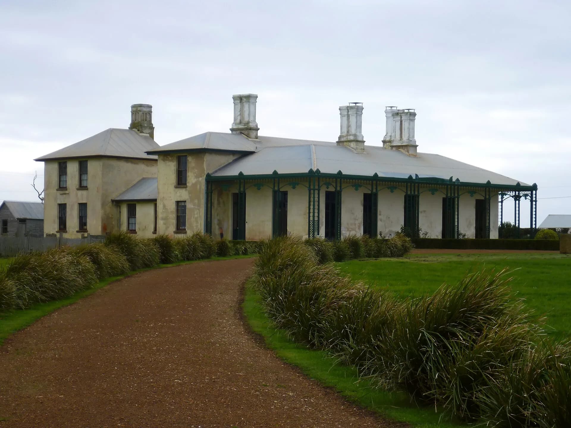

Parks Tasmania manages the site. Check current opening hours and admission information before making it the fixed point of a tight itinerary.
How long to stay
One full day covers the town, one major walk and Highfield if hours align. An overnight stay makes space for changing weather, evening wildlife viewing and the history of Stanley.
Stanley is around 80 kilometres west of Burnie. Fuel before remote side trips and avoid wildlife driving after dark. Coastal weather can be cold and wet at any time of year.