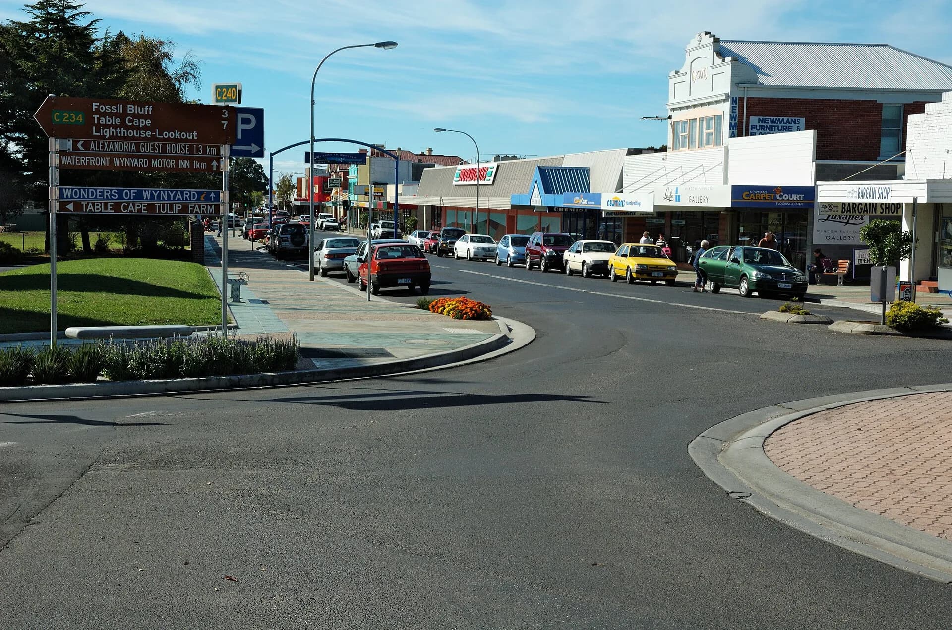

Wynyard developed beside the Inglis River on the Country of north-west Tasmanian Aboriginal people. European settlement grew through farming, timber, small-scale shipping and roads linking Table Cape with the wider coast.
River and port shaped the early town
The Inglis provided an anchorage and transport route, though bar conditions limited shipping. Streets and businesses developed near the crossing and waterfront rather than around a deep-water port.
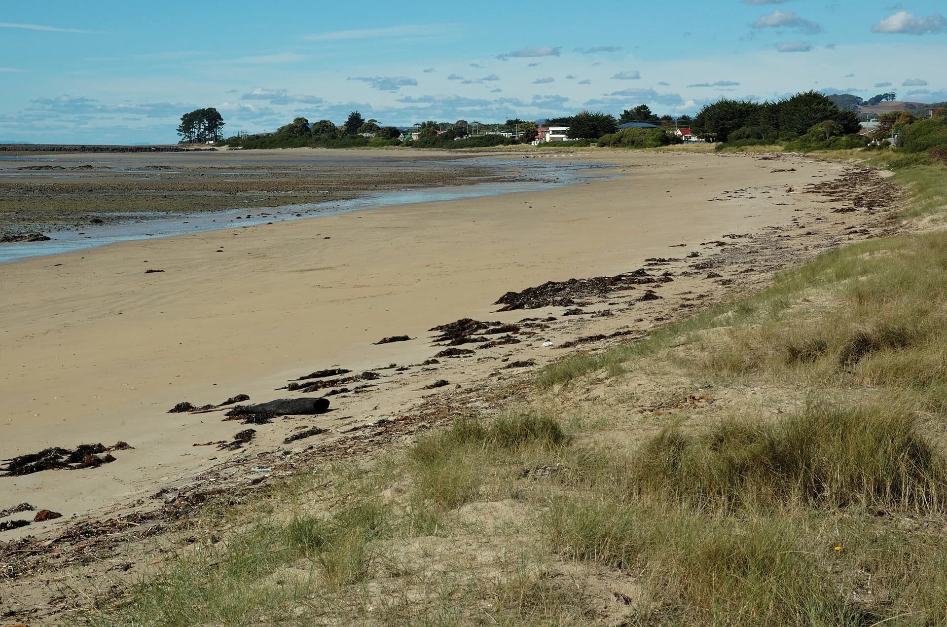

Rail and road changed the district
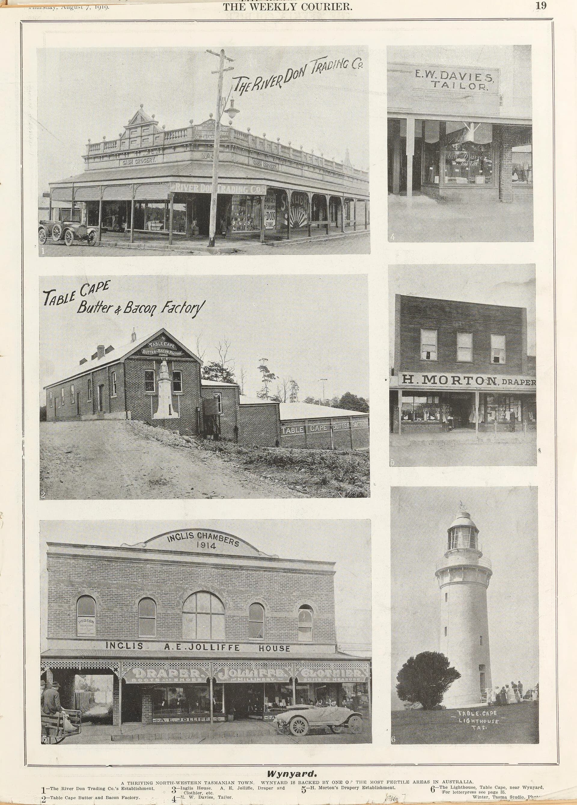
Railway connection supported produce and passenger movement before motor roads and freight patterns reduced its role. Historic photographs record a compact town serving farms around Table Cape.
_(13415643064).jpg)
Collections connect machines with people
Local museum collections include transport, farming and domestic material. Objects become useful history when linked to makers, workers, owners and verified dates.


Use the North West Tasmania guide for a present-day visit and the North West history page for regional context.