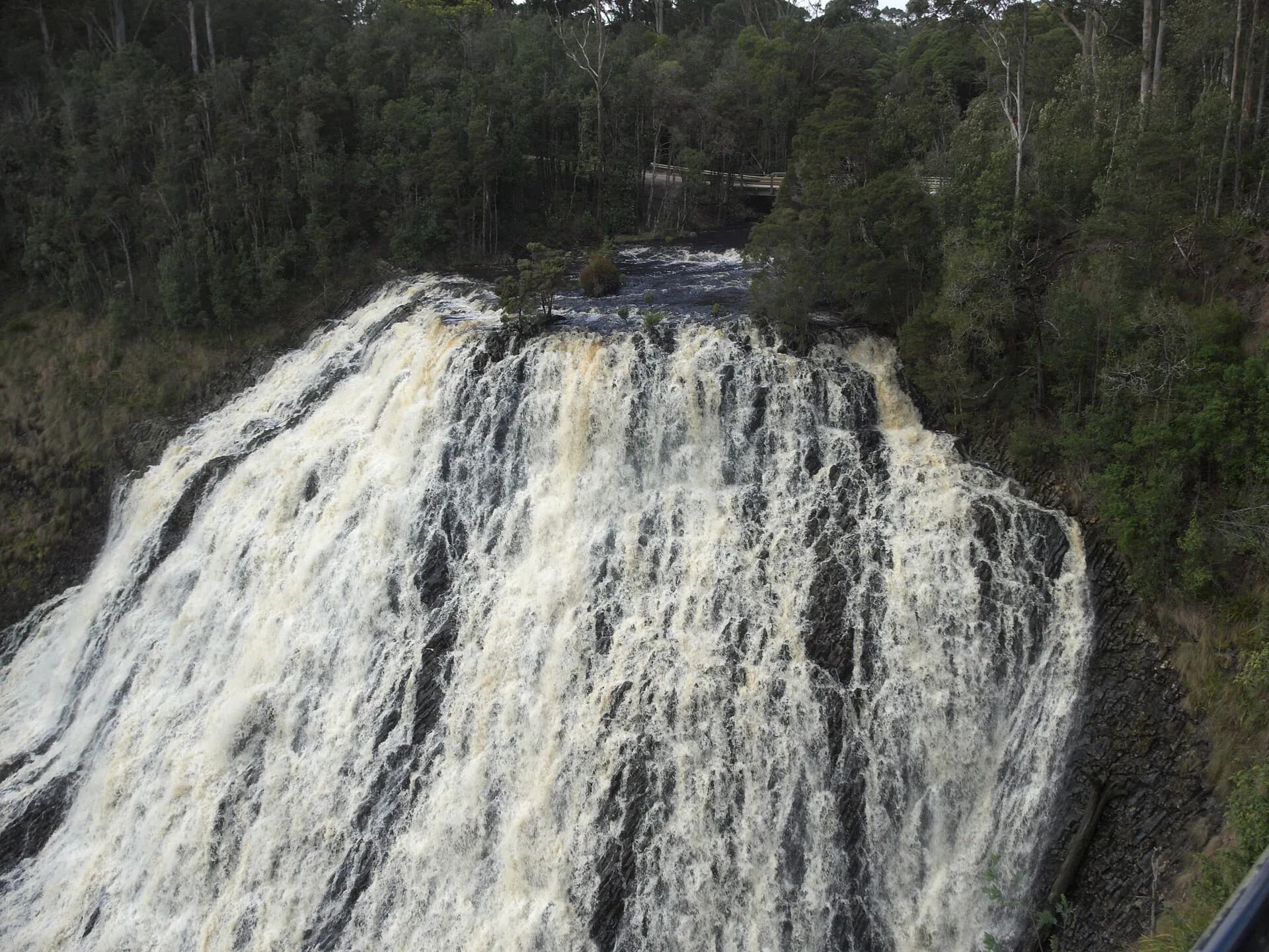

North-west Tasmania’s waterfalls range from roadside lookouts to long forest walks. Rain can make a fall impressive while also flooding tracks, making roads slippery and increasing river hazards.
Dip Falls has developed lookouts
Dip Falls near Mawbanna drops over distinctive columnar rock. The upper area has formed access, while lower viewpoints involve steps. Check Waratah–Wynyard Council information for road and facility conditions.
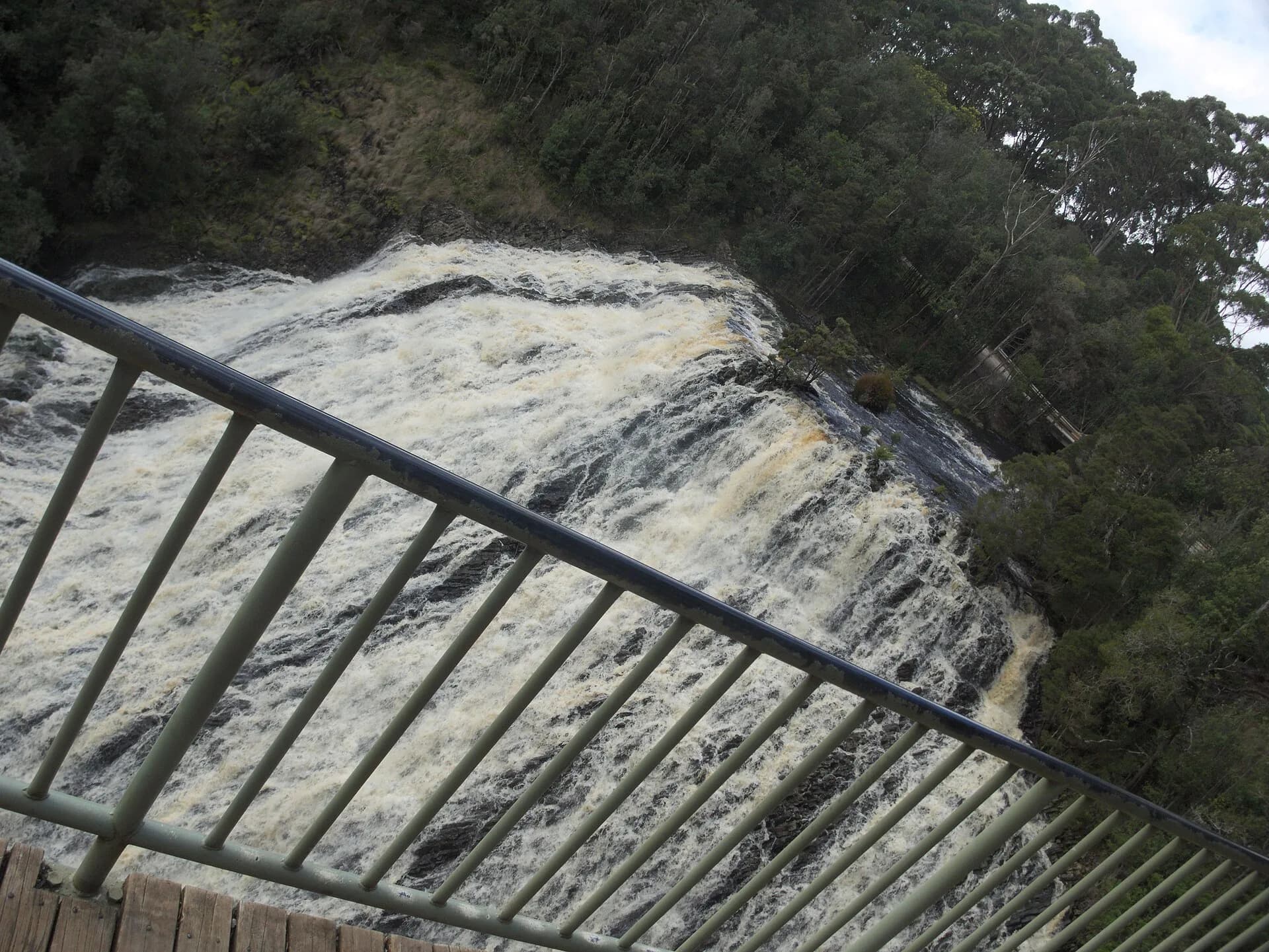

Guide Falls is a short Burnie hinterland stop
Guide Falls near Ridgley has a short approach and picnic setting. Rock beside any waterfall can be slippery, and water levels can rise quickly after rain.
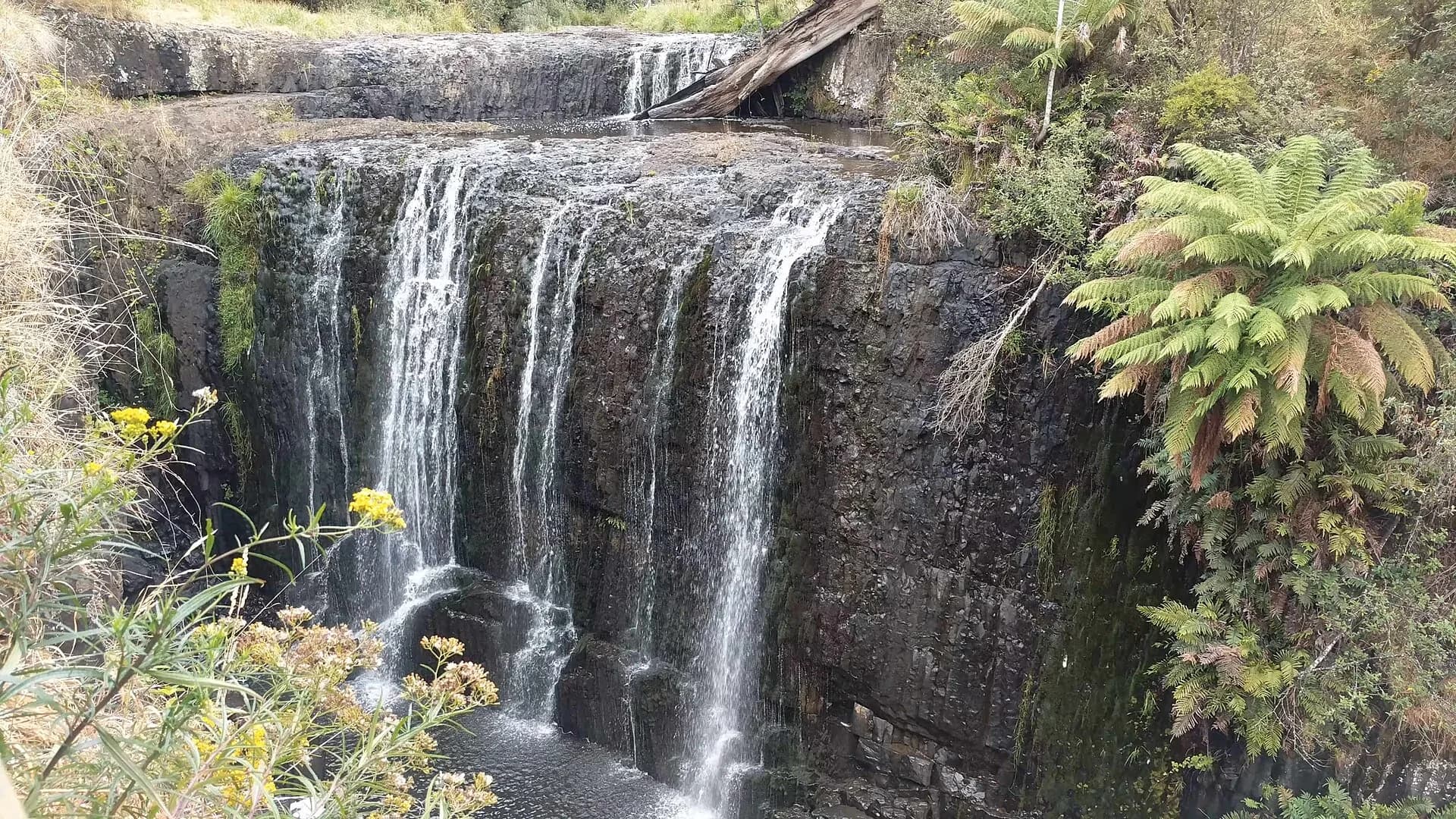

Montezuma Falls requires a longer walk
The track from Williamsford follows an old tramway through rainforest. Parks Tasmania grades and manages the route, including the suspension bridge near the falls. It needs footwear, time and weather preparation.
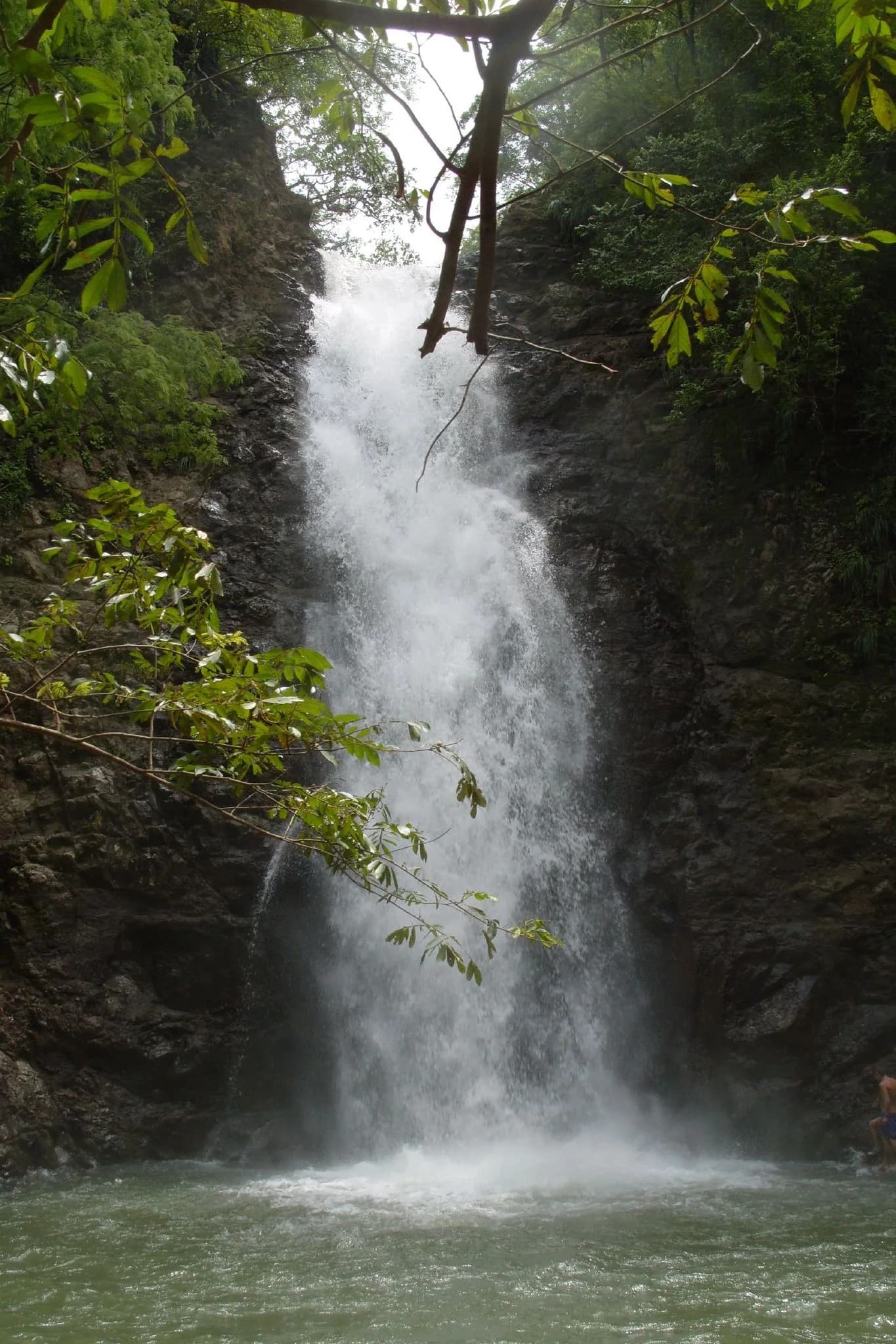

Other named falls may cross private land, forestry roads or poorly maintained tracks. Verify each route with the land manager instead of relying on an old list. Use Waratah, Rosebery and Burnie Park as reliable starting points.