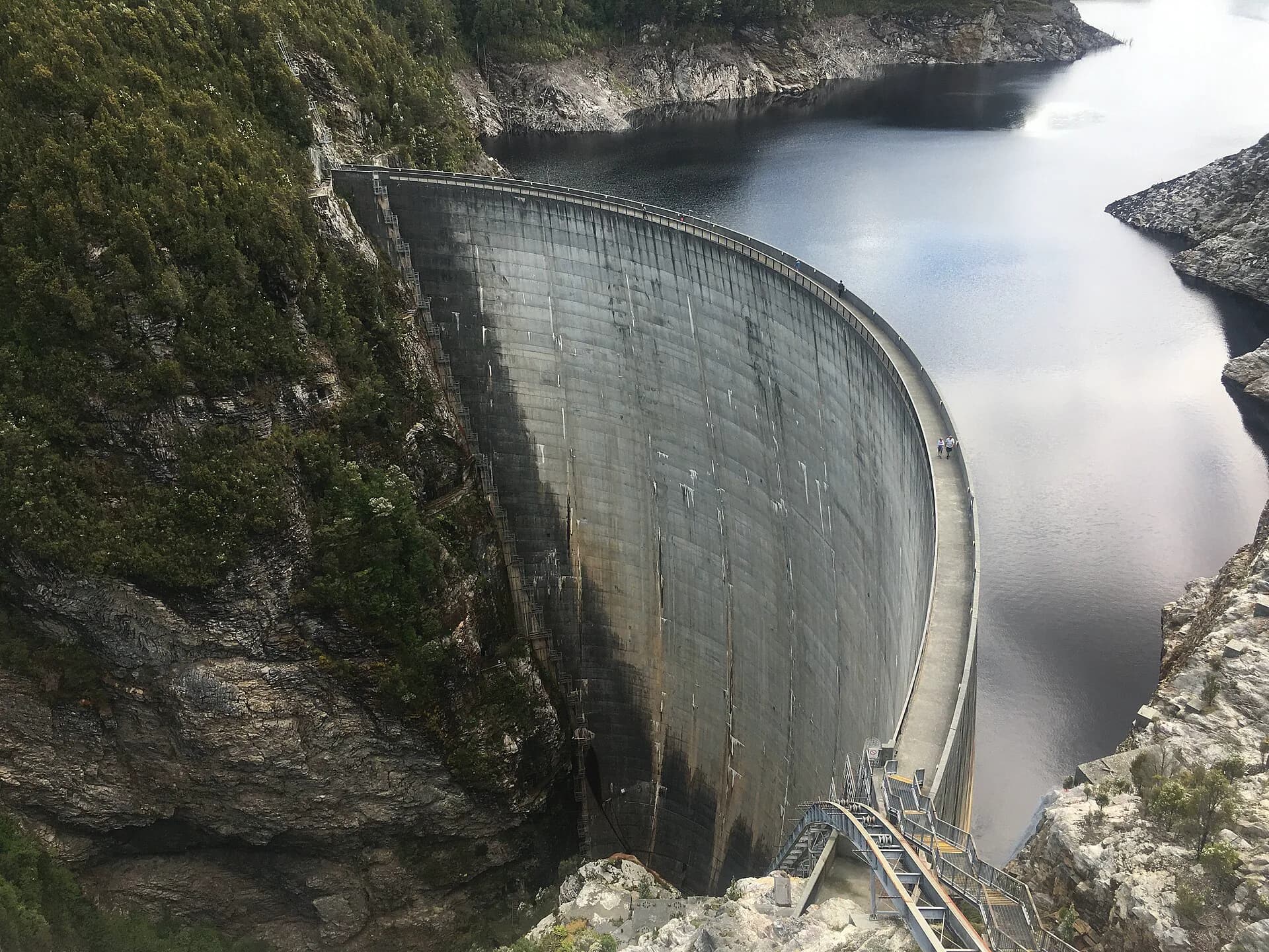

Gordon River Road leaves the Derwent Valley near Westerway and continues west through Maydena and Southwest National Park to Strathgordon. The sealed road ends at Gordon Dam. It is a return journey, not a through-route to the west coast.
Prepare before leaving the Derwent Valley
Fuel, food and mobile coverage become limited. Check TasALERT, weather and Hydro Tasmania visitor notices before departure, and avoid beginning late in the day. Wildlife is active around dawn and dusk.


Lake Pedder is a hydro-electric storage and contested landscape
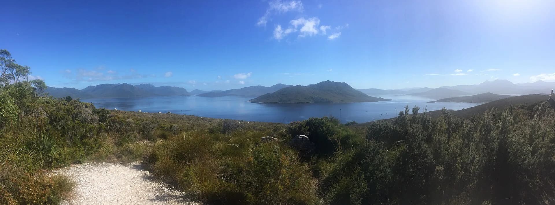
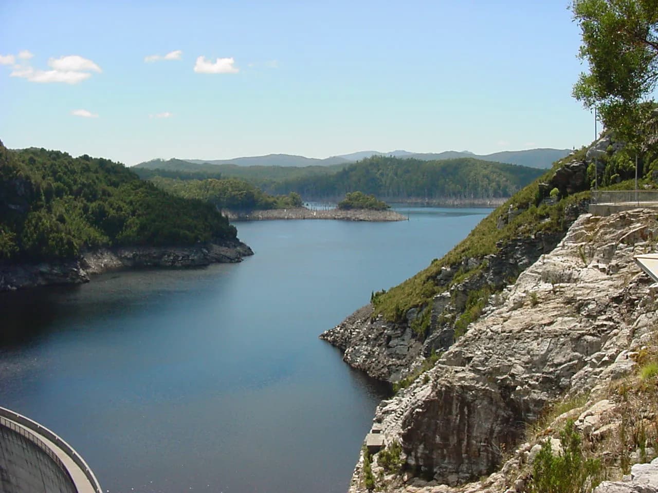
The present lake was created when the original Lake Pedder and surrounding valleys were inundated for the Gordon power development in the early 1970s. Lookouts reveal the scale of the storage, but shorelines can be steep and water levels change.

Gordon Dam is the end of the public road
Hydro Tasmania completed Gordon Dam in 1974. A formed visitor route descends to the top of the 140-metre wall when open. Heights, stairs and exposed weather make the stop unsuitable for some visitors, and operational closures must be respected.

Side trips need separate time
Mount Field, Maydena, the Florentine and Scotts Peak Road cannot all be compressed into one easy day. Scotts Peak Road is a long gravel route with its own conditions. For a first visit, choose a small number of stops and return before dark. Use Lake Gordon, Maydena and Westerway for closer planning.