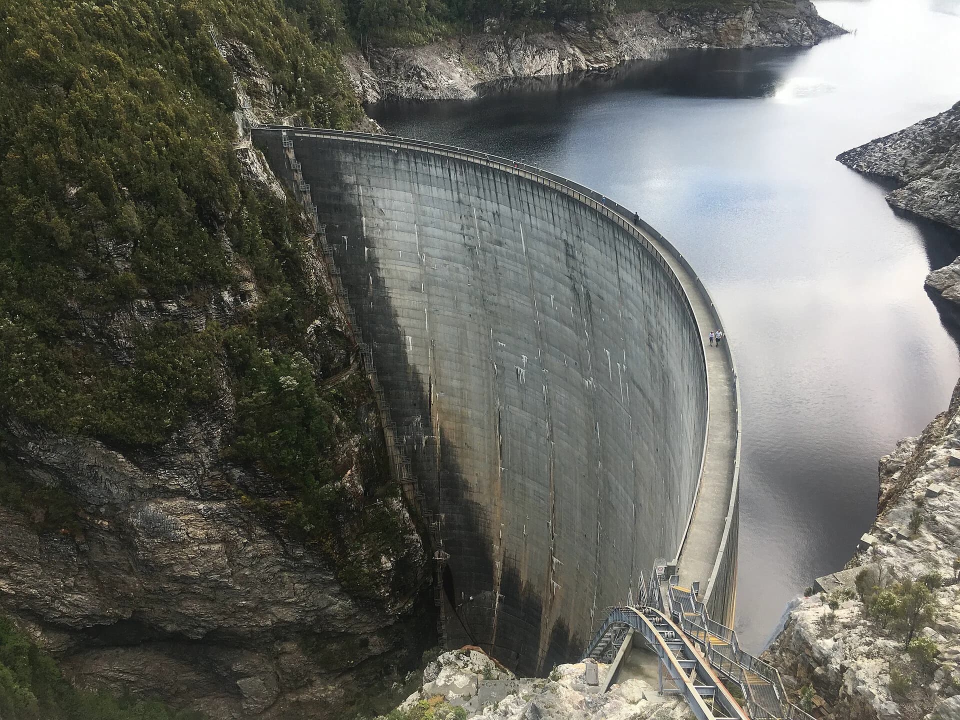

Lake Gordon sits at a difficult meeting point between engineering and wilderness. It is a vast hydro-electric storage inside Southwest National Park and the Tasmanian Wilderness World Heritage Area. At its southern end, Gordon Dam curves across a steep gorge above the river, creating one of Tasmania's most arresting built landscapes.
The lake is not a quick roadside stop. Reaching it means following the Gordon River Road west from Maydena through buttongrass plains, forest and mountain country. The journey is part of the visit, and the remoteness demands more preparation than the sealed surface might suggest.
Lake, dam and power station
Gordon Dam is a double-curvature concrete arch dam. Hydro Tasmania records it as 140 metres high and 192 metres long. The final concrete was poured on 25 November 1974. Behind it, Lake Gordon connects with Lake Pedder through the McPartlan Pass Canal as part of the Gordon–Pedder power scheme.
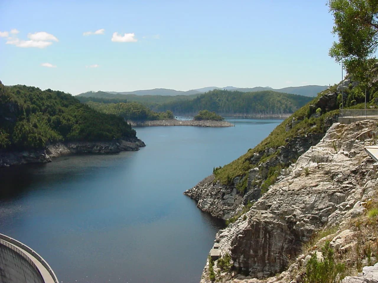

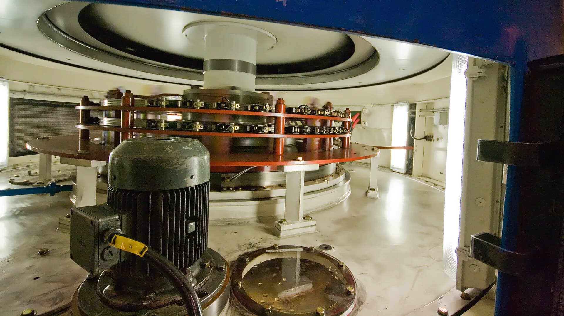
Water drops through a vertical shaft and travels through a tunnel to Gordon Power Station, built 183 metres underground. The station has three Francis turbines and a generating capacity of 432 megawatts. Its scale is mostly hidden, which makes the view from the dam wall only a partial picture of the system.
Hydro Tasmania describes Lake Gordon and Lake Pedder together as its largest water storage. Lake levels vary with rainfall and power-system operation. A low shoreline can expose a broad pale band around the lake, a reminder that this is managed storage rather than a natural lake in equilibrium.
A landscape shaped by a larger hydro scheme
Work on the access road began in the 1960s, and Strathgordon was built to house the construction workforce. At its peak, the town had around 2,000 residents and services that included shops, a school and a heated swimming pool. Much of the present road journey follows infrastructure created for the Middle Gordon development.
The scheme cannot be separated from the flooding of the original Lake Pedder and the environmental politics that followed. Gordon Dam itself was completed, while the later proposal to dam the lower Gordon and Franklin rivers was stopped after a national campaign and a High Court decision in 1983. These are distinct projects, but together they reshaped Australian debate about wilderness, public power and environmental law.

Visiting Gordon Dam
The public lookout and dam steps are near the end of the Gordon River Road beyond Strathgordon. The stairs descend steeply to the crest of the dam. Heights, wind, rain and wet surfaces can make the experience uncomfortable, and visitors should remain behind barriers and follow all site signs.
Parks and Wildlife Service advises that there is no fuel beyond Maydena. The road is sealed but narrow, steep and winding in places, and snow or ice can occur. There is no reliable assumption of phone coverage. Carry food, water, warm and waterproof clothing, and enough fuel for the return journey.
Check current park alerts before leaving. Conditions and access arrangements can change for maintenance or severe weather. Avoid driving around dawn, dusk and at night where possible because wildlife is common on the road.
Stops on the Gordon River Road
The drive passes Mount Field and the upper Derwent Valley before entering increasingly remote country. Worthwhile stops may include the Creepy Crawly Nature Trail, the Sentinel Range lookout, the Serpentine Dam area and viewpoints over Lake Pedder. Availability changes, so use the official Southwest National Park page rather than relying on an old itinerary.
Lake Gordon is popular with experienced anglers and boaters, but cold water, rapid weather changes and fluctuating levels introduce real hazards. Launch only from recognised access points, check inland fishing rules and current lake information, and do not treat an exposed shore as a formed track.
For wider trip planning, see places in Tasmania and Tasmania road trips. The page on Tasmania's convict past explains a very different infrastructure history elsewhere on the island.