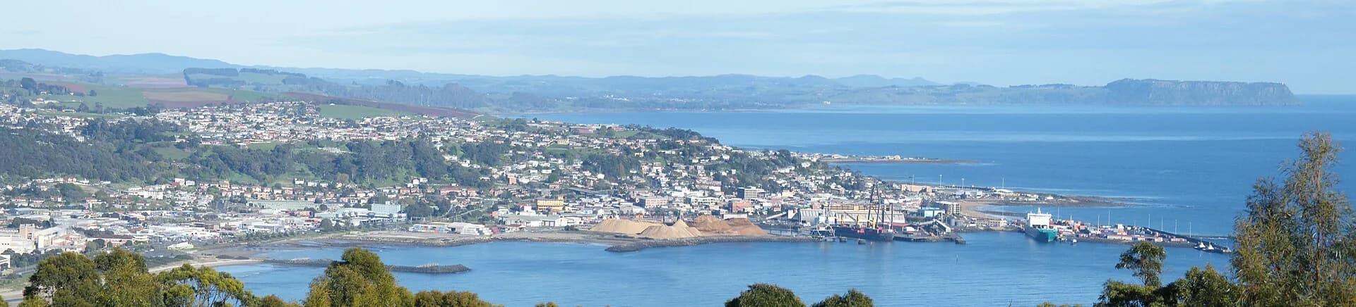

Burnie’s useful visitor stops extend beyond the waterfront. River reserves sit close to the city, while waterfalls, picnic grounds and farming districts spread inland along roads used by residents, forestry vehicles and farm machinery.
Start close to town
Fern Glade Reserve follows the Emu River on Burnie’s edge and has short riverside tracks. Romaine Reserve provides an easy circuit around its dam, while View Road Reserve has walking and riding facilities. These are local recreation spaces, so observe dog zones, shared-track signs and opening conditions.

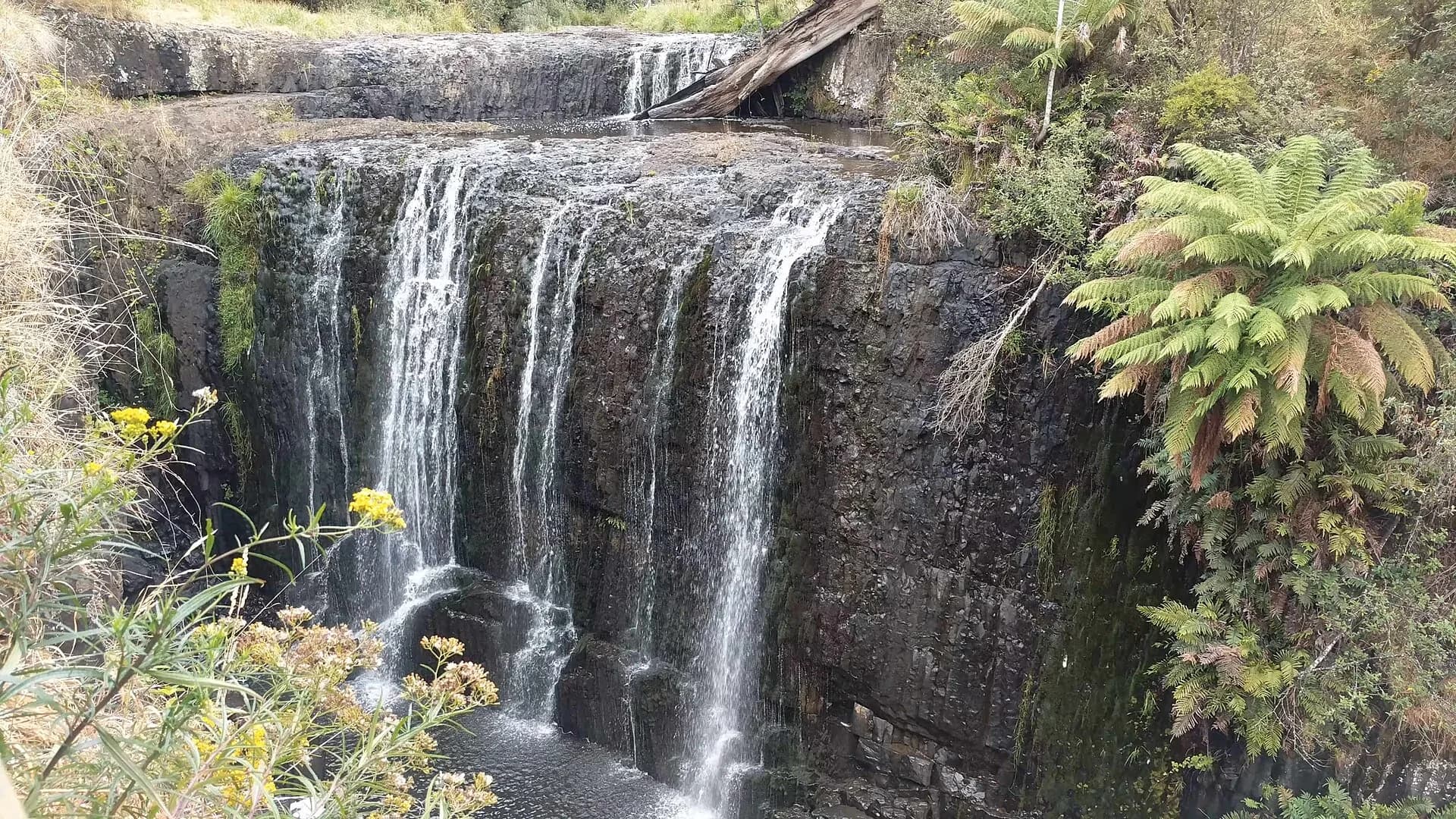
Continue inland to Guide Falls
Guide Falls is about a 20-minute drive south of Burnie through Ridgley. A formed path runs from the reserve parking area to the falls, but rock and steps can be slippery. Water level changes with rain, and a fuller waterfall also means wetter roads and surfaces.

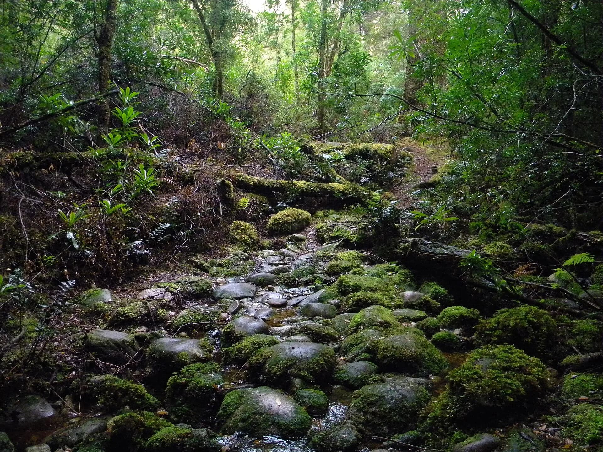
Upper Natone Reserve lies farther through Stowport and Natone. Burnie City Council lists a short forest and lake walk, toilets, picnic tables and barbecues. The reserve is open in daylight hours, has no public bins and prohibits motorcycles.

Treat the coast as another route
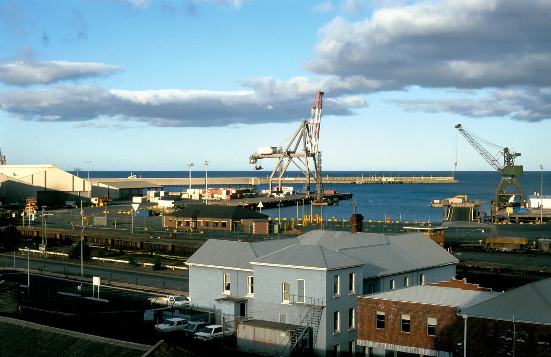
Somerset, Wivenhoe, Round Hill and Sulphur Creek sit along or near the Bass Strait corridor. Industrial viewpoints, beaches and headlands offer a different Burnie story, but roadside stopping is not safe around highway ramps, factories or port approaches.

Choose two or three stops rather than racing between every locality. Pair the circuit with pataway / Burnie, Fern Glade Reserve and the Burnie coast.