

North-west Tasmania’s shore changes from urban promenades and river mouths to small sheltered bays, rock platforms and long exposed beaches. A beach that looks calm in one photograph can face cold water, strong wind or a dangerous rip on another day.
Central coast beaches suit short stops
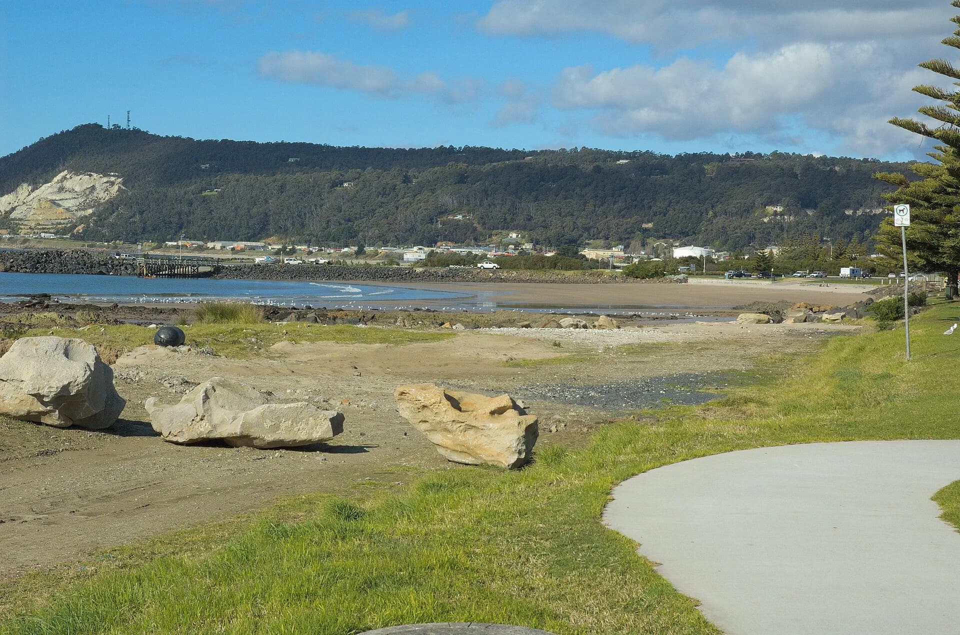
Beaches around Devonport, Ulverstone and Penguin sit close to towns and facilities. River mouths, outfalls and boat traffic affect conditions, so check local signs and water-quality advice rather than choosing solely by convenience.

Wynyard and Boat Harbour offer different shelter
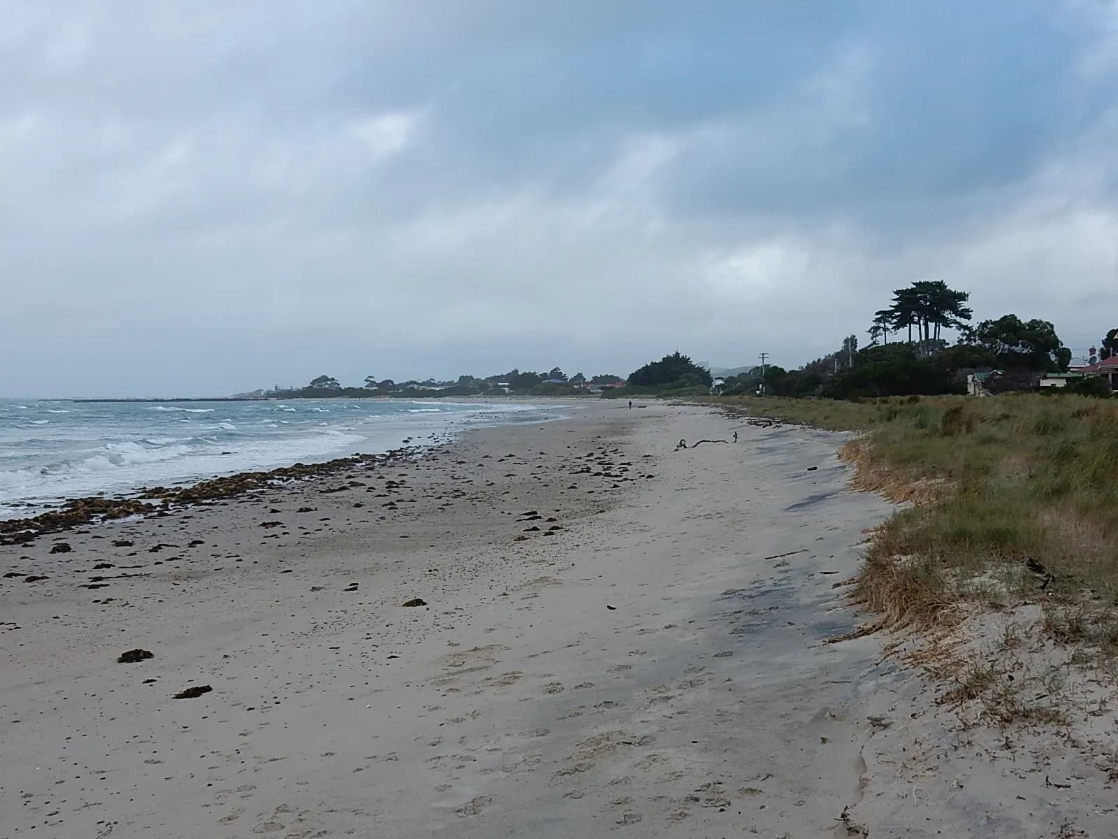
Wynyard’s shore meets the Inglis River and open Bass Strait. Boat Harbour Beach occupies a smaller bay with seasonal patrols and limited public parking.
.jpg)
The far north-west is more exposed
Beyond Rocky Cape, beaches become longer, windier and more remote. Access may cross protected reserves and Aboriginal cultural landscapes. Follow signs, keep vehicles to open routes and carry a conservative turnaround plan.
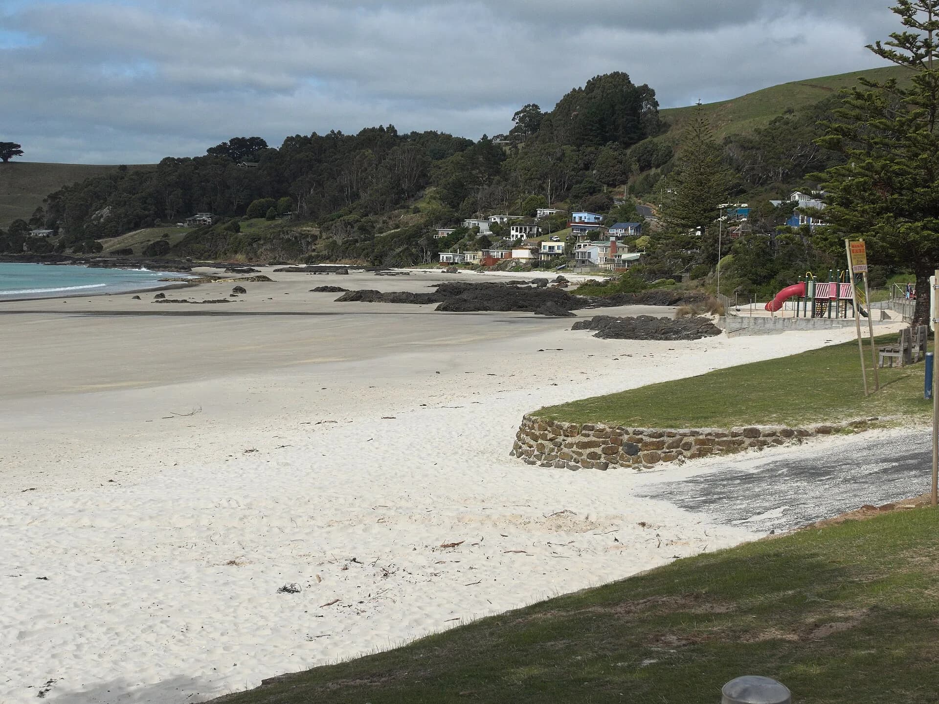

Compare the detailed Central Coast beaches, Burnie beaches and Wynyard guide. Check Beachsafe for current patrol and hazard information before swimming.